Canada's Capital is home to 883,391 people and occupies an area of 2,778.13 square kilometres which, by comparison, is approximately four times the size of the city of Toronto and roughly twice the size of New York City. However, only 501.92 square kilometres of this area is considered urban, leaving most of it either used as farmland or protected by a Greenbelt. The particularity, resulting from the 2001 amalgamation of the surrounding municipalities, leads to a wide array of architectural styles and densities.
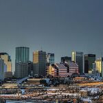
 The Ottawa skyline and Parliament buildings, picture by Flickr user ankakay
Indeed, while some villages and hamlets populate that vast area, Ottawa's downtown core shows a densely built environment dominated by the 92-metre high Peace Tower and other office and residential edifices. As a symbol of the nation, views of the Parliament building were protected for a long time by height restrictions limiting new constructions to a maximum of 45.5 metres in the central business district. Lifted in 1973 by the National Capital Commission (NCC), this restriction was replaced by rather complex measures that allow varying heights for buildings across the core, depending on the neighbourhood they are located in, so to not block the view towards the Parliament from certain angles.
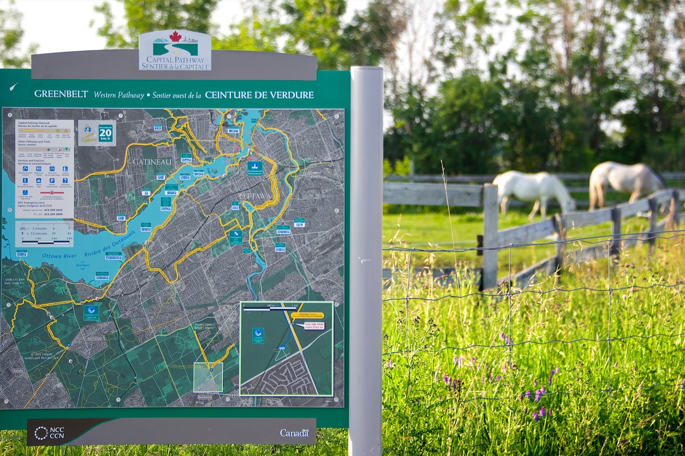 Ottawa's Greenbelt, picture by Flickr user Jamie McCaffrey
As a result, the downtown core is now divided in three different zones, each of them with unique height restriction. The buildings located in the business district and in the area north of Gloucester Street have a limit of 22 storeys, those between Gloucester and Somerset Streets can rise up to 12 storeys, while those south of Somerset should stand no more than three storeys above ground.
 Height limits protecting the views of the Parliament building in downtown Ottawa, courtesy of the City of Ottawa
A few exceptions can be spotted across the National Capital Region, the tallest on the Ontario side being Campeau Corporation's Place de Ville Tower C, completed in 1972, which rises 29 storeys and 112 meters at the intersection of Queen and Lyon Streets. Originally planned to be 145 metres tall, Tower C's plans were scrapped in 1968 when the NCC expressed concerns about the impacts a tall building would have on both the skyline and the city's policy, worried that it could set a precedent and further lead to even taller buildings being proposed for the area.
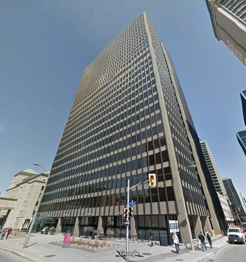 Place de Ville, Tower C, is the tallest building in Ottawa, image retrieved from Google Maps
Conflicts between the NCC, the Ontario Municipal Board (OMB), which overrules planning decisions in Ontarian municipalities, and the City of Ottawa reached a new peak in April 2015, when the latter decided to take to court the OMB's decision to prevent the city from altering its official plan to define height standards for the Centretown area, instead of using zoning bylaws. This process makes it more difficult and onerous for developers to apply for variations to their projects' heights since they would have to go through an OMB appeal rather than applying for a rezoning.
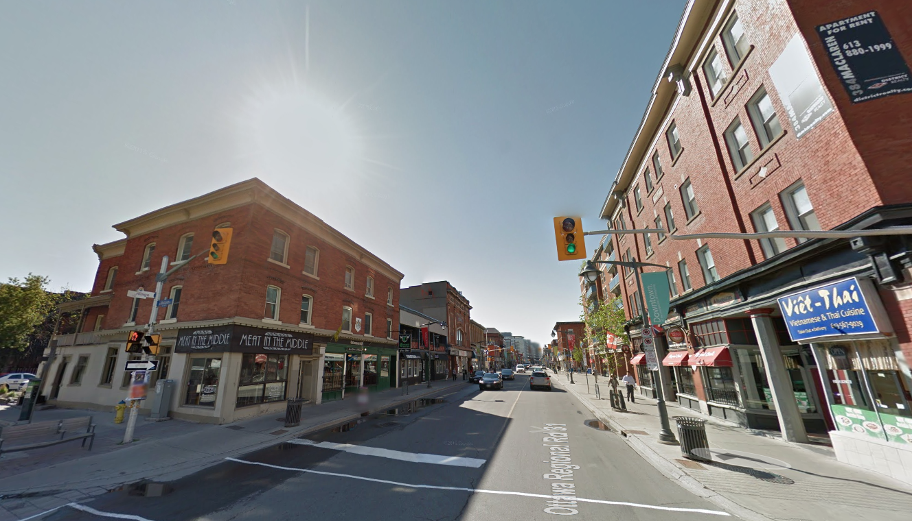 Bank Street in Centretown, Ottawa, image retrieved from Google Maps
Ordered by the City of Ottawa and completed in 2012, the Mid-Centretown Area District Plan aimed to update a 35-year-old plan restricting development of an area bounded by Gloucester to the north, the Rideau Canal to the east, the Ottawa River to the west and the 417 Highway to the south. It recommends, among other things, that five- to nine-storey buildings be allowed in the neighbourhood. This would help the city meet its intensification goals by providing more units in the city centre while preserving the heritage and residential character of the area.
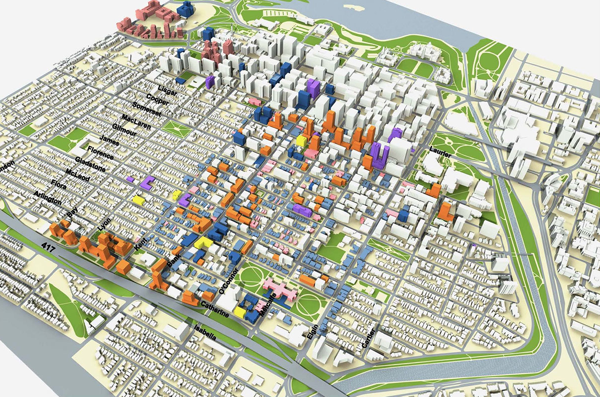 Ottawa Mid-Centretown Community Design Plan, courtesy of Urban Strategies
The much smaller Downtown area bordered by the Ottawa River, the Rideau Canal, Gloucester Street and Bronson Avenue has experienced a ten per cent growth of its population between 2006 and 2011, bringing it to a total of 4,123. Traditionally more business-oriented than Centretown, it remains a depopulated neighbourhood once most of the 100,000 day time population has left.
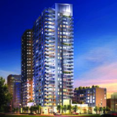
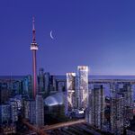
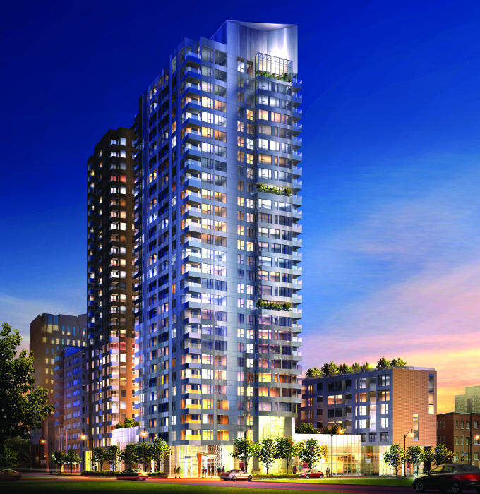 Tribeca Condominiums, Ottawa by Claridge Homes
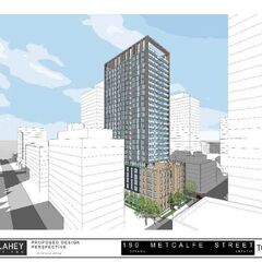
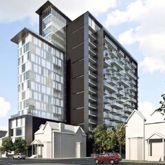
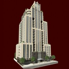
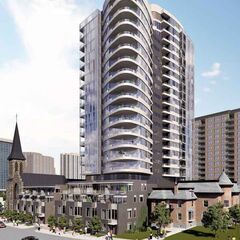
Nonetheless, a few recently completed projects will certainly have an impact on the downtown population as a whole. Tribeca Condominiums One and Two, 180 Metcalfe Street, all three of which are 27 floors high, along with 53-metre Gotham Ottawa, 20-level The Merit and Cathedral Hill are bringing residents to the edges of the downtown district.
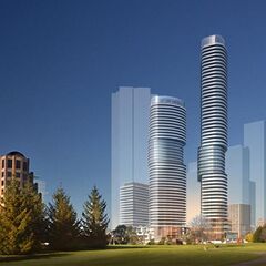
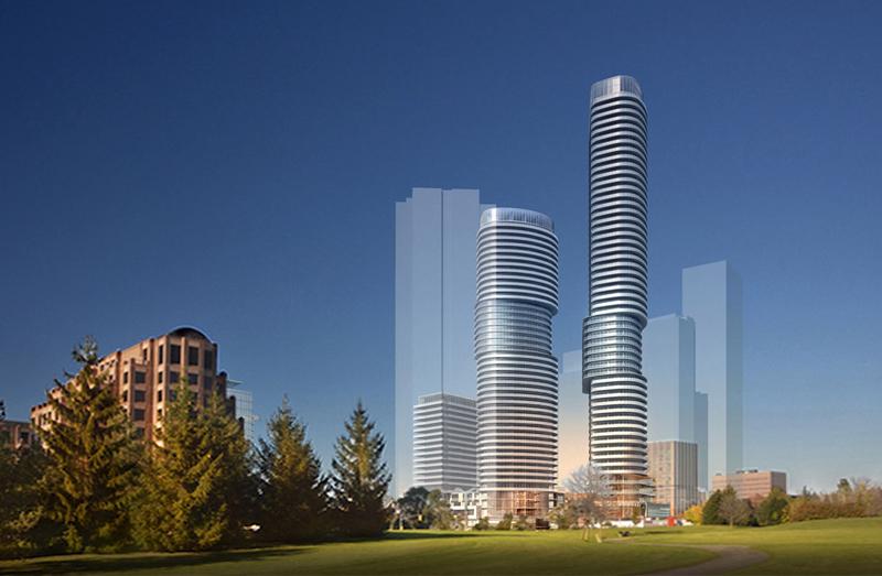 845 Carling, Ottawa, by Claridge Homes Architect and Hariri Pontarini Architects
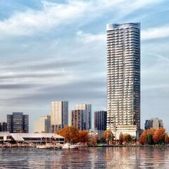
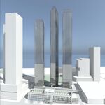
Other areas of the city, located farther from the Parliament buildings where height restrictions are looser, are planning for taller buildings. Such is the case in the southern tip of Little Italy, where 845 Carling proposes the addition of three towers rising at 191, 144 and 66 metres. On the other side of Preston Street the Claridge Icon could soon stand at 143 metres above ground and contribute to the metamorphosis of somewhat peripheral neighbourhoods should these projects go ahead, bringing density where zoning allows major developments to happen.
Learn more about these Ottawa projects in our dataBase, linked below, or join the conversation in the associated city and project Forum threads.
| Related Companies: | Graziani + Corazza Architects, Hariri Pontarini Architects |

 2.9K
2.9K 


