


Allandale25
Senior Member
Sounds like a good idea to me.
 www.toronto.com
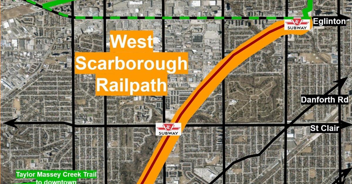
Map tweeted out by a candidate for Council:

FRESH NEW IDEAS: Create the West Scarborough Railpath to connect neighbourhoods, says Kevin Rupasinghe
Fresh New Ideas lets municipal candidates bring one proposal to improve their ward, city or school board directly to the public.
Map tweeted out by a candidate for Council:
Last edited:
")

