DSC
Superstar
This on Rotterdam may be of interest..... https://www.theguardian.com/environ...s-how-rotterdams-tidal-park-protects-the-city
View attachment 536942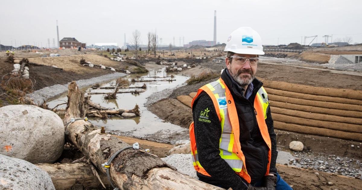
‘We’re finally filling it’: Water flows for the first time into the new Don River valley
The Star was had exclusive access to watch a major milestone in the reclamation of the Don River project.www.thestar.com


 …
…"How the water co-exists with its surroundings" had me chuckling.
Not sure who took this drone shot for this BlogTO article, but that's WAAAAAY to high to be flying right next to Billy Bishop airport.
Even with a special exemption to shoot in that area you are NOT allowed to fly that high.
Yikes.
View attachment 536984
They took it from the WaterfrontTO press release.Not sure who took this drone shot for this BlogTO article, but that's WAAAAAY to high to be flying right next to Billy Bishop airport.
Even with a special exemption to shoot in that area you are NOT allowed to fly that high.
Yikes.
That's a lot more water that I expected to see considering it's only been 24 hours since they began pumping. Is a lot of it just what's collected/melted from the winter showers?Fire and ice. And water.
I think it was my grandfather who once said, ‘if you live long enough, you’re going to see some pretty strange stuff’. I think I knew that what you’re about to see was a ‘thing’ since it must be done with underwater work for oil drills, etc. But, with ice!?
Removal of these involves underwater welding (visible in first image along the metal barrier).
View attachment 536982
View attachment 536967
Buddy popped his head up to do some above water/ice work…
View attachment 536968
View attachment 536969
View attachment 536970
View attachment 536972
View attachment 536971
Plenty of workers along all this section…
View attachment 536973
Seems as if water is a bit higher here…
View attachment 536974
View attachment 536975
Now that Villers St is closed, work seems to be significantly ramped up presumably to work on opening the ‘throat’ of the Don?
View attachment 536976
View attachment 536977
In anticipation of
View attachment 536978
Hasn't been much precipitation in the last few days, so that's primarily 'fresh' water near 'lemon' bridge. In the south view from 'orange', this is somewhat 'uphill' from where they've added the new water inflow. Much of that water was already there as meltwater I think. But it seems a bit higher than recent views here, so the new lake water has likely reached this point, and we'll only see it rise further in the next two weeks. I was tempted to use a time-lapse mode on my phone to capture any rise, but I'd likely be there all day!That's a lot more water that I expected to see considering it's only been 24 hours since they began pumping. Is a lot of it just what's collected/melted from the winter showers?
Are you sure that wasn't satellite based? Something that was shot by a drive by Starlink or other?Not sure who took this drone shot for this BlogTO article, but that's WAAAAAY to high to be flying on the exact flight path into Billy Bishop airport.
Even with a special exemption to shoot in that area you are NOT allowed to fly that high.
Yikes.
The Ents may take exception to this.I really just want them to open up a gate and have a tidal wave of water come down the Don and into the new river. Much cooler....think Nazgul, Arwen, Frodo trippin', and the river Bruinen
")
Look up a few pages and you will see them working on the area immediately on the lake-side of the 'plug' - though it looks complicated, they seem very able to work below water when placing rocks and cutting metal..Work needs to still be done under the yellow bridge yet there is already a lot of water there, that might be a challenge to complete it. View attachment 537255
