This thread will be used for discussion of Royal York-Eglinton Station: a proposed below-grade TTC station on the Eglinton Crosstown (Line 5) West Extension, serving the intersection of Royal York Avenue and Eglinton Avenue West in Toronto's Royal York Gardens neighbourhood.

You are using an out of date browser. It may not display this or other websites correctly.
You should upgrade or use an alternative browser.
You should upgrade or use an alternative browser.
- Thread starter Paclo
- Start date
W. K. Lis
Superstar
Bayer
Senior Member
Who knew a transit station would be built around the corner from my first home in Toronto, at 165 LaRose Avenue, where I lived back in 1987. It took me forever to get to work at Don Mills and Eglinton.
W. K. Lis
Superstar
IBM's gone. Soon will be gone the Ontario Science Centre. No reason to go to Don Mills & Eglinton now, it seems.Who knew a transit station would be built around the corner from my first home in Toronto, at 165 LaRose Avenue, where I lived back in 1987. It took me forever to get to work at Don Mills and Eglinton.
SixPoints
Active Member
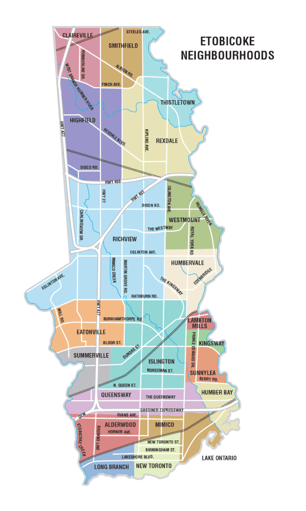
The station is technically in Richview according to that map but Richview also covers the Islington and Kipling stations.
This neighbourhood pocket is often referred to as Royal York Gardens but I was wondering if Humber Heights or Westmount (both on the east side of Royal York) would be used to name this station.
W. K. Lis
Superstar
FYI. Doug Ford sold his old place near Kipling & Eglinton and moved into his late mother's house near Royal York Road, between Lawrence Avenue West and Eglinton Avenue West. He and his family had many of his "Ford Fest" BBQ's there.
Please don't name the Royal York & Eglinton station after him or his family. They already named a park after Doug's father, near that home.
Though they could just put up statues of the Ford family, in tribute.
From link.
Please don't name the Royal York & Eglinton station after him or his family. They already named a park after Doug's father, near that home.
Though they could just put up statues of the Ford family, in tribute.
From link.
Last edited:
ben.thebean1
Active Member
My money is on Humbervale or Westmount for this one, and I'd prefer Humbervale out of the two. Neither are particularly stand-out names but I like to see transit stops directly or indirectly named after natural features and landmarks rather than the road they service, even if it makes it a bit more confusing.
toaster29
Active Member
Am I missing something? The intersection of Royal York and Eglinton - all 4 corners - are clearly in the Humbervale area of that map.The station is technically in Richview according to that map but Richview also covers the Islington and Kipling stations.
This neighbourhood pocket is often referred to as Royal York Gardens but I was wondering if Humber Heights or Westmount (both on the east side of Royal York) would be used to name this station.
The current Royal York Station is also exclusively in the North-east corner of Royal York and Boor, so it also wouldn't be in the Richview area of that map. Keep Royal York station as is, and change "Royal York North" to "Humbervale" "Humber Valley" or "Humber Heights".
SixPoints
Active Member
My apologies. I should have taken off my glasses and looked closer at that map.Am I missing something? The intersection of Royal York and Eglinton - all 4 corners - are clearly in the Humbervale area of that map.
The current Royal York Station is also exclusively in the North-east corner of Royal York and Boor, so it also wouldn't be in the Richview area of that map. Keep Royal York station as is, and change "Royal York North" to "Humbervale" "Humber Valley" or "Humber Heights".
Most of the maps I've seen extend Richview east to Royal York but I believe the above map more accurately depicts how the community views the area.
I agree that 'Royal York North' is an uninspired choice.
That map reflects OLD names for the the area. There is a Humbervale United Church up there, but AFAIK no-one calls that area Humbervale now, it's called Westmount mostly. Besides, there's a Humbervale Boulevard in Sunnylea, and. Humbervale Park Baptist Church in that area too, south of Bloor, so the name Humbervale would invite confusion.
42
42
W. K. Lis
Superstar
From How TTC subway stations got their atypical names at this link.

From link.
From link.
St. George Station was named after St. George Street, not the ward.
St. Andrew
Faced with the problem of having two stations on the same street within a very short distance, the TTC opted to name the stations on University line after former city electoral wards. At the time of its abolition in 1901, St. Andrew's Ward was bound by King and Queen in the north/south and Yonge and Dufferin streets in the east/west.
St Andrew’s Ward—An OverviewNow that St Andrew’s Ward is completely transcribed, it is time for some statistics. The whole ward comprised 6,268 people and there were 1160 schedules filled in. On average, then, each household contained 5 or 6 people.
St. Patrick
There was a time when the TTC seriously considered changing the name of St. Patrick to Art Gallery, in reference to the nearby AGO. The name in use today is a nod the former St. Patrick's Ward, a division of the city bound by Bloor, Bathurst, University, and Queen. The mint green platform tile is a reference to St. Patrick, the patron saint of Ireland.
From link.
From link.
St. George Station was named after St. George Street, not the ward.
Last edited:
toaster29
Active Member
Maybe not Humbervale, but Humber Valley (which I presume is where the name Humber-vale comes from, or vice versa) continues to be used for this area quite regularly (for Everything South of Eglinton anyway, maybe not North of it). I know this area well (south of Eglinton) and never heard it referred to as Westmount. Mostly just Humber Valley or Humber Heights.
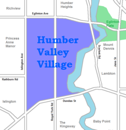
Westmount only for part of the area north of Eglinton, not south. Humber Heights does get kicked around up there too, yup.Maybe not Humbervale, but Humber Valley (which I presume is where the name Humber-vale comes from, or vice versa) continues to be used for this area quite regularly (for Everything South of Eglinton anyway, maybe not North of it). I know this area well (south of Eglinton) and never heard it referred to as Westmount. Mostly just Humber Valley or Humber Heights.
42
SaugeenJunction
Senior Member
New rendering:
