Allandale25
Senior Member

Public Information Centre Meeting - West Don River in E.T. Seton Park Major Maintenance Project - Toronto and Region Conservation Authority (TRCA)
Toronto and Region Conservation Authority (TRCA) is hosting an online Public Information Centre (PIC) meeting for the West Don River in E.T. Seton Park
 trca.ca
Event coming up: TRCA will host an online Public Information Centre (PIC) meeting on Thursday, February 25 at 6:00 PM.
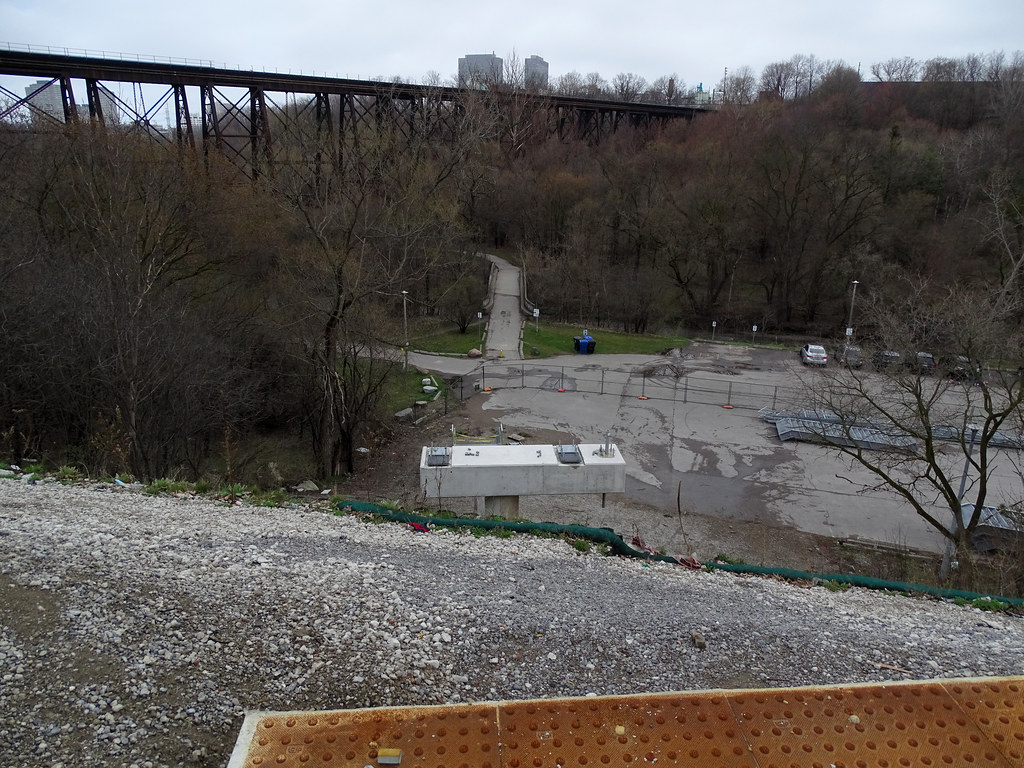
Project Location
The project is located southwest of the intersection of Eglinton Avenue East and Don Mills Road, in the City of Toronto. The project area is along a section of the West Don River that flows through the Ernest Thompson Seton Park. There are three clusters of erosion hazards sites within the project area (see map below).