SRC Admin
Administrator
Boston | Copley Place Residential Tower


I noticed the update! Glad to inspire.Thanks for the details, @Hub ! It inspired our front page story about this project!
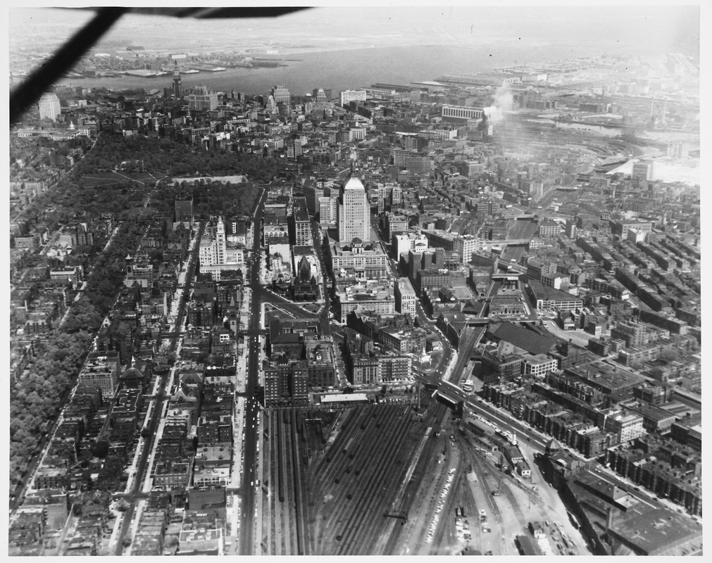
Also, for context, here is the site before construction started:
View attachment 68036
Interstate 90 is right underneath. I'm curious to see more pictures of the site as they dig down.