Mustapha
Senior Member
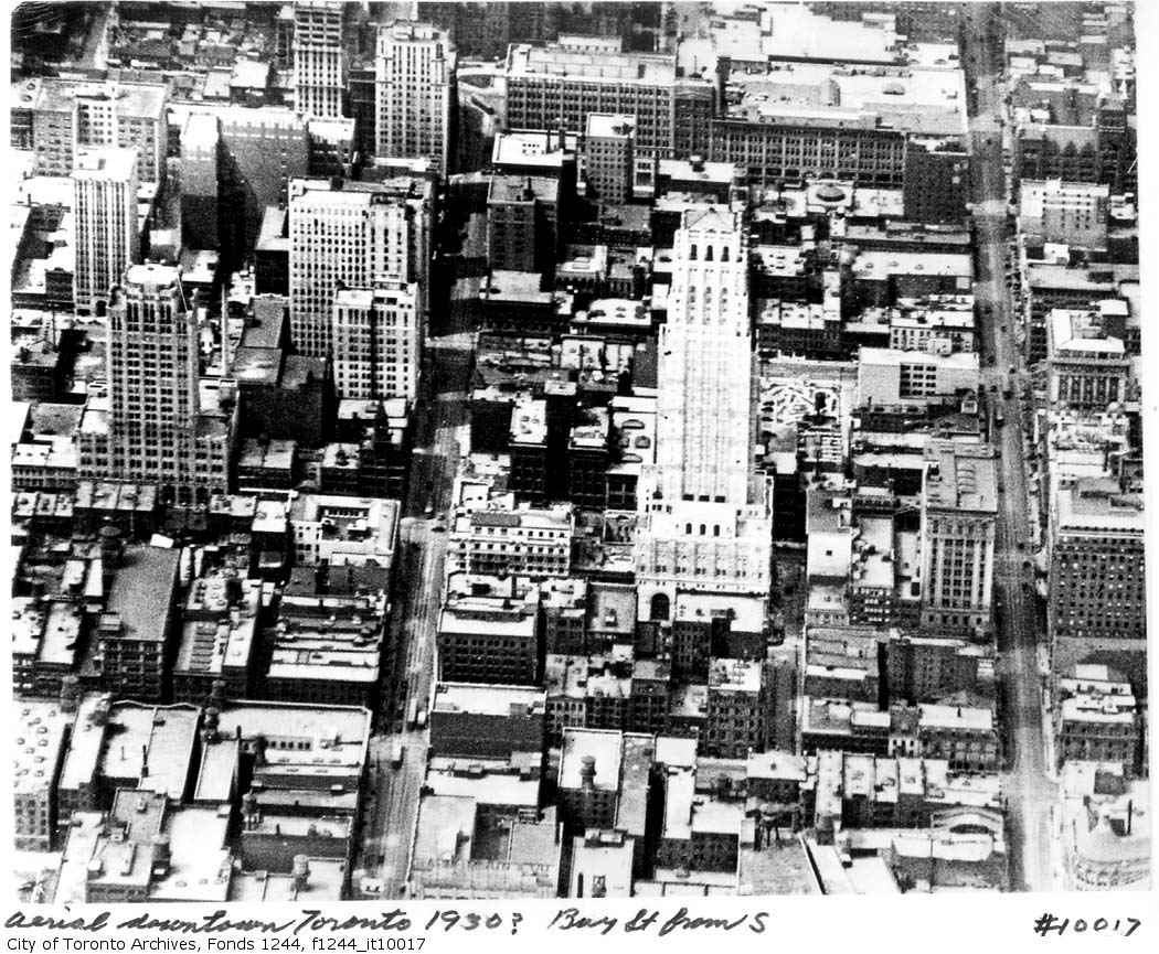
thecharioteer, those aerial pictures are always a favourite of mine.
Also interesting that your Goads maps show that there was a public school at the NW corner of York and Richmond at one time. Never knew that; have never come across a picture of it either.
March 12 addition.
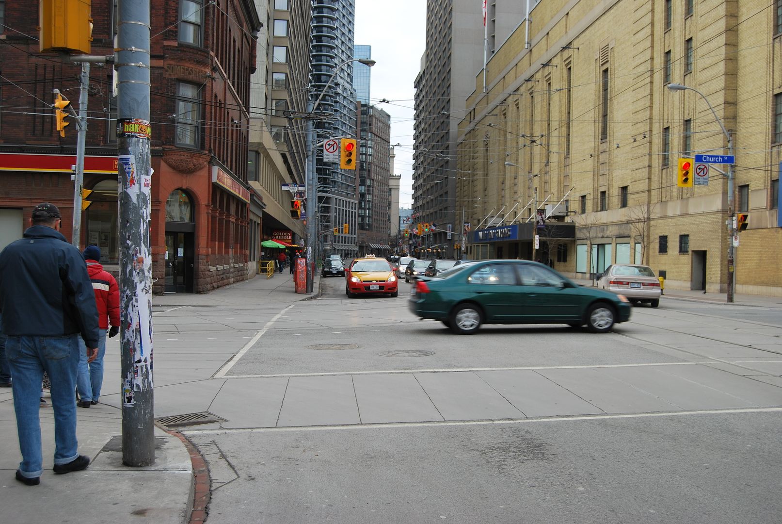
I'm a bit mystified by this one. The Archival citation: "Fonds 200, Series 372, Subseries 3, Item 147 Title Ryerson Avenue north of Queen
Date(s) of creation of record(s) May 8, 1914."
Then:
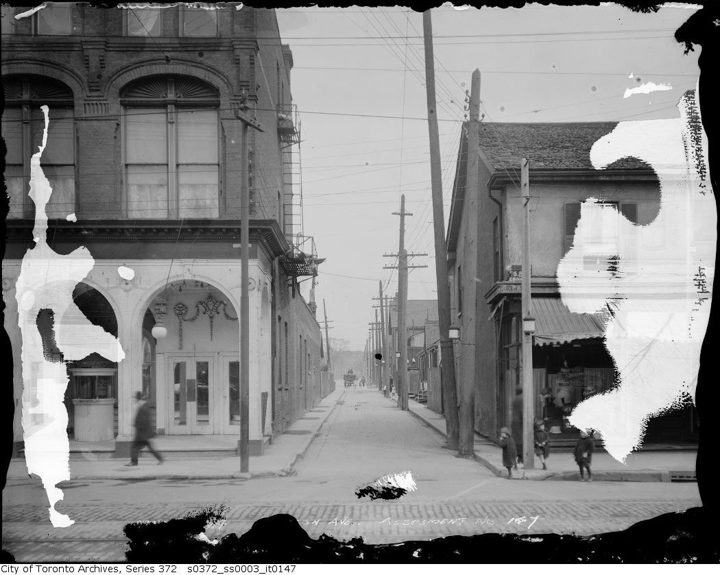
Now:
This can't be right? The "Then" picture shows a lane. The "Now" picture shows a full width street. The frame building on the right looks to be the same in both pictures but could just be a coincidence?
.
Also interesting that your Goads maps show that there was a public school at the NW corner of York and Richmond at one time. Never knew that; have never come across a picture of it either.
March 12 addition.
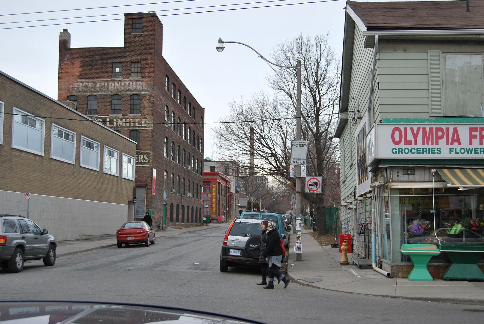
I'm a bit mystified by this one. The Archival citation: "Fonds 200, Series 372, Subseries 3, Item 147 Title Ryerson Avenue north of Queen
Date(s) of creation of record(s) May 8, 1914."
Then:
Now:
This can't be right? The "Then" picture shows a lane. The "Now" picture shows a full width street. The frame building on the right looks to be the same in both pictures but could just be a coincidence?
.


") Bravo. They should mount this on a plaque near the intersection of Queen and University.
Bravo. They should mount this on a plaque near the intersection of Queen and University.