You are using an out of date browser. It may not display this or other websites correctly.
You should upgrade or use an alternative browser.
You should upgrade or use an alternative browser.
evandyk
Senior Member
I put this video in my team's chat at work today, to a bunch of people who are not urban geeks like we all are, and it spurred quite a conversation!
rdaner
Senior Member
jxmith_
Active Member
kotsy
Senior Member
Your best bet is to upload to Flickr and then embed the pictures on the posts here. However, I'm not sure how many photos you can upload on a free account.I asked somewhere else but never got an answer.... does anyone know what's the best way to upload to this site to ensure the best resolution possible?
I have these gorgeous hi-res photos but as soon as I upload them they're small and lower res.
Any tricks to optimize the quality? Or c'est la vie with free hosting on this site?
Looking to upload another batch now...
hawc
Senior Member
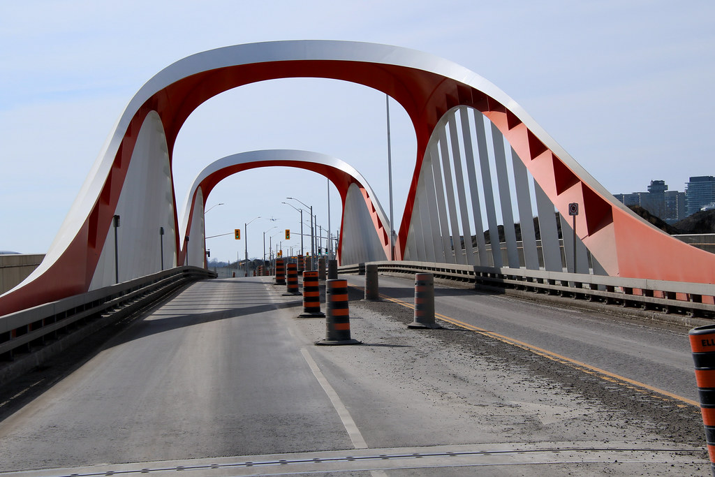
Drum118's bridge shot.

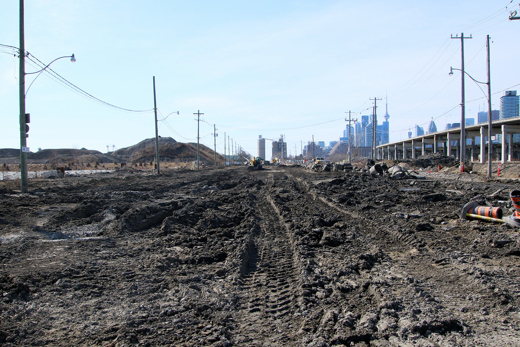
There used to be roads here. Looking down at Don Road and Villiers.

There used to be roads here. Looking down at Don Road and Villiers.
Last edited:
rdaner
Senior Member
You are the Burtynsky of The Portlands! Lol
DSC
Superstar
I find it 'interesting' that Google Maps have removed the old Cherry Street bridge over the Keating Channel but continue to show Villiers Street linking to Saulter St. It has already been closed west of the Don Roadway (and the new Don River). I assume they will add the new course of the Don soon but .....

Last edited:
UrbanAffair
Senior Member
I have a drone as well and could contribute to some photos/video, but I was not aware that we could (legally) fly over the Portlands given the flight paths coming in to Billy Bishop?
In fact my understanding was nothing over 150m in Toronto was allowed. Is this not the case?
In fact my understanding was nothing over 150m in Toronto was allowed. Is this not the case?
drum118
Superstar
Feb 25
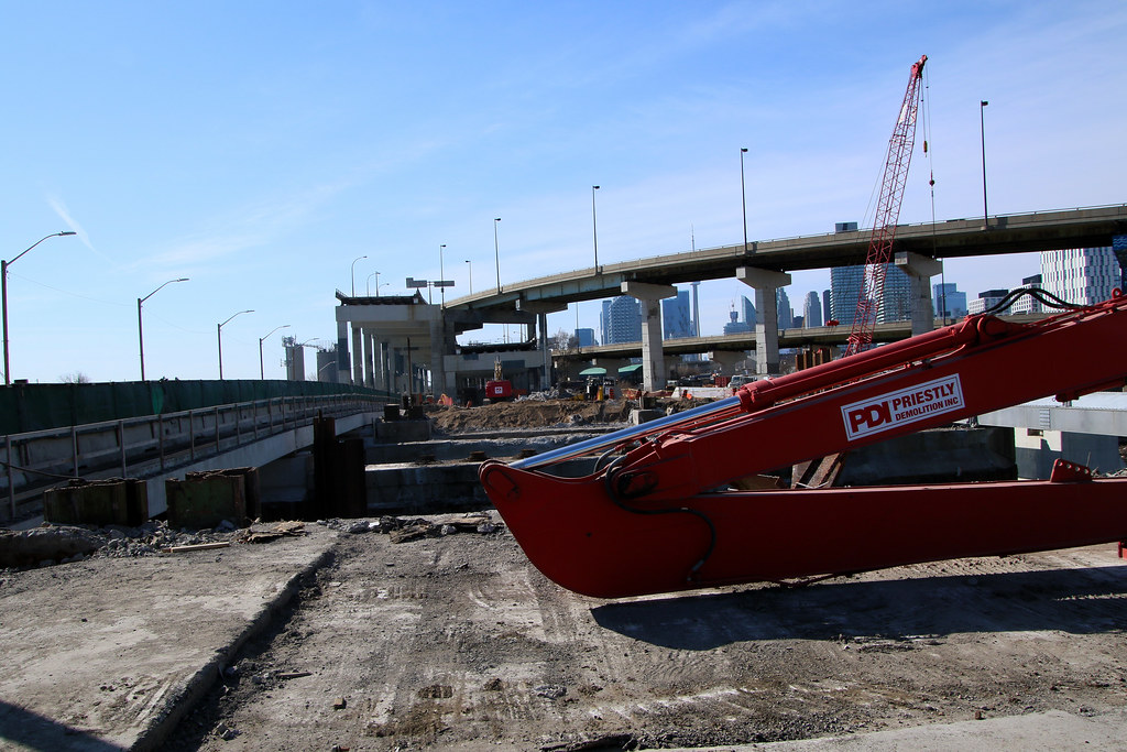
Between lack of time, being lazy and rethinking my tagging for the area, I just uploaded today the first batch of the 500 shots I took that day.
I will be posting several times as they pertain to different things that haven't been posted as far along with what I have uploaded so far. A few shots will be the last time they can be shot from that location with some having to wait until the Don Roadway is open.
Lake Shore
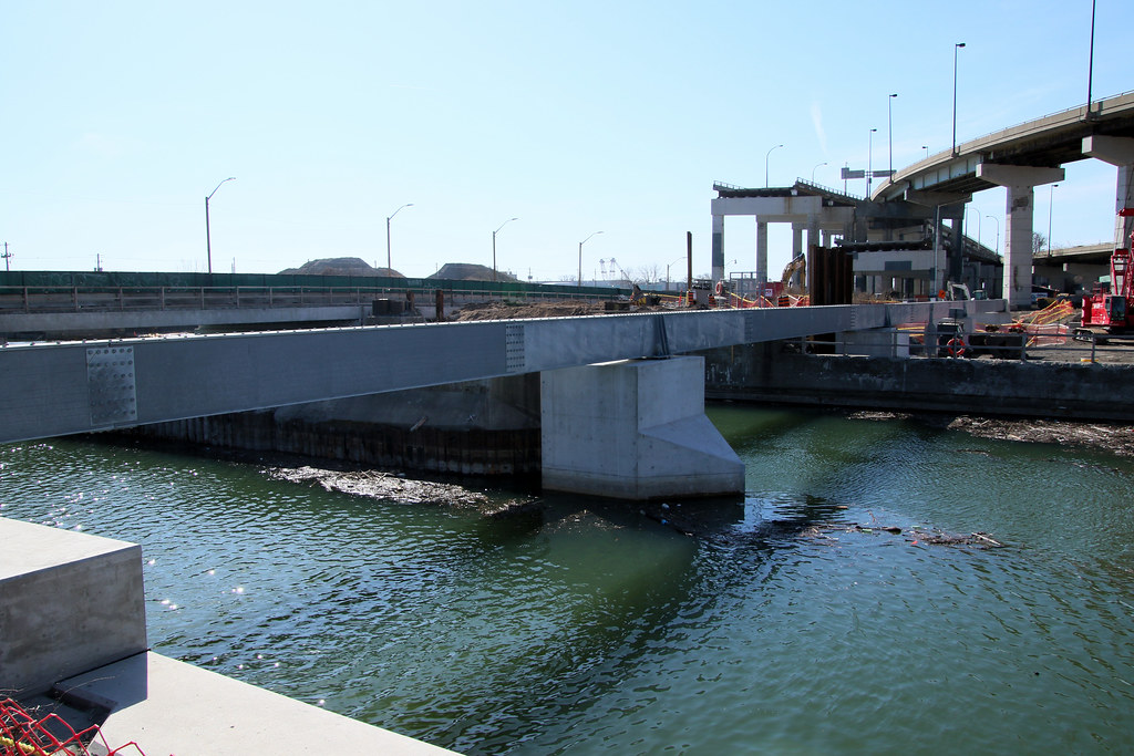
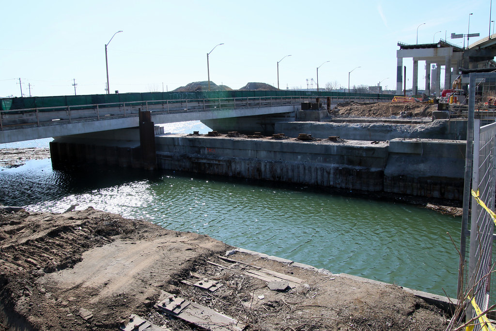
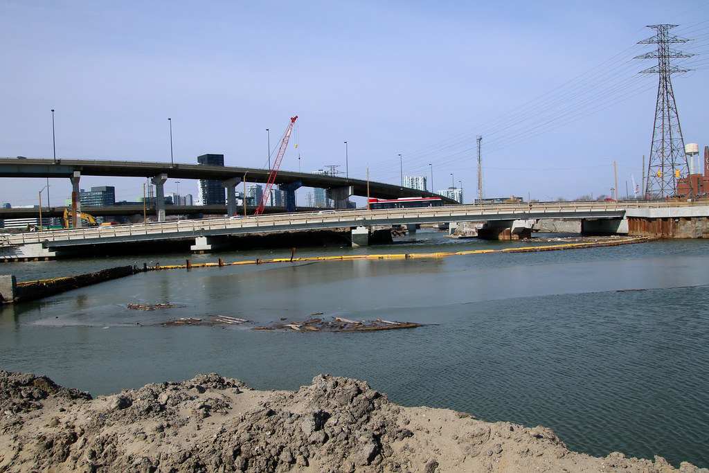
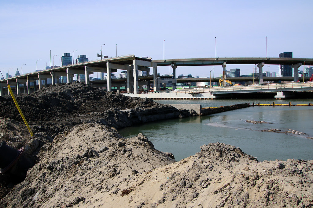
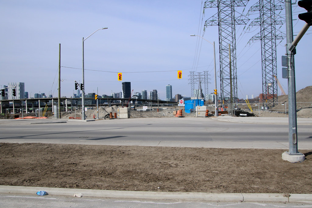
@hawc photo above shows how wide the New Mouth of the Don as well how much of the old westbound road that must be removed to allow new piers to be built for the new bridges. The west pier for the duct bridge shows where the west piers will be for the new bridges.
So much for Villiers Road
Between lack of time, being lazy and rethinking my tagging for the area, I just uploaded today the first batch of the 500 shots I took that day.
I will be posting several times as they pertain to different things that haven't been posted as far along with what I have uploaded so far. A few shots will be the last time they can be shot from that location with some having to wait until the Don Roadway is open.
Lake Shore
@hawc photo above shows how wide the New Mouth of the Don as well how much of the old westbound road that must be removed to allow new piers to be built for the new bridges. The west pier for the duct bridge shows where the west piers will be for the new bridges.
Can see how long the new Lake Shore Bridges will be as well how much earth has been removed on the south side of Keating Channel for the Mouth of The Don.
So much for Villiers Road
Aplus23
Active Member
So how many enterneces are there gonna be to villers island for vehicle access when it's all said & done ?
drum118
Superstar
Feb 25
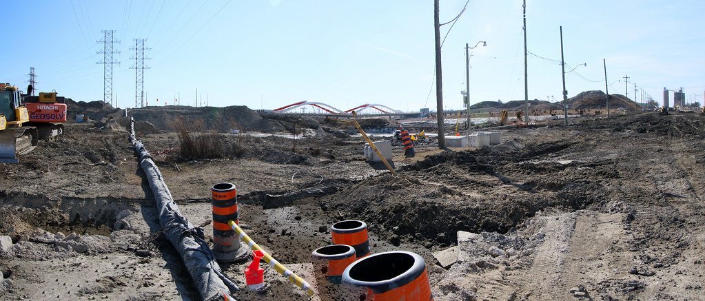
With Villiers road close now, they can start to elevate the Don Roadway to meet the new elation of Commissioner St
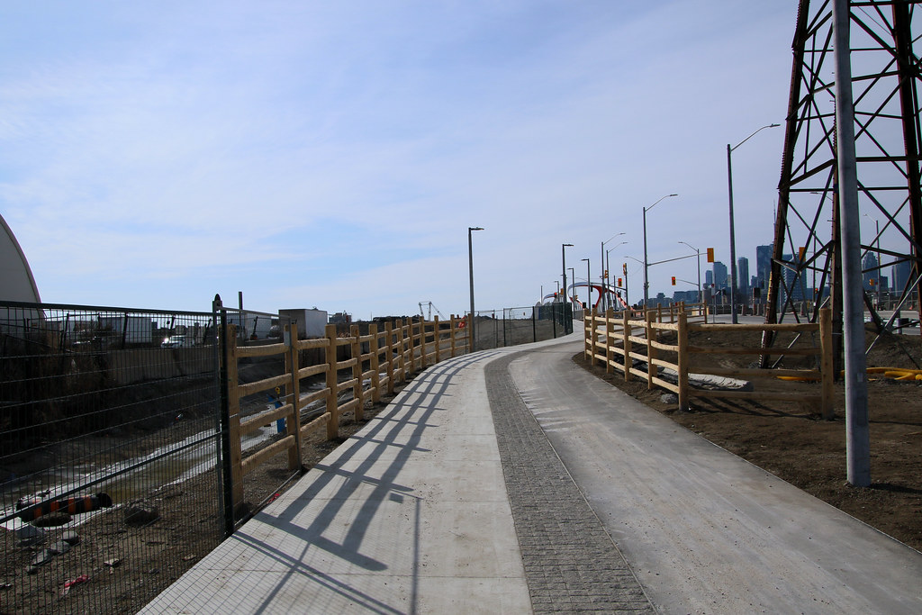
I guess Hydro want wood for fencing in place of metal

With Villiers road close now, they can start to elevate the Don Roadway to meet the new elation of Commissioner St
I guess Hydro want wood for fencing in place of metal
DKsan
Active Member
Three. Cherry Street North, Cherry Street South, and Commissioners.So how many enterneces are there gonna be to villers island for vehicle access when it's all said & done ?
dowlingm
Senior Member
@kotsy clued the community in a few pages backI have a drone as well and could contribute to some photos/video, but I was not aware that we could (legally) fly over the Portlands given the flight paths coming in to Billy Bishop?
In fact my understanding was nothing over 150m in Toronto was allowed. Is this not the cas
'
https://urbantoronto.ca/forum/threa...ment-m-s-waterfront-toronto.3363/post-2043866
hawc
Senior Member
New Waterfront Toronto video just posted on their channel.
This was interesting. How it's designed to handle a big flooding event.
Normal

Super Flood

This was interesting. How it's designed to handle a big flooding event.
Normal
Super Flood