Boston | Copley Place Residential Tower
You are using an out of date browser. It may not display this or other websites correctly.
You should upgrade or use an alternative browser.
You should upgrade or use an alternative browser.
- Thread starter SRC Admin
- Start date
Hub
New Member
A refresher on what will surely be a beautiful tower for Boston (renderings via the Boston Globe):


Behind-the-scenes foundation work is underway- this tower is over a highway on an air rights parcel and construction/prep work will take longer than usual for a tower of this size as a result.


Behind-the-scenes foundation work is underway- this tower is over a highway on an air rights parcel and construction/prep work will take longer than usual for a tower of this size as a result.
Froggy
Active Member
Thanks for the details, @Hub ! It inspired our front page story about this project!
Also, for context, here is the site before construction started:

Interstate 90 is right underneath. I'm curious to see more pictures of the site as they dig down.
Also, for context, here is the site before construction started:
Interstate 90 is right underneath. I'm curious to see more pictures of the site as they dig down.
Attachments
Hub
New Member
I noticed the update! Glad to inspire.Thanks for the details, @Hub ! It inspired our front page story about this project!
Also, for context, here is the site before construction started:
View attachment 68036
Interstate 90 is right underneath. I'm curious to see more pictures of the site as they dig down.
I, too, am curious to see when/if/how they excavate for this project.
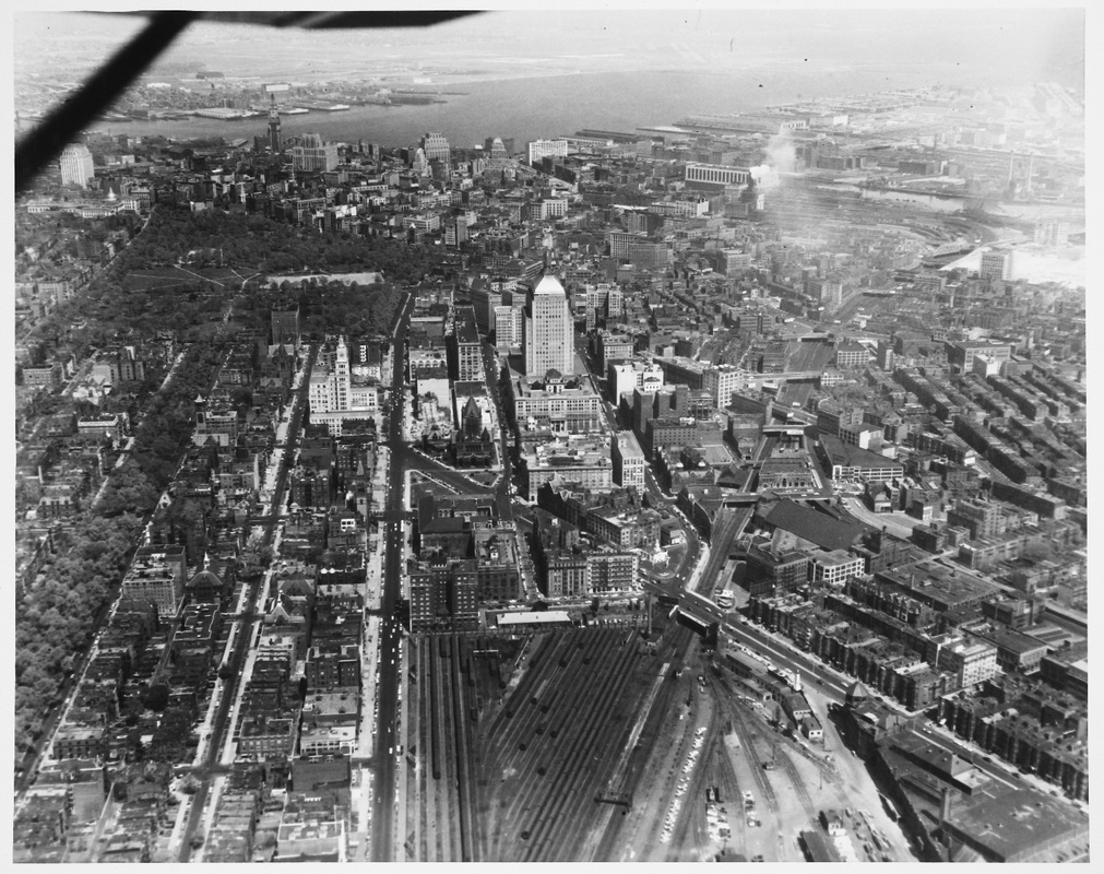
I'm going to add a bit of historical context: as messy of a pedestrian environment Copley Place is now, it actually used to be nonexistent:
1957: No Mass Pike or Prudential Center (site is near the top right corner of the railyards)

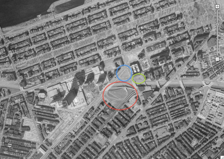
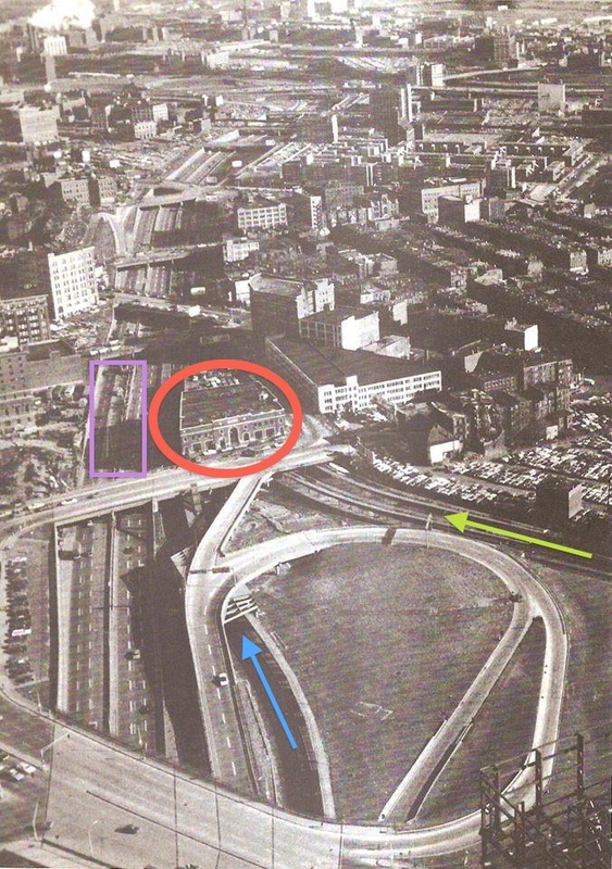
1960s: Mass Pike Construction creates highway ramps and destroys the old urban fabric (circled in red below)

Bottom right of image here:

And the ramps were covered in the 1980s by Copley Place (still the last major air rights development in Boston)

Those historic images above are from bostonstreetcars.com, an immensely useful historical site. Check it out!
Sprngh2o
New Member
Any clue as to when this will start to rise?
