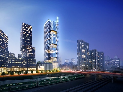
The first plan, developed in the early 1970s and called Metro Centre, would have replaced Union Station and created a modernist multi-levelled, high-density office and residential development. Of this vision, only the CN Tower was built. The second plan, developed in collaboration with the City of Toronto in the 1980s, proposed a pattern of streets, blocks, and parks reconnecting the city to its waterfront, on which high-density office (generally in the east) and residential development (generally in the west) would occur. Of this vision, the Skydome, Railway Lands Park (and convention centre expansion), Bremner Boulevard, and parts of the street plan east of Spadina Avenue, were built in the late 1980s and early 1990s. A third plan, essentially an enhanced version of the second plan, was completed in the early 1990s, and it imposed greater certainty on the form of development.
In the mid-1990s, Canada Lands (successor to CN) sold its lands to Concord Adex. Concord Adex sought permission to develop a fourth plan for the area west of the Skydome, based on the residential building typologies (low-rise buildings and point-towers) that it had successfully used on the Expo lands in Vancouver. After negotiations between the City and the developer, and a series of public meetings, a new plan was developed and approved in late 1998, which would create a pattern of streets, blocks, and parks, framed by street-related buildings, generally four to six storeys in height, punctuated in appropriate locations by residential point-towers. These changes were not without controversy, especially over matters of building height.


