If you think this is overdense, having a GO station on site, what do you think of the Colossus redevelopment, which is apparently higher density: I heard 1700 people + jobs per hectare quoted in the DRP posted today.
The Downsview development will be a whooping 40,000/sq km. Nothing like Toronto has seen.

Also, what will be the density of the christie site? I haven't been able to find it anywhere.
 
Here's a good start to start plucking some information:

Toronto's density as of 2018 was around 4,457 people per square kilometre. Humber Bay had around 11,400 people living there based off the 2016 census, St.James Town had around 18,000. Depending on which numbers you look at (development wise on the number of buildings/units proposed) which to be honest i'm lazy to calculate right now, Humber Bay is expected to add another 10,000 residents. St.James Town is fairly close to being maxed out at this point.

St.James Town has a population density of 44,000+ sq.km as of 2016. It has an area of about 0.22km.sq:

Humber Bay is trickier to calculate since most figures lump in Mimico which is generally much lower density, rough 5,000sq.km as of 2016. As I note, these numbers are severely underestimated, however Humber Bay has an area of about 0.60km.sq (area bounded south of the Gardiner, east of Mimico creek, west of Humber Bay river):


Based on the heat map below, Humber Bay had a 110% increase in population from 2011-2016, St.James town when you add it's areas together about ~5-6%. Humber Bay I circled in red, St.James Town in Blue:
View attachment 356707

So based on all those numbers, it becomes pretty evident to see where Humber Bay is, and where it's heading.
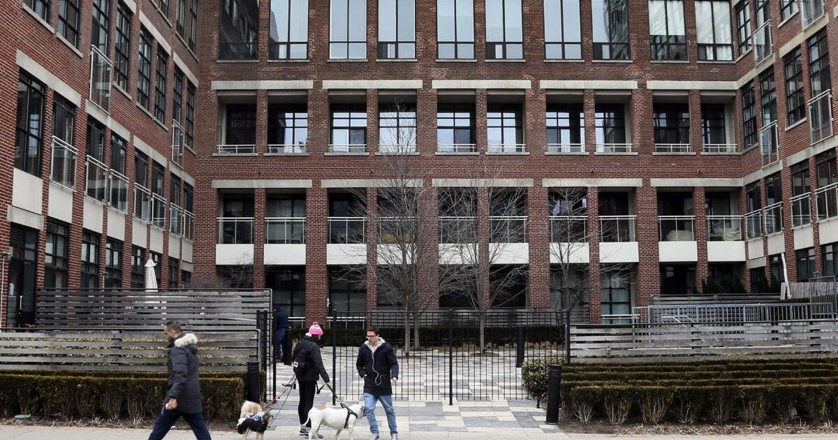
I really like this reply from @Amare when it comes to density in HBS.

Maybe we can start a new thread for the most dense future neighborhoods in GTA.
 
I’m really excited about this developer. To a naive outsider, it seems like First Capital has put in a lot of thought on how to design and build out this neighborhood - far more so than other masterplans I’ve seen here.

What I am worried about is the city’s commitment to transit in the area. There’s supposed to be a streetcar loop correct? I lost track of when that’s supposed to be built, and I don’t think funding has been committed, correct? I’ll go trawling for info and will update this post when I find out.

Let me save you some trawling........


Final version of the Park Lawn/Lake Shore Transportation Management Plan will head to Council this spring, it will be on the agenda for one of the remaining 2 Infrastructure and Environment Ctte meetings.
 
Let me save you some trawling........


Final version of the Park Lawn/Lake Shore Transportation Management Plan will head to Council this spring, it will be on the agenda for one of the remaining 2 Infrastructure and Environment Ctte meetings.
For the Rip Van Winkles among us...


From link. Dated December 17, 2021... (projecting to 2041)

1645481778555-png.381233

Compare with the first streetcar route (Yonge) in 1861. From link.
On July 22, 1861, Toronto City Council grants this group, now known as the Toronto Street Railway Company (with Easton as its president), a thirty-year franchise to build and operate street railways within Toronto’s city limits. With a crew of around 200 workmen, the TSR started work laying down tracks from St. Lawrence Market and moving west along King and north on Yonge to Yorkville Town Hall (located at today’s Scollard and Yonge). Work progressed quickly, and opening ceremonies were held on September 10. The route opened to the public the next day, as the first street railway line to operate in Canada.
Took them less than THREE MONTHS to approve, construct, and open, back in the 19th century. Today in the 21st century, it'll likely take TWO DECADES, because of the usual delays.
 
If this city really wants to use go as rapid transit, than we would need stations at Swansea and Roncesvalles, while doing 5min or better.

However, I would prefer for Ontario line to go to the new Park Lawn station, but that might be just wishful thinking...
 
Took them less than THREE MONTHS to approve, construct, and open, back in the 19th century. Today in the 21st century, it'll likely take TWO DECADES, because of the usual delays.
False equivalency because health and safety, environment and labour regulations couldn't be more different. But yes, political wrangling and bureaucratic inertia are a major problem.
 
The Downsview development will be a whooping 40,000/sq km. Nothing like Toronto has seen.

Also, what will be the density of the christie site? I haven't been able to find it anywhere.
The OPA is for 7500 units on 11.2 hectares, which is around 1140 residents/hectare at 1.7 residents per unit. They also include 63k sqm of commercial and 36k sqm of retail. Not sure how many jobs that translates to. At 250 sqft per employee for commercial that's 2700 jobs. The retail component is maybe another 800 jobs. That would bring estimated density of 1450 people + jobs per hectare.
 
Of course the proposed new-south street is 20+ years out, typical City of Toronto garbage stalling with everything. Actually it wont surprise me if that portion dies just like the Front Street Extension did.

And did I seriously just read they are considering making the relief road (Street A) 2 lanes, instead of 4? Then on top of that, they are looking to narrow Park Lawn down from 4 lanes to 2 lanes? I think Toronto Transportation Services needs to go out and properly do their jobs, because clearly they dont know the sheer density this development is bringing to the table.
 
Of course the proposed new-south street is 20+ years out, typical City of Toronto garbage stalling with everything. Actually it wont surprise me if that portion dies just like the Front Street Extension did.

And did I seriously just read they are considering making the relief road (Street A) 2 lanes, instead of 4? Then on top of that, they are looking to narrow Park Lawn down from 4 lanes to 2 lanes? I think Toronto Transportation Services needs to go out and properly due their jobs, because clearly they dont know the sheer density this development is bringing to the table.
the Park Lawn reduction to 2 lanes is nuts. The whole point of this study was to improve traffic in the area, and the combined actions seem like they will actually just make it worse over the status quo.
 
the Park Lawn reduction to 2 lanes is nuts. The whole point of this study was to improve traffic in the area, and the combined actions seem like they will actually just make it worse over the status quo.
There will still be turn lanes and cycling lanes and WIDER sidewalks. Hopefully the corner radii will not be w-i-d-e, but tighter to slow the motor vehicles down to a safer speed.

curbradius.jpg
From link.
 
Last edited:
For the Rip Van Winkles among us...


From link. Dated December 17, 2021... (projecting to 2041)

1645481778555-png.381233

Compare with the first streetcar route (Yonge) in 1861. From link.

Took them less than THREE MONTHS to approve, construct, and open, back in the 19th century. Today in the 21st century, it'll likely take TWO DECADES, because of the usual delays.

So does this mean the GO station is ear marked for the 10 year time frame?
 

Back
Top