ProjectEnd
Superstar
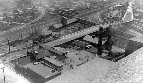
It's currently an E / Employment parcel so immediately you're into an OPA 231 challenge. Not sure if the houses / R / Neighbourhoods designation right on Old Weston could force an OPA 320 challenge, but that's possible too. The site is outside of OPA 84, but I would imagine things like the NRT emissions plume would still apply here. I have a map of affected areas for that but can't remember where it is at the moment. It's also tight up into the rail corridor so the 25m setback will be challenging to accommodate.
It's going to be a long and difficult ride for these folks.
It's going to be a long and difficult ride for these folks.