Shots from yesterday.
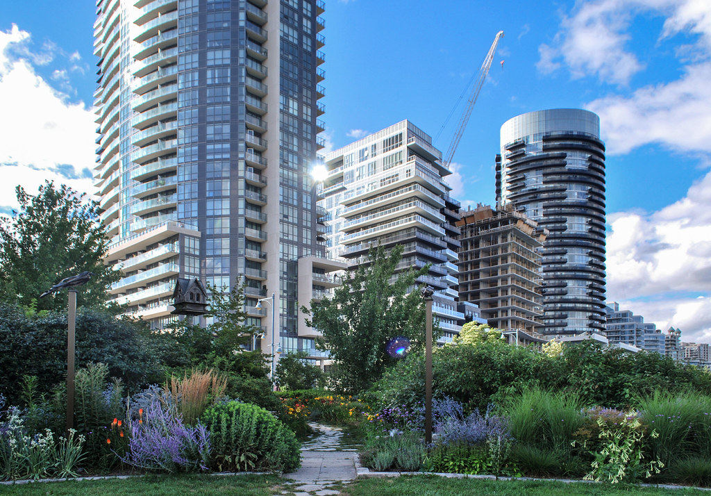
This first couple are from The Marginal Blvd.*, the new street which runs from Lake Shore down to Marine Parade between the Nautilus and Waterscapes sites on one side, and the Conservatory Group's land on this side.


The shot above gives you a look at the edge of the parking garage for the Coservatory Group's next phase here (Water's Edge), which has been built underneath where Annie Craig Drive will run to serve residents of The Cove.
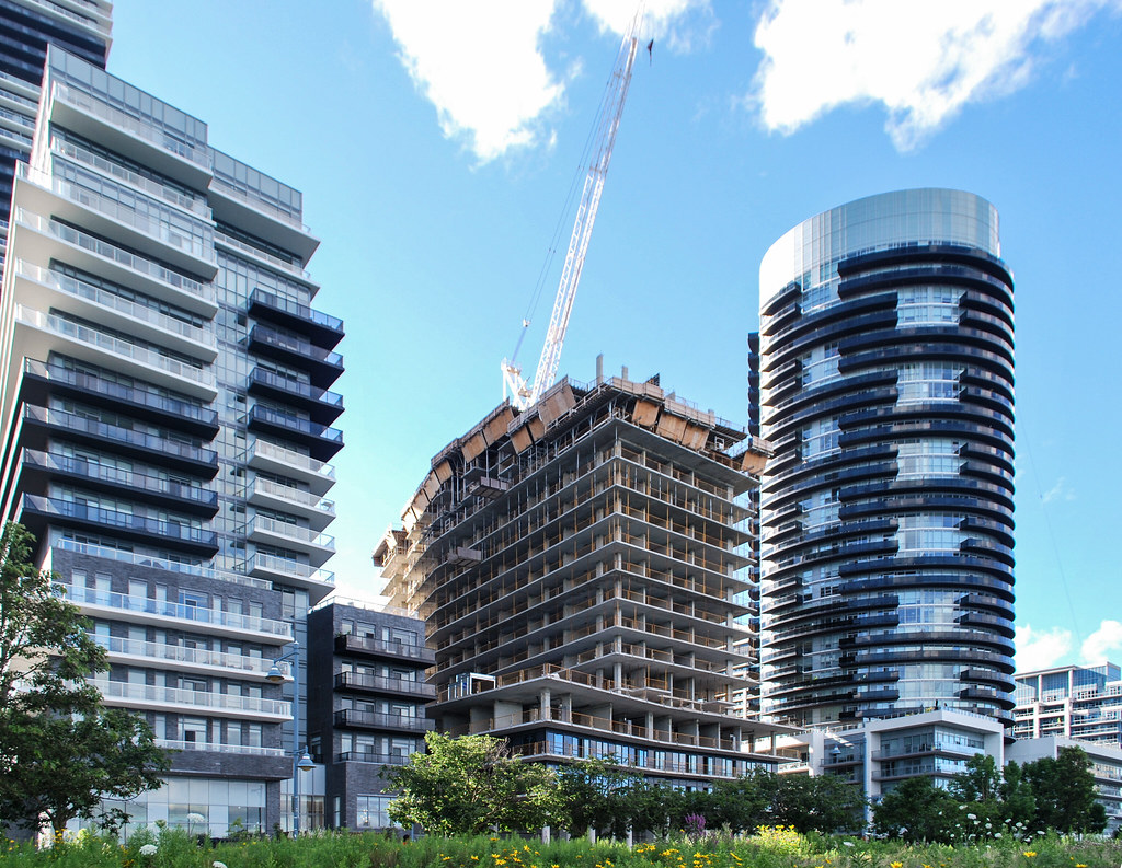
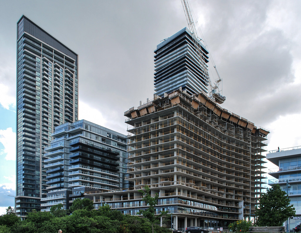
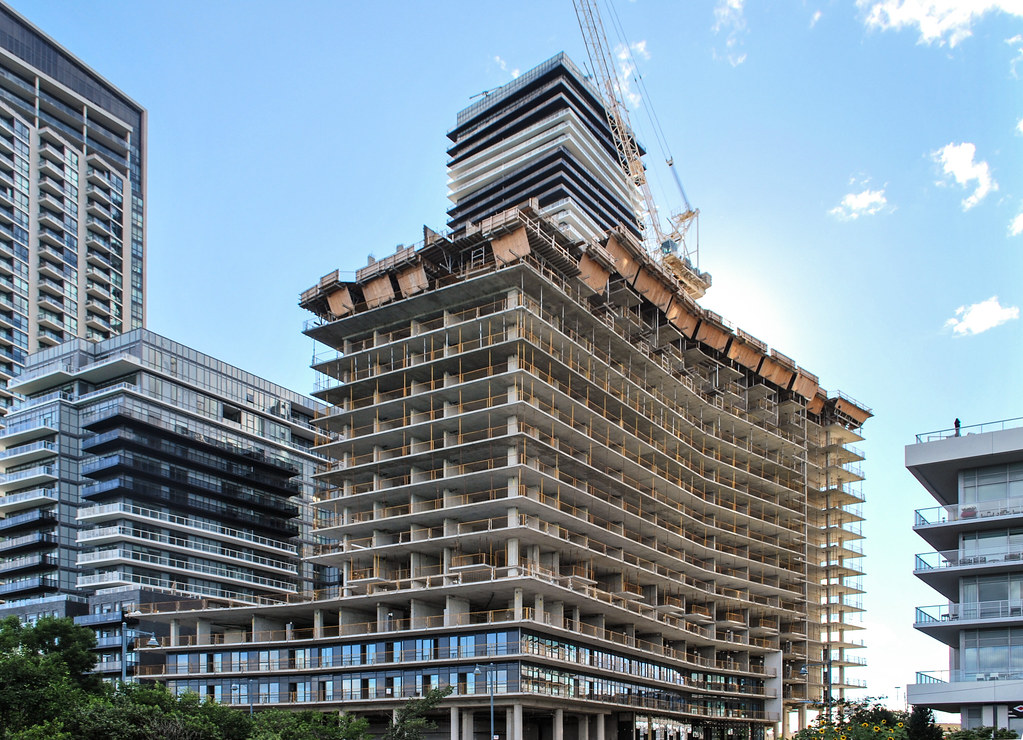
Below, we're down on Marine Parade looking southwest…

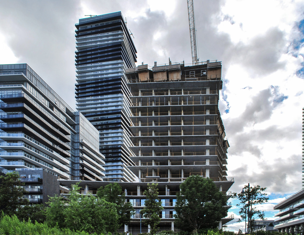
… while below we're looking northwest. In between this building and Riva del Lago, a concrete stairway has been built to bring people down from ground level where the driveway is to lakefront ground level.

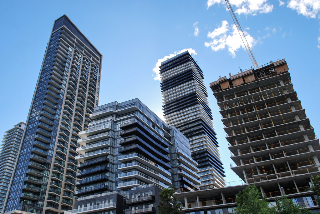
The last two shots below are from Annie Craig Drive between Lago and Riva del Lago. In them you can see that The Cove is chevron-shaped (parallel to The Marginal Blvd.) and L shaped where it hits Marine Parade.


* The rather odd name for this new street is a historical reference. To quote the by-law which established it: In 1921 work began on "The Marginal Boulevard" which was to make a complete loop around the City and extend along the waterfront. This section along the waterfront became Lake Shore Boulevard West.
42
This first couple are from The Marginal Blvd.*, the new street which runs from Lake Shore down to Marine Parade between the Nautilus and Waterscapes sites on one side, and the Conservatory Group's land on this side.
The shot above gives you a look at the edge of the parking garage for the Coservatory Group's next phase here (Water's Edge), which has been built underneath where Annie Craig Drive will run to serve residents of The Cove.
Below, we're down on Marine Parade looking southwest…
… while below we're looking northwest. In between this building and Riva del Lago, a concrete stairway has been built to bring people down from ground level where the driveway is to lakefront ground level.
The last two shots below are from Annie Craig Drive between Lago and Riva del Lago. In them you can see that The Cove is chevron-shaped (parallel to The Marginal Blvd.) and L shaped where it hits Marine Parade.
* The rather odd name for this new street is a historical reference. To quote the by-law which established it: In 1921 work began on "The Marginal Boulevard" which was to make a complete loop around the City and extend along the waterfront. This section along the waterfront became Lake Shore Boulevard West.
42


 Cove at Waterways
 Cove at Waterways
 Cove at Waterways
 Cove at Waterways
 Cove at Waterways
 Cove at Waterways

