It might not matter much whether Mississauga or Brampton is getting more grade separation; what matters is that we shouldn't try to build every transit line to the lowest specs to cut the costs. In some cases, more advanced features will make the line more appealing and the whole transit cause stronger.

Moreover, in many cases the money saved building to maximize cost/benefit is often not worth the opportunity cost of the political fight it causes.
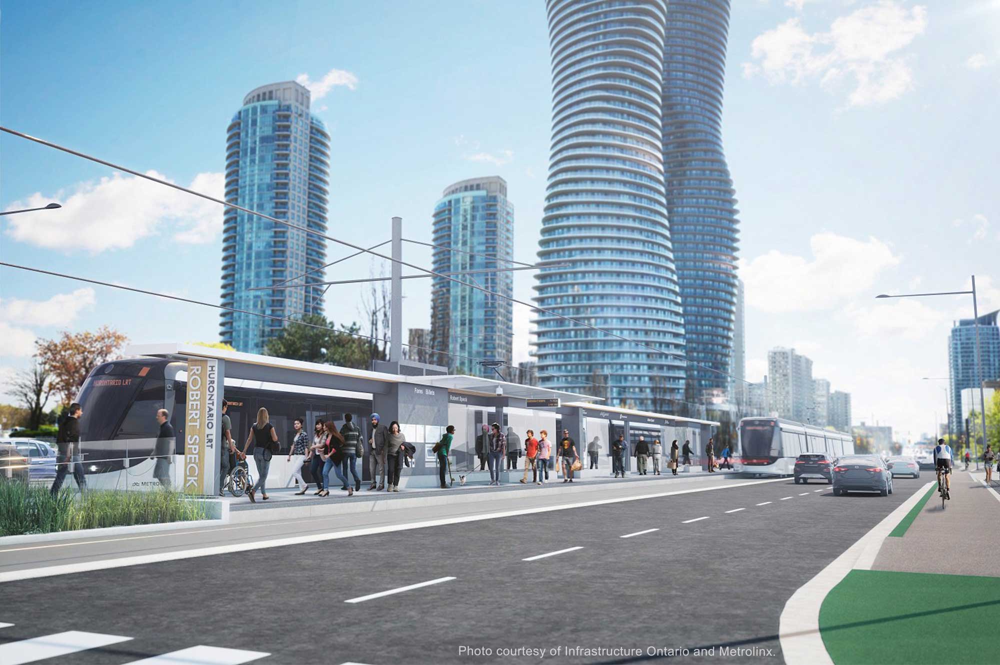
 
To my knowledge the section south of the QEW to Port Credit GO is supposed to be underground as well. And then there's the elevated guide way proposed for the Square One area, so overall Mississauga's segment of the LRT is getting more grade separation than Brampton's.

it's going to be 2 lanes for cars, 2 lanes for the LRT and a multi use trail south of QEW. And as for the city centre, metrolinx decided that doing an elevated portion was better than the loop to somehow save money when the city was planning to build a loop with only an elevated section to cross the 403.

From a transit perspective, they should have just killed the separate crossing all together and build it on Hurontario and keep the loop but of course we can't do that, who asked the city what they wanted, because it wasn't metrolinx
 
Last edited:
The city's version would have screwed with vehicle traffic too much - that interchange is extremely busy and the reduction to 4 lanes of car traffic is already going to screw with it a lot, introducing extra signal cycles to allow for the LRT to clear intersections would have just piled more on top. Grade separating it improves both vehicle and LRT travel times. It was the right decision.

Now whether it was the right decision to kill the loop, that's another matter..
 
To my knowledge the section south of the QEW to Port Credit GO is supposed to be underground as well. And then there's the elevated guide way proposed for the Square One area, so overall Mississauga's segment of the LRT is getting more grade separation than Brampton's.

There's a significant scale and volume difference between Mississauga City Centre and downtown Brampton. So pointing to one place and saying, they get more grade separation than downtown Brampton, misses the reality of what's on the ground in downtown Brampton.
 
Brampton gets underground then Mississauga freaks out demands underground and nothing gets built. That's a possibility. Everywhere underground

I think a bigger possibility would be if there's indications Brampton may get funding for a tunnel (and of course we don't know if it would be on a 33/33/33 basis or 50/50 provincial/federal), Mississauga may request funding for the loop at the same time rather than underground portions. Financial close will have happened most likely by then which makes change things challenging. Adding things like a loop is easier and Metrolinx's statement at the time of removing the loop (going by memory here) indicated that the line could be future proofed to allow the loop to go back in at some point in the future (and dependent on funding).
 
From one of the companies in the preferred proponent consortium:

 
^ That's approximatelythe route recommended by Brampton staff in 2015. It's being studied again, along with other options, as part of the Addendum.
 
Main is narrow, and McLaughlin and Kennedy are more than 1km away. King Street is narrow as well, but Queen and Front and Richmond/Adelaide are all within 300m distance, so prioritizing streetcar is less of a problem. European city centres likewise have no lack of throughfares.

Downtown Brampton is more like Streetsville, and Main Street is akin to Streetsville's Queen Street: not just the main throughfare, but the only throughfare. Much different situation than King Street or those European examples that keep getting posted here.

One of the biggest flaws of the older suburbs is the lack of throughfares. You can see it in North York and the south parts of Mississauga, and you can see it in this part of Brampton too. The newer suburbs did a much better job with reducing the distance between the throughfares so that bus routes are closer together and the roads don't need to be as wide.

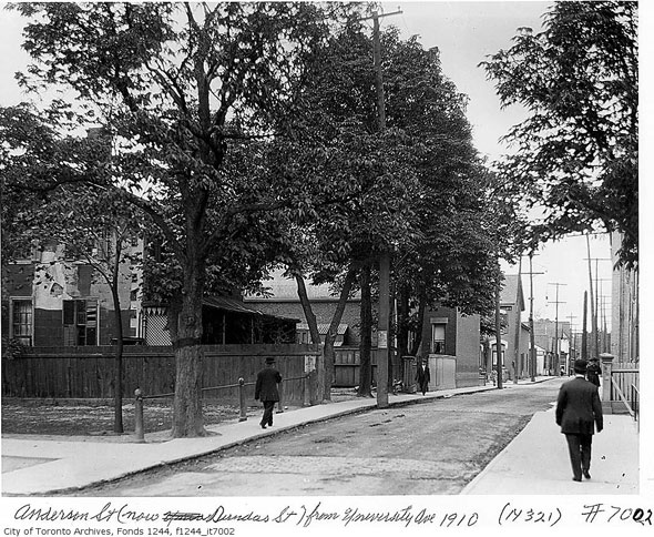
The powers-that-be will not connect the various streets to create a new thoroughfare, due to NIMBY protests that would pop up. The old City of Toronto did that to connect Dundas Street West east of Ossington Avenue all to way to Kingston Road. Dundas Street used to end at Queen Street West, where Ossington Avenue starts today. See link for the background information on Dundas Street.

20120929-Dundas-Anderson.jpg
 
There aren't just NIMBYs that would get in the way of building new roads through existing neighbourhoods, there's also their homes, right?

They probably can extend McMurchy north to Vodden without much trouble. Maybe they should have done it years ago.

Even with extended McMurchy, loop for LRT is still the best option. Two-way LRT on Main pushing car traffic out to the sides of the street beside the sidewalk and the pedestrians would be a step backward. With one-way LRT loop they can have parking and LRT at the sides of the street and traffic remains in the middle.
 
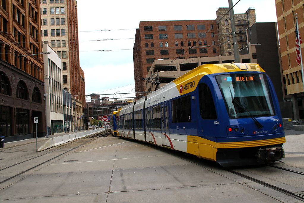
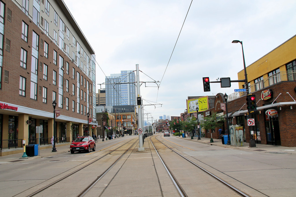
Gee!! I guess the folks in Saint Paul and Minneapolis have no objections that their roads have been turn over to Pedestrians and Transit? The Green Line sees 7-9 minute service for 3 car train, with Minneapolis seeing a 3 car train every 5 minutes or less for the Blue/Green Line.
Saint Paul
48691097408_910d565bbe_b.jpg

48691605022_9c9e692316_b.jpg


Minneapolis
48695724931_89d4c2b0e4_b.jpg

48695727576_ef34f032de_b.jpg


University Area
48691426546_cedde346da_b.jpg

48691089903_f6d762a92a_b.jpg
 

Back
Top