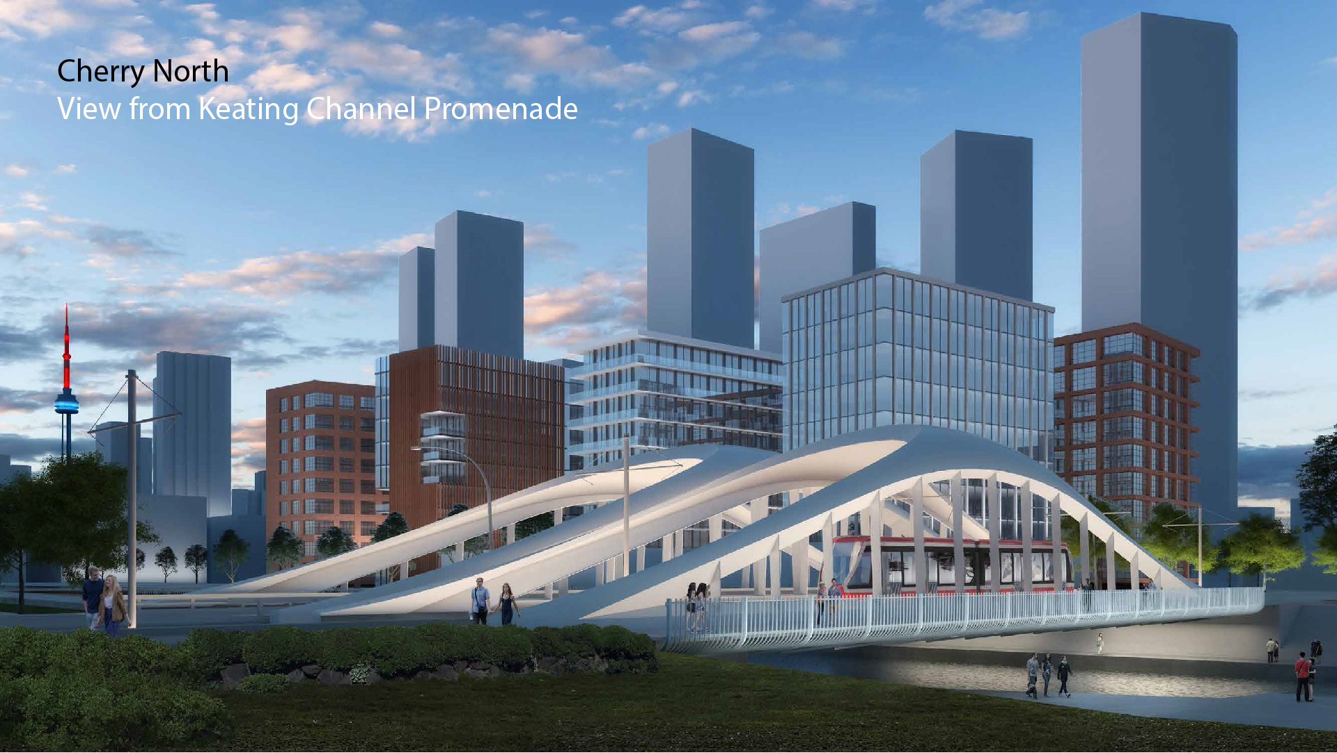
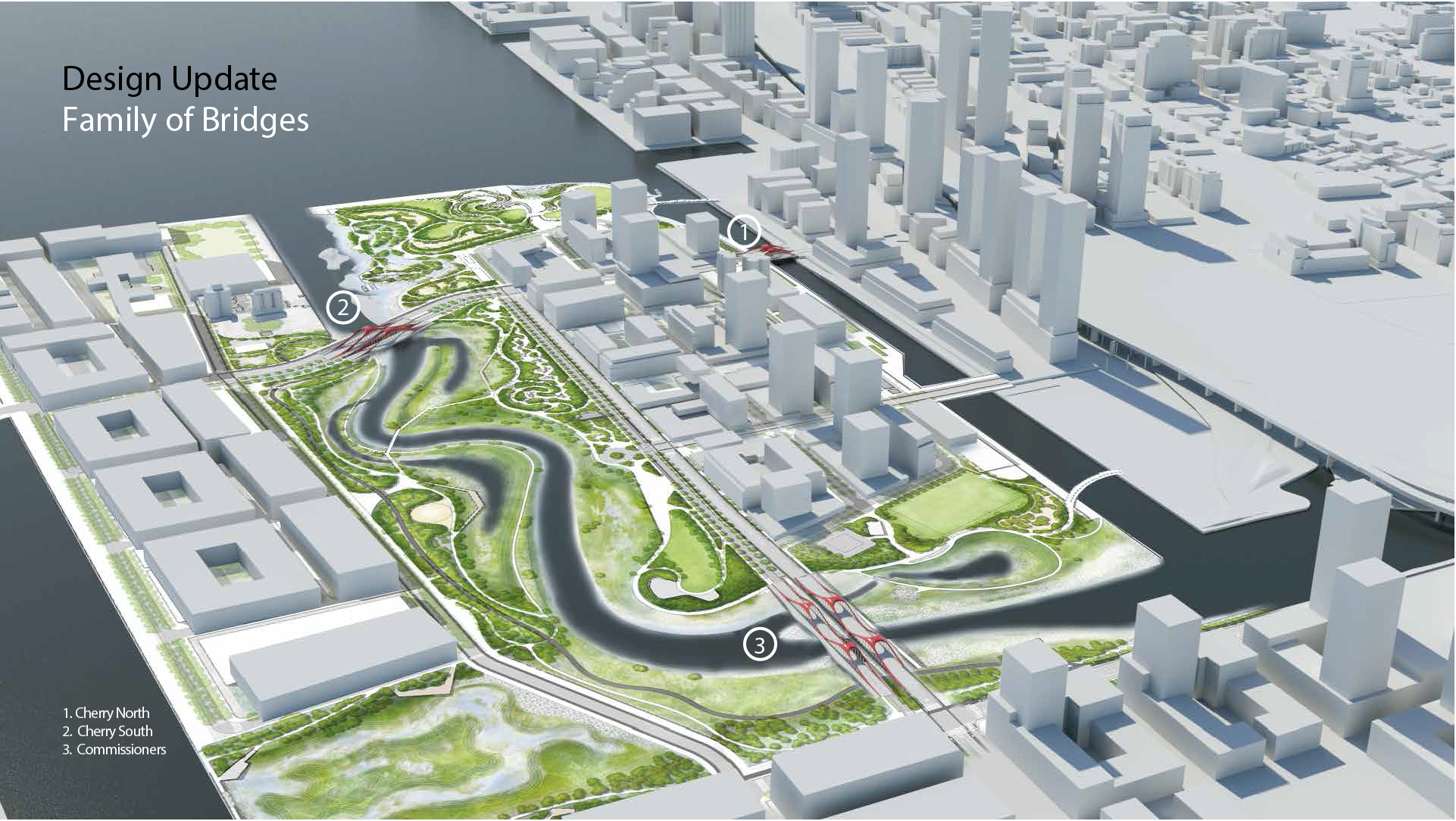
Extremely cool pic from Alex Bozikovic.

55F490CC-45F0-4DC2-B2FF-644FBF853633.jpeg
 
Just in time to be closed when the new bridge opens.
The new bridge will not open until 2021 or (more likely) 2022 so I think this is a particularly silly comment. Would you have preferred to leave Cherry blocked? (That's not to say that the City and Ports Toronto don't owe us an explanation as to why the bridge, which was refurbished in 2011/2012, was not properly maintained.)
 
Unrelated to this project I suspect - but in the first image posted by Skycandy (above), up in the top left corner - there is a large structure going up, which is squeezed between the GO train tracks and Lower Donlands.

Does anyone know what it is?
 
Unrelated to this project I suspect - but in the first image posted by Skycandy (above), up in the top left corner - there is a large structure going up, which is squeezed between the GO train tracks and Lower Donlands.

Does anyone know what it is?
There are two possible answers. The (permanent) new sewage pumping station at - or east of - the junction of Cherry & Lake Shore . OR several huge (temporary) white tents that are being used to construct the new sections of the Gardiner - these are east of the sewage pumping thing and closer to the Don River.. Take your pick.
 
There are two possible answers. The (permanent) new sewage pumping station at - or east of - the junction of Cherry & Lake Shore . OR several huge (temporary) white tents that are being used to construct the new sections of the Gardiner - these are east of the sewage pumping thing and closer to the Don River.. Take your pick.

Tents! Aha. yes that is it! Thank you - much appreciated.
 
From yesterday.

This is just east of the Don Roadway south of Villiers St. Not 100% sure this is part of the current Lower Don Lands project but I include it just in case.

fullsizeoutput_156b.jpeg


The buildings south of the intersection of Commissioners and Don Roadway seem to be completely demolished. The old United Rentals building next door is also being gutted in preparation for demolition.
fullsizeoutput_156c.jpeg


Looking east from Cherry.

fullsizeoutput_156e.jpeg


There seems to be a great deal of water pressure on this drilling device at the new Cherry St. bridge north site.

fullsizeoutput_156f.jpeg


It's somehow connected to this pit 100m away which geysers every couple of seconds.
fullsizeoutput_1570.jpeg


And finally the north side of Keating Channel at the new bridge site.

fullsizeoutput_1571.jpeg
 
Last edited:

Back
Top