kotsy
Senior Member
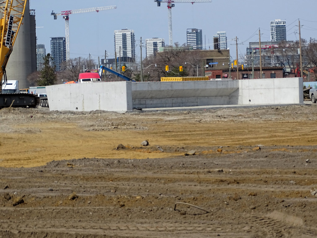
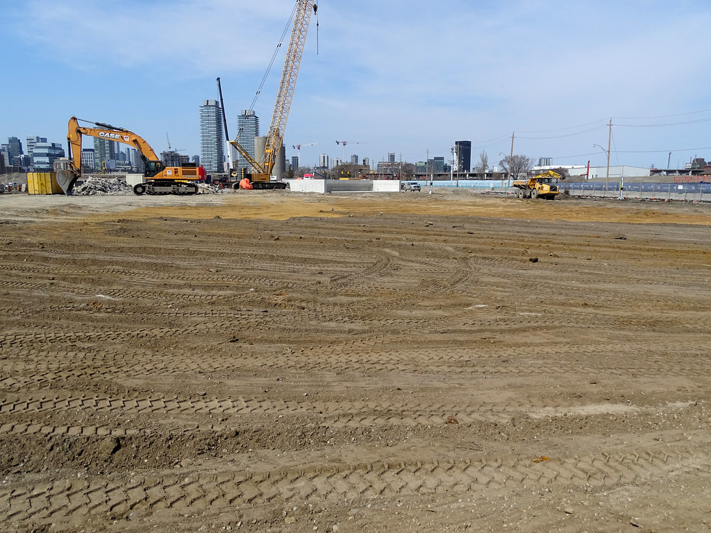
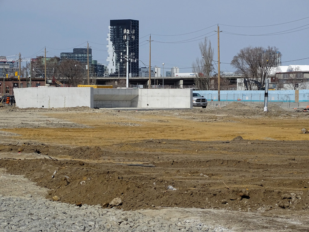
Took a quick pic of 2 new concrete supports for the north end of the new cherry st alignment.


Thanks for posting this! It's nice to see half the new cherry street alignment will be open by the end of the yearLooks like a new construction timeline video posted by Waterfront Toronto, rebaselined in February.
They seem to be expecting the Commissioners St. bridge west section on or about the 26th of this month (02:40) and the east section on or about June 7th (02:49)
Looks like they will be barged to the old foot of the Don Roadway in the shipping channel and transported up to the bridge location.
View of the future site of Atlas Crane Peninsula and Promontory Park South engulfed in thick fog last night. The 300-ton Atlas Crane rises above the fog on the right and Lafarge Cement facility is shrouded on the left. Shot from my balcony in the Distillery District.
View attachment 312673
I think it might be earlier than 2019, I don't even see Aiken Park or Aquabella started yet?Google's 3D map of Toronto updated recently. Although it's still woefully out of date, it really shows how big the project is.
View attachment 313179View attachment 313180
From: https://goo.gl/maps/4Nmkm72XYc73PuV87
Based on it showing buildings being demoed at YSL means these were likely taken early summer of 2019. It's crazy how much has been done since then. It's also interesting to see all the new buildings that have been built since the map has last been updated.
Matched to this post: https://urbantoronto.ca/forum/threa...cresford-kohn-pedersen-fox.17678/post-1455944 would be June 2019.
View attachment 313183
I think it might be earlier than 2019, I don't even see Aiken Park or Aquabella started yet?
Thank you! That's wild! It felt like Bayside and Lower Don was taking forever, but it's actually moving at such a rapid rate when seeing the progress from the sky.It's probably around Summer 2019 - you can tell from the state of the Cherry Street Lakefilling and the works in the future river valley:
View attachment 313228
View attachment 313229
AoD