cd concept
Senior Member
Yeah we'll ask the feds to do just that. They're good at printing money just for the heck of it lol!Sure... change all the old bridges, no problem. We'll pluck some cash out of the sky for that,
Yeah we'll ask the feds to do just that. They're good at printing money just for the heck of it lol!Sure... change all the old bridges, no problem. We'll pluck some cash out of the sky for that,
Do you realize what is using those bridges today.?????They should change all the old bridges and put in the same new modern ones that are slim to past boots through as seen in the photos up above. All the way up to River Dale park keeping the same theme!
Goodness, there's something life-affirming about that brief moment where they get to hang out under where the pigeons roost.
80cm clearance. Where there's a will, there's a way.
42

Yeah I know trains, trams, trucks! Just a pipe dream but at least the bridges should be cleaned up and so should the area in the future lol!Do you realize what is using those bridges today.?????
A hell lot more cost than replacing the bridges will cost.
If I remember right, that dirt area will become part of the river and the sediment area.
There is a lot more been use for those unuse bridges over the roads that will cost a lot more to move than rebuilding bridges or painting them. What good is it to paint something or built new when they are tag with hours or days of being done.Yeah I know trains, trams, trucks! Just a pipe dream but at least the bridges should be cleaned up and so should the area in the future lol!
Some day the committee will say yes to cleaning this area up.There is a lot more been use for those unuse bridges over the roads that will cost a lot more to move than rebuilding bridges or painting them. What good is it to paint something or built new when they are tag with hours or days of being done.
Cleaning up the Don and the Green Space rank at the bottom of most people list to fund or do. Great for some of use to see, but most people don't give a shit.
We should spend huge amounts of money, because you don't like the look of something!Yeah I know trains, trams, trucks! Just a pipe dream but at least the bridges should be cleaned up and so should the area in the future lol!
| TE32.50 | ACTION | | | Ward: 14 |
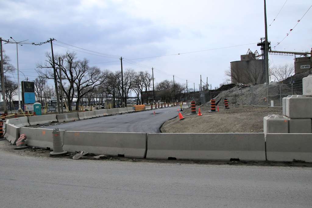
Construction Staging Area - Time Extension - Port Lands Flood Protection - Cherry Street Temporary Diversion Road |
Origin |
(April 1, 2022) Report from the Director, Traffic Management, Transportation Services |
Recommendations |
The Director, Traffic Management, Transportation Services recommends that: 1. City Council authorize the continuation of the temporary closure to vehicular and pedestrian traffic on the west sidewalk and two southbound lanes on Cherry Street between a point 55 metres south of Commissioners Street and a point 393.5 metres further south, from June 1, 2022 to July 31, 2022, inclusive, for purposes of the Port Lands Flood Protection Project and Enabling Infrastructure Project. 2. City Council authorize the continuation of the temporary closure to pedestrian traffic on the east sidewalk on Cherry Street, between a point 195 metres south of Commissioners Street and a point 263 metres further south, from June 1, 2022 to July 31, 2022, inclusive, for purposes of the Port Lands Flood Protection Project and Enabling Infrastructure Project. 3. City Council authorize the continuation of the temporary closure to pedestrian and cycling traffic Martin Goodman Trail on the east side of Cherry Street, between a point 195 metres south of Commissioners Street and a point 263 metres further south, from June 1, 2022 to July 31, 2022, inclusive, for purposes of the Port Lands Flood Protection Project and Enabling Infrastructure Project. 4. City Council authorize the continuation of the temporary closure to vehicular and pedestrian traffic each of the north boulevard and the 5.5 metre wide portion of the westbound lane on Polson Street, between Cherry Street and a point 83.5 metres west, from June 1, 2022 to July 31, 2022, inclusive, for purposes of the Port Lands Flood Protection Project and Enabling Infrastructure Project. |


![51988564241_f8a4bcf5c0_b.jpg]](https://live.staticflickr.com/65535/51988564241_f8a4bcf5c0_b.jpg])
Seeds are fine things that everyone needs! Perhaps, they'll grow to into truffula trees, and we'll all get our hands on some new knitted Thneeds!