You are using an out of date browser. It may not display this or other websites correctly.
You should upgrade or use an alternative browser.
You should upgrade or use an alternative browser.
- Thread starter Jasonzed
- Start date
Rupert Pumpkin
Active Member
Is there a way to view the zoning/site plan submission on the Mississauga Development application website?
Would love to see the plans on this one.
Would love to see the plans on this one.
Jasonzed
Senior Member
Jasonzed
Senior Member
drum118
Superstar
Dec 19
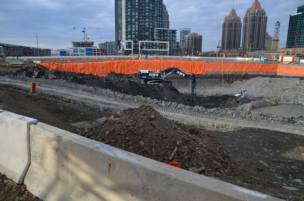
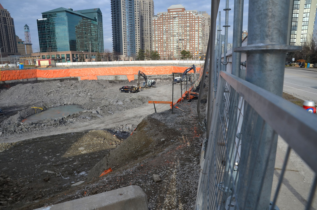
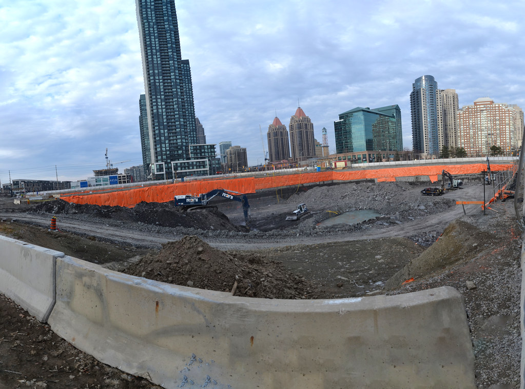
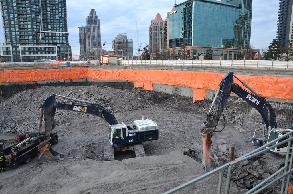
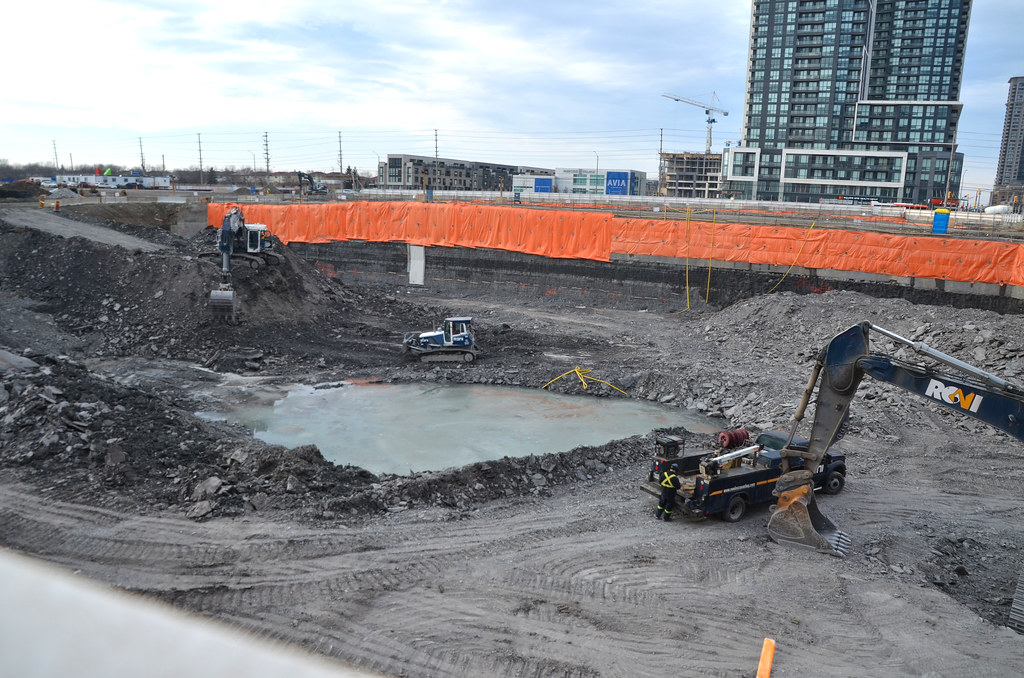
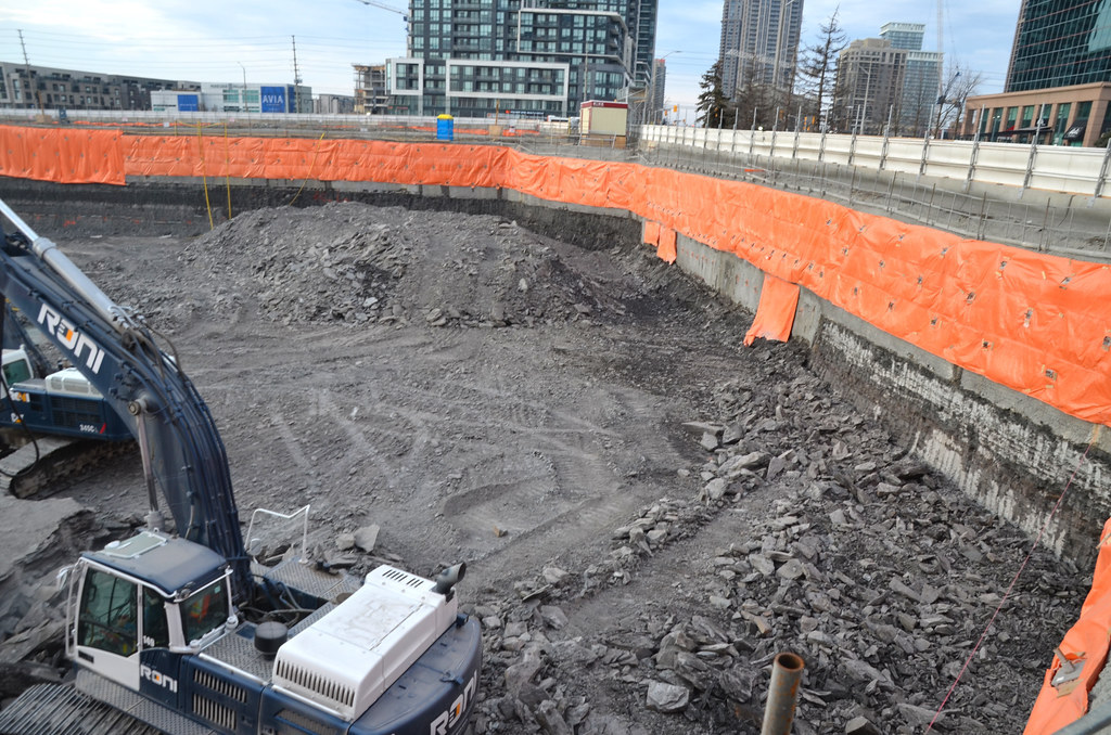
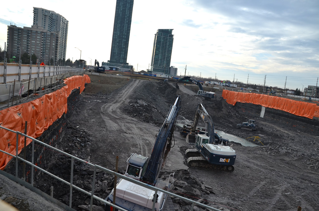
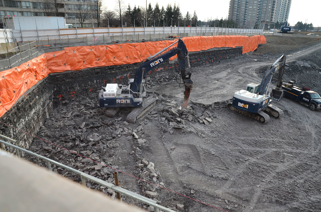
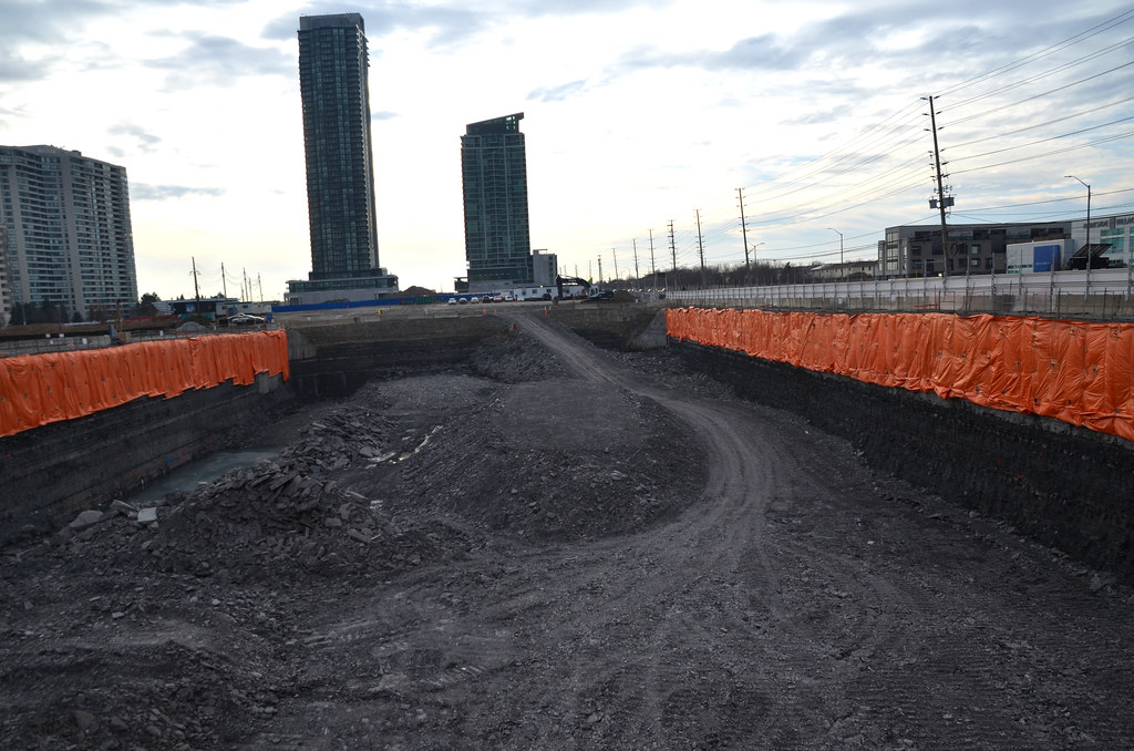
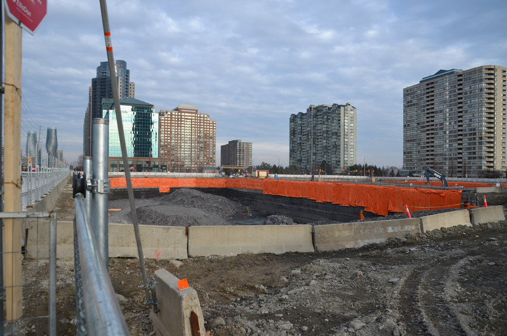
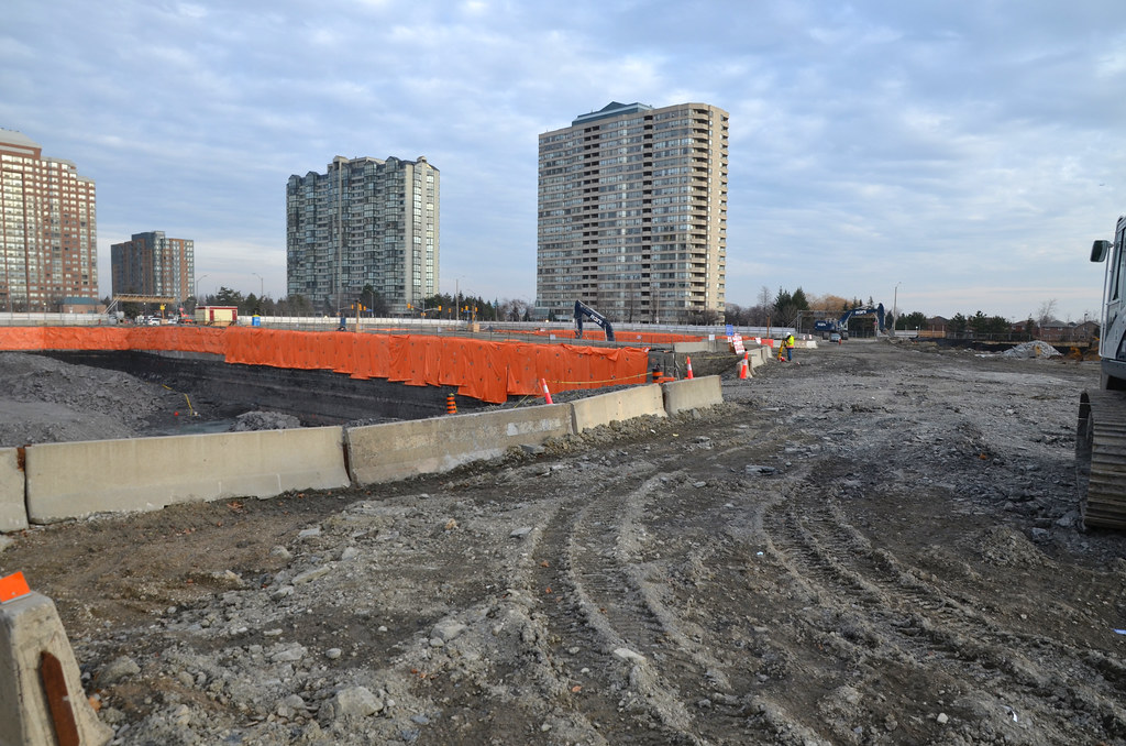
Surprise at the lack of equipment and active for the site. No equipment for M1 hole and still not dug out yet. M2 had equipment and removing earth from the wall at the east end and jackhammering the shale earth to bring it down to what looks like the bottom of the hole. Other earth was being pile for removal in the new year. They have open the new driveway off Burnhamthorpe. Good land fill for the waterfront.
Unless things have change that I am not aware of, M1 is 62s and M1 is 61s.


Jasonzed
Senior Member
Rupert Pumpkin
Active Member
Looks like bedrock is only a couple metres below grade? Any idea on the number of parking levels for M1, M2?
innsertnamehere
Superstar
given the size of the buildings, I'd imagine a lot.
CapCurk
New Member
Looks like 4 Levels for M1. Here is a link from CORE architecture with some renders/floorplans. https://www.corearchitects.com/project/m-city-phase-1-2Looks like bedrock is only a couple metres below grade? Any idea on the number of parking levels for M1, M2?
Jasonzed
Senior Member
drum118
Superstar
Going to planning on Jan 28
Information Status and Removal of "H" Holding Symbol Report to permit two 61 storey towers, two park blocks and two new streets 3980 Confederation Parkway, southwest corner of Burnhamthorpe Road West and Confederation Parkway Owner: Rogers Telecommunications Limited File: HOZ 17/002 W7
Information Status and Removal of "H" Holding Symbol Report to permit two 61 storey towers, two park blocks and two new streets 3980 Confederation Parkway, southwest corner of Burnhamthorpe Road West and Confederation Parkway Owner: Rogers Telecommunications Limited File: HOZ 17/002 W7
Koops65
Senior Member
They're both 61 floors now?
drum118
Superstar
I have seen 61 for M2 and 62 for for M1, but the report going to planning say 61.They're both 61 floors now?
https://www7.mississauga.ca/documents/committees/pdc/2019/2019_01_28_PDC_Agenda.pdf
Love to see more floors added to the 81 M3 tower
Jasonzed
Senior Member
drum118
Superstar
Jan 26
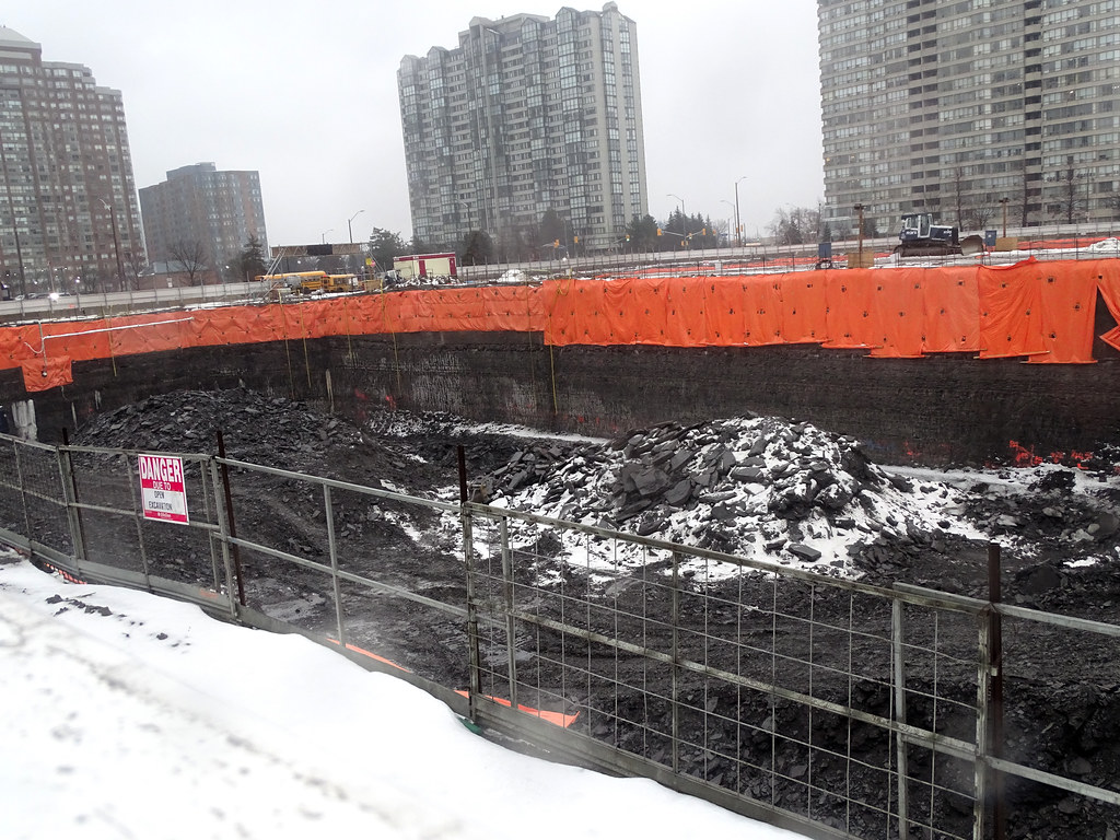
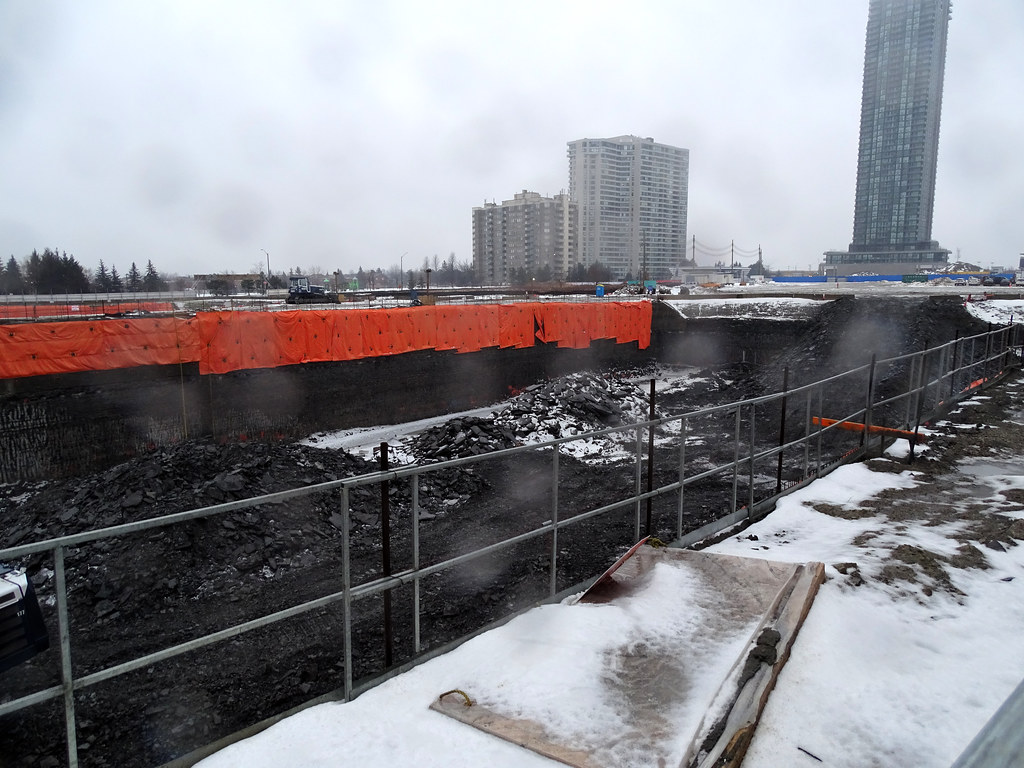
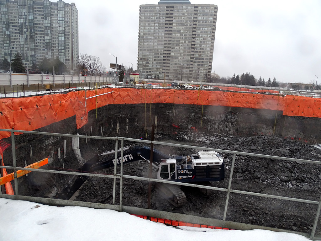
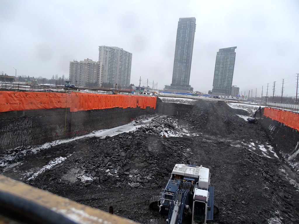
Still digging both hole deeper with M2 ahead of M1. Watch out for the rain
M1
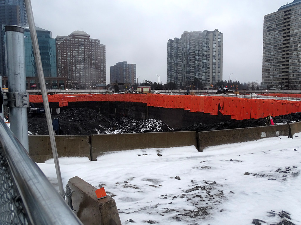
M2
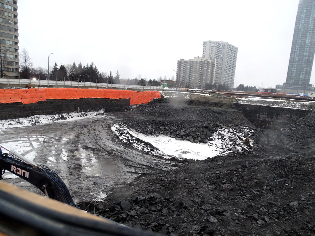
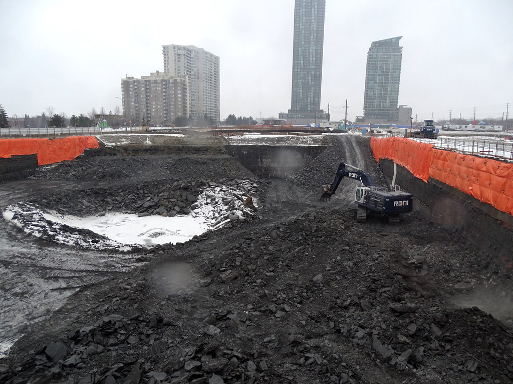
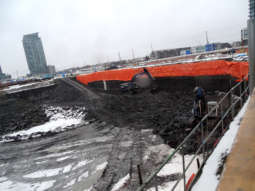
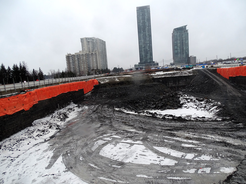
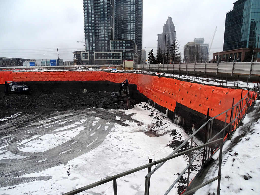
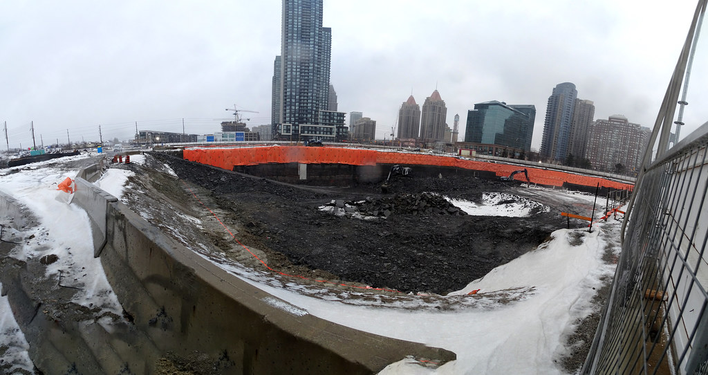
Still digging both hole deeper with M2 ahead of M1. Watch out for the rain
M1


M2


