therockiesman
New Member
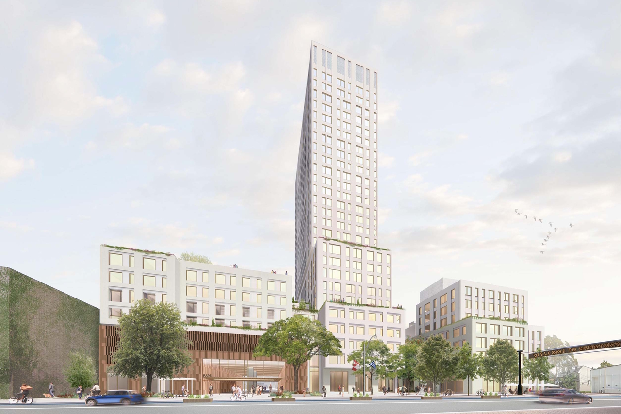
Though not directly related to the Line itself, IO has released a TOC plan for the Pape Station:
 urbantoronto.ca
Transit-Oriented Community Plan Released for Pape Station | UrbanToronto
UrbanToronto looks at the planned Transit-Oriented Community program at Pape station where Ontario Line 3 will interchange with Danforth Line 2.


")