I'm sure this has come up a million times, but--when are they starting construction on the buildings south strip of the lot?
 
The only reason that multiple buildings were built here in one go was to satisfy the housing needs of the Pan Am Games. I wouldn't expect a whole raft of buildings along the south strip to be built at any point. I think we'll see one at a time over quite a while, maybe a decade before every site is taken, maybe longer. There is still a north side site too—between the affordable housing buildings east of the George Brown residence and Canary Park condos—and another couple of Front Street south side sites on either side of Canary District condos too, probably all to be developed before Mill Street buildings along the southern end of the site. Which building will be marketed next, and when? No indications yet, but I imagine we will hear about the next project sometime this year.

42
 
I'm sure this has come up a million times, but--when are they starting construction on the buildings south strip of the lot?
I assume you mean the strip between Mill Street and the rail corridor. Originally this was supposed to be where the central heating plant and a school. were to go. Despite most of the site having piping installed they gave up on the central heating idea and I have heard nothing about other uses for that part of this strip. The school is still 'on the books' and when new condos are built in St Lawrence the developers now have to tell prospective owners that the local schools are 'full'. I assume that the TDSB are 'looking at it'.
 
I have read that there will be further launches for this neighbourhood this year, but that was from a Dundee Kilmer employee comment on BlogTO, whatever that's worth.
 
I've just gone several pages back in this thread to check, looking for old pics of Tadashi Kawabata's Untitled (aka Street Lights), because when I was in the area today, it suddenly sunk in that they individuals lights aren't all gray, but four different colours. Anyway, most of the pics of it so far (as far back as I've gone) have been on rather gray days, and their colours have not sunk in before. Here they are, this afternoon:

DSC01246.jpg
DSC01247.jpg
DSC01249.jpg


42
 

Attachments

  • DSC01246.jpg
    DSC01246.jpg
    418.6 KB · Views: 684
  • DSC01247.jpg
    DSC01247.jpg
    425.2 KB · Views: 687
  • DSC01249.jpg
    DSC01249.jpg
    360.3 KB · Views: 667
I assume you mean the strip between Mill Street and the rail corridor.

Well isn't there the blocks bounded by Mill, Bayview, Front and Tannery, as well as the south portion of the block to the west? Both are parkland for now, and there were Canary District signs stating 'hey, this isn't a public park, it's private property until we develop it.'
 
I missed the signs yesterday (I wasn't looking for them), but yes, that's a particularly big block. By the 'south portion of the block to the west' I think you mean everything south of Front between Cherry and Cooperage, and yes, there's a ton of space there too. I think that Anishnawbe Health are building a new facility within the walls of the building that surrounds the old Canary Restaurant, but they may also be getting some of the space beyond its walls too. Even if they have some space beyond the building, there's a ton of space there too for redevelopment.

While the Mill/Bayview/Front/Tannery block is landscaped, the Mill/Cooperage/Front/Cherry block is paved, as the huge Pan Am dining tent had sat on it. Across Cherry, there's another huge paved area—essentially everything north of the Options for Homes buildings between Mill/Cherry/Front/Trinity—which the athlete's services tents were set up on. I am sure that someone could make a killing running a parking lot for Distillery visitors on one of those two paved sites, but they are just going to be frying pans this summer if they don't tear up some of the pavement and grass it.

There is many years worth of redevelop-able land down there. It's not all going to be knit into the city in a flash.

42
 
I'll also point out that the idea of a dedicated pedestrian/cycling bridge didn't come out of nowhere -- it's actually in the West Don Lands precinct plan (see p. 25; warning, big PDF). Clearly the planners also recognized the need for this link. Hardly a "waste" of money, though that doesn't mean it's going to get built, because apparently in Toronto we only write blank cheques for elevated expressways... but I digress.

Yeah, lots of changes since May 2005. Like, they built the bike ramp up to the Eastern flyover that was not in your .pdf, for example. I expect that they did that rather than a completely separate bike bridge to nowhere. A nowhere that'll someday be a somewhere, but not any time soon.
 
Last edited:
Found this shot on the UT Flickr Pool. Had no idea the eyes lit up on Water Guardians. Pretty unsettling IMO

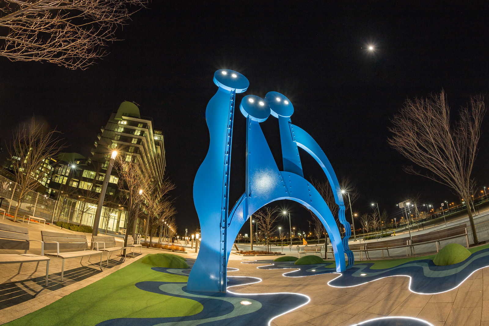
Water Guardians by Randy Hoffmann, on Flickr
 
Yeah, lots of changes since May 2005. Like, they built the bike ramp up to the Eastern flyover that was not in your .pdf, for example. I expect that they did that rather than a completely separate bike bridge to nowhere. A nowhere that'll someday be a somewhere, but not any time soon.
Not to beat a dead horse, but are you aware that there was already a pedestrian access from Eastern to St Lawrence when these plans were drawn up? The old ramp was rebuilt slightly east because it conflicted with the extension of Lower River Street into the WDL. If you don't believe me, have a look at the old Street View images from the flyover on Eastern and also from St Lawrence. There's always been a pedestrian/cyclist ramp from Eastern. It's terrible infrastructure, though, and the master plan recognizes that nobody wants to walk or bike on a highway overpass. Thus the plan for a proper crossing that you pooh-poohed so thoroughly. :)
 
Not to beat a dead horse, but are you aware that there was already a pedestrian access from Eastern to St Lawrence when these plans were drawn up? The old ramp was rebuilt slightly east because it conflicted with the extension of Lower River Street into the WDL. If you don't believe me, have a look at the old Street View images from the flyover on Eastern and also from St Lawrence. There's always been a pedestrian/cyclist ramp from Eastern. It's terrible infrastructure, though, and the master plan recognizes that nobody wants to walk or bike on a highway overpass. Thus the plan for a proper crossing that you pooh-poohed so thoroughly. :)

The 'plan' is a green arrow vaguely south of Eastern. So, yeah.
 
Miscellanea.....taken today.


West Donlands1.jpg
West Donlands2.jpg
West Donlands3.jpg
West Donlands4.jpg
 

Attachments

  • West Donlands1.jpg
    West Donlands1.jpg
    1.2 MB · Views: 1,279
  • West Donlands2.jpg
    West Donlands2.jpg
    1.1 MB · Views: 1,281
  • West Donlands3.jpg
    West Donlands3.jpg
    1.5 MB · Views: 1,273
  • West Donlands4.jpg
    West Donlands4.jpg
    703.2 KB · Views: 1,266

Back
Top