You are using an out of date browser. It may not display this or other websites correctly.
You should upgrade or use an alternative browser.
You should upgrade or use an alternative browser.
- Thread starter Daveography
- Start date
EDC Reviewed the West Valley Line:
B.4. 18:30 Valley Line West (LRT)
Sandra Renihan - Dialog Design
MOVED: F. Cavaliere
Motion of support with conditions.
The Committee recommends the following:
● Providing as much bicycle infrastructure (including secure, covered parking) at as many stops and stations as possible, and providing safe and convenient connections to bicycle paths, routes and networks wherever possible, to maximize multi-modal transportation choices for users.
● Ensuring all buildings and structures (including stations, maintenance facilities and TPSSs) otherwise requiring Development Permits (ie. outside the ROW) to be presented to the Edmonton Design Committee.
● Exploring above grade connectivity across 87 Avenue at both the West Edmonton Mall and Misericordia station - to maximize accessibility from these communities south of the LRT alignment.
● Exploring the opportunity to upgrade utilities in conjunction with the construction of the LRT, to achieve more integrative city-building outcomes. Conduct a feasibility study which identifies opportunities for utility upgrades along the LRT corridor to support anticipated TOD development.
● Exploring the opportunity to adjust the site design of the Lewis Farms Station and Park and Ride Facility to accommodate future redevelopment and land use intensification (including but not limited to mixed use development and structured parking) in line with City of Edmonton TOD policies and guidelines. As required, structure the Project Agreement to facilitate this transformation and intensification.
SECONDED: M. Figueira
CARRIED
FOR THE MOTION: R. Labonte, W. Sims, T. Antoniuk, F. Cavaliere, D. Deshpande, M. Figueira, S. Kaznacheeva, H. Mapstone, A. Zepp
https://www.edmonton.ca/city_government/documents/EdmontonDesignCommittee_April_10_2018_Minutes.pdf
Platinum107
Senior Member
They released the names not too long ago. Not to shabby in my opinion
https://www.edmonton.ca/projects_plans/transit/valley-line-west.aspx
https://www.edmonton.ca/projects_plans/transit/valley-line-west.aspx
chrisvazquez7
Active Member
I walked the entire Valley Line today to get some progress photos. Keep in mind the photos were taken with my phone, so not the greatest quality, but you get the general idea of where things are right now in terms of progress. All photos and more can be found on my photostream: https://www.flickr.com/photos/chrisvazquez
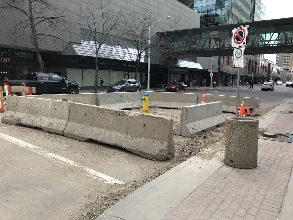
We start off at 102 Street and 102 Avenue where you can see 102 St will be dramatically narrower than it is now judging by the placement of the fire hydrant.
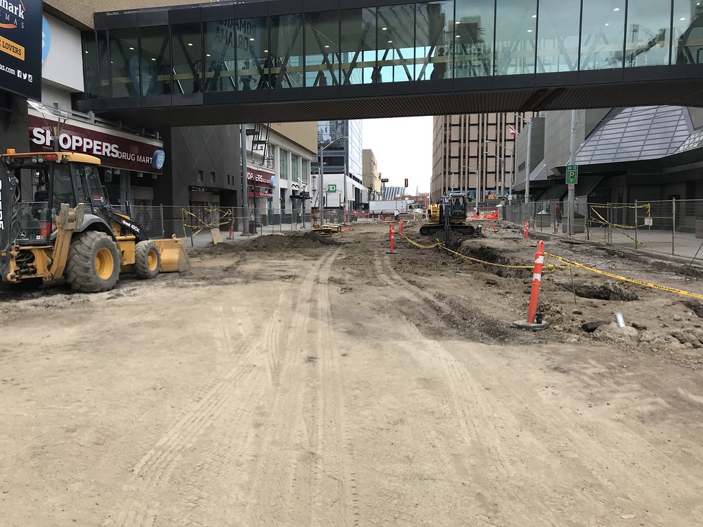
Utility work under way. Looking east along 102 Ave at 102 St.
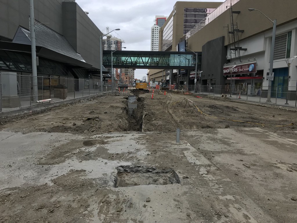
Utility work under way. Looking west along 102 Ave at 101 St.
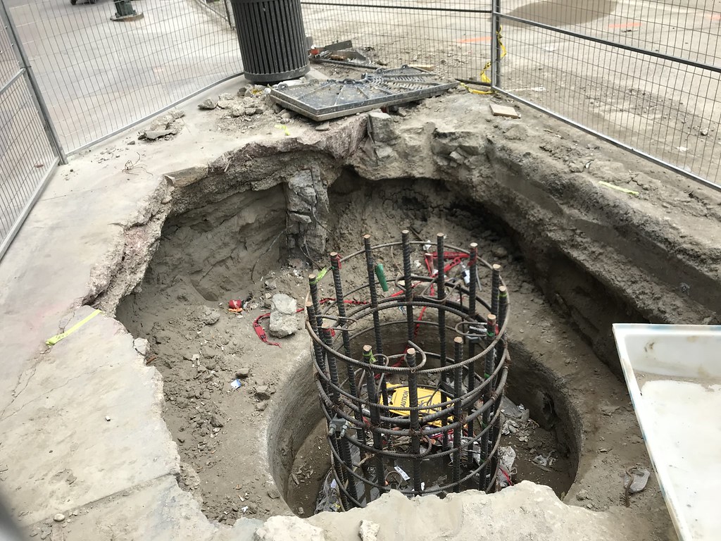
Most, if not all of the rebar for the catenary pole foundations are in place between 101 St and 97 St.
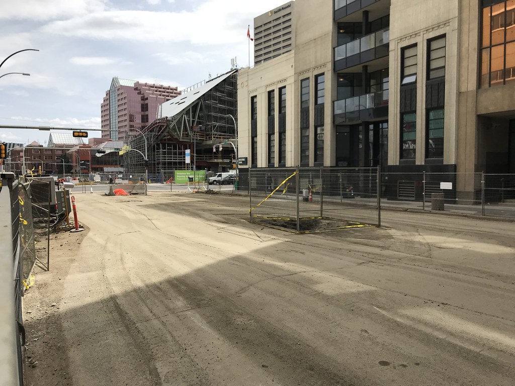
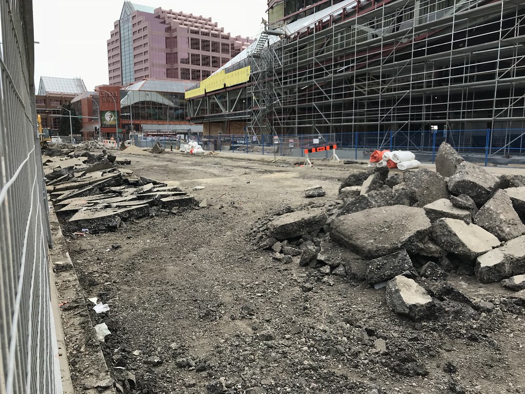
102 Avenue between 101 St and 99 St. Utility work ongoing.
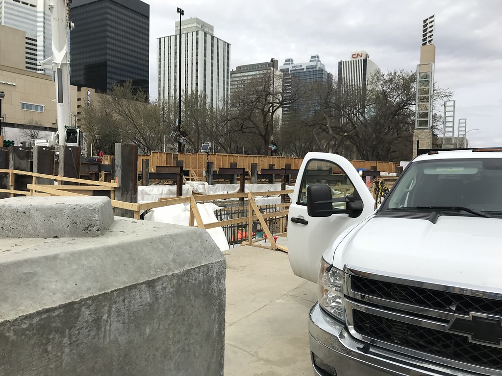
Couldn't get a great shot of the Churchill Connector, but at least this gives you an idea of the scale.
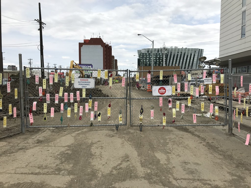
The fence at 97 Street has lots of little Chinese tags, in reference to the gate that was once there, I imagine.
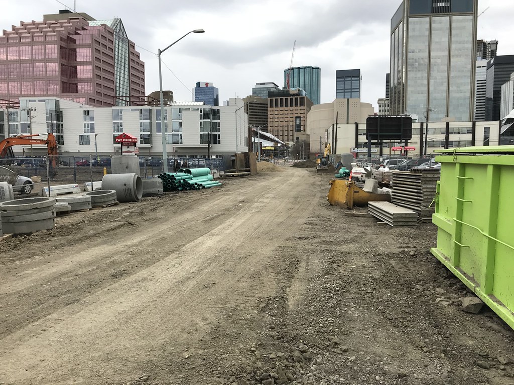
102 Ave through The Quarters looks more like a logging road right now than a proper city street.
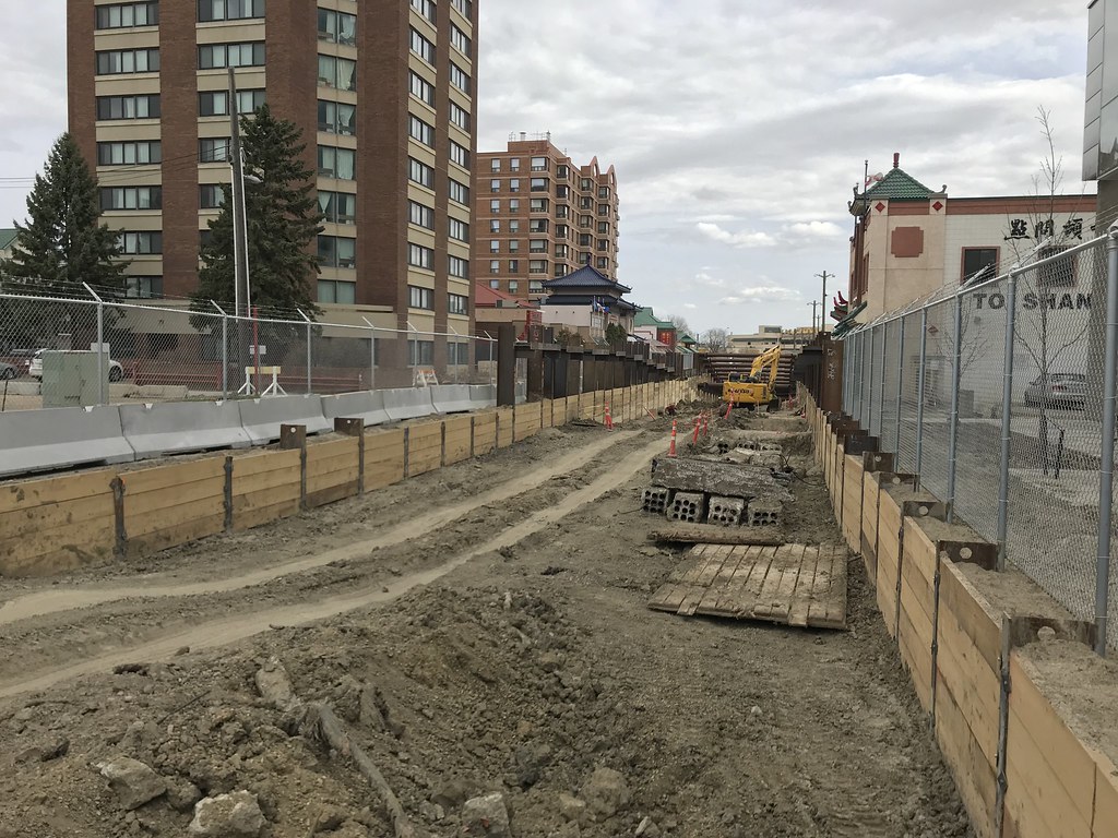
East of 96 Street, the LRT will start descending into a tunnel.
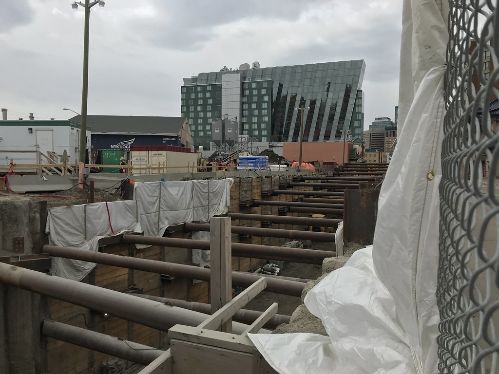
Another view of the trench, this time looking west from 95 St.
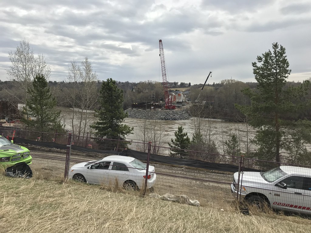
Work ongoing at the bridge site. Not too many opportunities for photos here unfortunately.

We start off at 102 Street and 102 Avenue where you can see 102 St will be dramatically narrower than it is now judging by the placement of the fire hydrant.

Utility work under way. Looking east along 102 Ave at 102 St.

Utility work under way. Looking west along 102 Ave at 101 St.

Most, if not all of the rebar for the catenary pole foundations are in place between 101 St and 97 St.


102 Avenue between 101 St and 99 St. Utility work ongoing.

Couldn't get a great shot of the Churchill Connector, but at least this gives you an idea of the scale.

The fence at 97 Street has lots of little Chinese tags, in reference to the gate that was once there, I imagine.

102 Ave through The Quarters looks more like a logging road right now than a proper city street.

East of 96 Street, the LRT will start descending into a tunnel.

Another view of the trench, this time looking west from 95 St.

Work ongoing at the bridge site. Not too many opportunities for photos here unfortunately.
chrisvazquez7
Active Member
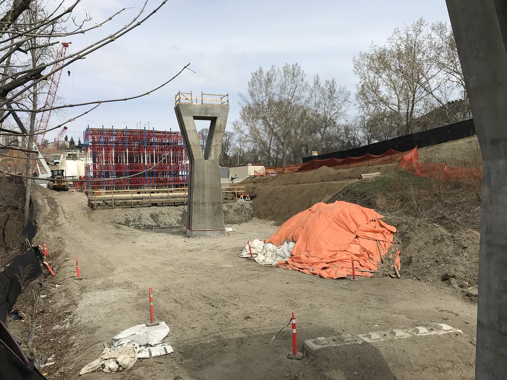
South of the river now. Looking north from 98 Ave.
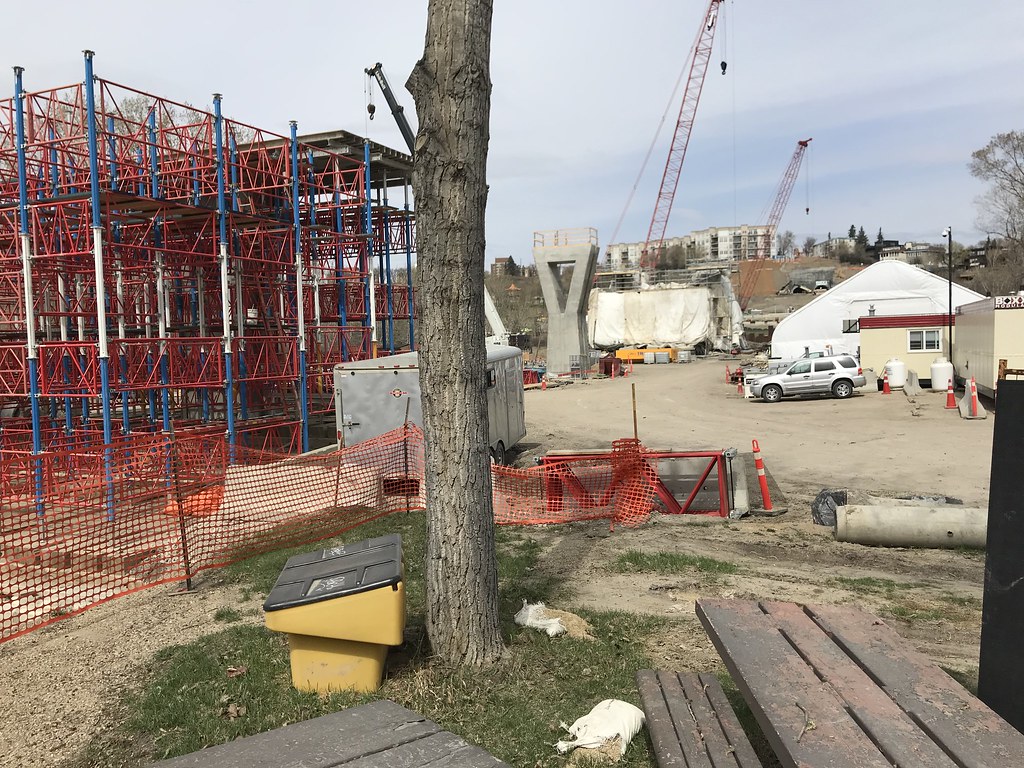
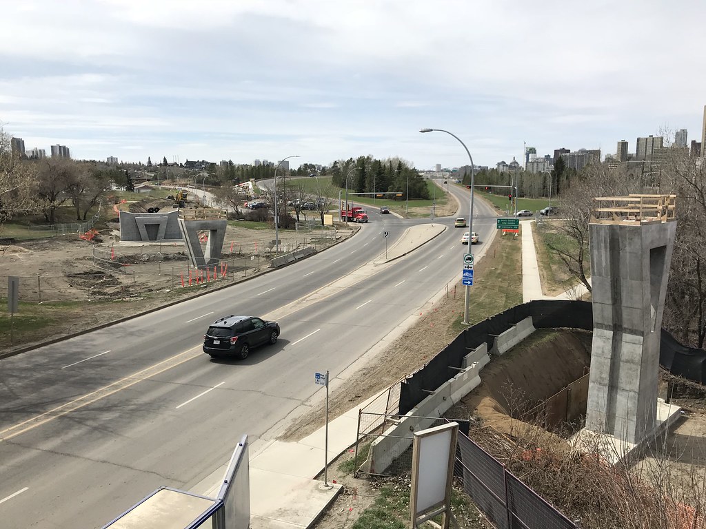
From the pedestrian overpass over 98 Ave, looking southwest toward the future Muttart Stop.
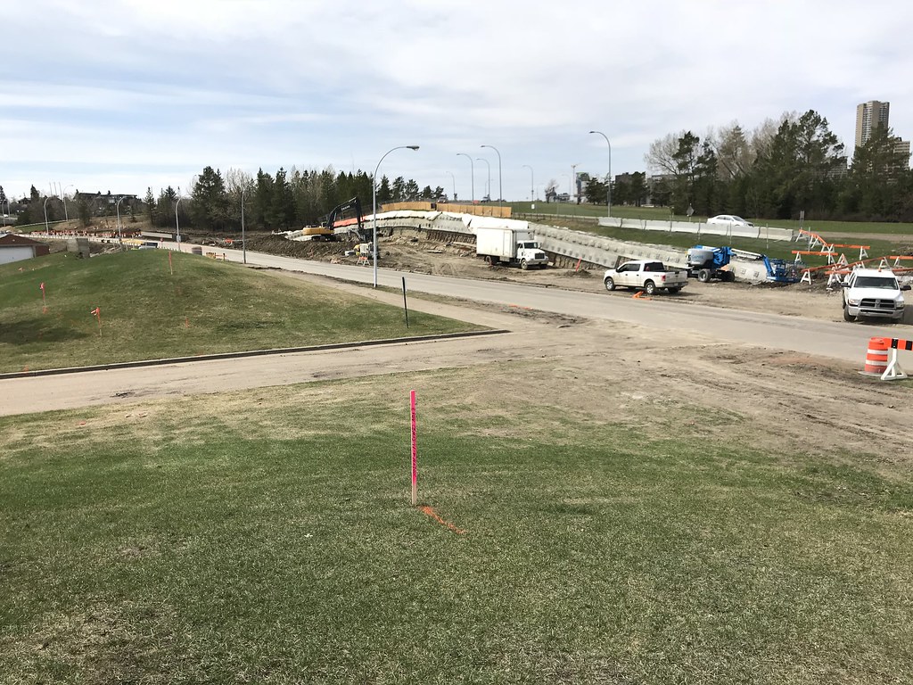
Retaining wall and other work proceeding at the Muttart Stop.
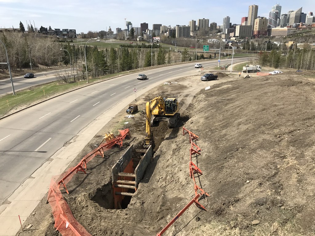
Looking west from Connors Rd pedestrian overpass.
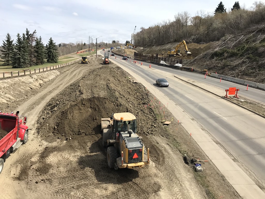
Looking east from the exact same bridge.
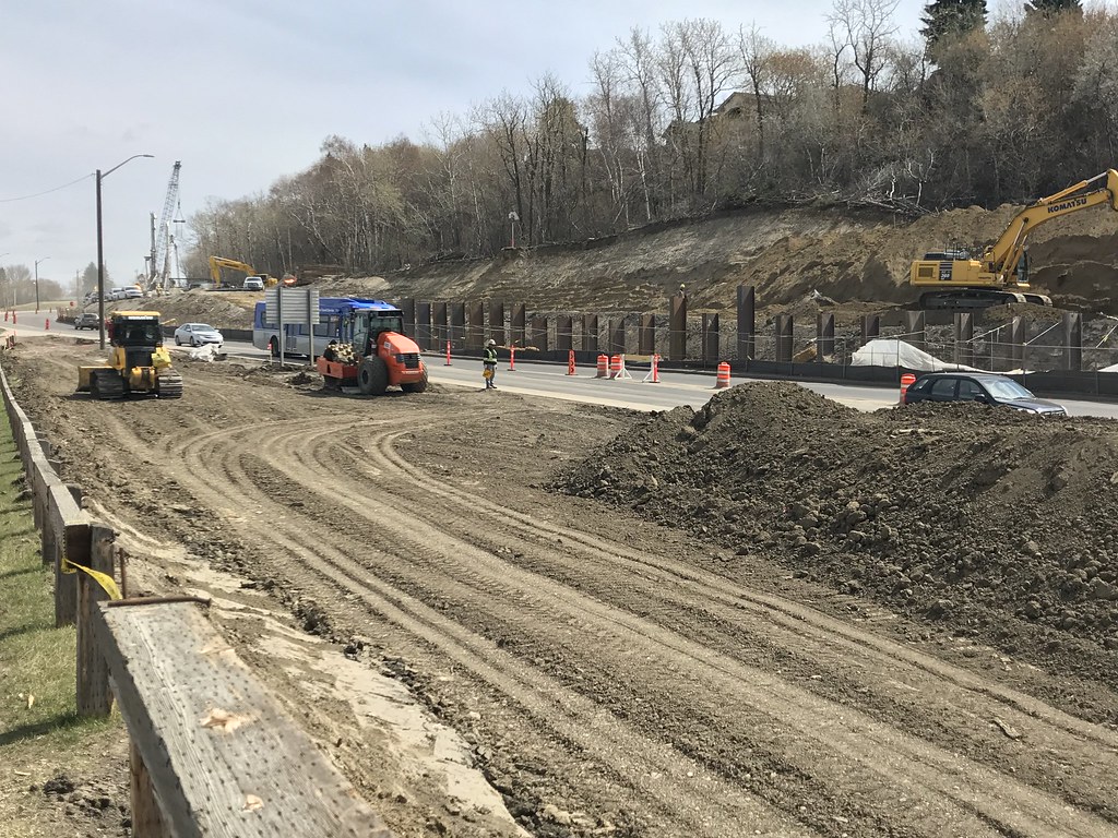
A little further up the hill, crews are working hard to shift Connors Rd over a few metres to the south.
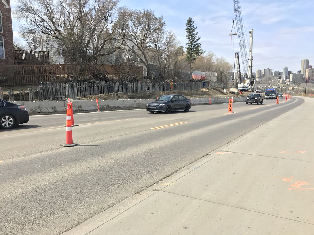
Retaining wall construction underway at the top of the hill.
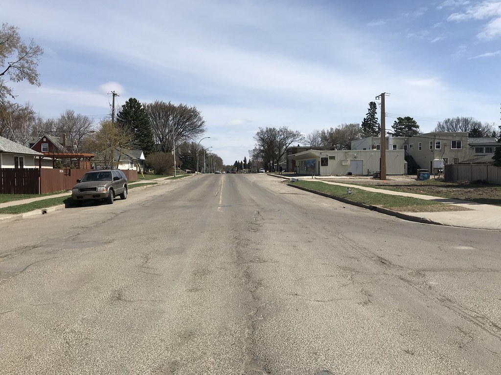
95 Avenue has hardly been touched. Looking east at 92 Street.
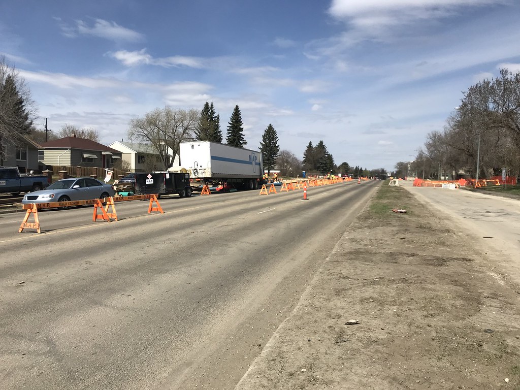
Roadwork underway on 85 St. Looking north at 93 Ave.
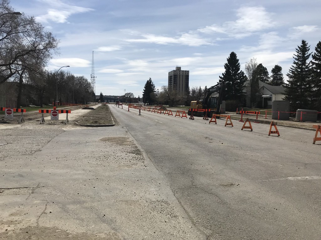
Looking south at 93 Ave/85 St.
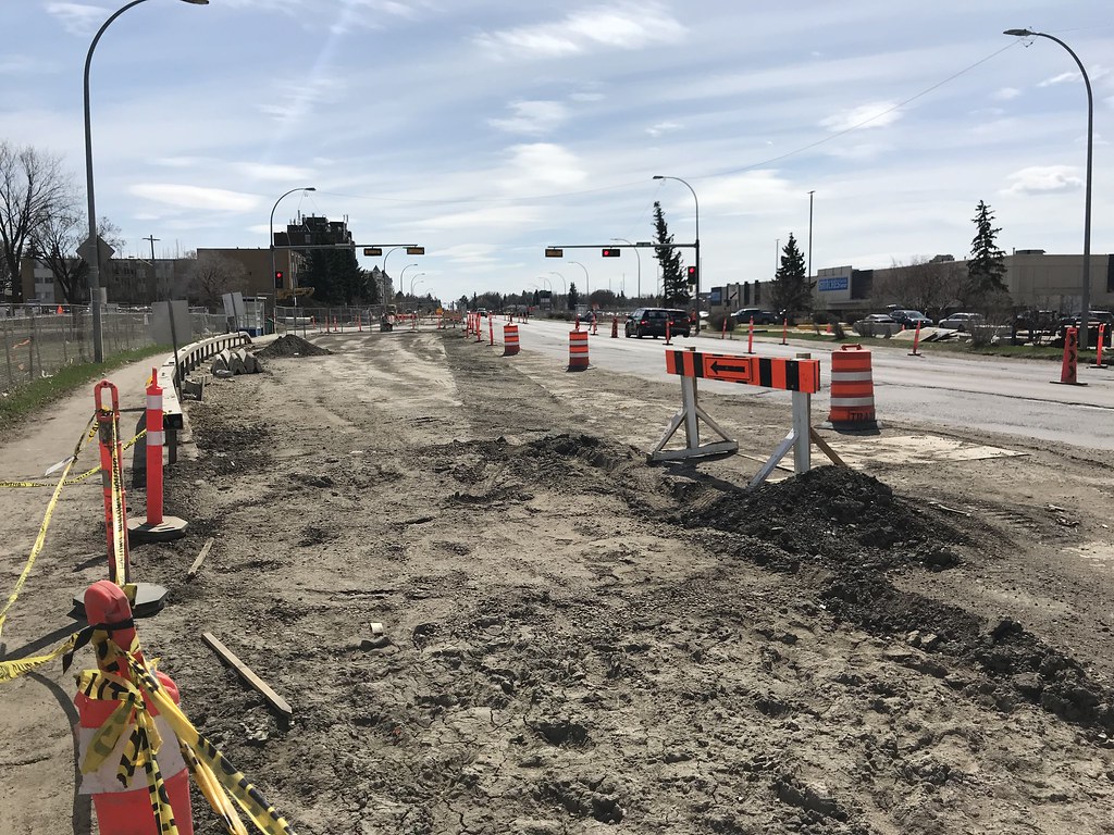
Looking south on 83 St just south of the Bonnie Doon traffic circle.
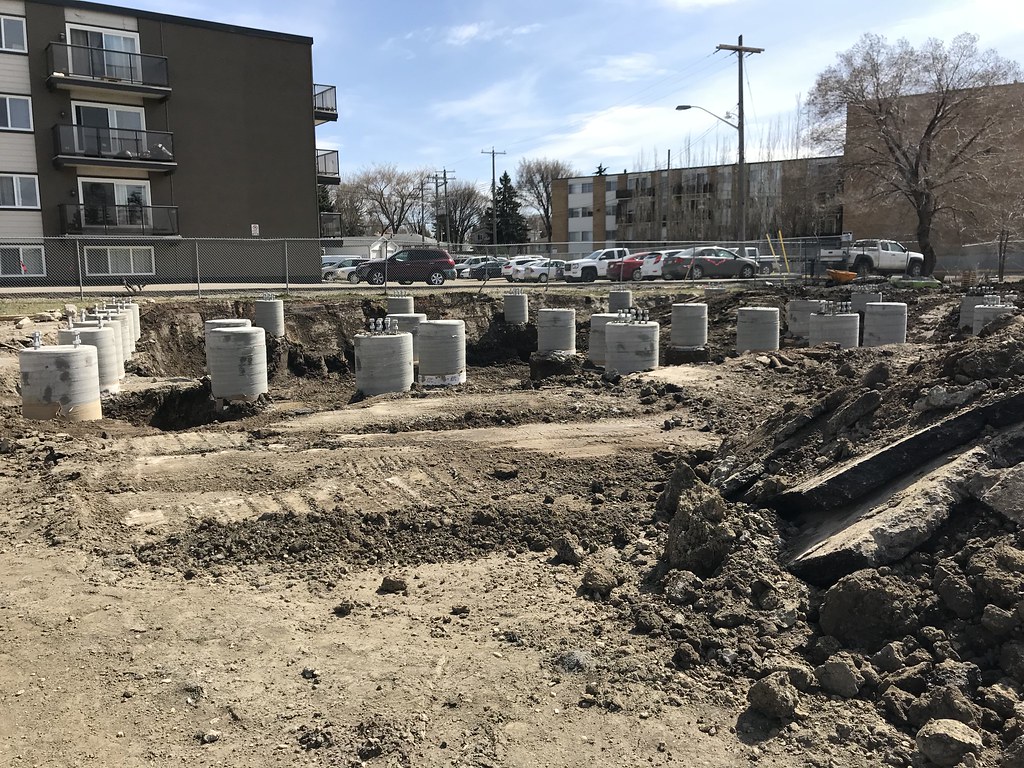
The foundations are in place for a traction power substation 86 Ave and 83 St.
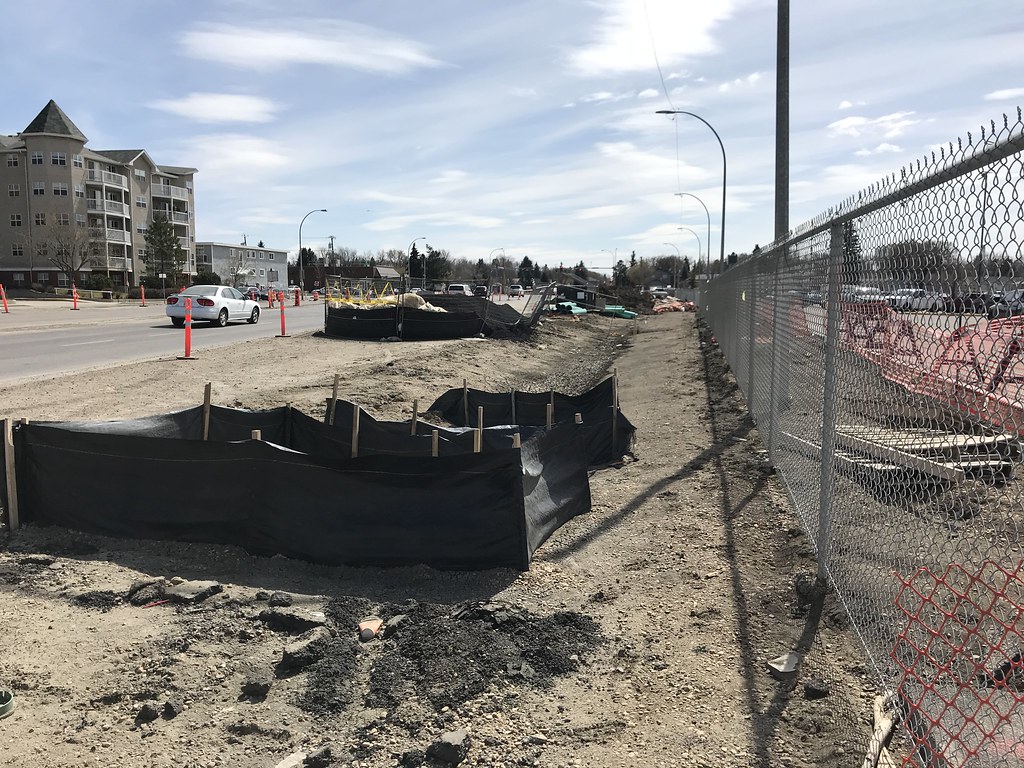
Future Bonnie Doon Stop. Not much to see here yet.
chrisvazquez7
Active Member
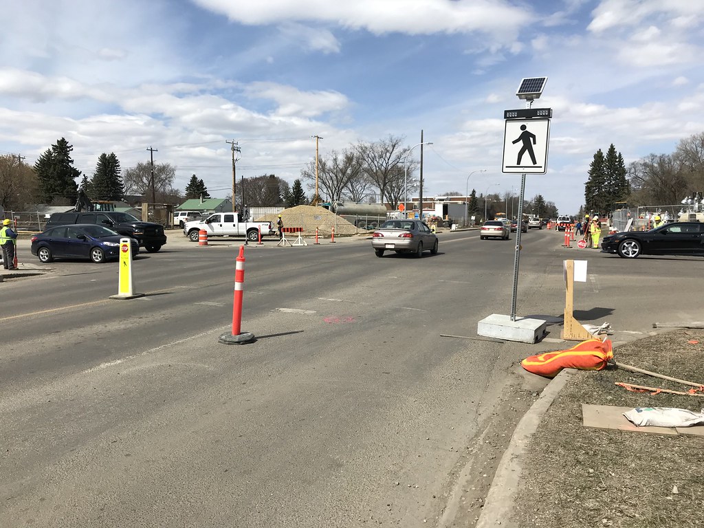
83 Street at 76 Avenue. They just removed the traffic lights a few days ago, and the traffic was moving slowly. People seemed to be confused.
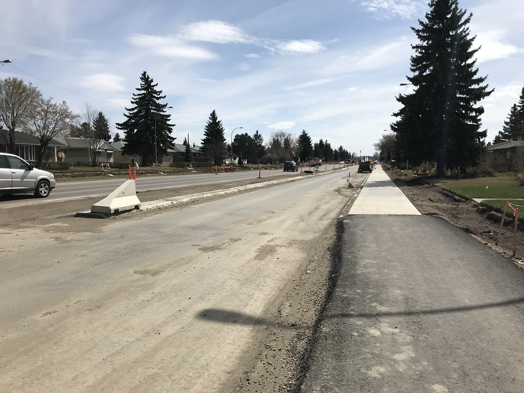
The final alignment of 83 Street southbound is complete for a few blocks south of 76 Ave.
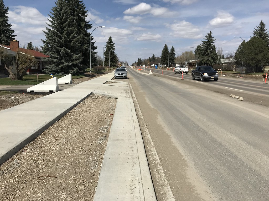
Another photo of the final alignment of 83 Street, this time looking north.
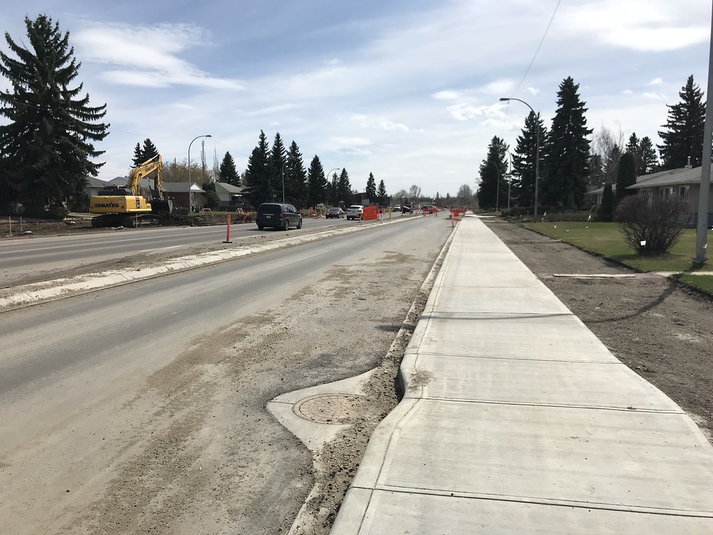
And one more, looking south.
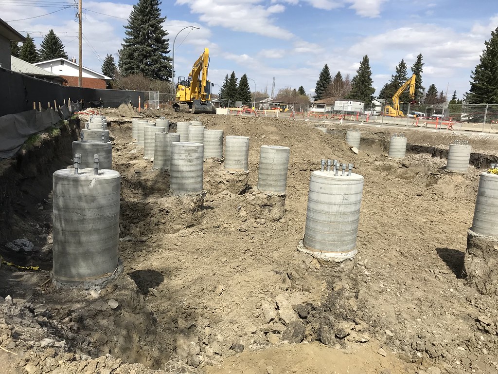
More foundations in place for a traction power substation. This one is at the corner of 83 Street and 69A Avenue.
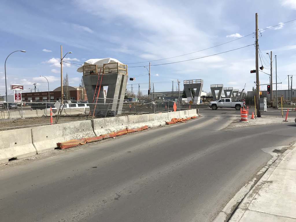
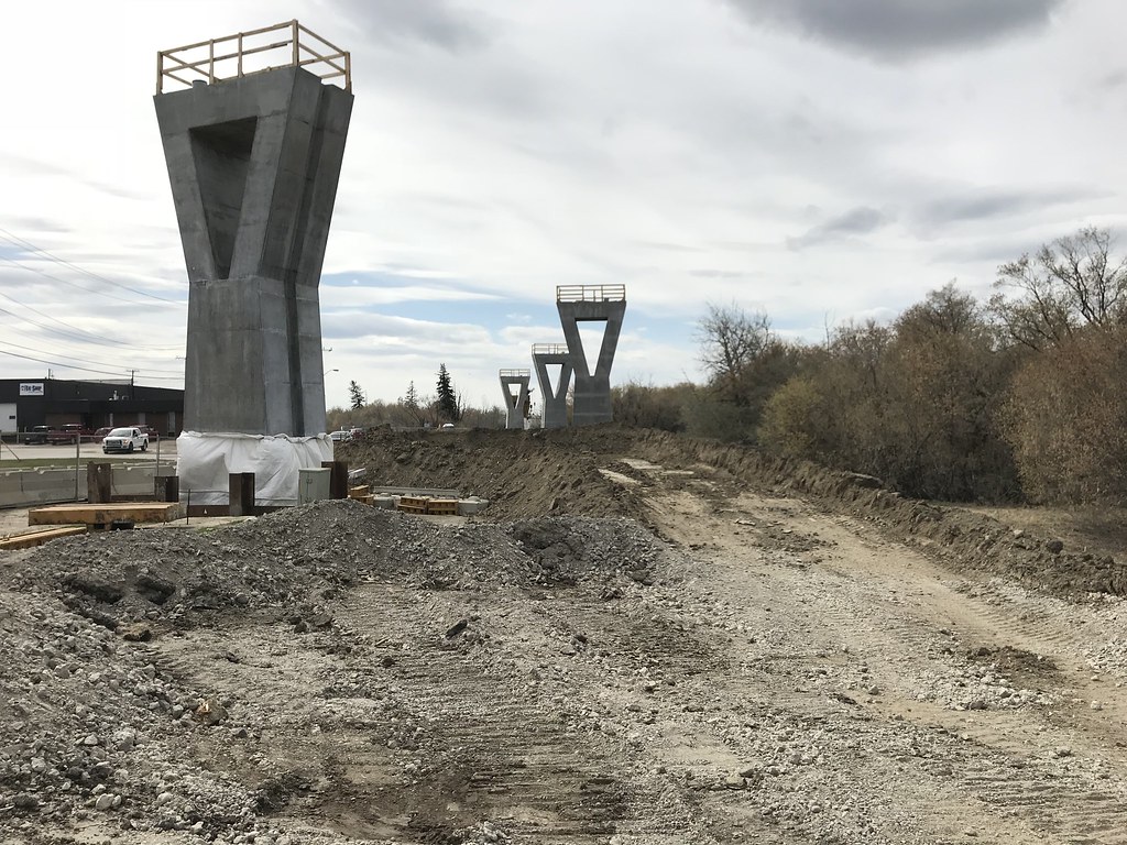
The piers are almost all in place for the elevated section of track between Argyll Road and 75 Street. This photo was taken at 83 St and Argyll Rd looking south.
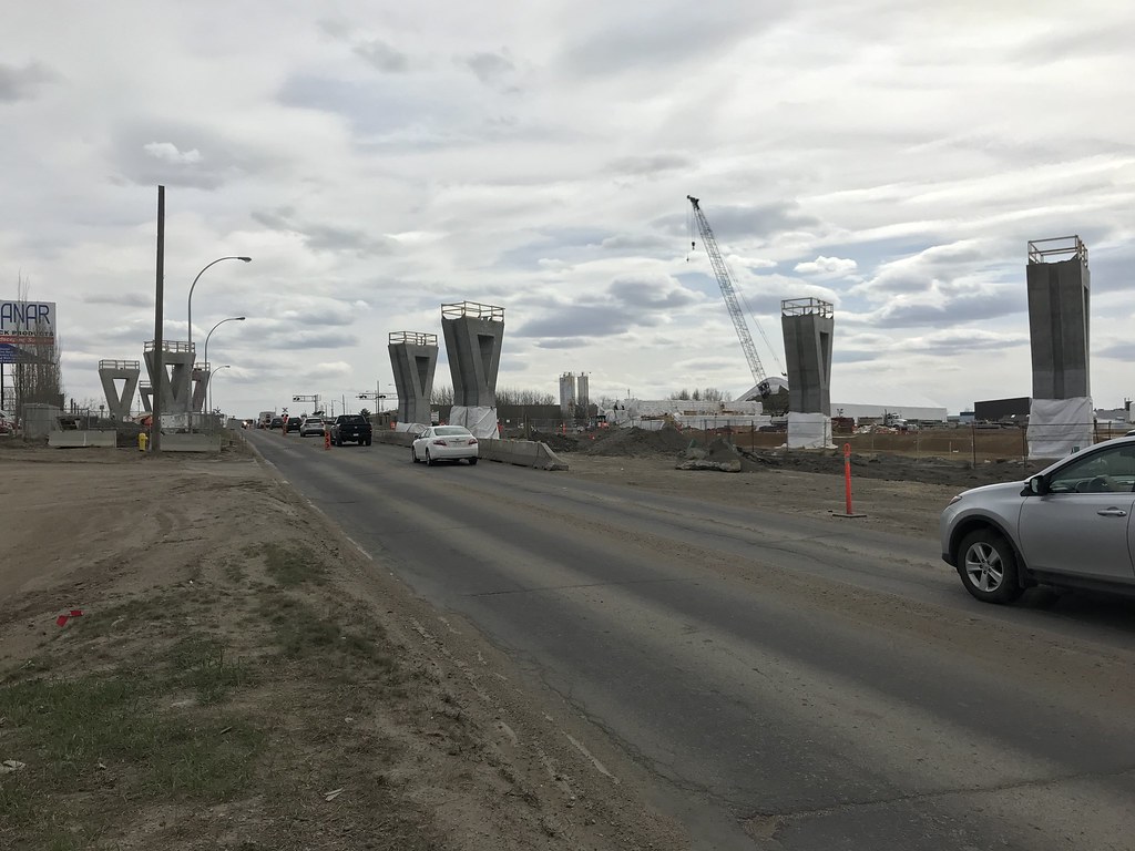
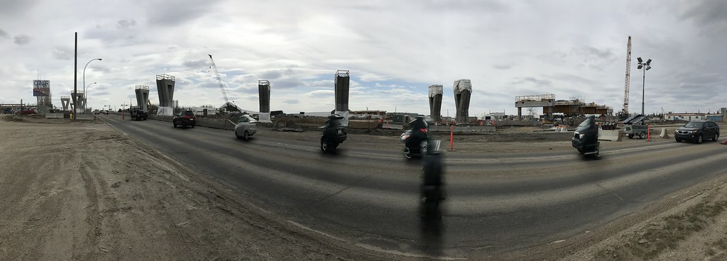
More piers are seen from Wagner Road and Davies Road.
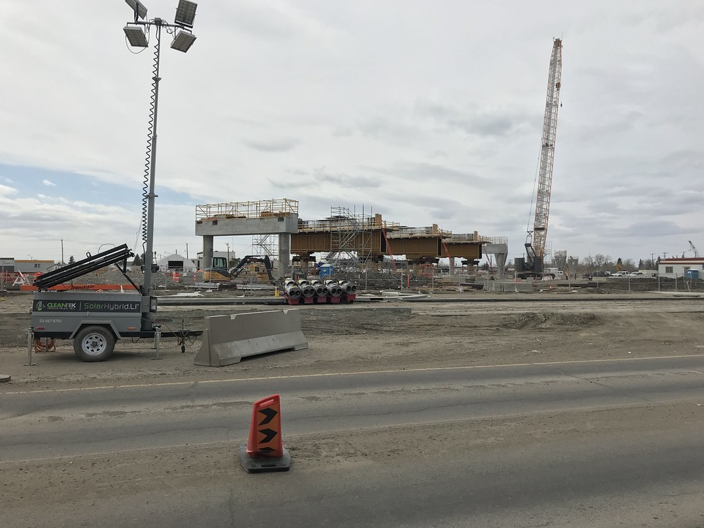
Davies Station as seen from 75 Street.
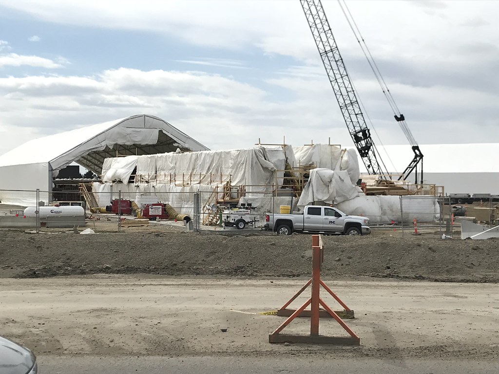
Bridge span fabrication underway at Davies Station.
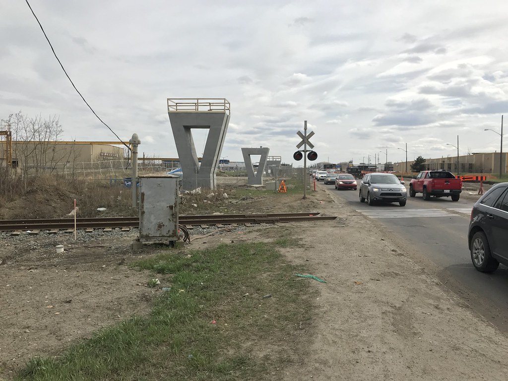
Looking south at 75 Street and CN's spur line.
chrisvazquez7
Active Member
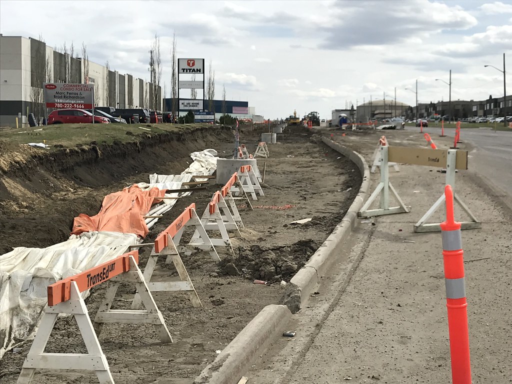
Looking south at 75 Street and Roper Road.
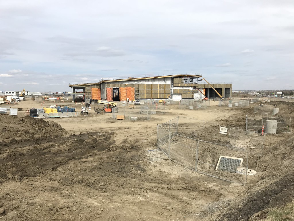
The Operations & Maintenance Facility is coming along.
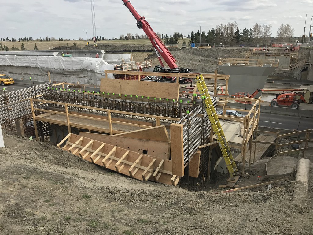
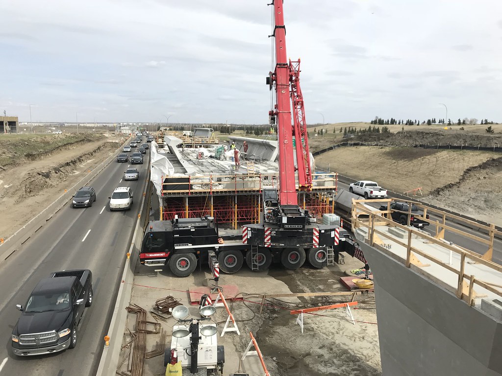
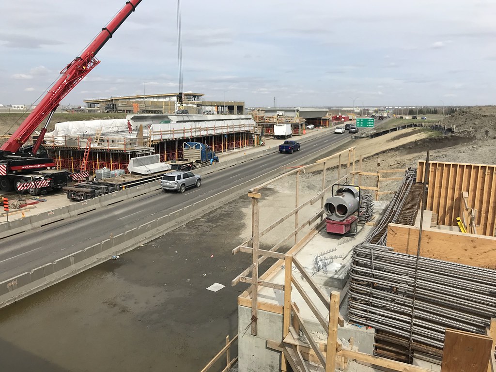
The bridge pieces are almost complete. I believe they are planning to move them into place very soon.
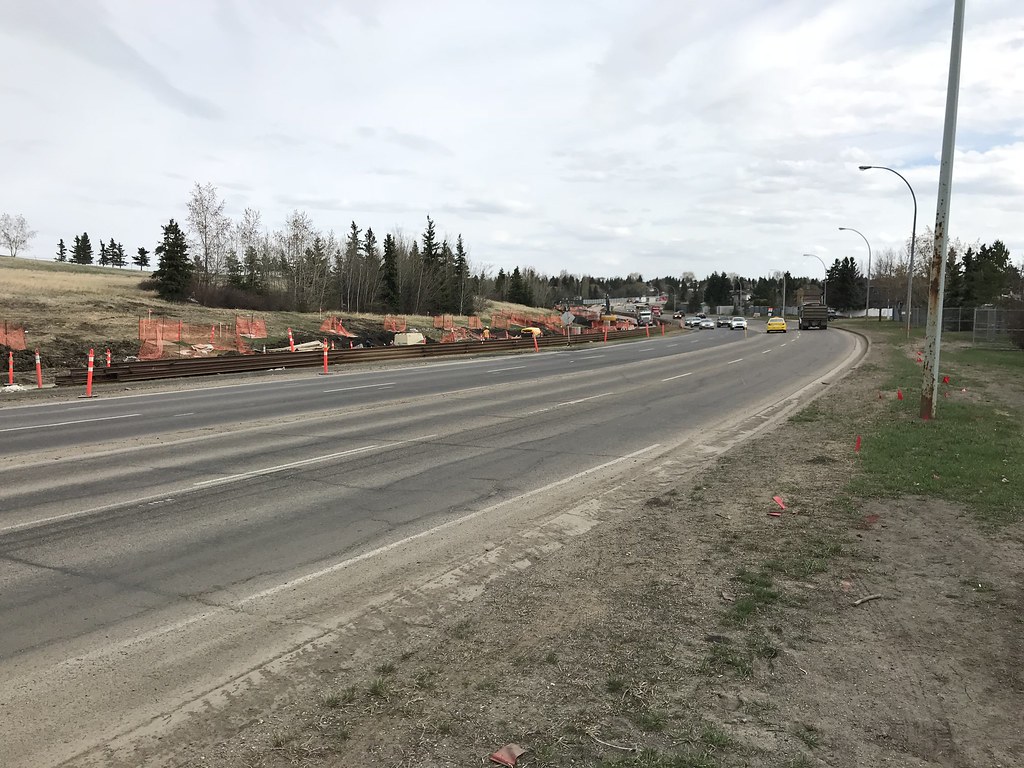
Rail just waiting to be laid!
Looking north from 38 Ave/66 St.
Looking south from 38 Ave/66 St.
Looking north from 36A Ave/66 St.
Looking south from 36A Ave/66 St.
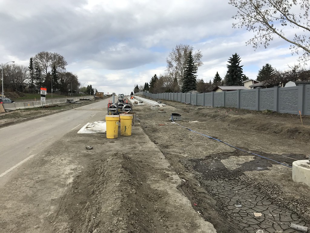
Looking north from 34 Ave.
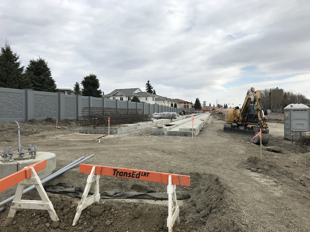
It's so beautiful......
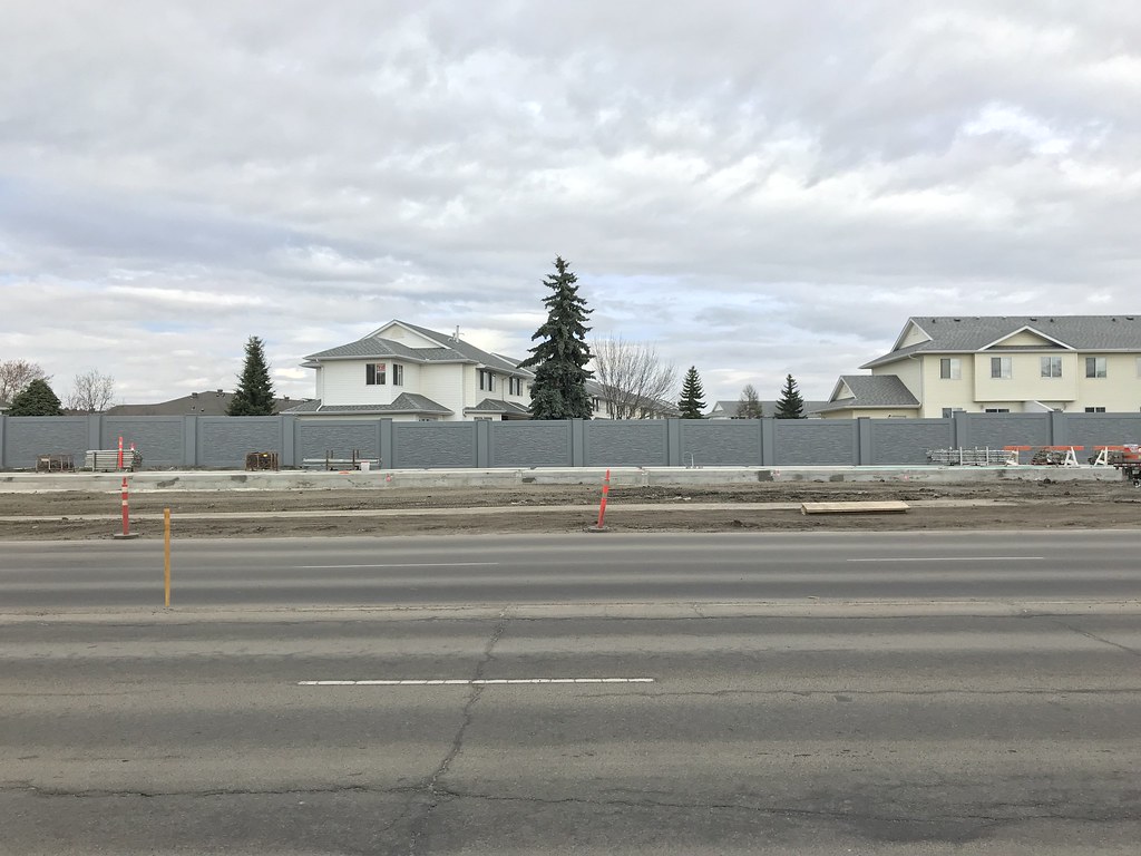
Mid-block between 34 Ave and 31 Ave.
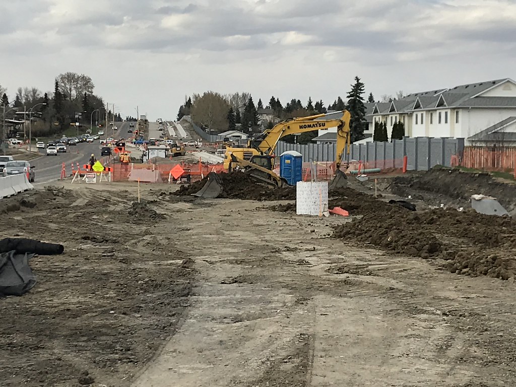
Crappy zoomed-in phone shot from 31 Ave. Shows clearly the path the LRT will take.
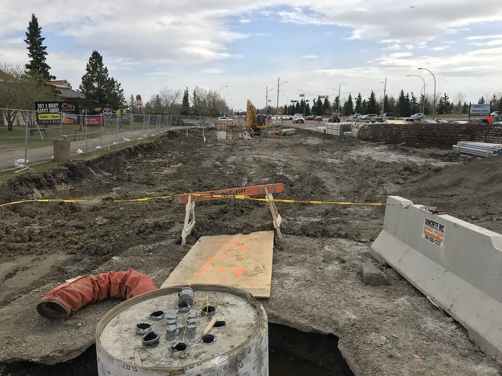
Looking south at 31 Ave/66 St.
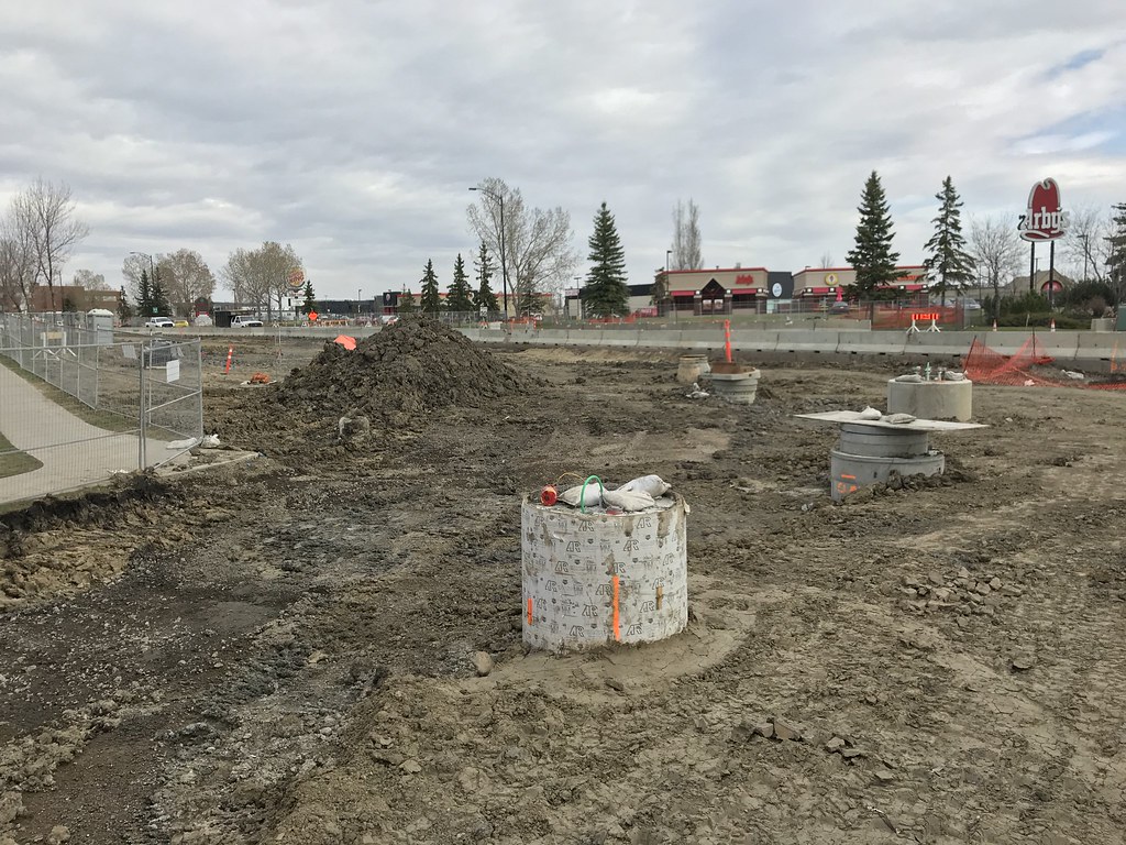
And last but not least, the curve at 28 Ave where it will turn east and end at Mill Woods Stop.
Sorry for all the photos!!
@chrisvazquez7 "Sorry?" Are you kidding me? Great tour! Can't believe you covered that much ground walking. Nicely done.
tele75
New Member
Fantastic update.
archited
Senior Member
102nd street has lost is relevance as a collector street now with 102 Ave. removed as a major car-way. Only need access to parking so 102nd street north of Jasper Ave. could become a very intensely developed pedestrian enclave.We start off at 102 Street and 102 Avenue where you can see 102 St will be dramatically narrower than it is now judging by the placement of the fire hydrant.
archited
Senior Member
Bravo @chrisvazquez7! Well Done!
chrisvazquez7
Active Member
Thanks everyone. The girders for the Whitemud bridge will be moved into place this weekend!
Alex Decoteau Stop in VR:
chrisvazquez7
Active Member
So I drove down to the Whitemud today, and the bridge is not in place. Not sure if there’s been a delay or if the city traffic disruption data was wrong.

