EastYorkTTCFan
Senior Member
I was referring to why the up express isn't on the TTC map and the TTC having the airport rocket on it.It maybe own by Metrolinx, but the City Transportation calls the shots for traffic signals. Until City Transportation changes its thinking, transit will remain 3rd class to them.
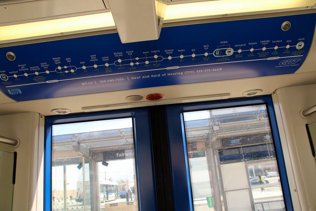
Then try riding ION system and look at the mess traffic gates kills the speed of the system.
The Green Line of Minneapolis runs very faster and a lot better than a TTC streetcar line ROW.