This way:
View attachment 687088
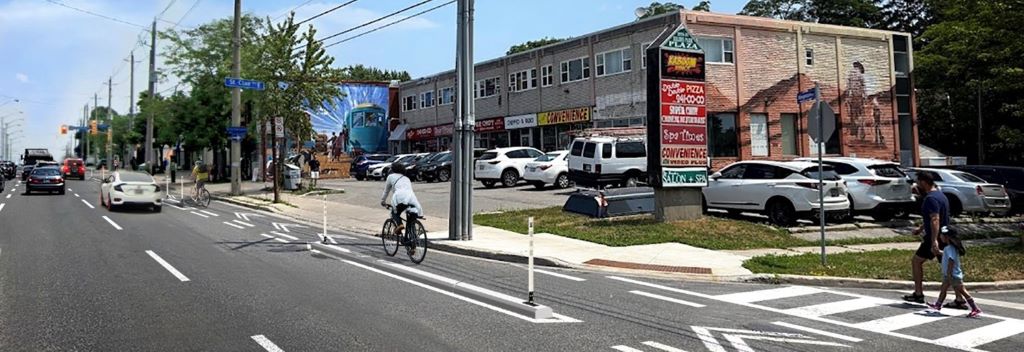
You see the concrete median beside the left hand turn lane; that is coming out. That gives you ~ 1.2M to play with.
Noting that I have not seen the roll plan for this segment. I did measure the lane widths, and there is about 1.3M of available room by cutting the lanes to 3.0M wide each That gives you ~2.5M which is pretty close to what you need.
I don't know, but suspect they may also push the north sidewalk back a bit, its public land, and it would be pretty easy to steal another 0.5M if you needed it.
The left turn lane itself can be trimmed by 0.3m as well.
****
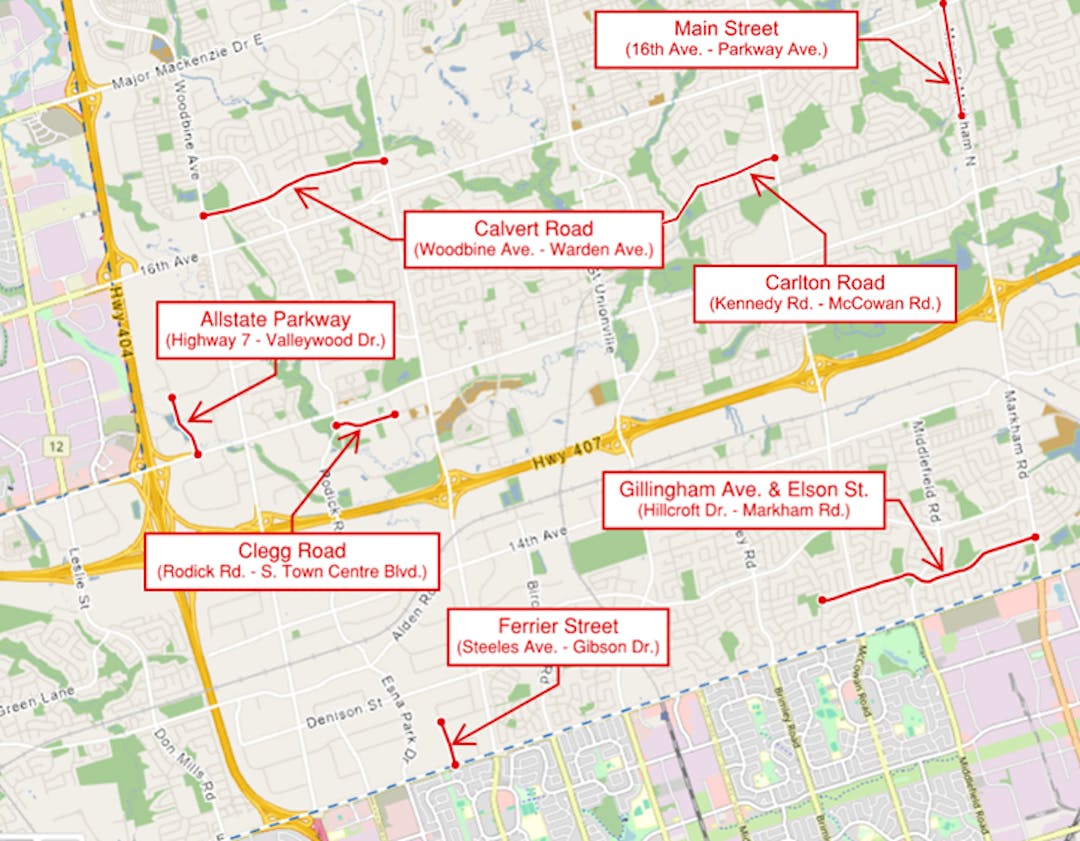
On the east side of the underpass, room can be poached from the big yellowed out centre area:
View attachment 687089
The bike lanes don't show in the above image, but I can measure curb to curb, you have ~18M of play, you require 12M to support 4x3M lanes, and 5M, more or less for 2 separated cycle tracks. Its do-able. The space is there.
You can't do the same thing on the downtown sections of Bloor which are much narrower.


")