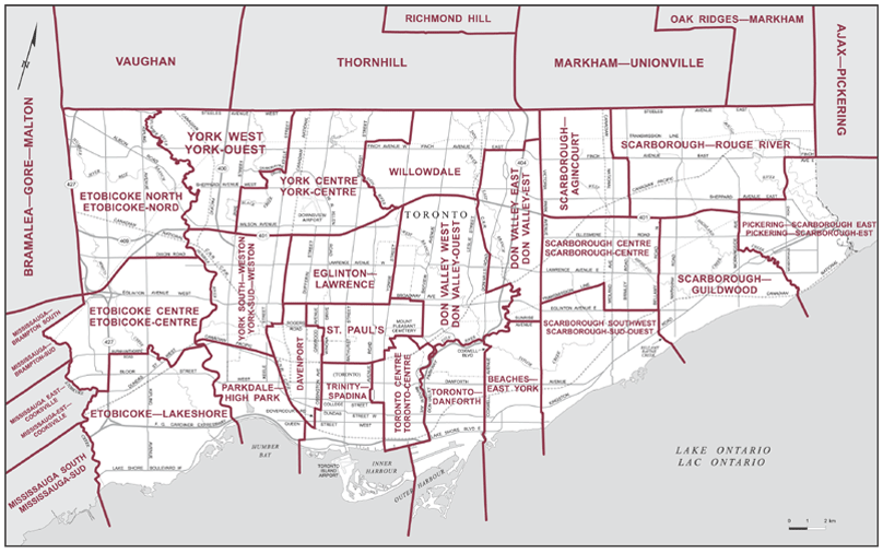
essentially the difference is that the 25 ward model is based off of 2011 census data, while the 47 ward model is based off of 2016 data. They were both relatively fair with minor differences in their time, but the 25 ward model is 5 years "older", meaning that high growth areas have had an additional 5 years to become disproportionately overpopulated.
Remember that the existing ward boundaries were equally fair when implemented in 1998 - over 20 years population changes made them very disproportionate, to downtown's disadvantage. By selecting the 25 ward model, you get a 5 year head start on that disproportionate mis-representation.


