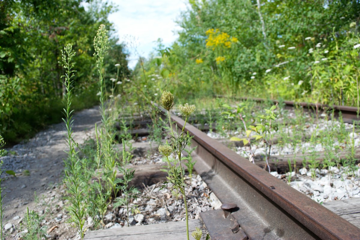
The right of way around the bay downtown has slowly been eaten away with various private and public development. Waterfront trail does not follow rail ROW exactly. Yes the rest of the ROW from just past downtown to Orillia is about 95% intact as a recreational trail. Besides some small chunks of ROW removal in Downtown Orillia, the major missing piece is in the north end of Barrie, where homes have been built on the ROW and the trail reverts to roadway to connect the disjointed parts of the trail.
View attachment 275018
I'd forgotten about the second missing section there; its not immaterial.
Its 1.7km.
Mapped out, (crudely) this is what I get:
Allendale - to easily reinstatable ROW (no need to realign road or impinge waterfront parks.) 2.9km (ROW mostly there, but trail or parking or part of one small street, but would be controversial to reinstate)
Repurposable trail - (low controversy) 1.9km
North Barrie Gap - 1.7km.
Barrie - Orillia fully repurposable trail - 30.25km
Orillia - 800 M is missing to the extent is not path or visibly public property, though, only 2 buildings actually appear to encroach on the ROW.
Orillia - Washago 13.5km mostly marked as trail or still has track except for one small section (street viewed a bit, appears to have re-wilded, only tell tale is that vegetation is shorter than surrounding)
32km - fairly easy
13.5km - easy
3.7km - some issues ( at least one expropriation, traffic and waterfront access)
1.7km - expropriation, house removal.
The bridge in DT Orillia is a bit of an issue:

 www.collingwoodtoday.ca


