thecivilengineer
Active Member
NOPE, Completely different organizations.I thought it was stated that AECON is the construction wing of AECOM which is the engineering firm.
NOPE, Completely different organizations.I thought it was stated that AECON is the construction wing of AECOM which is the engineering firm.
I just don't know if there's room there... At least east of 4th Street SE you have room on either side of the tracks for it. Saying that I don't know what the province versus Remington own.Yes. in the 2000s when Ed Stelmach was transportation minister iirc. But buying Aspen's Palliser square and selling the land they've owned as a contingency is smarter. Shall see!
If someone is willing to pay, and no assurance of the document being more legible, here is the easement and right of way plan filled by the province for the block in October of last year I believe to carve out a bit of the now consolidated Lot for the 6th St SE underpass (there are a lot of concurrent filings, I think to figure out closing 5th St SE for the arena project):I just don't know if there's room there... At least east of 4th Street SE you have room on either side of the tracks for it. Saying that I don't know what the province versus Remington own.
A part of the ongoing airport access study is about planning for something akin to a basket weave in Inglewood, which is where lowest minimum cost for airport access only (likely one track) would potentially lock in constrained capacity which would squeeze any other future service.so on the northern most track when entering downtown
Meaning it switches across the 4-5 tracks in that span and no other trains can really be using that space at that time? Or grade separation?A part of the ongoing airport access study is about planning for something akin to a basket weave in Inglewood, which is where lowest minimum cost for airport access only (likely one track) would potentially lock in constrained capacity which would squeeze any other future service.
Just connect the blue line to the airport via 60 St > Airport Trail > Barlow Trail. It doesn't have to be this hard.Trying to understand how a basket-weave for rail in Inglewood would even work.
This is what the project area for the Airport Rail Connector study looks like.
Will be interesting to see what it comes up with.
One way or the other, gonna be some big viaducts and elevated sections.
View attachment 601232
Unfortunately that isn't the greatest idea for transit north of Airport Trail, or at the airport as drumroll, the NE line is frequency constrained due to the Red Line interline downtown.Just connect the blue line to the airport via 60 St > Airport Trail > Barlow Trail. It doesn't have to be this hard.
Yes. Likely a new bridge over the Bow as well, perhaps with provisions for future expansion. The Inglewood curve ROW is wide enough for 4 tracks.Or grade separation?
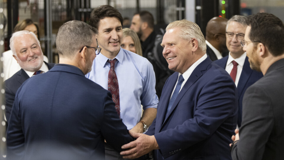
Interesting read and relevant to the Green Line discussions we have been having on here.
This is arguing for in-housing, which as someone who just went from being an out-sourced employee to an in-housed employee I can tell you should be more of the norm. Some things can still be out-sourced (a role that can be added quickly on a per project basis) but what should not be under estimated is the value of in-house expertise.Interesting read and relevant to the Green Line discussions we have been having on here.
 www.thestar.com
According to a friend, packages were in in late July. They may have included incremental options for straightening corridors, identifying which should be concurrent with rebuild, and which can be done later without service being hurt during the upgrade."According to the government source, the proposals from the private groups are in the “final stages” of assessment by the public service, and cabinet could decide by November which one is going to take part in the project."