Go Elevated or try for Underground?

  • Work with the province and go with the Elevated option

    Votes: 40 78.4%
  • Try another approach and go for Underground option

    Votes: 7 13.7%
  • Cancel it altogether

    Votes: 1 2.0%
  • Go with a BRT solution

    Votes: 3 5.9%

  • Total voters
    51
I was initially a huge supporter of the fully tunneled option but the longer time goes on the more I think surface in the beltline and a bridge over the river wouldn't be such a bad thing. If most people are like me, I think a lot of the support from the tunnel stems from the fact that 'world-class' cities have subways so therefore Green Line needs to be a subway. Also people who use the red/blue lines know how long it can take to crawl through 7th Ave and want to avoid a repeat of that.

In terms of travel times, the city of Calgary studies showed a very small time difference (less than 2 minutes if I recall correctly) between surface and tunnel so I don't think it will have that big of an impact on the ridership experience. Yes sometimes some idiot will hit the train with their car and there will be a higher chance of delays but I don't think it happens often enough to be a deal breaker.

The big thing for me though is that with a subway style system nobody is exposed to the communities they're passing through. You go underground and stay underground until you pop up at the station you were planning on getting off at anyways. For most Calgarians this will be the 7th Ave station. By putting Green Line on the surface (except for the North-South portion under CP and the major downtown arteries) you are exposing 60,000 riders daily to the beltline and Eau Claire areas. People who would otherwise never use those stations or even see the areas if a tunnel was used will see the shops and restaurants and the streetscapes and be tempted on a daily basis to hop off the train and explore. Patrons waiting at these stations in off-peak hours will be out in the open exposed to the community which I think will help improve the perception of safety. (Ever been at City Hall station in the evening with a bunch of unsavoury characters? Now take the same situation and put yourself alone on the platform one story underground).

Calgary hasn't done surface LRT integrated into communities very well in the past but a quick glance at pretty much any European city shows it's possible. If the difference between whether or not we build Green Line Stage 1 comes down to surface LRT versus tunnel not only do I think I can live with it, I think it might actually be an improvement.
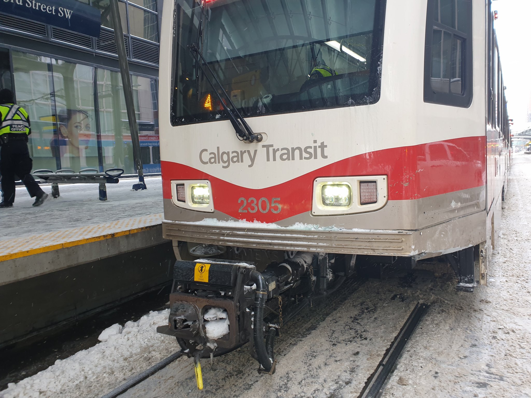
 
Nobody is getting off the train because they are exposed to the community it goes through, this is an option for commuters and we need to look at this as the best way to get the most commuters from the suburbs into the inner city. Having this run at grade will affect traffic times, train times and will have an increased cost due to the instances of people or cars having accidents with the train. Lets also keep in mind that they have to close the train down on almost every long weekend in the summer to do maintenance on the tracks due to the exposure to our weather cycles. Burying the train solves those issues and helps future proof it. If we aren't going to have the train run underground, then elevate it, there will still be maintenance costs but you won't have a train stopped in the intersection for 2 hours because some dipshit ran a red light and got t-boned by the train. Running at grade through the downtown is amateur hour, and this city should be far beyond that.
 
If the geometry works, a surface station in Eau Claire has the potential to save something like $100 million bucks alone, savings that can be plowed into the awful geology between 9th and 6th. I'd like it to be exclusive ROW from there to east of Macleod Trail. This is a 86 M curve, below mainline recommendation, but whatever way above the absolute minimum of 35m, and about the same as the S curve cross 16th Ave in the NW. It would allow 155m for elevation gain between the end of the tracks and 1st Street SW, which at 6% grade is enough for 9.3 m of top of rail elevation changes. Rail height of 5 m below ground (more than the absolute minimum to cross under the tracks) to 4.3 m above. 1st Street SW only has a clearance of 3.8m under the tracks, so still have 50 cm for structure and rail to play with under the top of rail.

215790
215791


This would be my preference for a 'cheap' option. Replace one underground station with at grade (Eau Claire), and one with elevated.
 
Last edited:

The Green Line project team has blown past every deadline that they have set, usually without explanation or rationale. If the preferred alignment is too expensive, they have years of analyses of all the alternative options that were not picked. They've been signaling for a while that the Bow crossing will need to be a bridge to save money -- this was studied for years. They have already looked at more or less every Beltline alignment. How hard is it to pull those binders off the shelf, X out the deep all-underground tunnel, and ask council to pick again?
 
The problem is those years of studies were bound by ‘path dependencies’ - previous decisions that limit your investigation. So if you find new important information you need to go back and look again. Besides the 2006 downtown study there wasnt a huge amount of work on which North north corridor should be used. The more recent ones you had deep versus super deep versus elevated since council had advised before hand to do all possible to not disturb the surface.

these choices cost a lot. By looking at different options where cost control is the overriding effort we can find different solutions.
 
From what I’ve heard from those involved in the project, the entire thing is a complete fiasco. I don’t think the City is capable of executing it in house - they should really just P3 the whole thing.
 
From what I’ve heard from those involved in the project, the entire thing is a complete fiasco. I don’t think the City is capable of executing it in house - they should really just P3 the whole thing.

Regardless of the contracting model, the owner still needs to define the basic scope of work, which they have not been able to do.
 
Regardless of the contracting model, the owner still needs to define the basic scope of work, which they have not been able to do.
Depending on how much control you’re willing to give up, you do not need to have made many decisions. What you need:
  • a rough corridor within 500m, and major destinations decided with required service within a certain distance
  • A targeted ridership (either pax, pax over certain arbitrary lines, or pax miles)
  • A targeted travel time including waiting tine for different times of the day (you can even do without this since ridership is a partial function of travel time f you want even more flexibility)
  • And for some future proofing: a strategy of how the line will handle 3,4, 5 times the ridership in the future
And you need a lot of information:utility maps, willingness to give up road space, land ownership, a boat load of geotechnical.

by using a process called technical dialog, let’s say we wound back 3 years: we contract 3 companies and they start design and their bids. As the process unfolds they all present different solutions to the identified problems. And as the process goes, then the city chooses the best overall solution at the best price for that solution.

I like this - a few questions...

- how do you provide "a boat load of geotechnical" across a 500m wide corridor at all relevant depths? One of the issues that has come out earlier this year is that the chosen alignment had bigger geotechnical challenges than was imagined when the route was selected. If we couldn't figure out the geotechnical risks along one alignment, how would we figure out the geotechnical risks along all possible alignments? I suppose one answer is a smarter technical team, and another is a technical team more willing to speak the truth rather than waffle when they encounter problems. Still seems hard?
- how do you do discovery of community preferences/tradeoffs? Do all 3 design-build groups speak to community groups and affected landowners independently and try to weigh their interests? Or is the city sort of acting as an engagement subcontractor on behalf of the designers to feed this back? I will say, whatever the City is doing on engagement isn't working - they spend years determining that everyone would love a deep tunnel that disturbs no one's local interests, so no hard choices are made until it's clear it costs too much.
Through competitive dialog as your partners get closer on their corridors, you drill, you drill on all three. Since it isn’t about reducing risk to the city directly, it is about derisking for your partners, you can always ensure you have the right amount and the right locations to convince your partners they can manage risk. And yes! It is all about trust: to work well together you need to present everything, warts and all. The benefit is you don’t need the same level of technical people in house or as consultants to help you do this-the partners tell you what they need so you avoid the mismatch and you know early if there are problems.

The engagement the question is: what level is needed. Aesthetic engagement for station locations is a late stage thing that can be done directly by the contractor. Design engagement to bring in local knowledge I think can be left up totally to the contractors: if they think it is useful to show community support; do so—if they think they can save a bit by incorporating local knowledge (usually quite true!) they would do so . Most consultation led by the city should be spent on defining the not normal scope type thing, and explaining how this process is different and what to expect.

And you’ve hit the nail on the head. They ended up creating a path dependency where they were ignoring a primary constraint. A usual problem when you don’t have a good process designed by your policy people at first OR don’t have a leader who has a ‘natural’ vision of the check list to get to approval and contract signed (from experience). We were counting on the second and didn’t have it.
 
If the geometry works, a surface station in Eau Claire has the potential to save something like $100 million bucks alone, savings that can be plowed into the awful geology between 9th and 6th. I'd like it to be exclusive ROW from there to east of Macleod Trail. This is a 86 M curve, below mainline recommendation, but whatever way above the absolute minimum of 35m, and about the same as the S curve cross 16th Ave in the NW. It would allow 155m for elevation gain between the end of the tracks and 1st Street SW, which at 6% grade is enough for 9.3 m of top of rail elevation changes. Rail height of 5 m below ground (more than the absolute minimum to cross under the tracks) to 4.3 m above. 1st Street SW only has a clearance of 3.8m under the tracks, so still have 50 cm for structure and rail to play with under the top of rail.

View attachment 215790 View attachment 215791

This would be my preference for a 'cheap' option. Replace one underground station with at grade (Eau Claire), and one with elevated.

Sorry, I'm late to this conversation.

I have to respectively disagree with you. I think it would be better if we spent a bit more money and build the Green line properly the first time.

You're right in the sense that surface stations are better from an urban design perspective. However; I think it's more important to maintain a faster travel time from Mckenzie so that the LRT is a more competitive option for commuters living in the SE than driving to downtown.

The delay in funding is disappointing to say the least, however I think this would be a reasonable way to play the cards we've been handed:

Stage 1:
-4th street to Shepard
-Storage facity
-Build as per original plan

Stage 2: (Once provincial money comes in)
-4th street to Eau Claire
-Completely grade separated as per original plan

I'm probably in the minority here, but I always thought the inclusion of 16th Ave station in stage one was kind of silly. Yes, the north cross-town BRT would drop people off at the station, but ridership would remain ridiculously low until the north line reached 96th ave.

I am very concerned that the split of the line, pressure to deliver a new alignment/tunnel options will result in a not well thought out centre section and a over-built SE section. Along the SE there are bridge sections that seem to be future-proofing for an imagined road expansion for the next 50+ years beneath them for example: https://engage.calgary.ca/greenline/78ave . Surely a narrower grade separation span is cheaper?

Meanwhile the inner city alignment is being squeezed for every dollar and is taking all the political heat. Some possible changes are good (shallow cut-and-cover vs. 7 storey deep tunnels) but others a worrying - reduction in grade-separation in areas with huge conflicts now, not just in 50+ years. Other worries are the creation of more sterilized parcels due to not ideal tunnel portals locations. We can't build central libraries all the time to cover these undevelopedable areas up.

I have said this before, but cheapest option is to take road capacity away and give it to a dedicated LRT right of way and not replace it with road expansion. My equation for LRT projects:

Maximize LRT's share of right-of-way + minimize grade separation to critical points (e.g. the core) + hold total right-of-way constant everywhere possible

I have seen minimal discussion publicly that the project considers reallocating road space (without also expanding the road through a bunch of expensive property acquisitions) at the scale that actually makes a difference. Past history also has makes me worried. When push comes to shove (where the Green Line is right now) every LRT improvements over the years in this city has come with road expansions attached.

I like to think we are smarter - especially if we are trying to save money - but I don't see any signs that this project will be deviate from that path with all the potential cut backs in the core section on the transit side while the road side sees few sacrifices (or even has expansions).
 
Oh, I think you misunderstand and I wasn't the most clear. South the CPR the track and stations would be elevated. Eau Claire at grade.
 
Sorry, I'm late to this conversation.

I have to respectively disagree with you. I think it would be better if we spent a bit more money and build the Green line properly the first time.
The problem is that it's not a bit more money, and where previous choices made to build the Green Line "properly" has already increase its construction costs to upwards of $9 billion. The City can no longer afford to build the Green Line properly, it probably can't even afford to build it improperly.

I'm probably in the minority here, but I always thought the inclusion of 16th Ave station in stage one was kind of silly. Yes, the north cross-town BRT would drop people off at the station, but ridership would remain ridiculously low until the north line reached 96th ave.
It was needed to maintain the fiction that the Green Line was still a City-wide project and to give hope to North Central communities and politicians that savings and new funding could be found to continue building up Centre Street after 2026. Especially when the primary reason for the Green Line skipping the BRT stage was that LRT was needed on Centre Street N soon.

But not surprisingly (given the incompetence shown by the Green Line team ), Stage 1 now needs more cost cutting and value engineering just to build something downtown. If 16th Avenue gets cut next, I'd expect Gondek to burn the whole Green Line house down.
 
Last edited:

Back
Top