CBBarnett
Senior Member
Love all these plans and ideas!
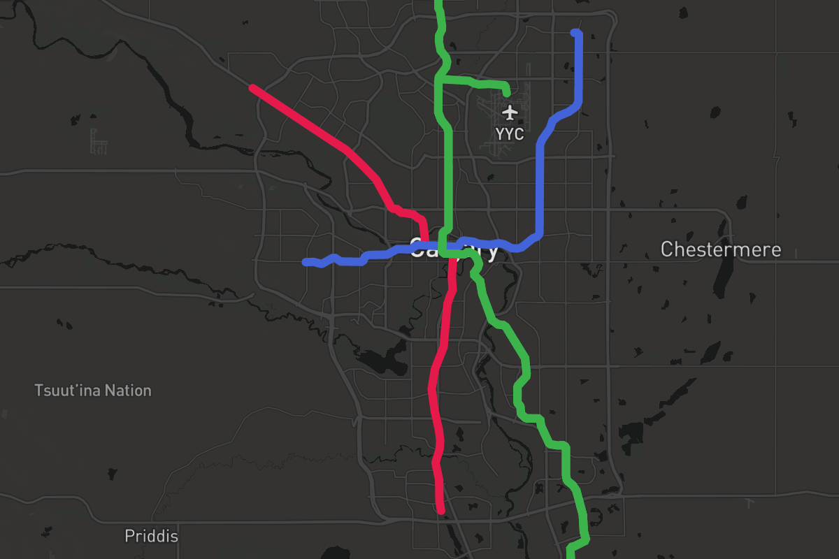
Why does everyone always skip Chinook Centre though? It's the 9th largest mall in Canada currently. Chinook has got to be the single most popular destination south of downtown in the whole city - it already is the centre of a hub of activity today.
I've always thought a Chinook - Rockyview Hospital - MRU / Currie - Richmond Road 37th Street - Westbrook line would be killer. Add a more ambitious extension over the river to hit Foothills - University District - Market Mall - Dalhousie Red Line and you'll boost system ridership about 100%. It all starts with Chinook as the regional anchor as it already is.
For that matter, I don't really get why the existing MAX routes didn't try to hit it Chinook - maybe the bus circulation are tricky around the Chinook LRT / Glenmore interchanges?
Whatever the case surely a fantasy maps we should figure it out!
 I feel like if we had a more solid regional strategy for infrastructure development, like this, developers would move on our next layer of bedroom communities.