News   GLOBAL  |  Apr 02, 2020
 8.4K     0 
News   GLOBAL  |  Apr 01, 2020
 39K     0 
News   GLOBAL  |  Apr 01, 2020
 4.7K     0 

Couldn't they keep the roadway underpass and just add at-grade crossing(s) for pedestrians and cyclists? Best of both worlds?
Yes, but it isn't, is it?
Pedestrians and cyclists are some of the most vulnerable people out there.
Nice overpass for people and bikes, built into a good MUP.
 
  • Like
Reactions: God
If I have to choose between adding a grade seperation at a needed LRT/road intersection or removing a grade seperation, I will pick choosing the add grade seperation option all the time.
 
If they move the Northlands station one block north as planned, then the stops on the north and south side of 118 (under the bridge) would no be longer required. The sidewalks could be raised to make the commute easier. Just a thought.
1639756235620.png
 
Last edited:
Could one post a Google Map pic of the new and relocated LRT stations around Northlands please?
 
Isn't there a CN rail ROW on that same bridge?
yup. I learned that my summer working for the city doing landscaping. the City maintains stuff around Coliseum TC, but CN maintains (or doesn't maintain, we had issues with noxious weeds in their area spreading onto city property) parts of the 60'-80' wide area of gravel and tracks currently filled by the LRT. idk about ownership, what CN owns currently, what they want to retain into the future, etc, but yeah, they are responsible for some of that bridge and its environs at least.
I think it wouldn't be a stretch to expect CN to sell off their holdings on/around the bridge to the city. they've given up space further south for the MUP, and pulled up all their tracks to 66th street. the grain elevators are gone, and there's pretty much nothing industrial left along the corridor that might want rail access/a spur line or anything of the like. My layman's eye can't see any reason for CN to retain that ROW for any reason other than being territorial.
 

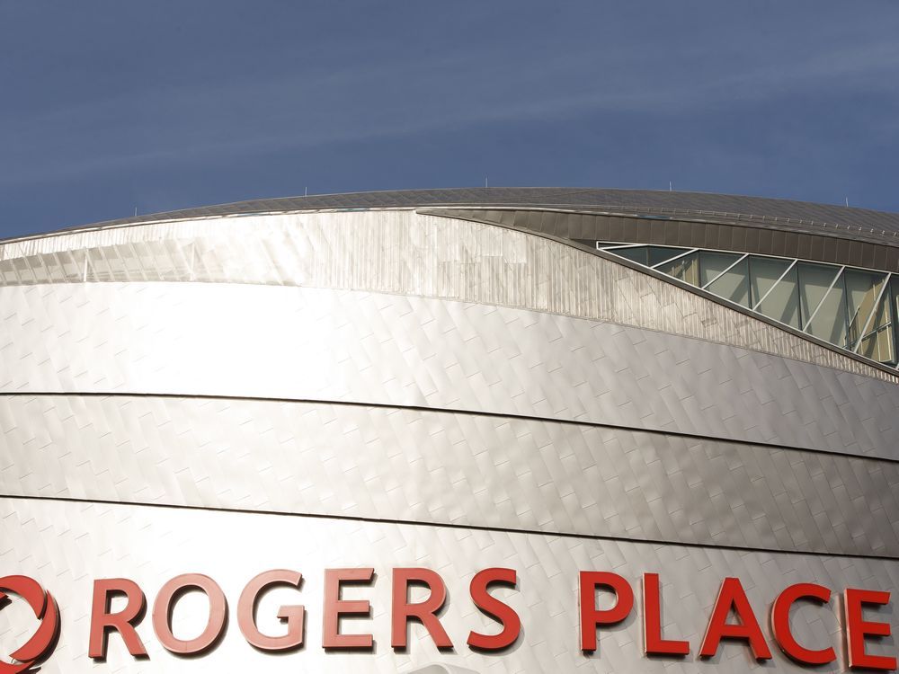
As I travel back and forth on the LRT to the Citadel Theatre and the Winspear Centre for my volunteer duties, I often encounter Oiler fans heading to the games. More often than not, I notice their confusion as to what train to take to Rogers Place and where to get off.

I sympathize with these folks as they study the map located on each LRT car. Nowhere on these maps does it indicate where Rogers Place is located. Nowhere does it give them any idea as to where to get off.

Sure, they see where the vacant downtown Bay store is situated. As well, they are shown where to go if they want to visit the now-empty Coliseum. But nowhere on the map is the location to Edmonton’s most major downtown attraction, that being Rogers Place. I’m baffled by this. But it does explain, to some extent, the minds of those behind our problem-plagued transit system.


David Wolkowski, Edmonton
 
I think part of the concern is not wanting everyone to get off at the macewan (rogers) stop. There's a multitude of stops people can use...bay, Churchill, macewan, VL Churchill or 102 Ave soon.

So I think instead of only renaming one (which would still make sense probably), they should add a marker of some kind to signal which stations can be used for rogers. Then we should have great Wayfinding within stations and at LRT exits at street level.

Our small tourism sector definitely shows vs bigger cities where they designed their downtowns with visitors in mind.
Yeah, that is the conundrum. First of all the MacEwan stop doesn't have the capacity to handle everyone at Rogers and second, many people are traveling on the Capital Line. It is just as easy or better for them to get off at Bay Station.

So, we could call it Bay Station/Enterprise Square/Rogers Place, which is also a bit too long, and/or we could call it MacEwan/Rogers Place which could drive people to a station that is not best suited for everyone.
 
I think that a downtown map on the PedWay/Wayfinding network would be a great help. Have the downtown map with the 95-109 Street-River Valley-106 Avenue boundary, along with LRT/trams, bike routes, arts and entertainment, parks, shopping, dining, business, education and recreation.
 
Last edited:

Back
Top