News   GLOBAL  |  Apr 02, 2020
 8.8K     0 
News   GLOBAL  |  Apr 01, 2020
 40K     0 
News   GLOBAL  |  Apr 01, 2020
 5K     0 

Wow, I know we love our cars here but I didn't think it was that crazy of a number.
Mexico wasn't included in the North American number so that would move the needle on public/active transportation - but it really highlights US/Canada.
Have to keep in mind the size of our countries although at the same time the large majority of people live in cities.
 
I can believe most of those numbers except motor scooter loving Southeast Asia.

According to the Canadian 2016 Census, 12.4% took transit, 12.1% carpooled, and 6.9% walked or cycled.
 
City will publicly release 2025 and 2026 active transportation network routes on May 30.
I’m 9/10 nervous for this. Please be good. Please don’t be paint. Please don’t be sharrows. Please don’t be 90% temporary so nickel type populist boys rip them out next council (see Vancouver losing multiple bike ones recently as reason to be afraid…)

We’ve pumped our tires to all the urbanist influencers, The War on Cars just dropped an episode about us. Let’s not let them all down by over promising and under delivering.
 

*groan*

Why do news outlets constantly run these types of stories against anything that remotely challenges the supremacy of the automobile?

Genuinely want to become a writer for EJ so I can write about car-centric infrastructure in the EXACT same way they write about public transit and cycling projects. I'll make sure to put the most random anti-car citizen's opinion at the very start of the article, too!

"The 132nd Avenue renewal project aims to convert the road from a wide, imposing 5-lane race track lined by 12 schools into a 2-lane main street for the area, with a design that supports people in getting around using higher efficiency modes like walking and cycling, all while still being accessible for cars. Instead of guzzling gas and parking their 5-ton machine to go anywhere, the design may encourage people to get in-touch with their local area by walking or cycling to visit local businesses, friends, and neighbors."
 
I’m 9/10 nervous for this. Please be good. Please don’t be paint. Please don’t be sharrows. Please don’t be 90% temporary so nickel type populist boys rip them out next council (see Vancouver losing multiple bike ones recently as reason to be afraid…)

We’ve pumped our tires to all the urbanist influencers, The War on Cars just dropped an episode about us. Let’s not let them all down by over promising and under delivering.

Multi use (shared) pathways can be considered permanent and that is the most common type of infrastructure in the city now and will likely be in this announcement, too, in terms of overall km of the network.

It was announced earlier this year when outlining the 2024 routes, which are expected to start construction next month, that the overall plan is about 60 routes totalling 86km. And it was announced then that none of the separated routes (which wiĺl make up some of the 2025-26 plan) will be permanent infastructure due in part to cost and the accelerated approach the city is taking. So it can be argued there is a risk to some of the planned separated routes - it remains to be seen where any potential traffic/parking changes may be to this newly planned network. Overall, though, by the end of 2026, the bike network will have an additional 86km integrated within it. And that doesn't include projects like 132 Ave or filling in pieces like 100Ave between 109-116st, which are part of neighbourhood renewals.

Cost-wise, it was shared earlier this year that traffic light installation/updating is a significant cost overall along with the seperated infastructure pieces, shared path construction, additional bike parking and operations.
Tbh, the 86km of temporary bike lanes/MUP for 100mil is pretty tough to swallow. Temporary should be way cheaper, or we should be getting permanent.

Only saving grace I can see is if this includes a bunch of intersections too. But I can’t imagine temporary bike lanes are doing much to intersections?

We strangely have fallen waaay behind much more car centric cities (LA, ATL, Houston) due to our lack of intersection bike infrastructure. We basically have 85% of our network as MUPs that dump you into crosswalks with 0 indicators/protection for bikes (paint, concrete, etc).

2D2EB15B-345F-4641-9E43-20DDD11789CE.jpeg
D3B55B8A-389E-43BB-BB64-0A40CD997BD8.jpeg
BD683F13-9A7E-4FF2-9882-85D4AD22BB6F.jpeg
 
The issues with confusiing beginnings and ends, missing middles, etc. is not unique to Edmonton. A lot of municipalities are behind on biking infrastructure, and a few examples of the safe and shiny bicycle corridors in other cities is not going to translate to the rest of that city. Tour any given city on Google Streetview and look at what cyclists have to deal with.

City of Vancouver is ahead as I watched them actively put in bicycling infrastructure from 1993 to 2015. They had time. Up to the mid 90s it was mostly shared use paths, mid-90s onward they developed all these on street non separate bike paths that work really well, and mid-2000s the separate on street bike paths started with Hornby St, so they've had many years to refine their network. In this timeline, we're approximately where Vancouver was in 2009. In 2009 Vancouver certainly had gaps and unrefined ends in their network. The seawall abruptly ended at Coal Harbour, Off Broadway bike route was undefined to the point where I found it easier to ride on Broadway and it's way better now. Continue to push City of Edmonton for improvements and help them identify what doesn't work but have patience with them. 15 years from now, Edmonton will be an even better cycling city.
 
Can check out the planned routes for 2024, 25 and 26 and interactive map here.
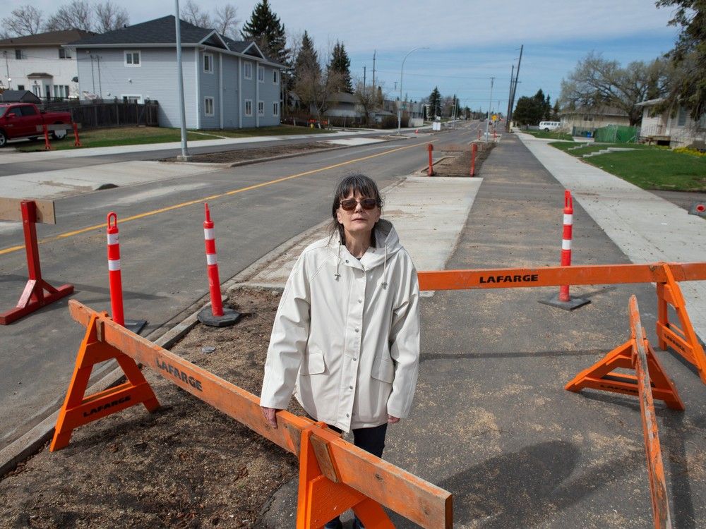

Planning and design for the 2025 routes is underway. A total of 25 routes are currently planned for 2025, developing approximately 28 km of the network. The proposed routes include:

North

119 Avenue from 50 Street to Wayne Gretzky Drive

55 Street from 118 Avenue to 119 Avenue

64 Street from 118 Avenue to 119 Avenue

71 Street / 121 Avenue from 119 Ave to 121 Avenue

Wayne Gretzky Drive from 116 Avenue to 119 Avenue

118 Avenue from Wayne Gretzky Drive to 78 Street

70 Street from 112 Avenue to 113 Avenue and 113 Avenue from 69 Street to 70 Street

110 Avenue/90 Street from 90 Street to 112 Avenue and 112 Avenue from 90 Street to 76 Street

114 Avenue from 81 Street to 89 Street

92 Street from 119 Avenue to 124 Avenue

96 Street from 119 Avenue to 124 Avenue

124 Avenue from 89 Street to 107 Street

127 Avenue from 97 Street to 102A Street

103 Street / 102 Street from 103 Avenue to 105 Avenue

113 Street from 105 Avenue to Kingsway Avenue

Kingsway Avenue from 113 Street to 122 Street

111 Avenue from 106 Street to 121 Street

Victoria Park Road from 116 Street to River Valley Road

69 Avenue / Wolf Willow Rd from 178 Street to Westridge Road

107 Avenue /136 Street / 106 Avenue from 163 Street to Groat Road

South

Wagner Road from 75 Street to 86 Street

72 Avenue from 98 Street to 100 Street and 100 Street from 72 Avenue to 83 Avenue

Gateway Boulevard / 61 Avenue from 63 Avenue to 106 Street

31 Avenue / Youville Drive West from 66 Street to 34 Avenue

28 Avenue from 48 Street to Youville Drive West
 
Design for the 2026 routes is anticipated to begin in early 2025. A total of 17 routes are currently planned for 2026, developing approximately 27 km of the network. The proposed routes include:

North

64 Street from 119 Avenue to Yellowhead Trail

Jasper Avenue from 84 Street to 102A Avenue

148 Street from 95 Avenue to 104 Avenue,

104 Avenue from 142 street to 149 Street and 144 Street from Stony Plain Road to 107 Avenue

95 Avenue from 142 Street to 163 Street

163 Street from 87 Avenue to 95 Avenue and from Stony Plain Road to 107 Avenue

167 Street / 169 Street from Whitemud Drive to 87 Avenue

184 Street from 100 Avenue to Stony Plain Road

South

50 Street from 101 Avenue to Goldbar Park Road

106 Avenue from 50 Street to 84 Street

79 Street from 76 Avenue to 106 Avenue

85 Street from 93 Avenue to 98 Avenue

93 Avenue / 82 Street / 94 Avenue from 85 Street to 75 Street / 94b Avenue92a Avenue / 86 Street / Alley from Connors Road to 85 Street

89 Street from 76 Avenue to Connors Road

88 Avenue / 93 Street / 87 Avenue from 85 Street to 96 Street

84 Avenue from 79 Street to 83 Street93 Street / 84 Avenue from 89 Street to 82 Avenue
 

Back
Top