Cambry Ardship
Active Member
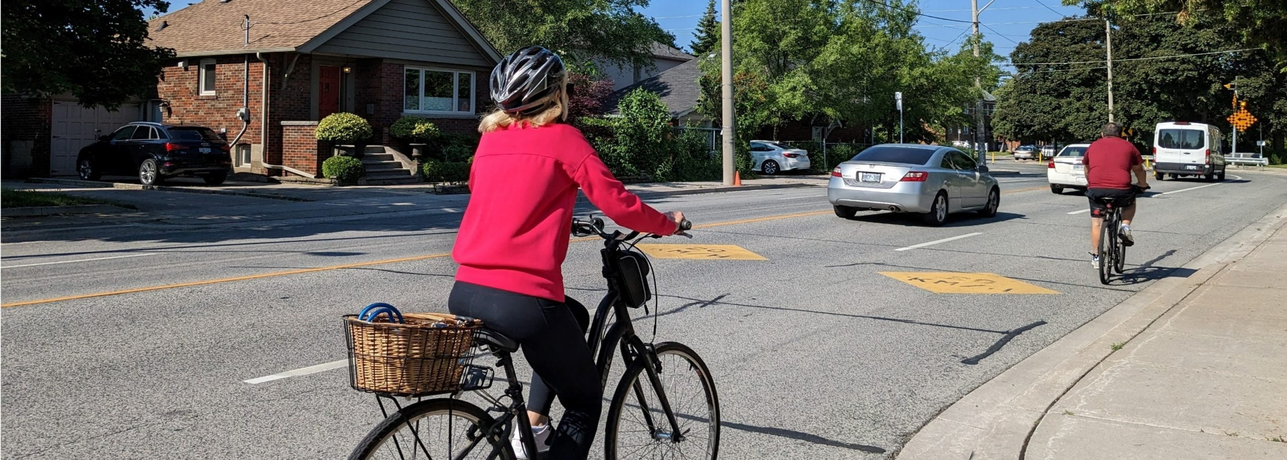
Over the past couple days I've biked on both sides of Eglinton from Mount Dennis to Leslie, 12 km each way. I used the road lanes in all cases where bike lanes weren't available.
My takeaways:
My takeaways:
- The biking conditions are currently very poor and felt extremely dangerous in much of the way. The cars were the most unpleasant bit. The worst sections, subjectively, were westbound between Bathurst and the Allen, both ways between Caledonia and Keele, and both ways between Mount Pleasant and Bayview.
- Even the separated bike lane section was shorter than I thought it would be. I found myself thankful for even the brief Metrolinx bike lane stubs that often emptied suddenly right into traffic.
- The centre section around Yonge with the separated bike lanes had by far the most people biking (and had the best, most consistent infrastructure). Other than that section, I encountered very other few people biking.
- It will be a fantastic bike route if separated bike lanes are built throughout, but it is currently too disjointed and inconsistent to recommend as a route other than for people living just west of Yonge.