News   GLOBAL  |  Apr 02, 2020
 8.9K     0 
News   GLOBAL  |  Apr 01, 2020
 40K     0 
News   GLOBAL  |  Apr 01, 2020
 5.1K     0 

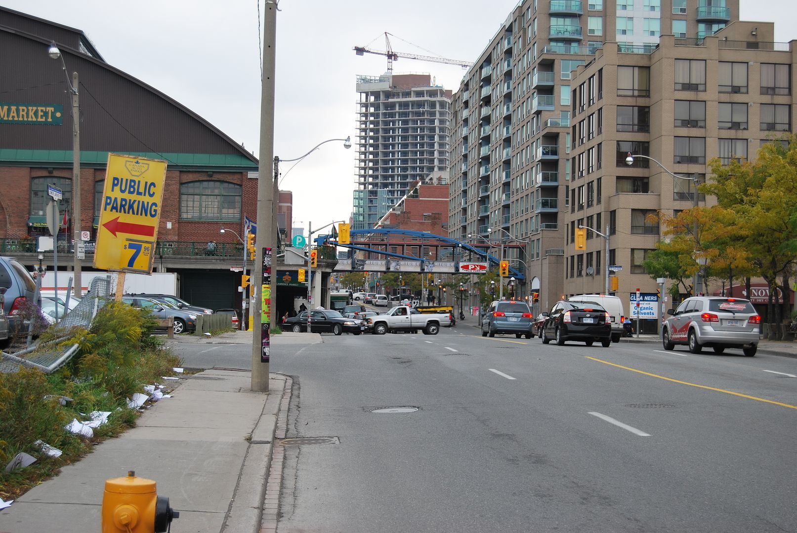
Basically, the whole stretch from the Keating Channel to the Cherry Street subway under the tracks. I first noticed it years ago while driving along Lakeshore. Every time I came to that stretch I noticed an overwhelming aroma like cat urine. The mystery was solved for me when I found that British American Oil wwwebsite Mustapha mentioned earlier.

Info on the environmental situation there can be found on pages 8, 9 & 10 of this report:

http://www.trca.on.ca/dotAsset/25749.pdf

Ya no kidding. It absolutely stinks down there but until I now, I had no idea what the cause was.

Thanks for that information and many thanks for the PDF!
 
Last edited:
waterfront oil storage

Originally Posted by wwwebster:
"I walk past Cherry and Lakeshore twice every weekday, and you can still smell the petrochemicals, which are floating on the watertable about two metres below the ground."
-------------

That area of Lakeshore was once used for massive oil storage facilities
- see attached aerial photo (1967).
I've often wondered about the clean-up that will be required for the proposed "Olympic Village" and housing developments.
 

Attachments

  • Docklands aerial 1967 oil storage.jpg
    Docklands aerial 1967 oil storage.jpg
    57.8 KB · Views: 331
December 15 addition.


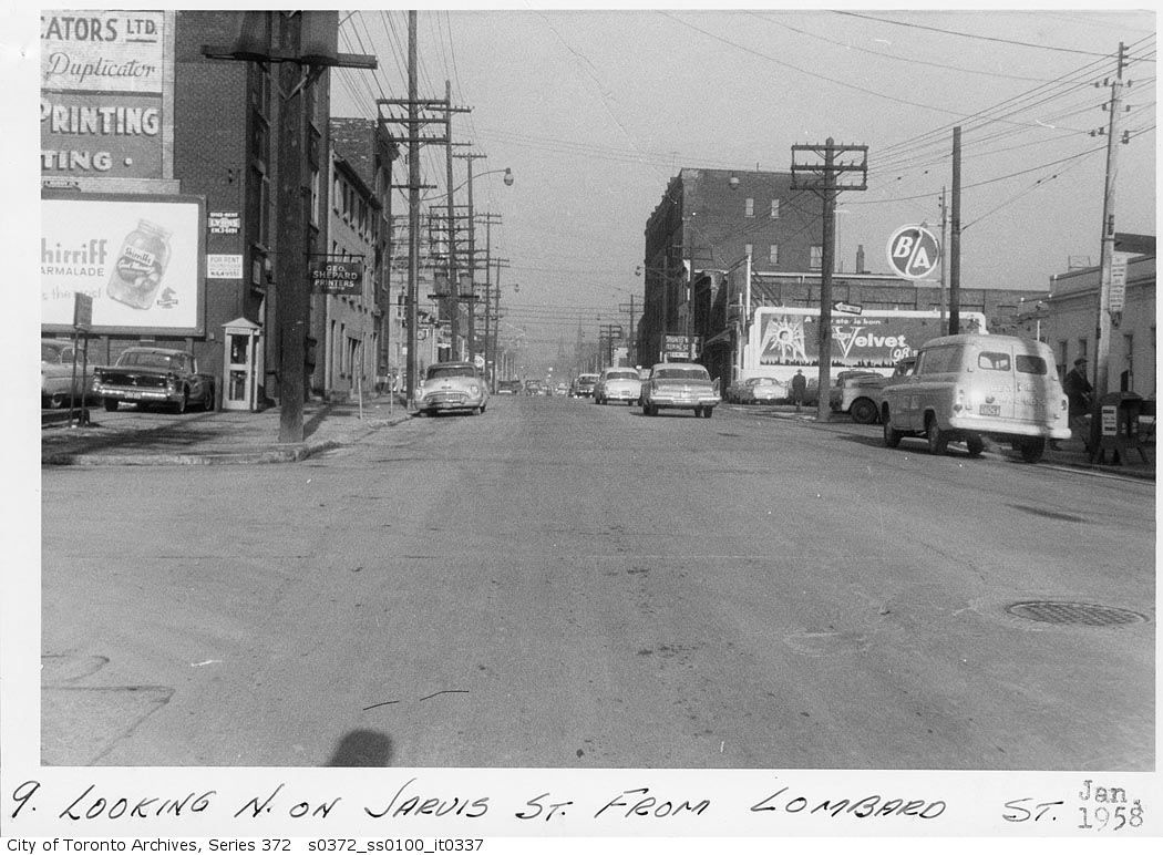
Then: Jarvis looking N from Lombard. January 1958.

There's been a gas station on that NE corner for quite some time now. A "BA" then, now a Petrocan.

ser372_ss0100_s0372_ss0100_it0337.jpg

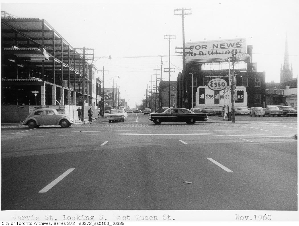
Notice that the gloomy brick building in the background (was that Fred Victor Mission, too?) was being replaced by the quasi-present Fred Victor Mission premises a couple of years later
ser372_ss0100_s0372_ss0100_it0335.jpg

(quasi-present, in that it, too, received a total rebuild/makeover 30 years later, into its present look)
 
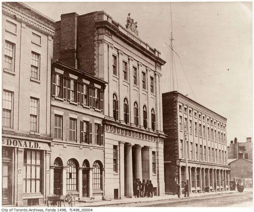
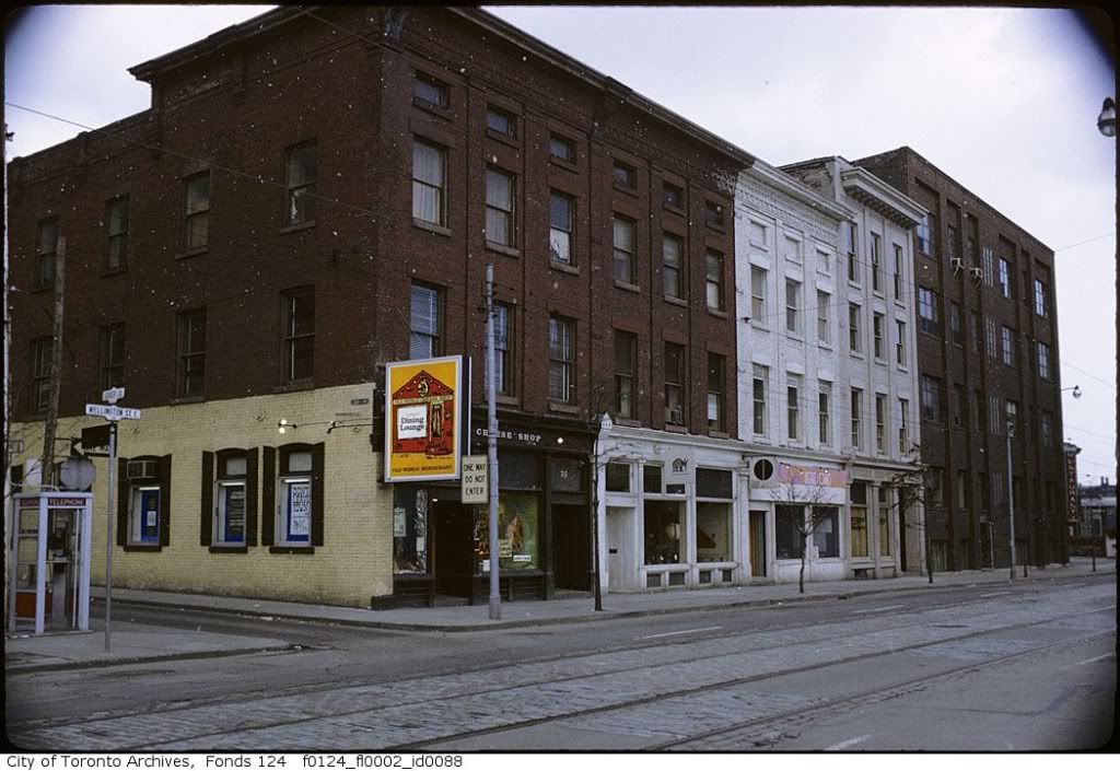
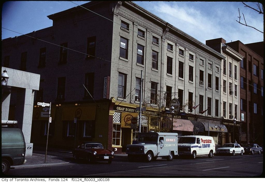
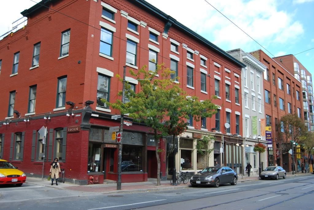
And if you'll indulge me, I'll add the "pre" picture form 1856. Note that the 12-window block east of Leader Lane is intact, though the easternmost building (gray and white in the current photo) added some height:

04wellingtonexchange1856jy5-1.jpg


leaderlane1.jpg


leaderlane2.jpg


leaderlane3.jpg

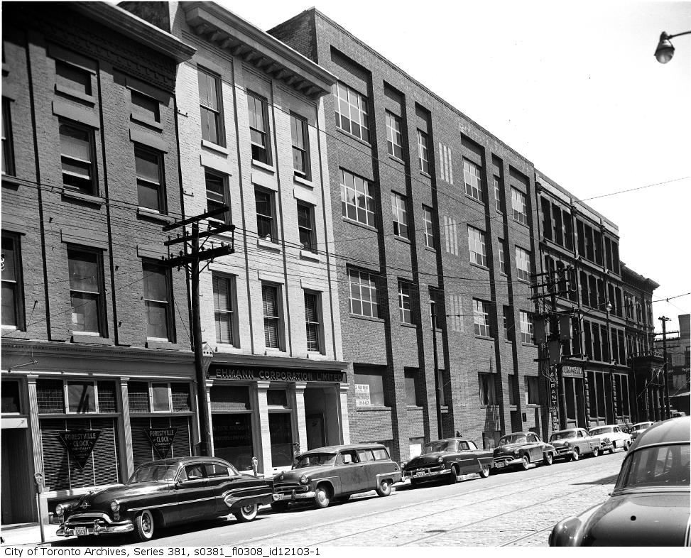
Here's another one to slip in, labelled in the Archives as "Urban Development", showing Wellington East intact to Church Street, including the Bank of Toronto building on the corner. Dated June 14, 1954:

wellingtoneast.jpg
 
Once again I'll ask this question...

Obviously Wellington was a two-way street at this time. What happened to the traffic when it reached the Five-point intersection at Church? How was this intersection controlled safely? On a green light, some Westbound Front traffic would go on Front and some to Wellington, but the Eastbound Wellington traffic would be crossing the Front traffic as it did so.

Front was two-way and Wellington was two-way... I don't get this and I'm too young to remember it that way.

From other pictures I've seen, there was no special traffic light as complex as the ones we have today. Does anyone know? I am curious.

wellingtoneast.jpg
 
The original Stock Exchange, the Bank Of Toronto; what an unfortunate loss for these two blocks of Wellington East.


December 16 addition.


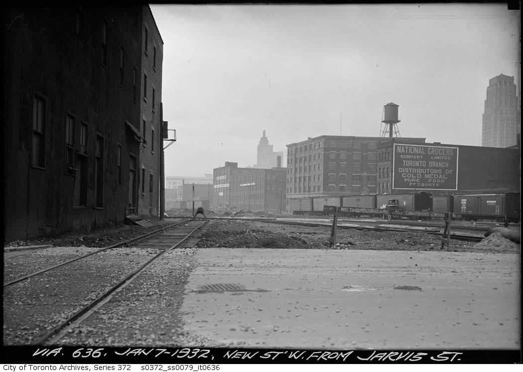
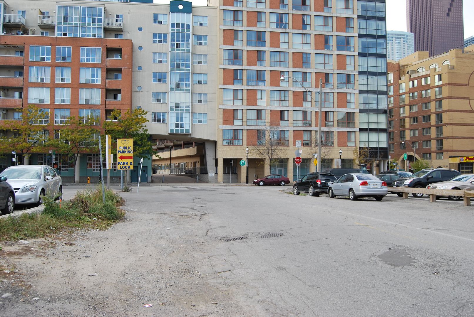
Then: January 7, 1932. Looking NW at the Esplanade from the corner of Wilton and Jarvis. The photo says 'New' street, and it might have been at the time, but the modern sign here on the corner says 'Wilton' now. Strangely enough, a section of Dundas street was named Wilton before widening and conjoining into the modern Dundas street we know today.

ser372_ss0079_s0372_ss0079_it0636.jpg


Now: October 2009.

DSC_0012.jpg


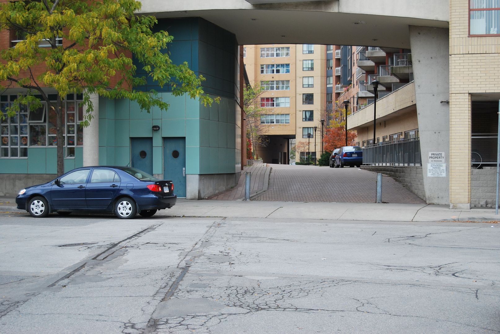
The Esplanade was a waterfront area, and docks, warehouses and railways were here. Occasionally one can find evidence, such as these tracks to nowhere.

DSC_0002.jpg


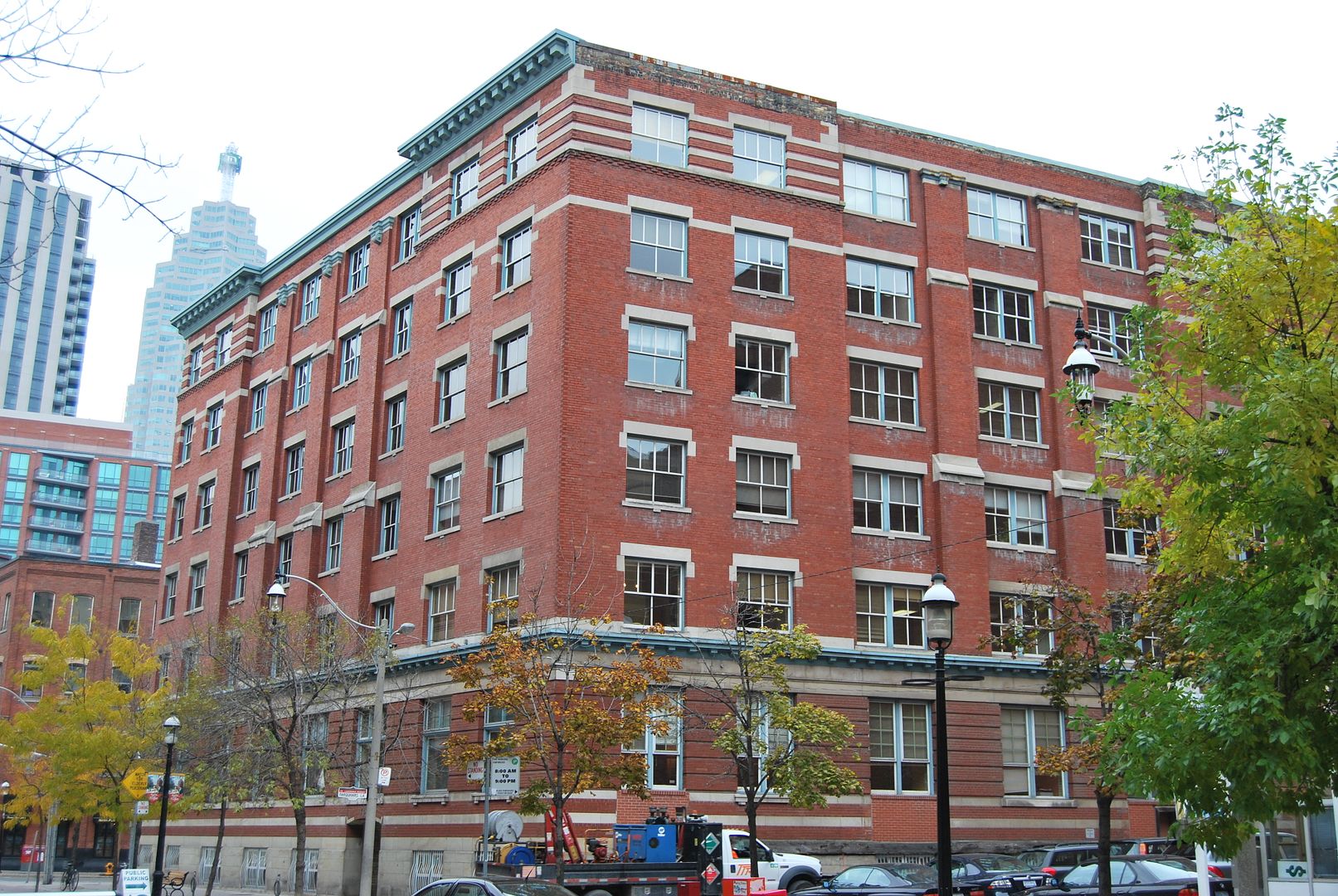
In my 'Then' photo above, this building can be seen in the distance, now blocked from the original photographers perspective by a condo. She's still here, scrubbed up and giving sterling service.

DSC_0001-1.jpg
 
That is a nice building. My 3 year old loves to hang off the bars covering the basement windows.


My kiddies enjoyed the Old Spaghetti Factory and then a walk through the market on weekends. A market walk after 2pm when the crowds thinned was always a weekend highlight for them.


December 17 addition.


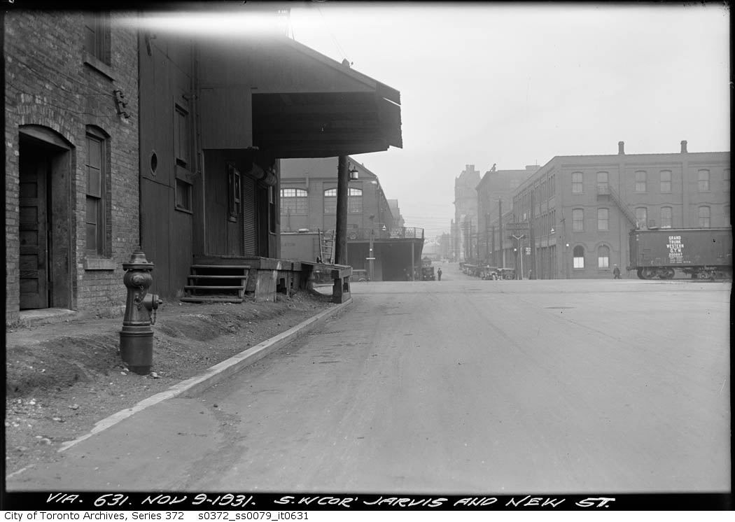
Then: November 9, 1931. A mile or so to the north, the finishing touches were being placed on Maple Leaf Gardens for its opening. I have a neighbour who remembers attending a game that first year.

Another view from our 'New' Street, this time looking north.

ser372_ss0079_s0372_ss0079_it0631.jpg


Now: October 2009.

DSC_0003-2.jpg
 
Let's leave the central core and go uptown a bit..

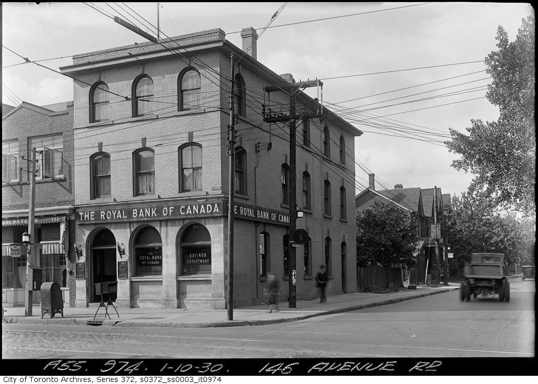
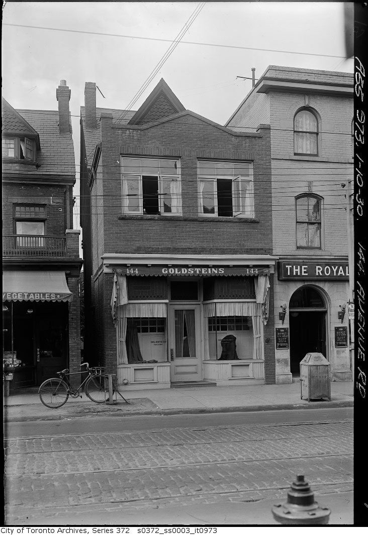
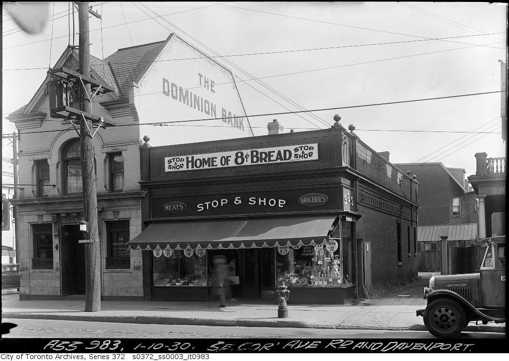
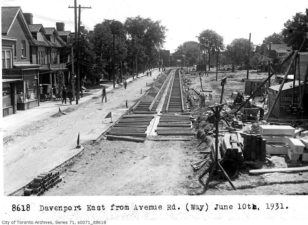
Then: Davenport and Avenue Road, looking at the SW corner. Davenport was widened in the early thirties. The intrepid city photographer was sent to document what was to be demolished. The old buildings shown would be located about where the south sidewalk and east bound lanes are now.

http://www.toronto.ca/heritage-preservation/pdf/heritagedistrict/3-9_Davenport_Road_Analysis.pdf

Then: October 1, 1930.

ser372_ss0003_s0372_ss0003_it0974.jpg


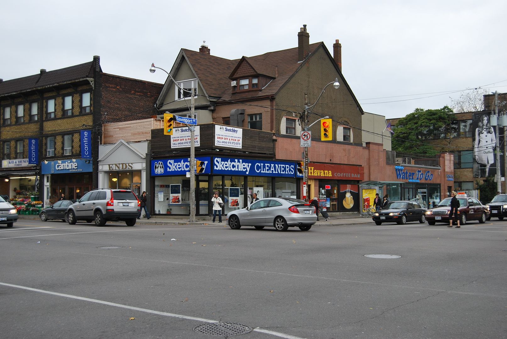
Now: October 2009.

DSC_0016-1.jpg

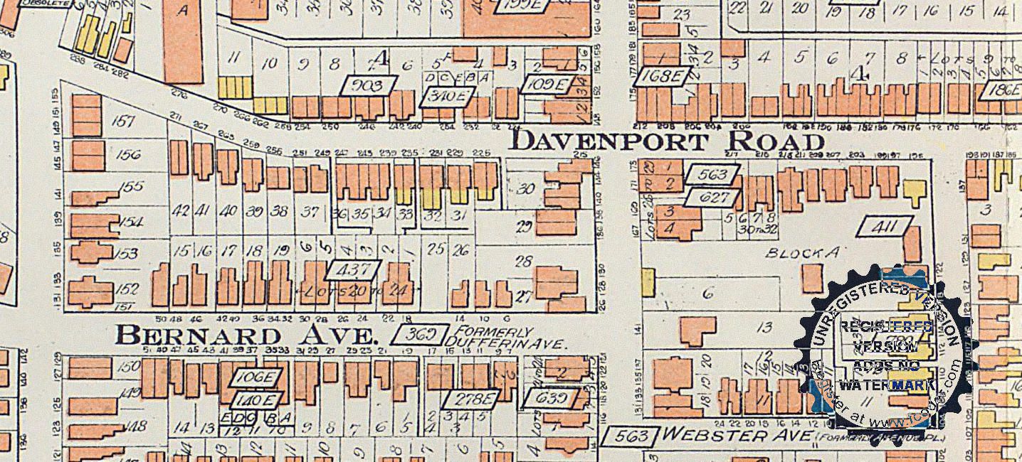
Very interesting. If one looks at the 1910 Goad Atlas, it would appear that the houseform building behind the storefront on the present corner, is the one labelled 140 Avenue:

AvDav1910.jpg


Which is the house with the awning with the "vegetables" signage:

avdav1930.jpg
 
Directly across the street, the SE corner of Av & Dav, other buildings lost in the widening (and TD has still maintained a presence!). It's quite amazing to consider the number of houses demolished through road improvements such as the Davenport widening, the extension of Bay Street to Davenport and the linking of Davenport to Church:

avdav2.jpg
 
Food for thought: the replacement for said Dominion Bank was by John Lyle--demolished in the 1980s (though the very Lyle-esque reliefs were incorporated into the midrise replacement)
 

Back
Top