west_end_kid
New Member
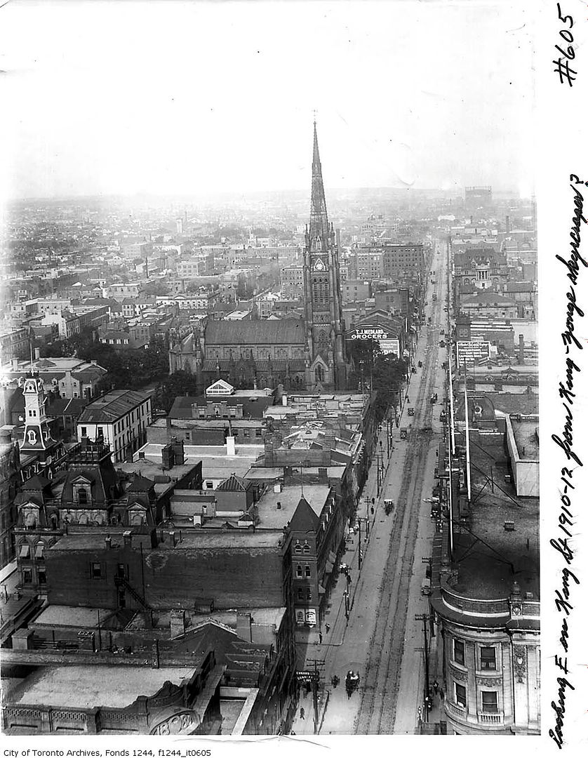
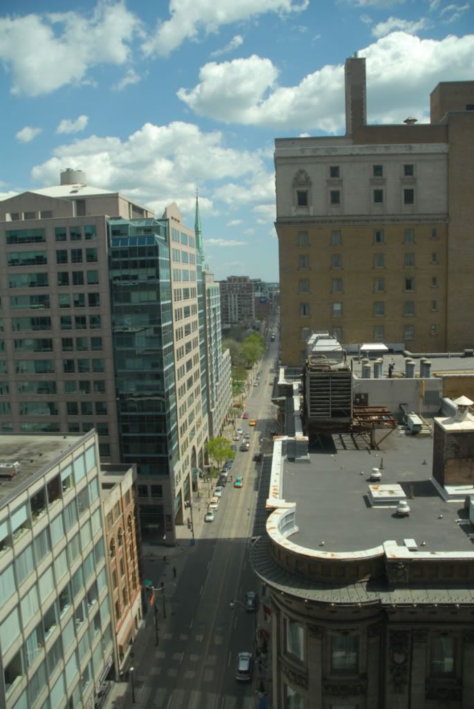
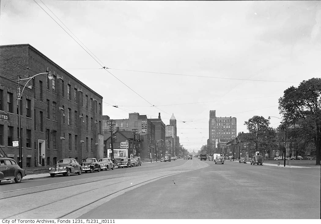
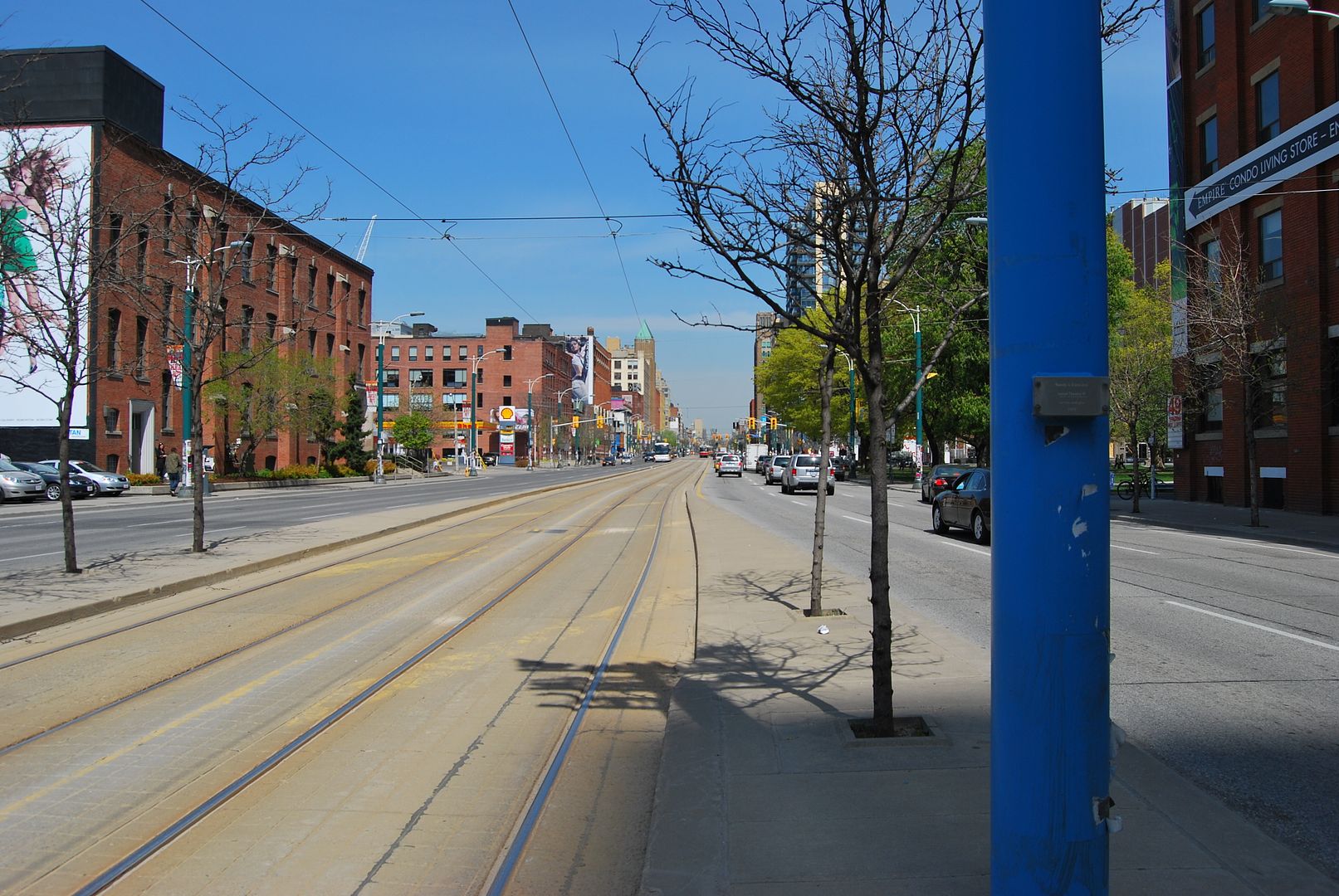
This is my first then/now post. I took the first picture of Yonge & Front in 1977 and the second in 2010. The building in the center was called 'The Film House' which has since had a sizeable addition added to the top.
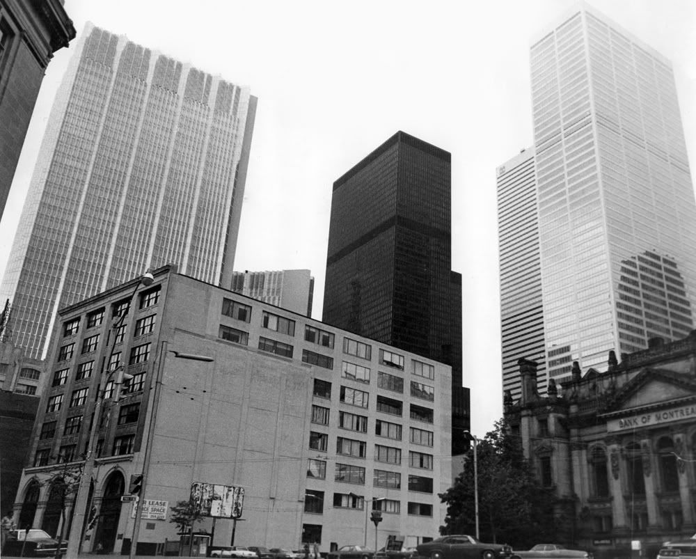
Front & Yonge - 1977
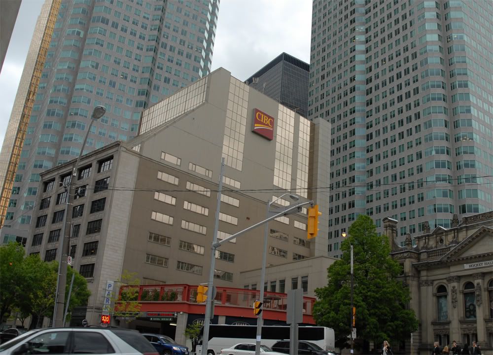
Front & Yonge - 2010
Front & Yonge - 1977
Front & Yonge - 2010
")