This 1965 photo from the series 'Bloor-Danforth subway from the air' shows St. James Town construction in mid-stream. The two buildings across the Don valley are also under construction.
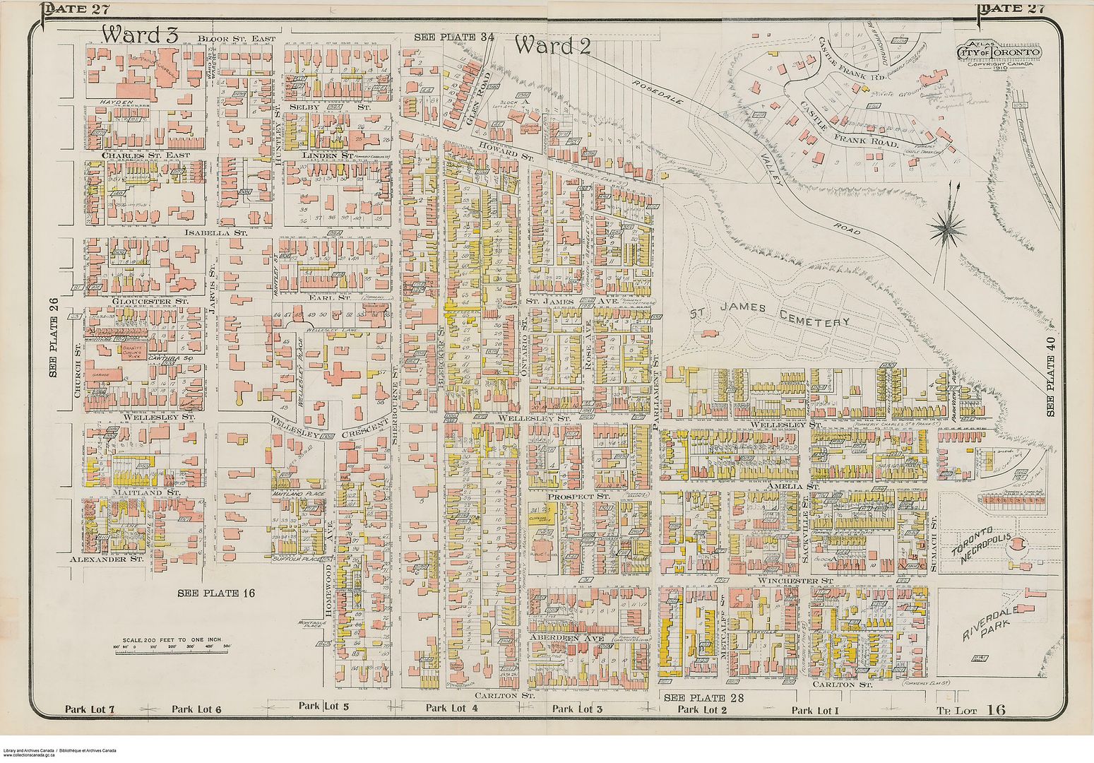
Anna: What a great picture! It's interesting seeing the block bounded by Bloor, Parliament, Howard and Sherbourne largely intact. I know that there have been some previous threads about this block (particularly focused on the boarded up Glen Road properties), but I'd like to post a few pictures that trace the decline of Howard Street starting with the construction of the Bloor Street Viaduct.
Prior to the construction of the Viaduct, Howard Street was a main route to east downtown (and across the Don Valley off of Winchester) connecting Bloor to Parliament via both Sherbourne and Howard. It was also a solid middle-class suburban neighbourhood, close to the mansions of Sherbourne St., connected by the Glen Road bridge to the leafy enclave of Rosedale, yet just south of the city limits, almost semi-rural given the ravines to the north and east.
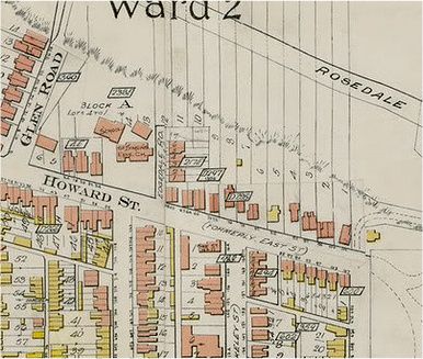
1910:
Howard Street 1910:
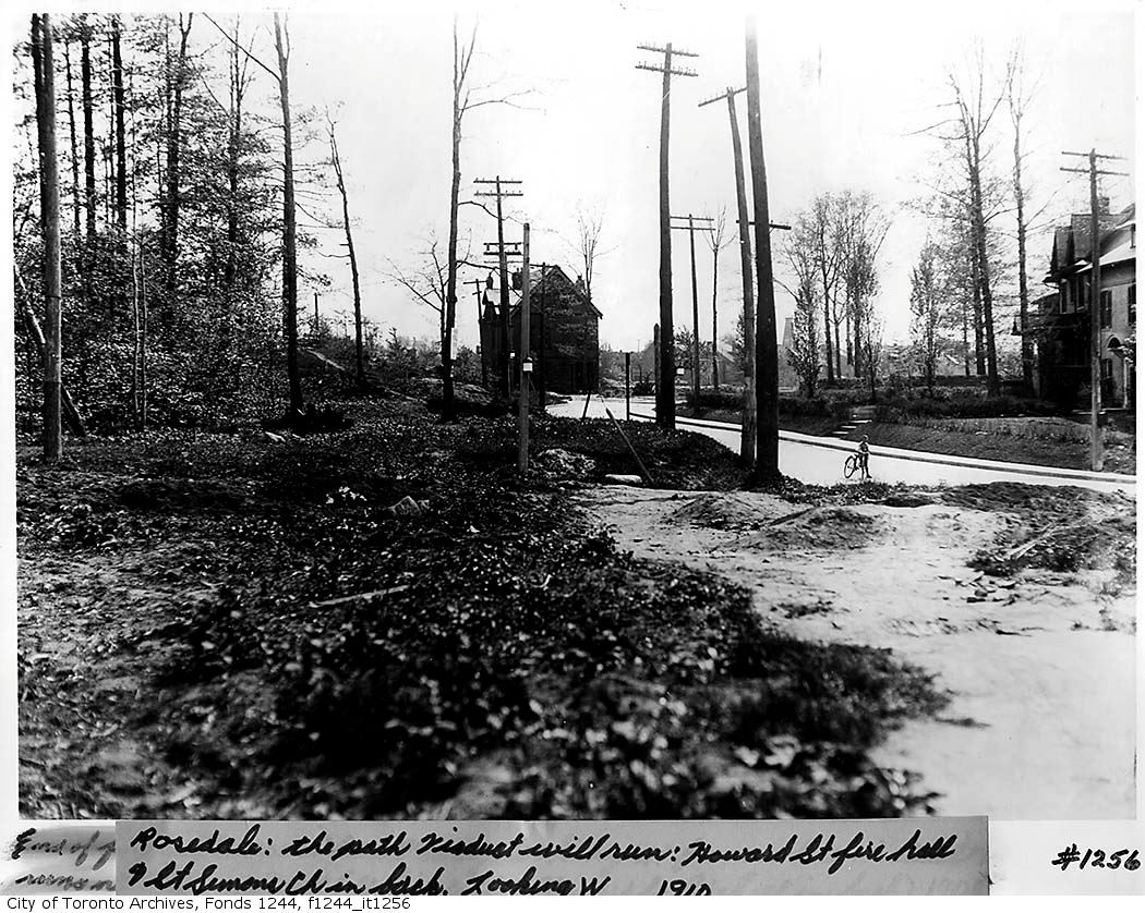
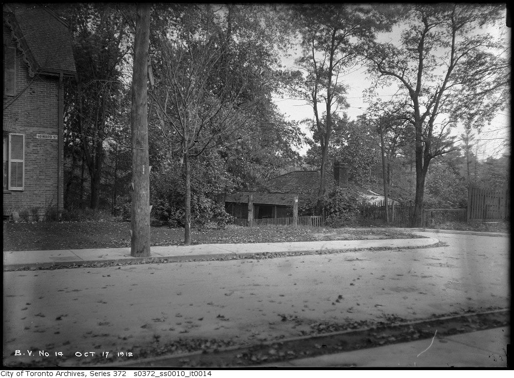
Oct.17, 1912:
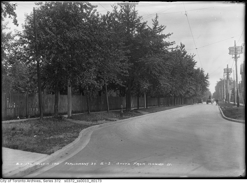
Parliament looking south from Howard 1913:
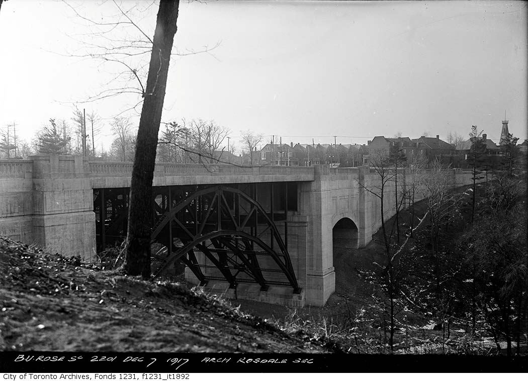
Howard Street would change forever with the construction of the Bloor Street Viaduct, which ran through the back yards of the houses on the north side, and necessitated the demolition of a few houses at the Howard/Parliament intersection:
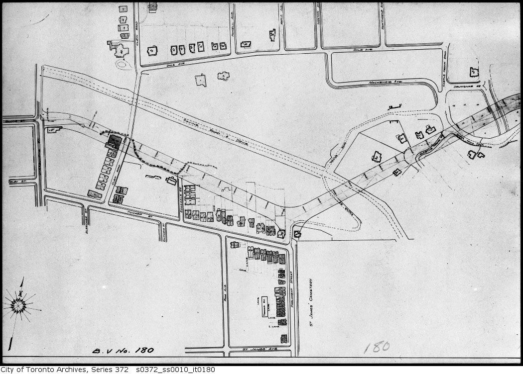
Plan June 14, 1913:
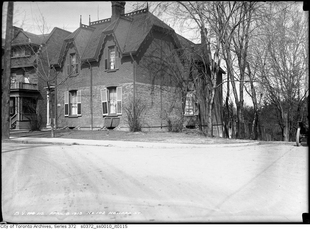
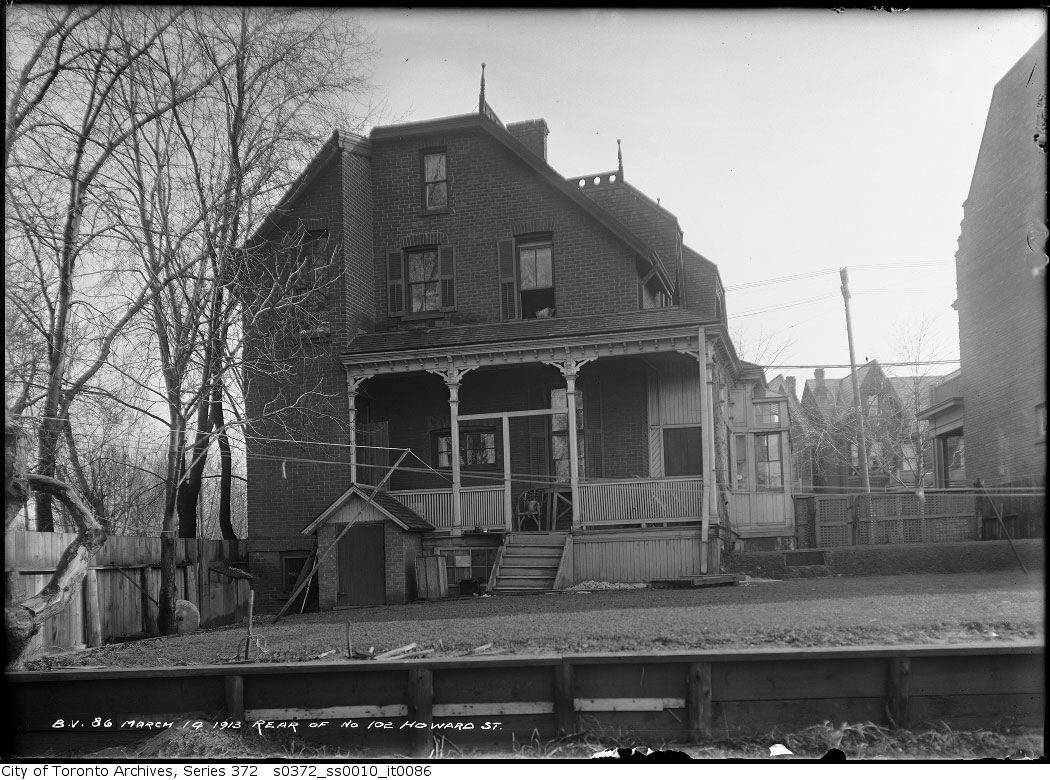
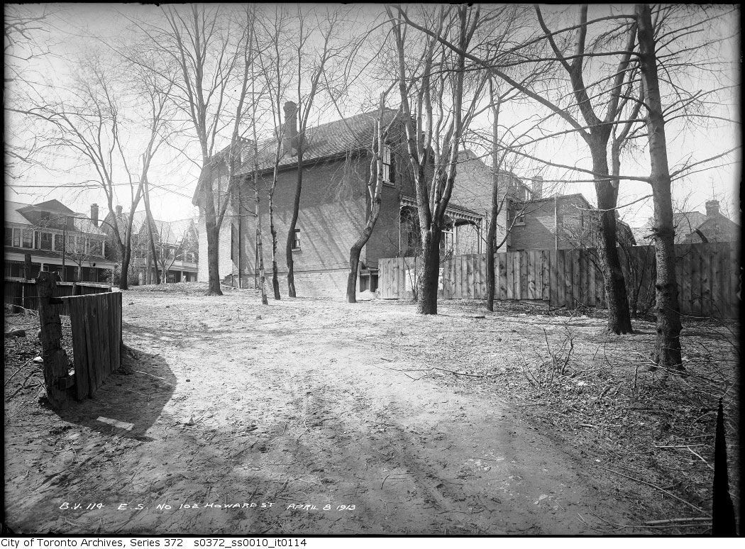
102 Howard (to be demolished):
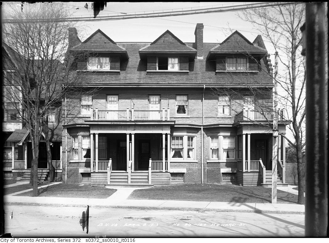
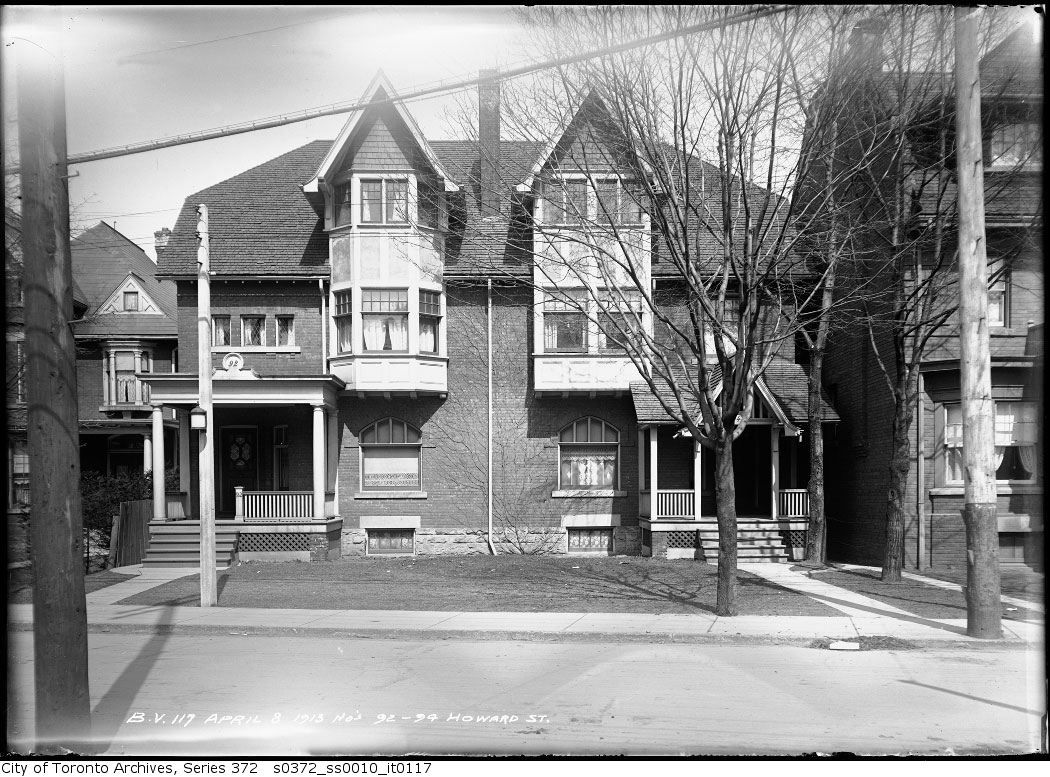
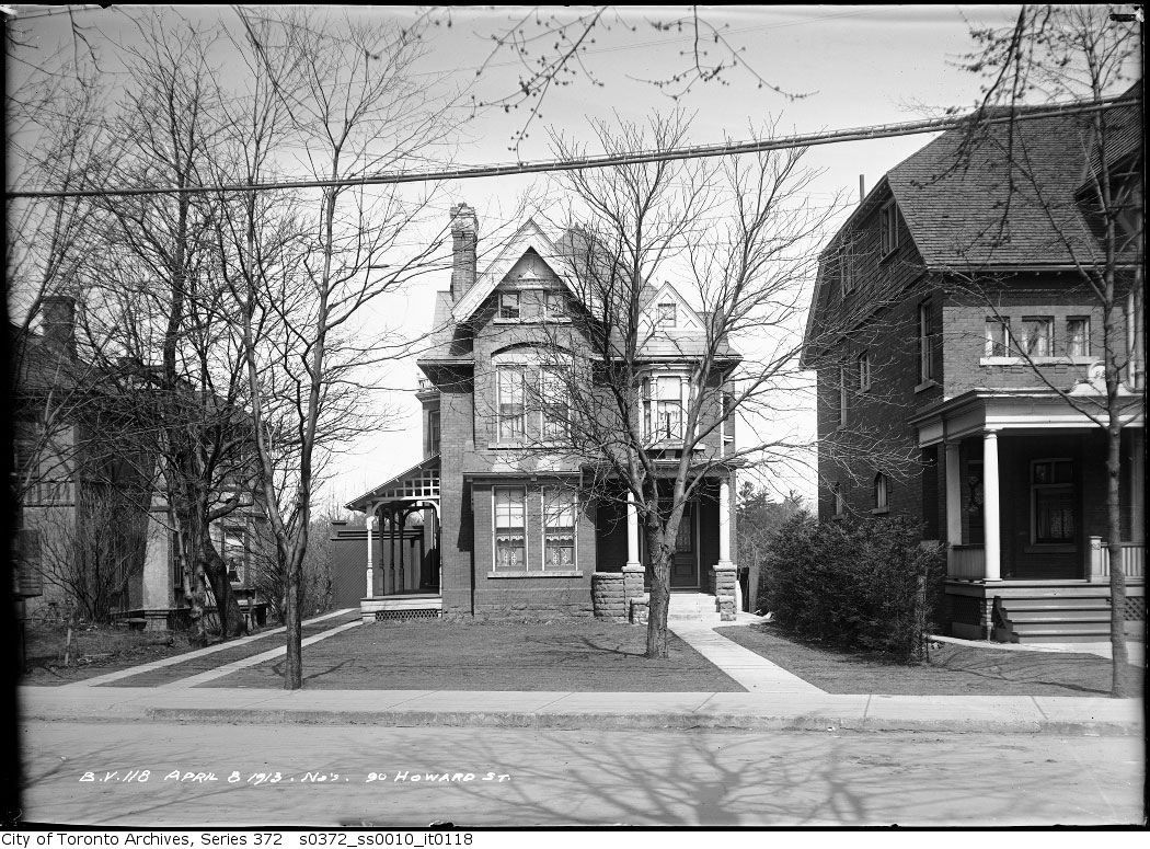
The balance of the houses on the north side of Howard existed until at least the 1970's, of which only #76 now remains:
96-100 Howard:
92-94 Howard:
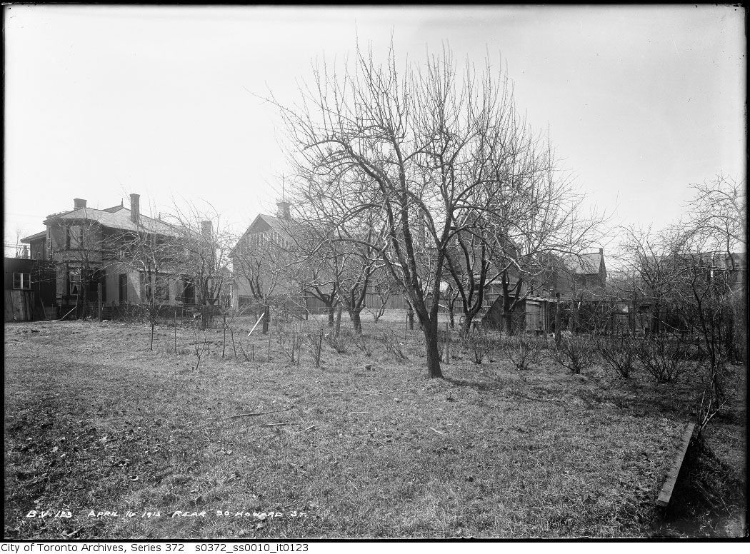
90 Howard:
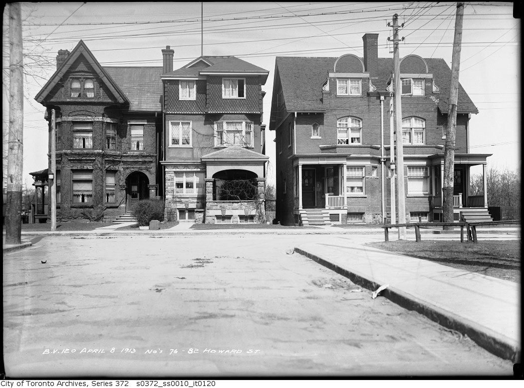
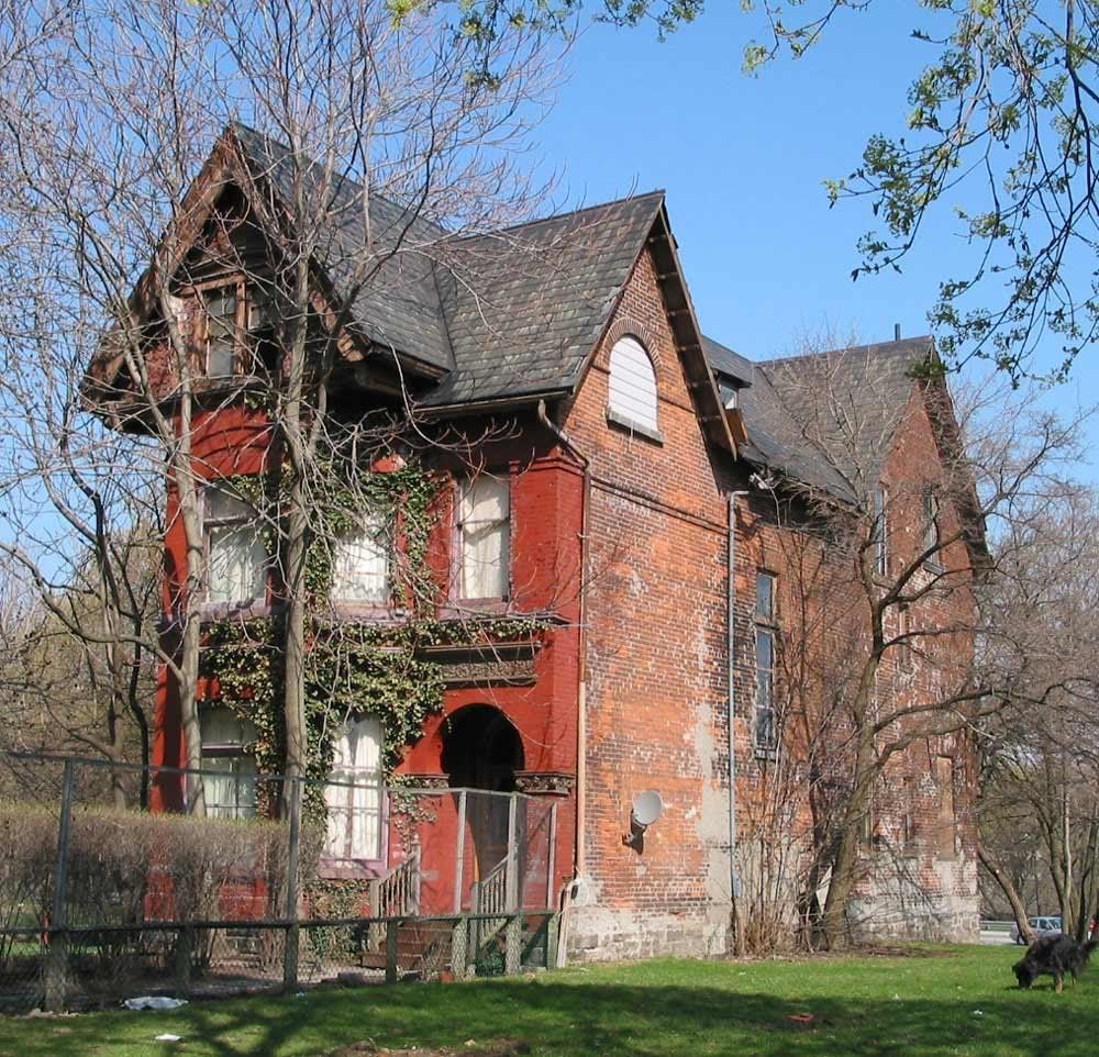
76-82 Howard (note 76 as the sole survivor):
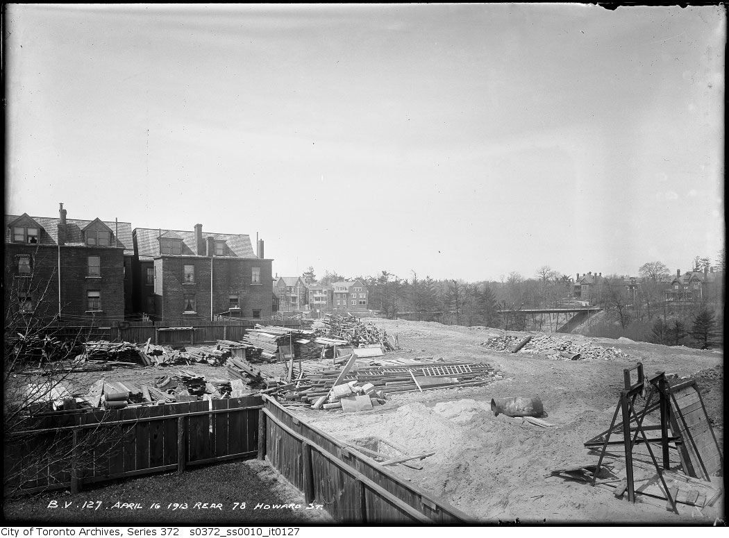
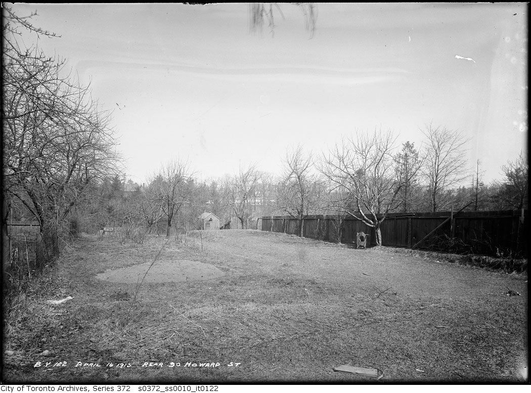
The rears of these houses extended to the ravine:
90 Howard:
78 rear (Glen Road bridge in the distance):
1917:
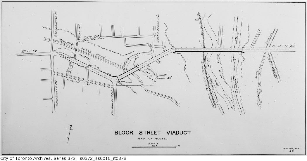
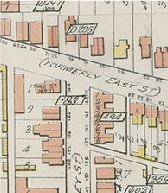
1918 Plan:
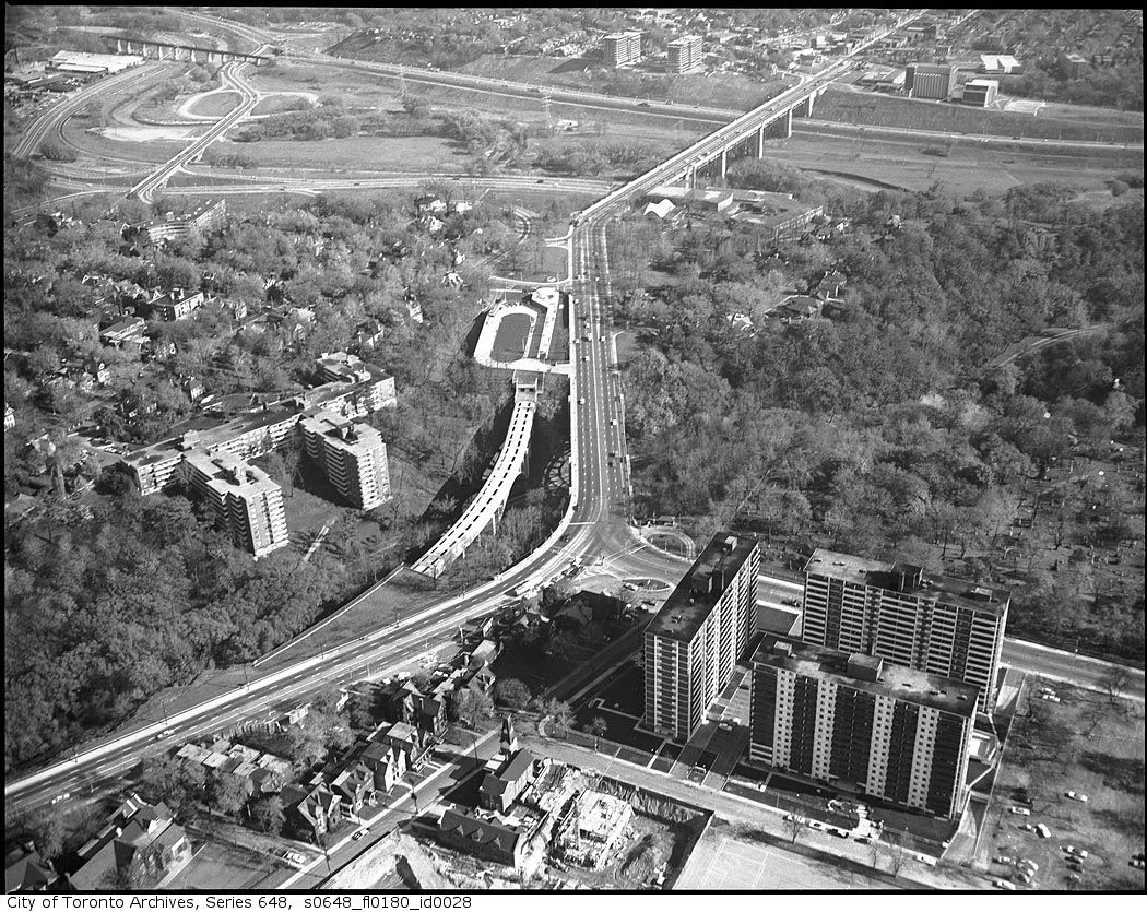
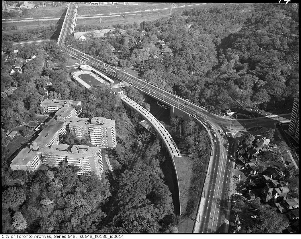
Like Anna's photo above, these mid-60's pic show the block:
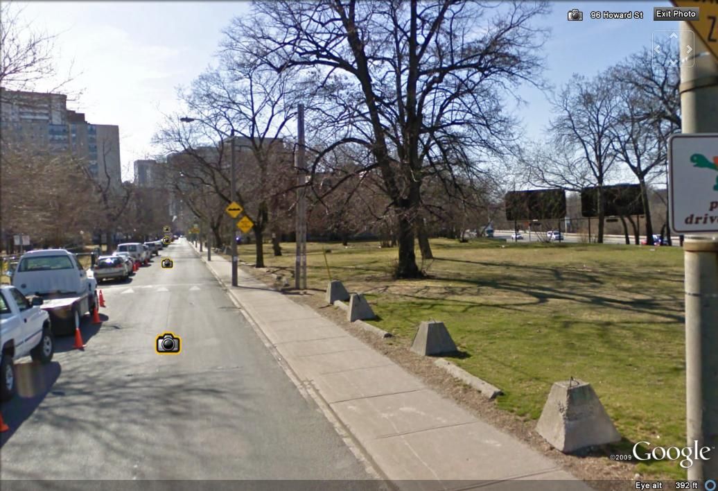
Howard Street today, near the site of #100:
76 Howard today: