News   GLOBAL  |  Apr 02, 2020
 9.7K     0 
News   GLOBAL  |  Apr 01, 2020
 41K     0 
News   GLOBAL  |  Apr 01, 2020
 5.5K     0 

The old (1946-47) aircraft graveyard would have been about here, west side of the tracks - see attached thumbnail.
Hope you find something - good luck!
And that building in the late 70's was an IBM disposal site, mentioned in my previous post. The parking lot contained two large open trailers, into which they would pile all kinds of crushed electronics and equipment.
 
Then and Now for Oct 4.


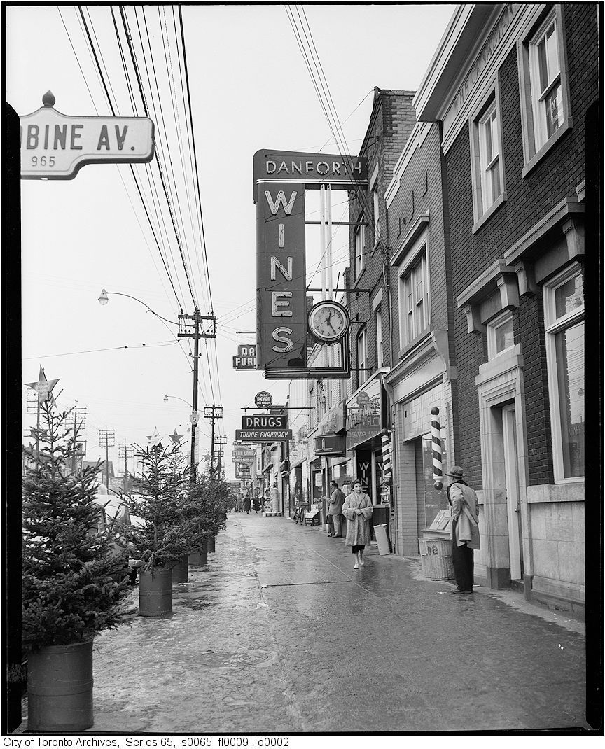
Then. 'Overhanging signage 1954' sez the Toronto online Archives notes for this picture. Perhaps a source for concern?...

199overhangingsignage1954.jpg


Now. July 2011.

200.jpg
 
Then and Now for Oct 4.


Then. 'Overhanging signage 1954' sez the Toronto online Archives notes for this picture. Perhaps a source for concern?...

199overhangingsignage1954.jpg

I immediately assumed the street name sign was on Danforth at "Woodbine."
If so, the number 965 can't be correct!
965 is near Donlands Ave.
 
Last edited:
Most of the homes on Denlow Blvd. (off Leslie, south of York Mills) were build on the former IBM 18-hole golf course.
The original club house still remains and is now the local community centre.

IBMCCThenandNow.jpg
 
I immediately assumed the street name sign was on Danforth at "Woodbine."
If so, the number 965 can't be correct!
965 is near Donlands Ave.

Goldie, 965 is the Woodbine address
I lived just sourth of here 1968 to 1971 aprox. What is now a Value Mart on the north side of this scene, is a store that seems to stick in my memory. Something about it wrapping around the north east corner, and exiting near the subway entrance. That and when you enter off the Danforth you aremuch higher than the main floor and you have to go down a staircase to get onto it. I will have to go there and see if this is still the case. I doubt it. If I recall correctly, it was neat piece of late 50's early 60's architecture.
 
Last edited:
Most of the homes on Denlow Blvd. (off Leslie, south of York Mills) were build on the former IBM 18-hole golf course.
The original club house still remains and is now the local community centre.

IBMCCThenandNow.jpg
That explains the the building.
 
Then and Now for Oct 4.


Then. 'Overhanging signage 1954' sez the Toronto online Archives notes for this picture. Perhaps a source for concern?...

199overhangingsignage1954.jpg


Now. July 2011.

200.jpg

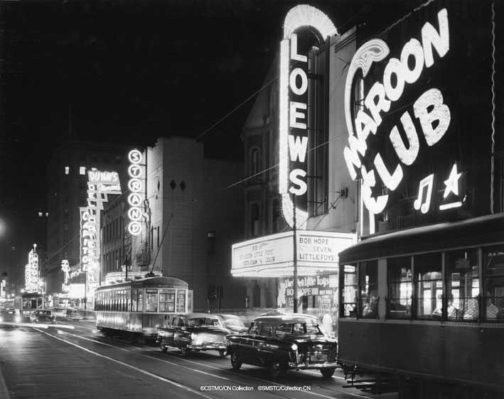
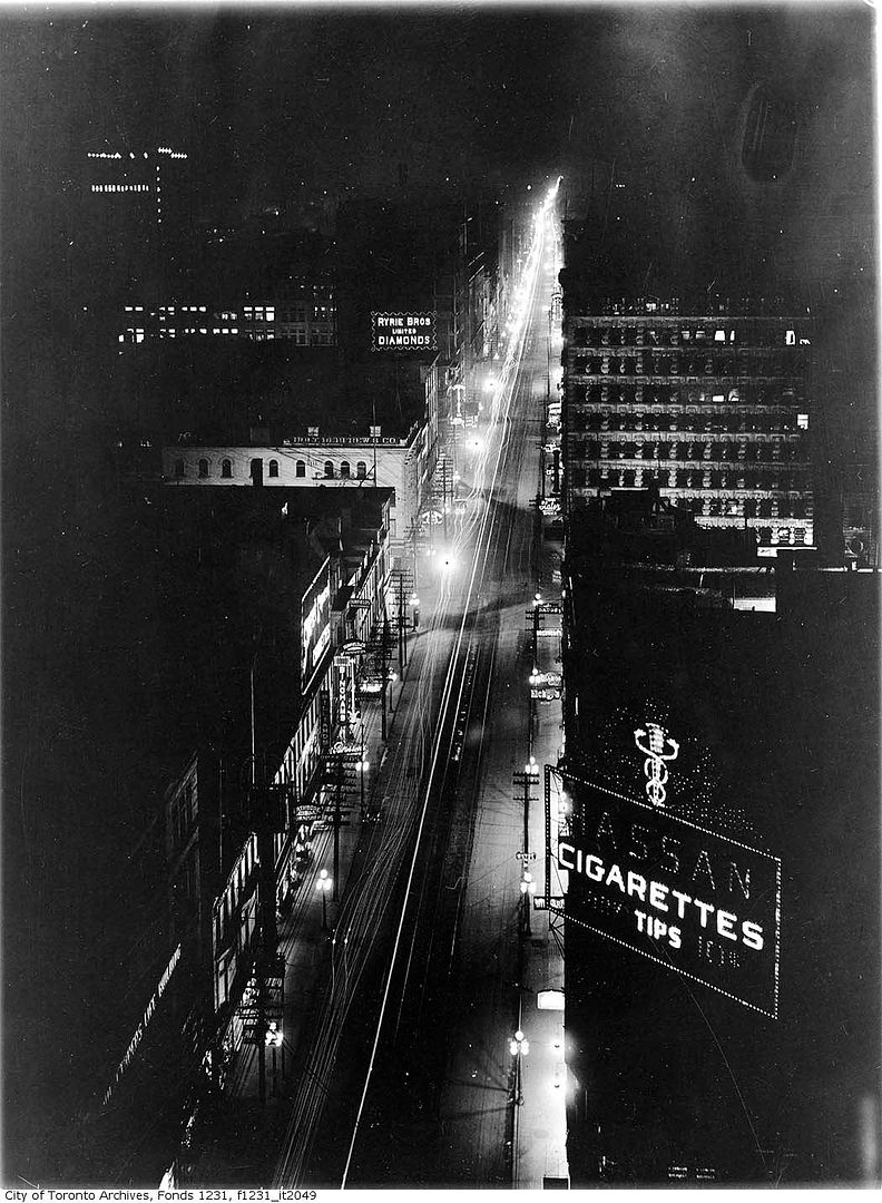
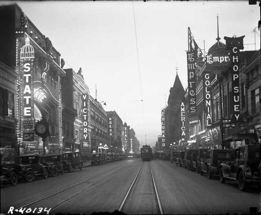
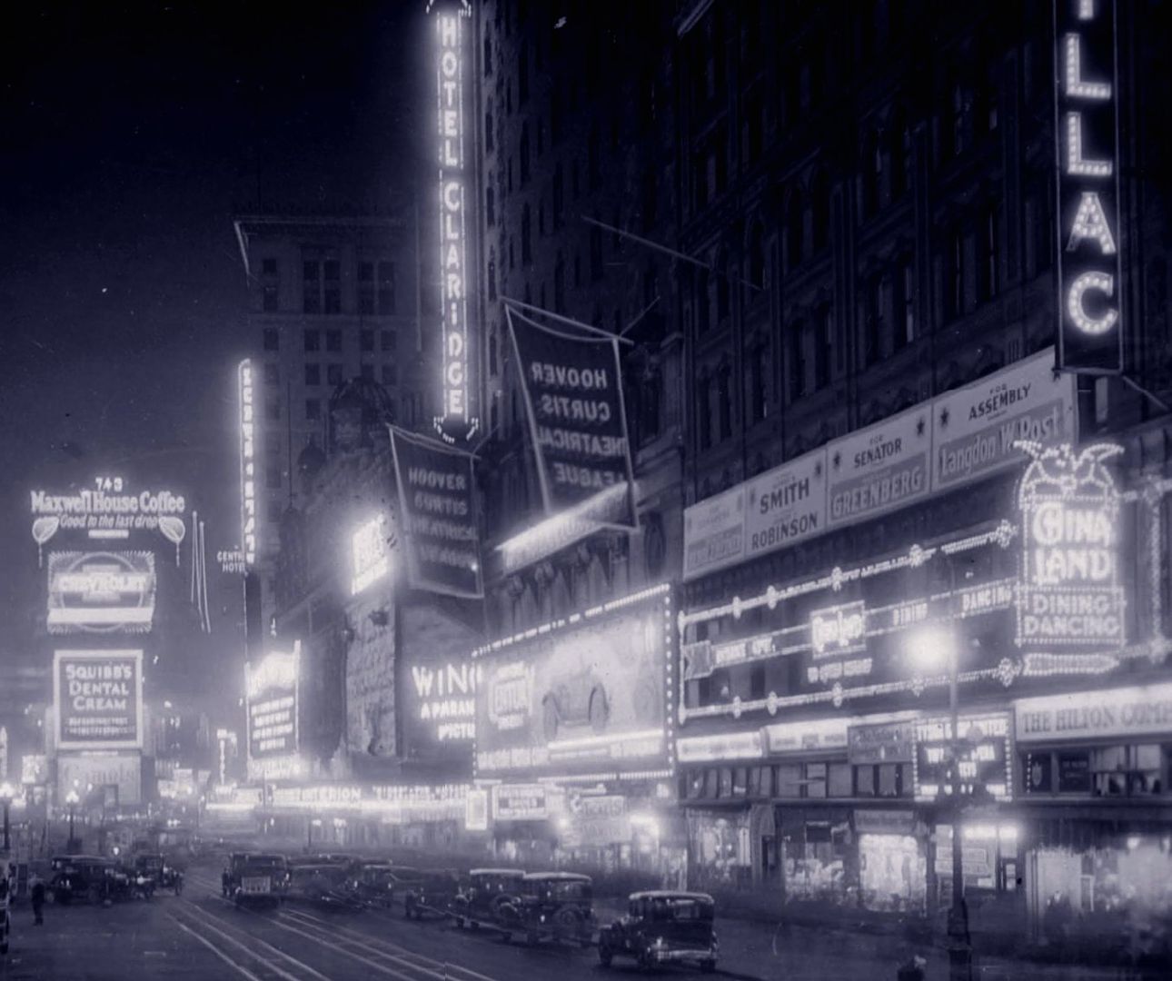
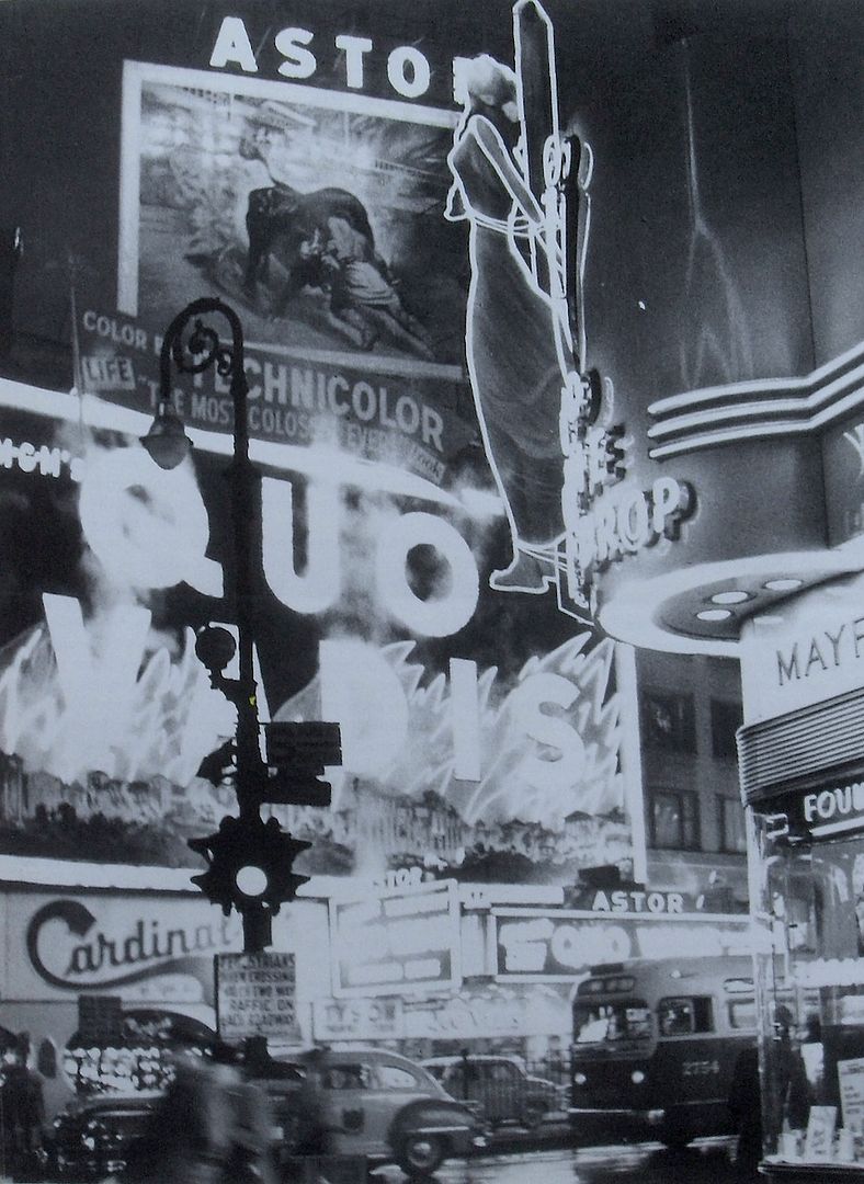
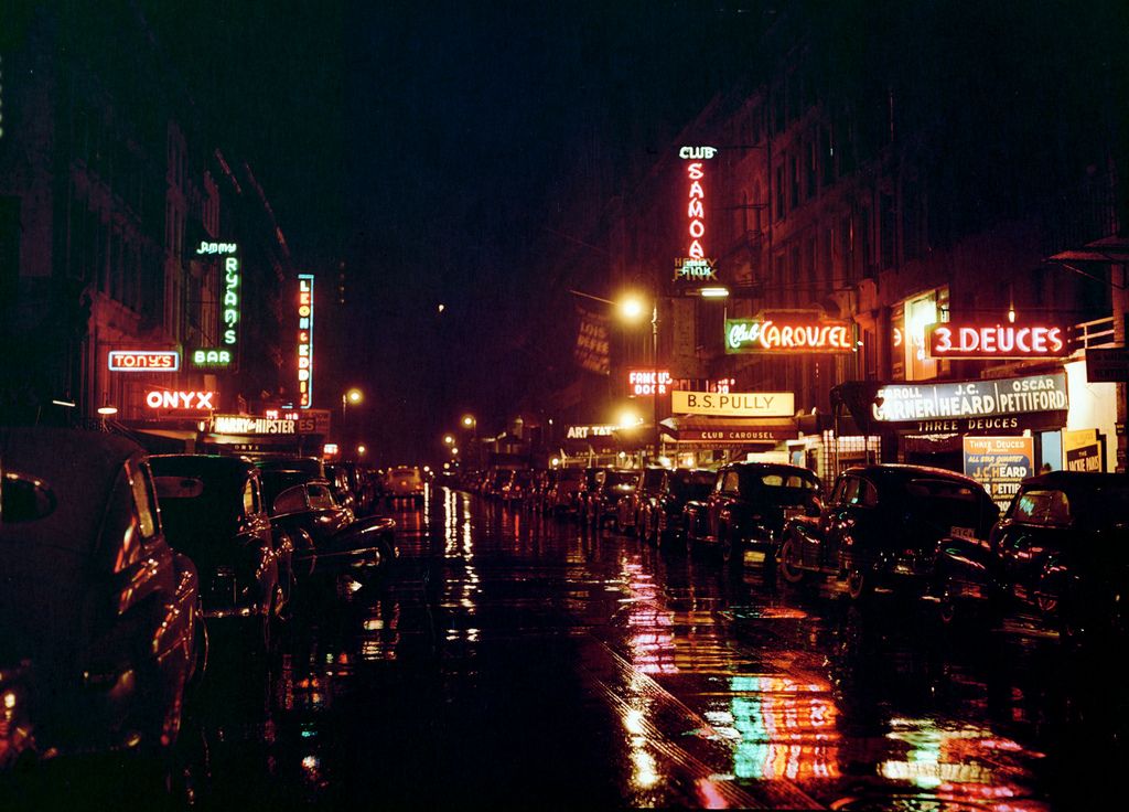
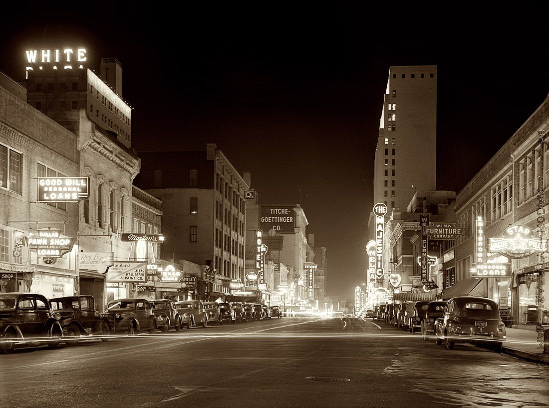
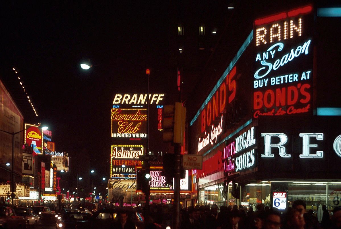
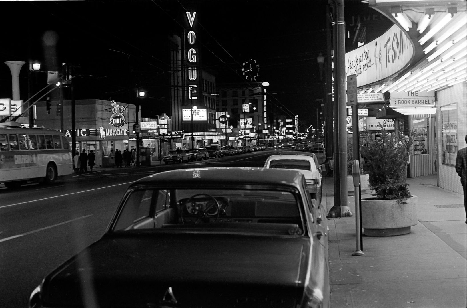
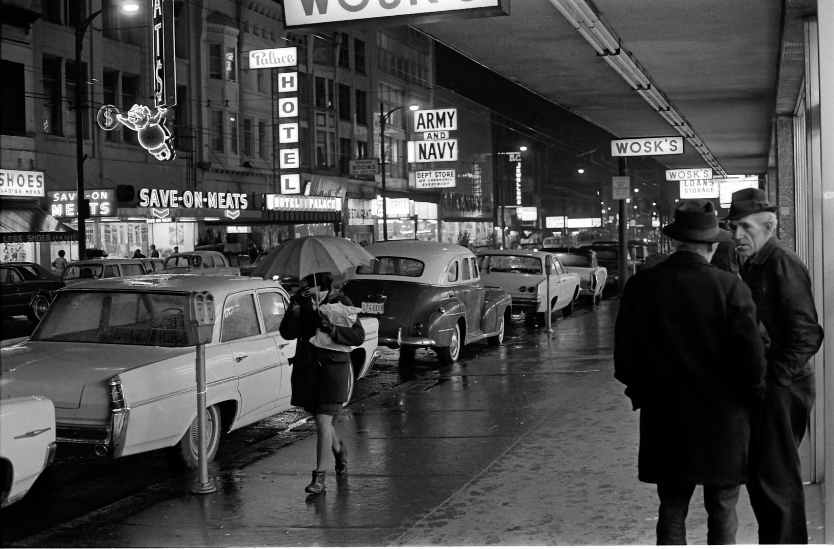
The removal and prohibition of overhanging signs (and theatre marquees and New York-style entrance canopies) was a wrong-headed decision and has clearly resulted in the blandness of many streets today. The issue goes back a long way:

1912:
http://news.google.com/newspapers?n...2kjAAAAIBAJ&sjid=wSkDAAAAIBAJ&pg=4701,3776553

1959:
http://news.google.com/newspapers?n...PtcxAAAAIBAJ&sjid=JuQFAAAAIBAJ&pg=3301,572440

Current regulations:
http://www.waterfrontbia.com/pdf/tabia-sign.pdf

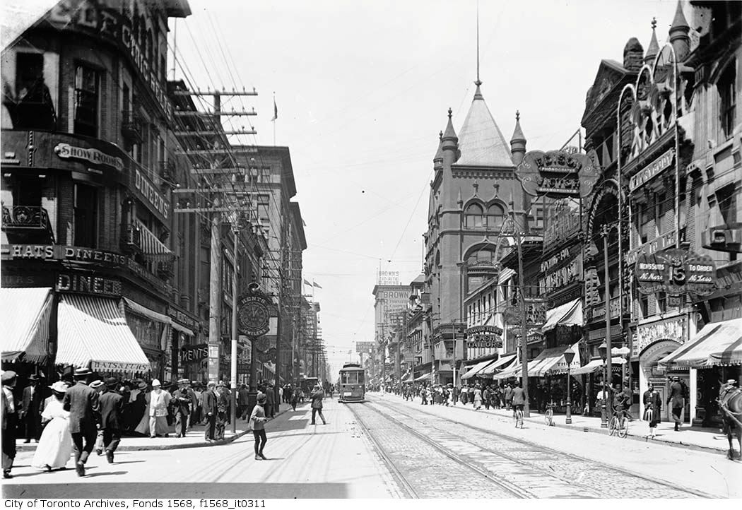
The Golden Age of street encroachments (Yonge & Temperance 1903):

signage1903.jpg
 
Last edited:
Goldie, "965 is the Woodbine address"

Of course! How stupid of me - why didn't I realize that?

By the way, it appears that even the colourful barbershop poles were in violation of the "overhanging sign" legislation.
Our streets were so much more vibrant in the days of neon.
 
The prohibition of overhanging signs is really regrettable. In the first place it makes our streets look really dull and disheartening. Secondly, it forces merchants to deface the facade of the building in order to have any kind of signage at all. Third, it renders signs practically invisible to pedestrians, which basically defeats the whole purpose of the signs in the first place. I don't understand the logic of the regulations. Were there issues in the past of badly engineered signs collapsing on to peoples heads?
 

Back
Top