News   GLOBAL  |  Apr 02, 2020
 9.7K     0 
News   GLOBAL  |  Apr 01, 2020
 41K     0 
News   GLOBAL  |  Apr 01, 2020
 5.5K     0 

A few more of that now-transformed stretch of Don Mills Rd. - taken last fall (2010)

oldDonMillsRd20102.jpg


oldDonMillsRd20103.jpg


oldDonMillsRd20101.jpg
 
I love those old concrete bridges; they were everywhere. (in S Ontario at least.)

Regards,
J T
 
Then and Now for Dec 9.


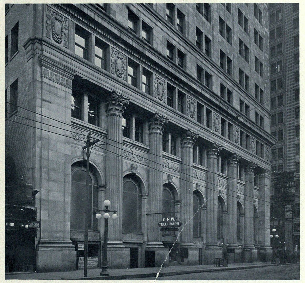
Then. Yonge Street. E side, looking SE to King in the right distance. c1915. We 'did' this corner already back on page 360 of this thread in a NE looking view, but this handsome wwwebster sourced picture is too good to go unused and unappreciated.

294YongeEsidesouthtoKingc1915.jpg


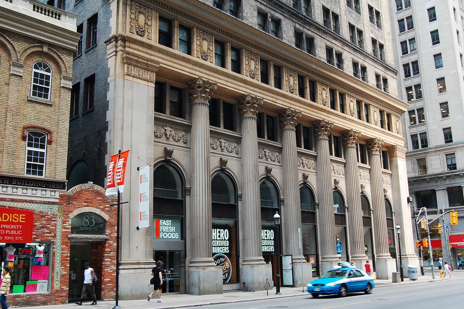
Now. June 2011.

295DSC_0023.jpg
 
Last edited:
If that apartment building is the first one up the hill from the DVP on Don Mills road,

it was named "The Citadal", and was built by the owner during the mid '60's.

(c/w Otis Elevators)


Regards,
J T

Urgent G.N.W. telegraph for JT CUNNINGHAM: It's spelled 'Citadel', with an 'e'. Full stop. :)
 
"Urgent G.N.W. telegraph for JT CUNNINGHAM: It's spelled 'Citadel', with an 'e'. Full stop."
QUOTE Mustapha.


Hey, I am lucky that I have remembered the building's name after all of these years!


Regards,
J T

I know this feeling. Getting the spelling right is a bonus.
 
Hey, what's this with Gorbachev, he and Yeltsin basically handed the country to Putin. I read it in the Economist.
 
"Urgent G.N.W. telegraph for JT CUNNINGHAM: It's spelled 'Citadel', with an 'e'. Full stop."
QUOTE Mustapha.


Hey, I am lucky that I have remembered the building's name after all of these years!


Regards,
J T

This building also had rooftop gardens with some larger trees, green roofs in the mid 1970's?
That stretch of old Don Mills still had painted road markings on it when I used to frequent this area. Somewhere I have a few B&W shots of the building and roadway from back then.
Saw that clip of Regan yesterday on the CBC.
Otis? Phew, we got thirteen Northerns here I look after! LOL
 
That is not the same bridge, only the same location. What is there now is a Bailey Bridge.

That's why old photos are so fascinating and informative. I had always assumed the Bailey bridge there WAS the road bridge, and given what an obvious limitation to two-way traffic that would have been, it wasn't hard for me to imagine why they'd build the new route. That said, now I'm wondering why they tore out the old bridge instead of just leaving it. Was it in bad shape?

I suppose it's not altogether impossible to imagine a one-lane Don Mills Road bridge. After all, if the date markers are to be believed, the one-lane bow arch bridge on Pottery Road was it till 1977. Imagine the joy THAT must have been every morning getting to and from Bayview. :)
 
I suppose it's not altogether impossible to imagine a one-lane Don Mills Road bridge. After all, if the date markers are to be believed, the one-lane bow arch bridge on Pottery Road was it till 1977. Imagine the joy THAT must have been every morning getting to and from Bayview. :)

That sounds about right. I remember thinking at the time that adding the second bridge took all the fun out of it.

Does anyone remember the Don Valley Parkway 'landslide'? I can't remember which hill it was - it may have been near Chester Hill Dr - but I recall reporters talking to commuters who had no idea how to get home to the suburbs without the DVP.
 
I had always assumed the Bailey bridge there WAS the road bridge
no, they are almost but not quite on the same alignment

here's where the pavement runs out, looking south towards the bailey bridge

old-don-mills-road-at-cn-bailey-bridge.jpg


there are several wooden steps on the right that lead down to the bailey bridge

mind you, on the south end of the bailey bridge, the old roadbed resumes, so it's pretty close
 
...Does anyone remember the Don Valley Parkway 'landslide'? I can't remember which hill it was - it may have been near Chester Hill Dr - but I recall reporters talking to commuters who had no idea how to get home to the suburbs without the DVP.

Looked it up in the Star - April 18, 1969, just west of the Don Mills overpass - likely the hill/landfill in the centre of this shot.

... Actually the fourth shot looks right up to where that house is. The hill in the centre of that shot is the landfill which was filled between 1960 and 1962, so right around the time these were taken I guess.
s0065_fl0091_id0002.jpg
 
Looked it up in the Star - April 18, 1969, just west of the Don Mills overpass - likely the hill/landfill in the centre of this shot.

At first I thought you were thinking of the 1980's Leaside landslide that took out Laird south of Village Station.
 
At first I thought you were thinking of the 1980's Leaside landslide that took out Laird south of Village Station.

Man, you'd think we were all living on Pacific Coast Highway or something. :)
 

Back
Top