Mustapha
Senior Member
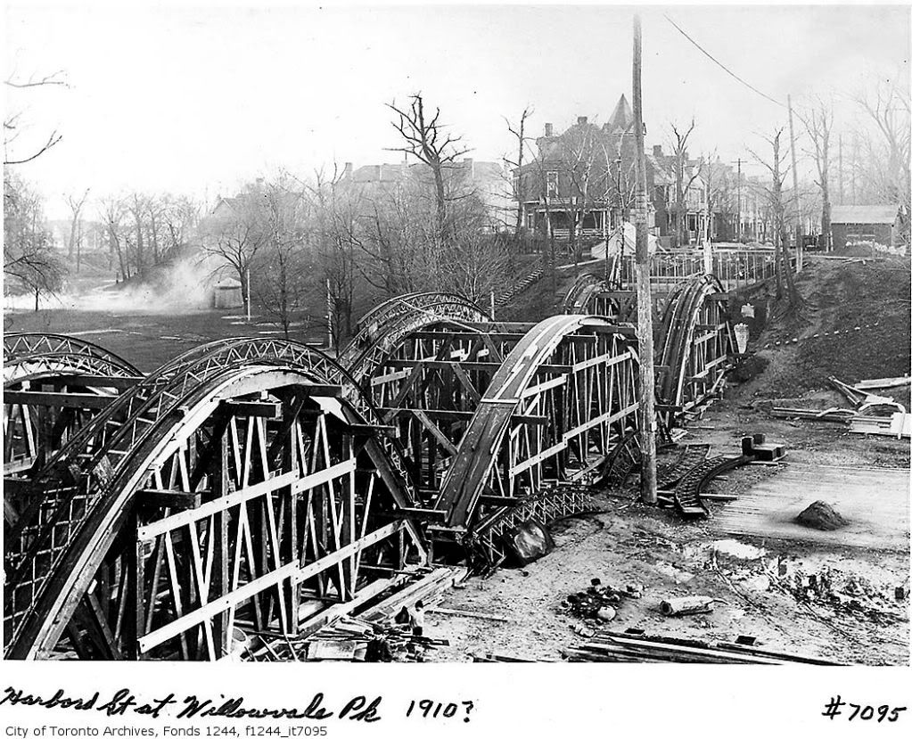
I wonder why it took the building of two bridges before some bright individual realized that the hole could simply be filled.
Is there any way to discover the name of that individual (city engineer?)?
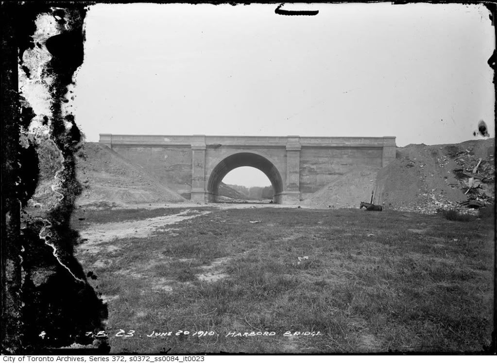
There is an earth berm that carries Duplex avenue across Chatsworth ravine (between Chatsworth avenue and Glenview avenue) in north Toronto. This berm has been there - just a wild guess - since the streets were laid out in the 20s.
Obviously you can't walk underneath a berm - this may have been the deciding criteria in favour of a bridge at Crawford.