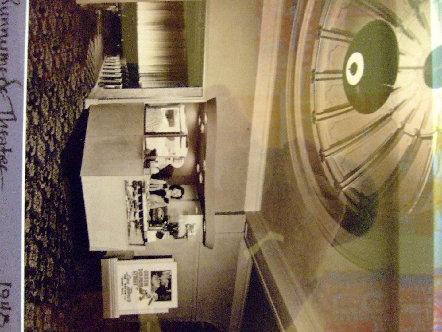
Mustapha
Senior Member
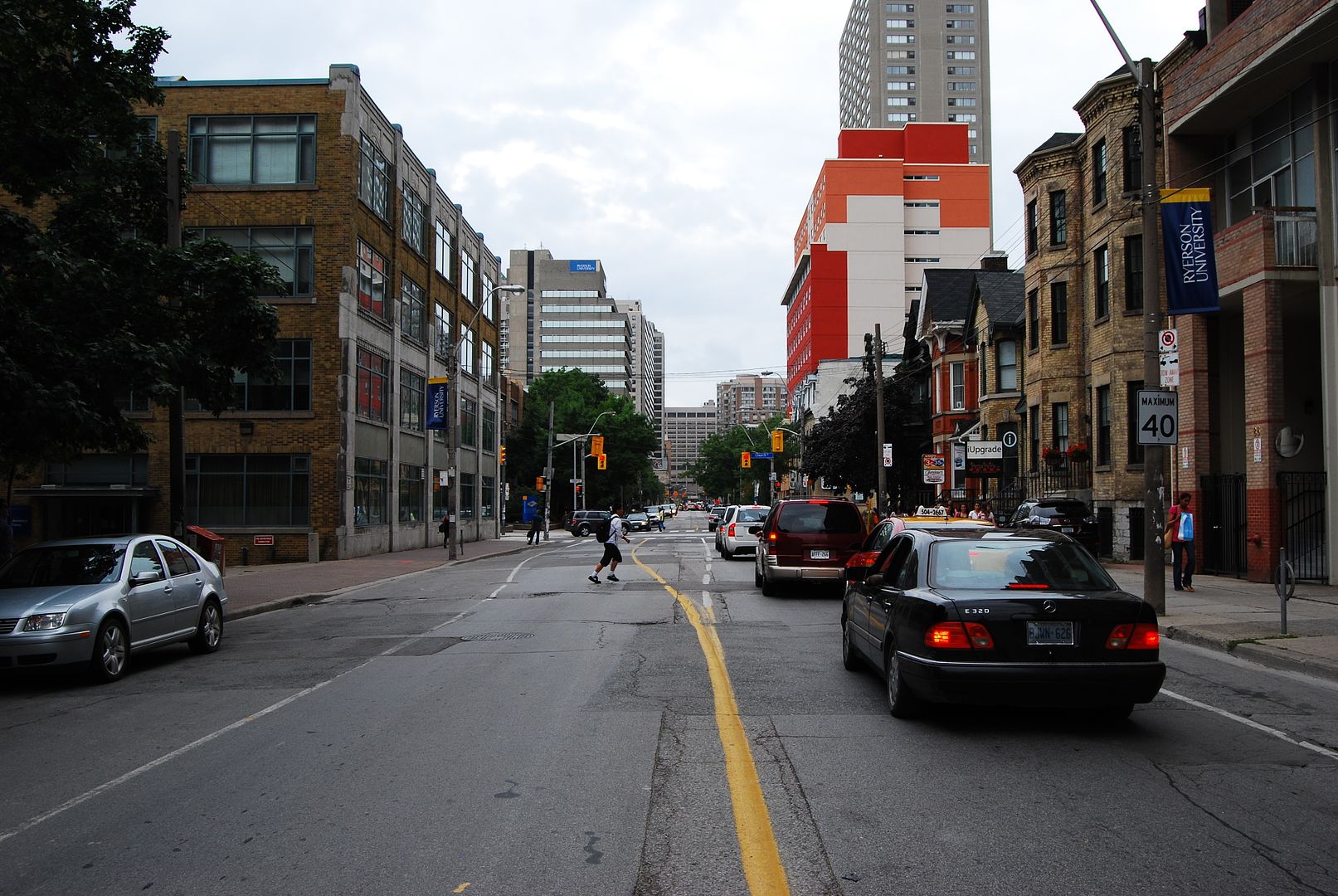
thecharioteer, As a child in the early 60s, I remember being driven by my gramps around the area north of what is now Square One Mall. The roads running east and west off Hurontario street were all farms.
There were some old Asian men there making soy sauce. The liquid was fermenting in tubs covered by glass. Flies everywhere. I suppose they strained the flies out.")
goldie, the herbalist business Then and Now; wonderful! You must have been charming to get the pretty proprietress to pose for you.
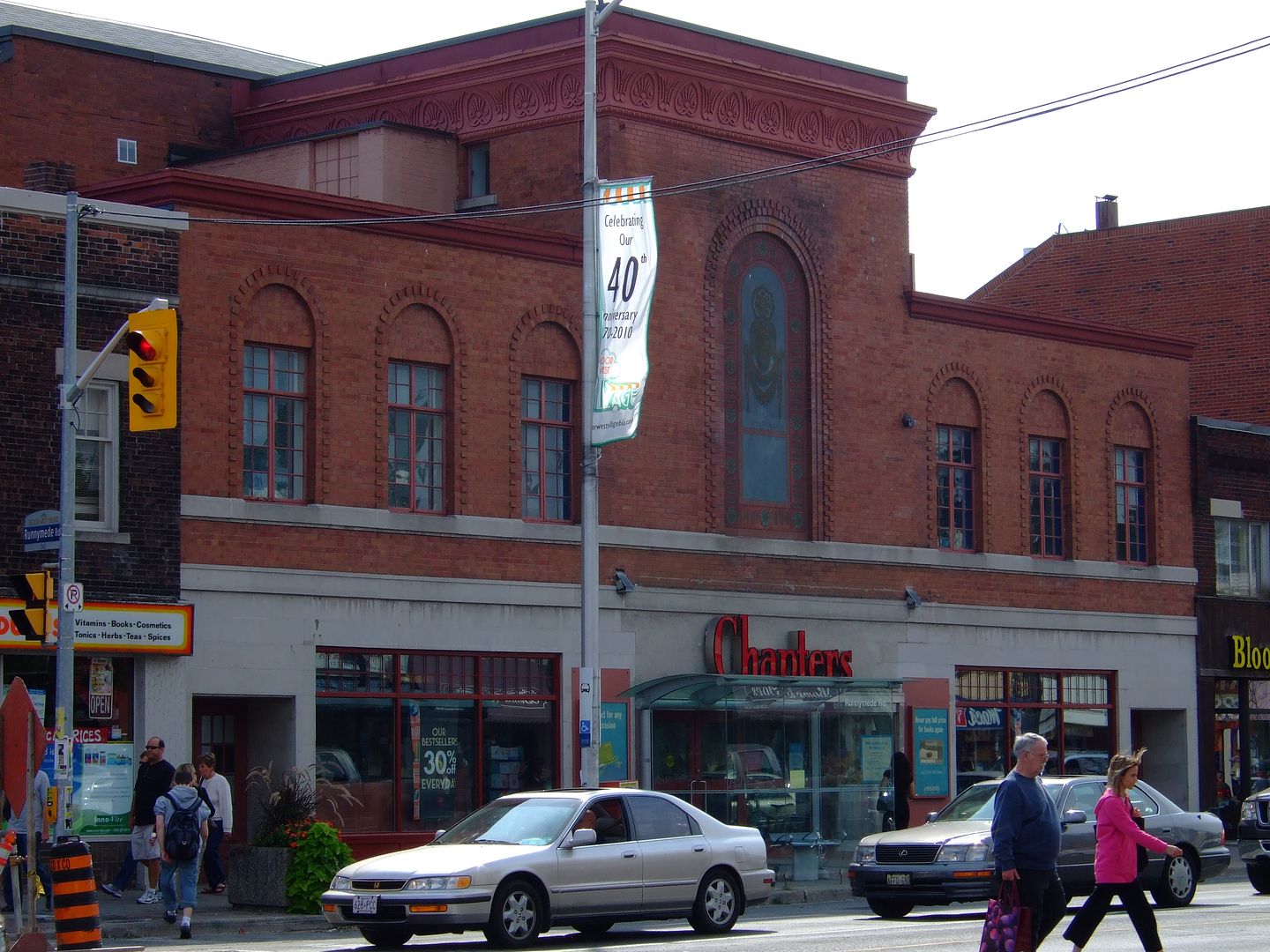
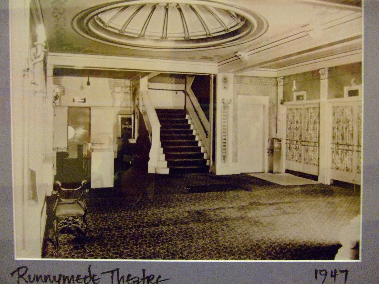
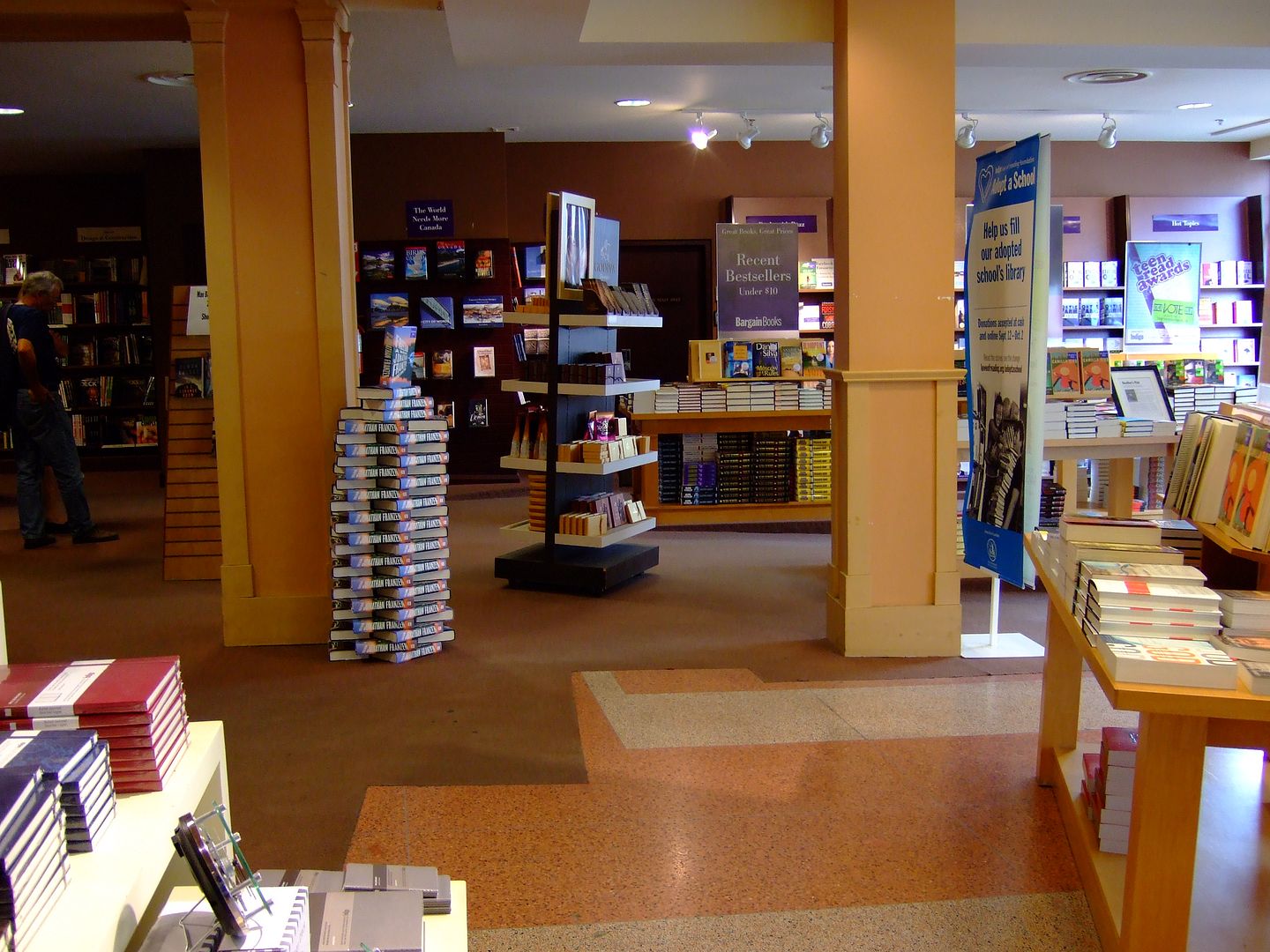
Great historical story and an innovative change from the usual "bricks and mortar" Then and Now...
September 18 addition.
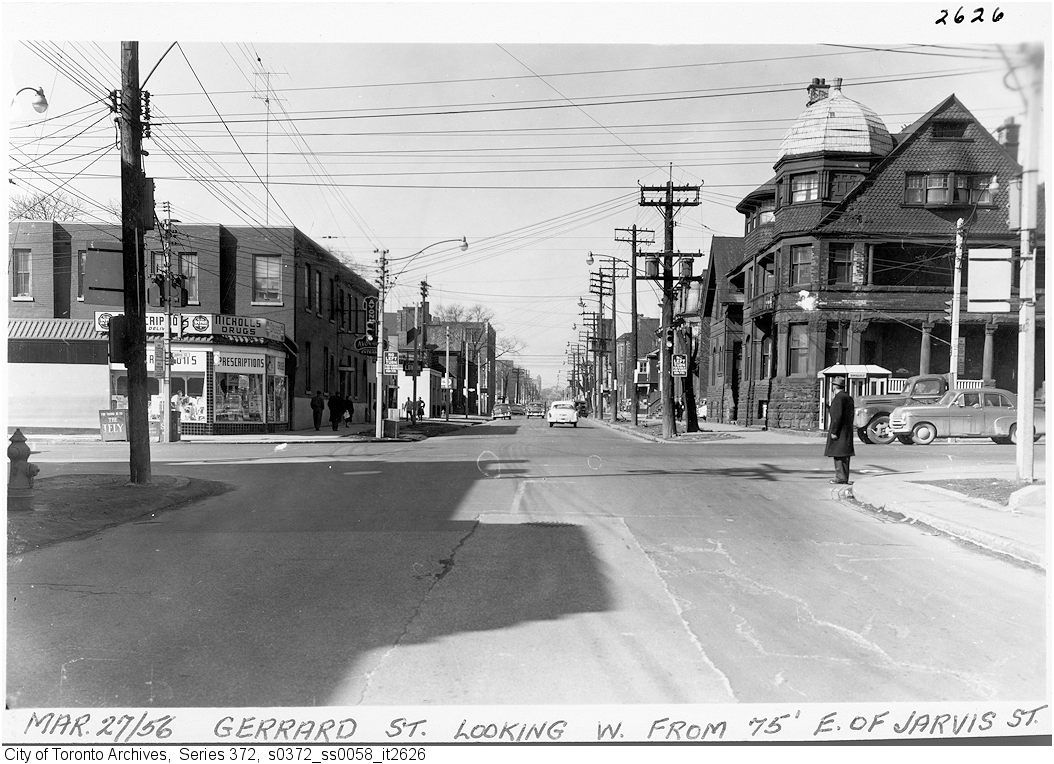
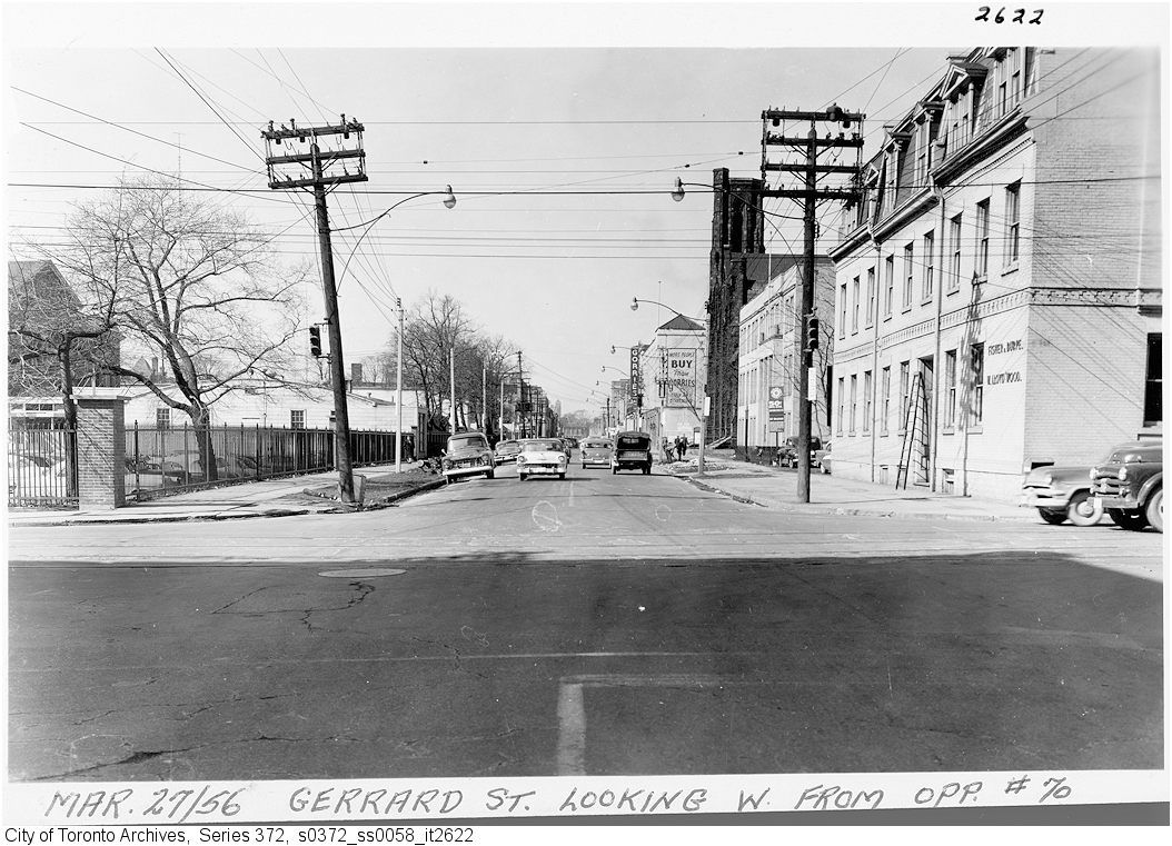
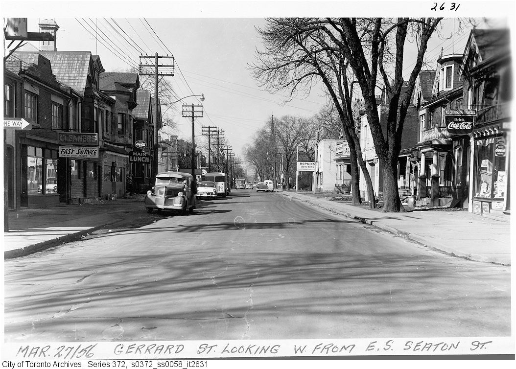
Then. Gerrard looking W from the east side of Seaton. March 27, 1956.
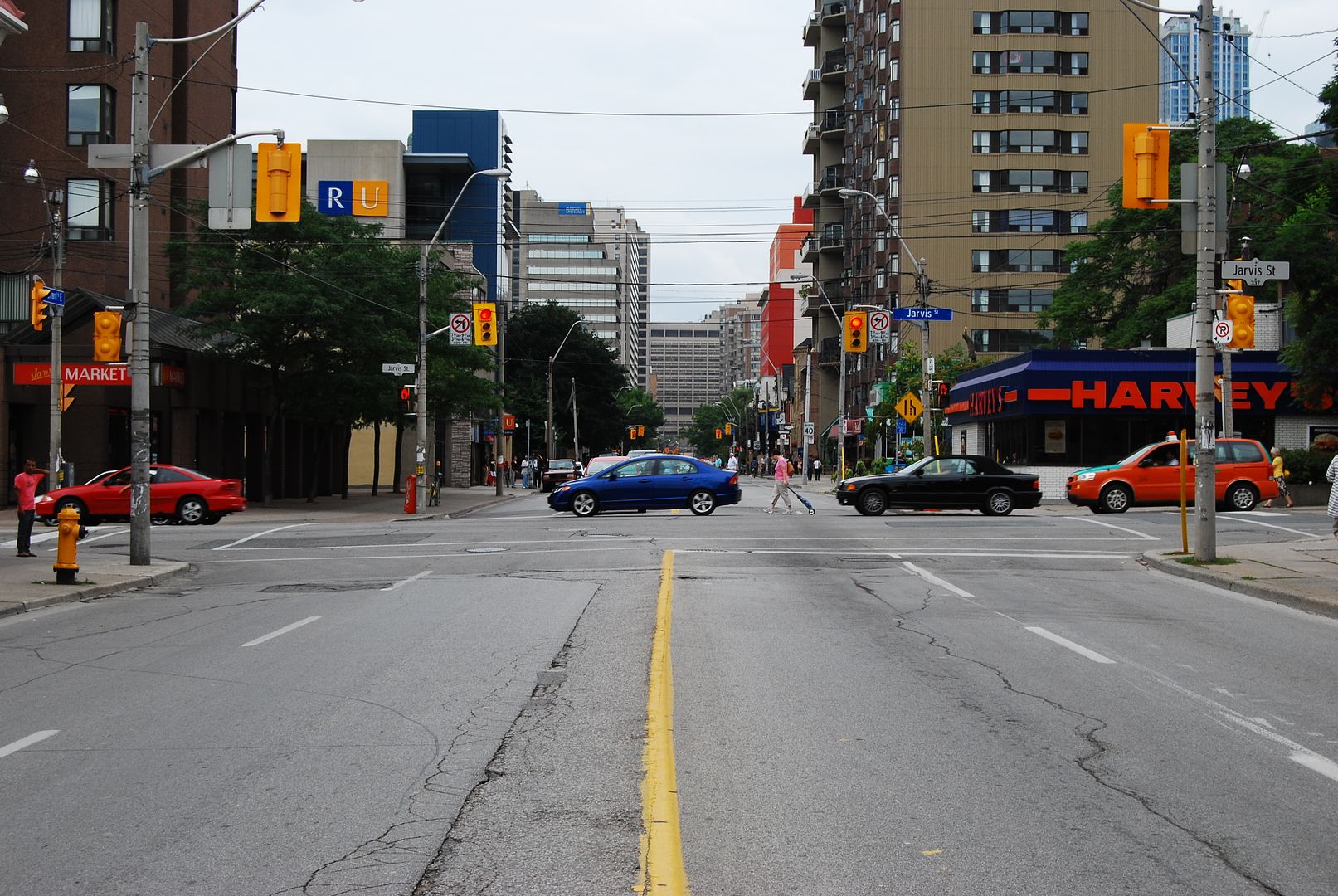
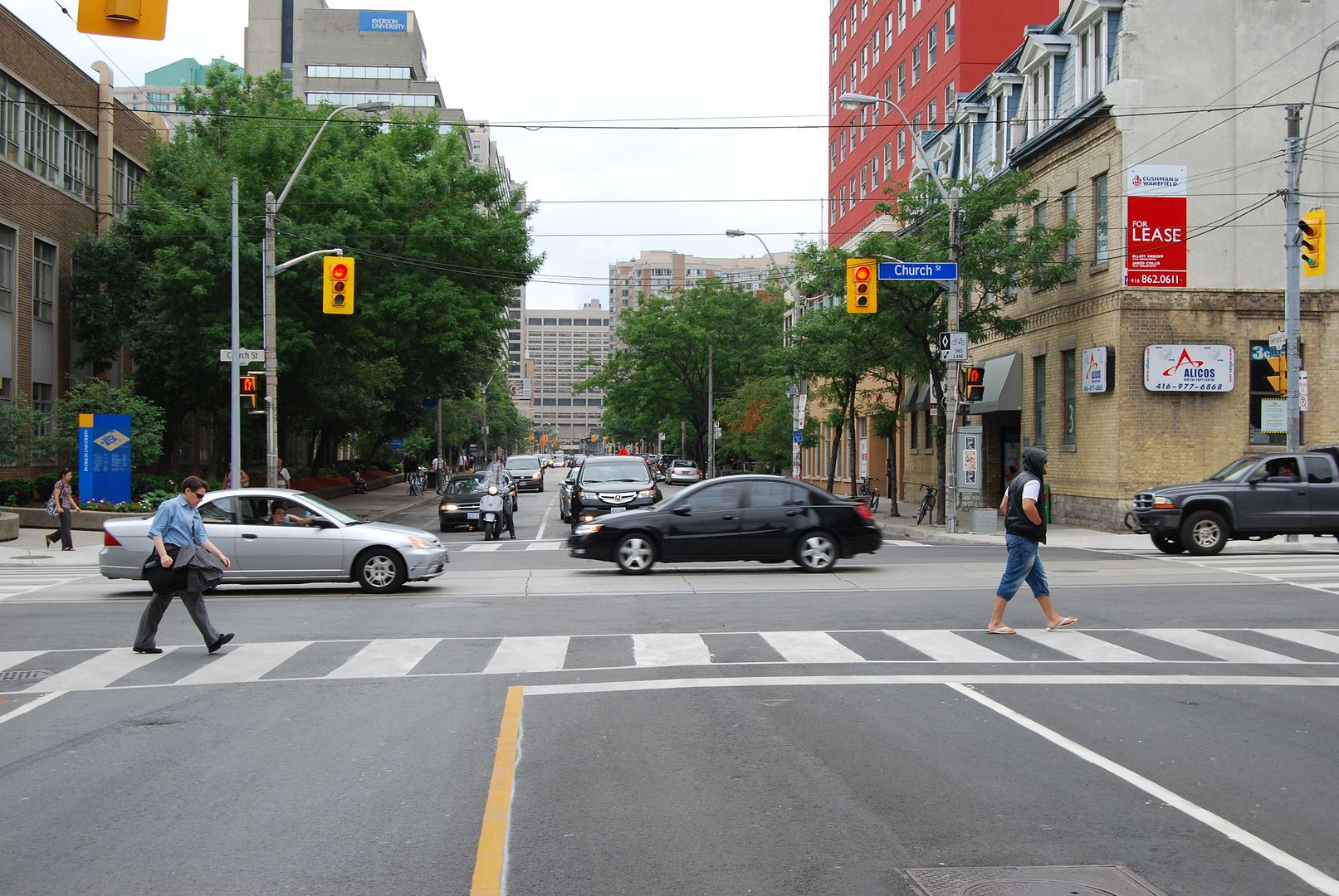
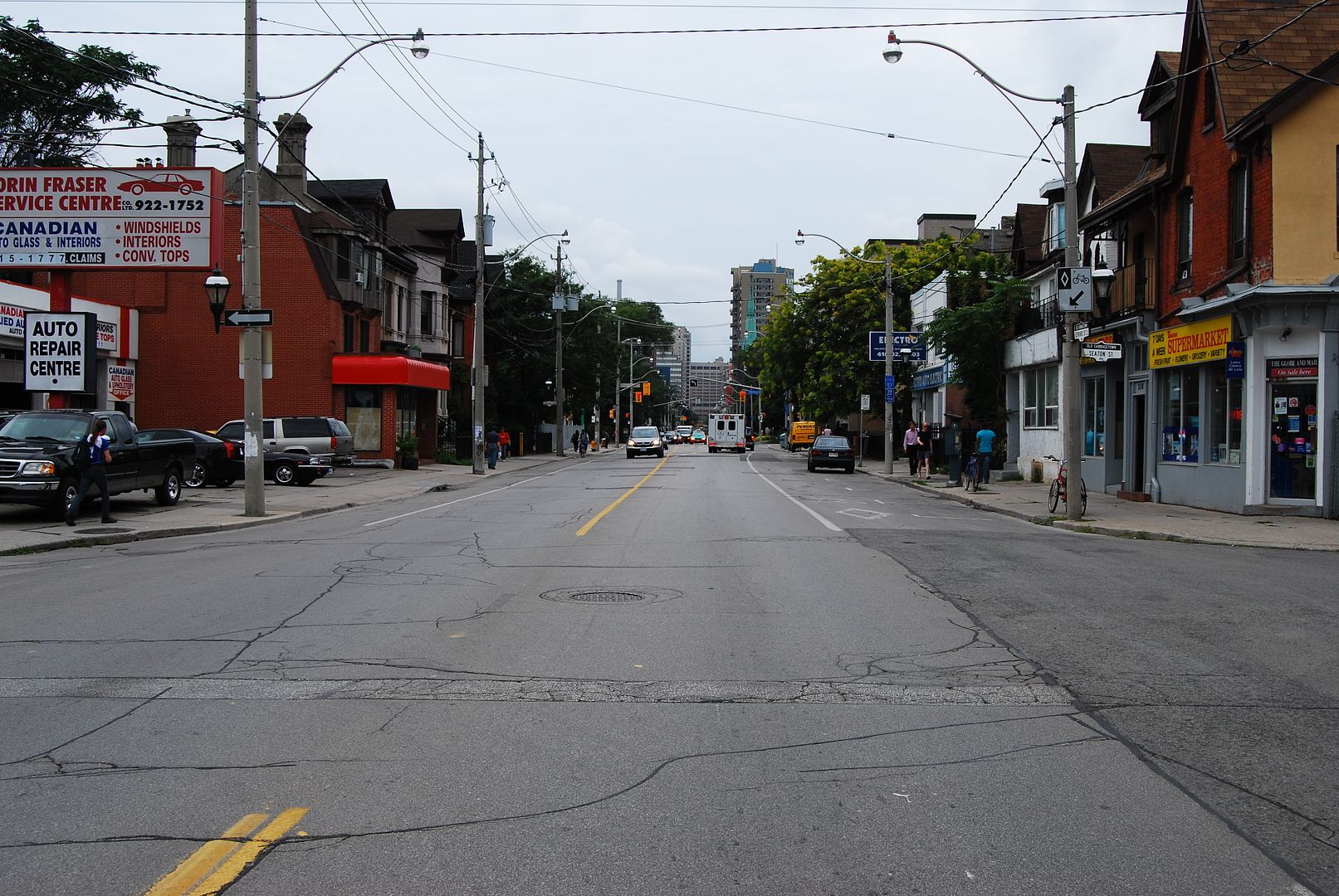
Now. July 2010.
There were some old Asian men there making soy sauce. The liquid was fermenting in tubs covered by glass. Flies everywhere. I suppose they strained the flies out.
goldie, the herbalist business Then and Now; wonderful! You must have been charming to get the pretty proprietress to pose for you.
Great historical story and an innovative change from the usual "bricks and mortar" Then and Now...
September 18 addition.
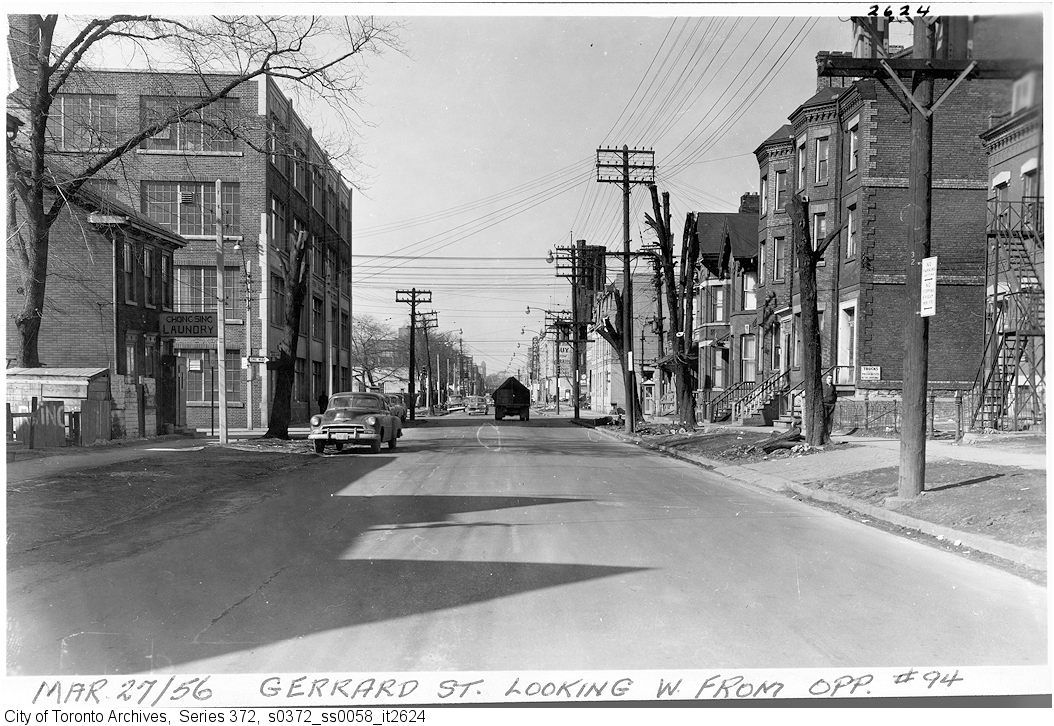
Then. Gerrard looking W from the east side of Seaton. March 27, 1956.
Now. July 2010.