thecharioteer
Senior Member
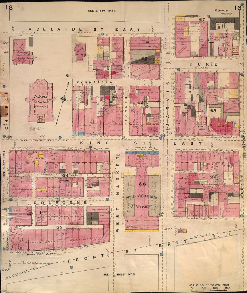
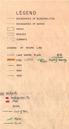
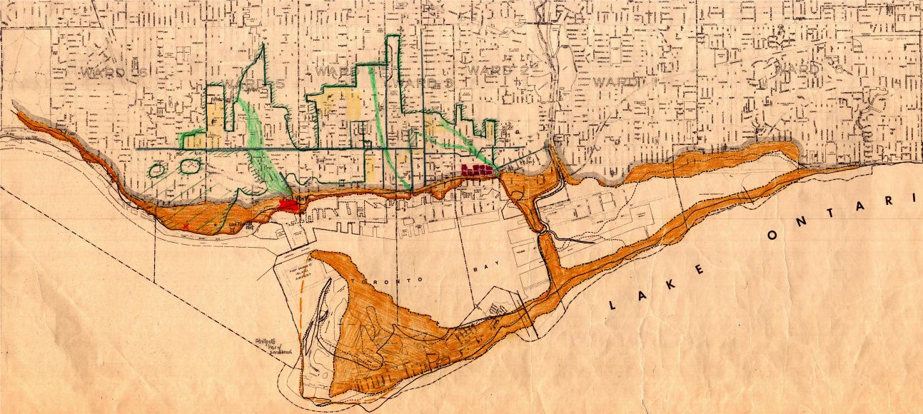
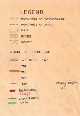
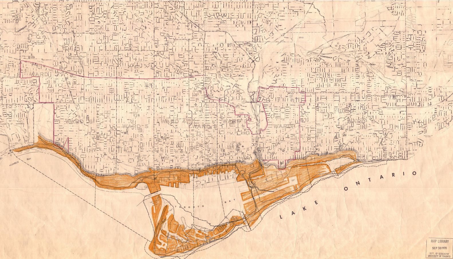
The evolution of the shoreline (and built-up areas), from a series of four 1957 City of Toronto Planning Board maps:
1780:
1850:
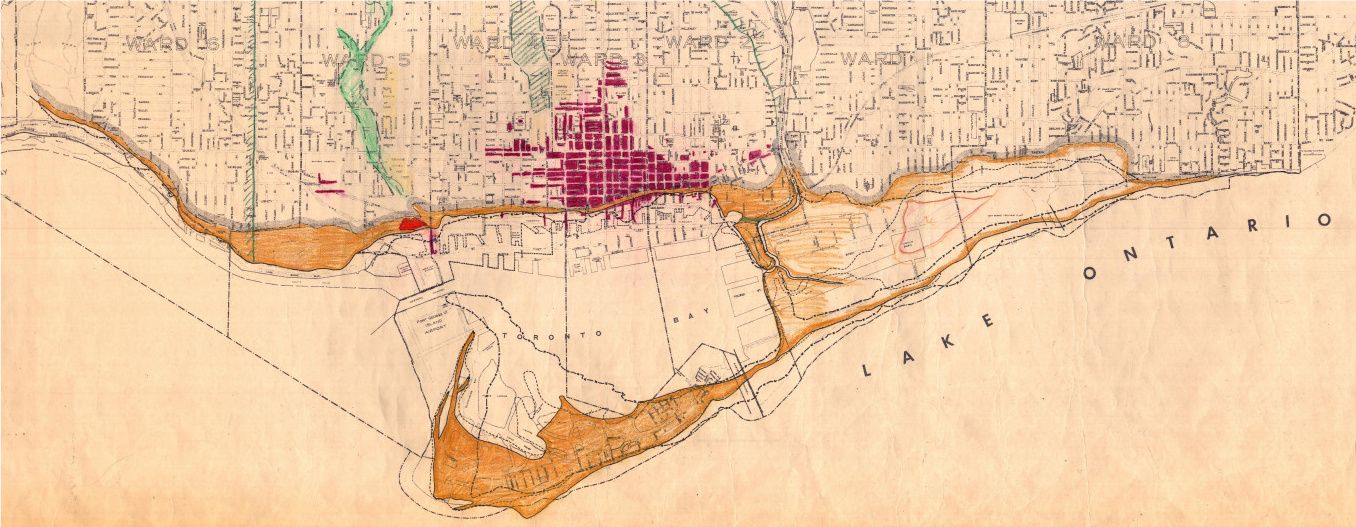
1890:
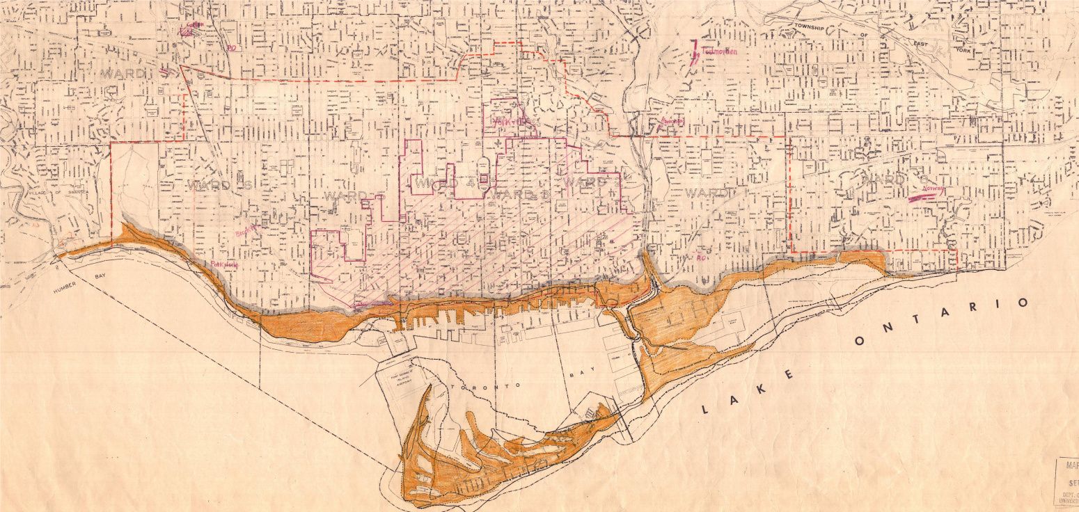
1920:
1780:
1850:
1890:
1920:
Last edited: