They seem to have done some work in this particular neighbourhood with the hydro.
In terms of other stuff, drab bus shelters. Garbage sitting on street, no garbage cans, ancient looking pavement. Go around the corner and it looks like a pothole fest (fill:
https://www.google.com/maps/@45.551...ata=!3m4!1e1!3m2!1sX8xvCBmW5mU1uv293ckgcg!2e0 and the other direction:
https://www.google.com/maps/@45.551...e1!3m3!1sX8xvCBmW5mU1uv293ckgcg!2e0!5s2007-09
Going to areas I know better.
https://www.google.com/maps/@45.468...ata=!3m4!1e1!3m2!1s-3h4h4puW1QriyJ9Ka1W0g!2e0 Hydro lines everywhere, sidewalks look ancient, I'm not even sure what those poles in the street are. At least the asphalt appears in decent shape.
https://www.google.com/maps/@45.470...ata=!3m4!1e1!3m2!1sa7IwJAoQv3ss1-XxHsymbw!2e0 Tons of wires. Tons! Asphalt in horrible shape. Very unappealing.
https://www.google.com/maps/@45.477...ata=!3m4!1e1!3m2!1sXXYuv5Y1pSuFxL6cTZn5Mw!2e0 Ditto
https://www.google.com/maps/@45.483...ata=!3m4!1e1!3m2!1sStD8Tcdt-1duLxVUvOhVrw!2e0 Not so bad, but not a tree in site, despite the space. No hydro, it was all buried here along the expressway in the 1960s (and was one of the few parts of the system that stayed up all through the ice store) - that's my old Cegep in the background. I guess this photo proves little ... but I'm not cherry picking here, I'm checking out my old haunts.
https://www.google.com/maps/@45.495...ata=!3m4!1e1!3m2!1s1ywWGeTTFlAD1nKn20gmOw!2e0 Check out the lack of sidewalks here (as bad it looks, it's much, much better than I actually remember it!). And despite that there's clearly been some major road rebuild since last I was here ... those aren't very exciting lamp posts.
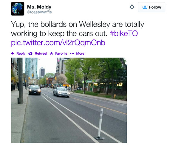
https://www.google.com/maps/@45.467...ata=!3m4!1e1!3m2!1shgn4-UjuhPAqTw1wY3s18A!2e0 Here's one of those much better bike lanes than Toronto (not). You can see a couple of poles to separate it from the road about 50 metres in the distance.
https://www.google.com/maps/@45.440...ata=!3m4!1e1!3m2!1szNrCBySDipenNWZLJNRSxQ!2e0 I used to take the bus down here commuting out to Dorval. As bad as it looks, it's no where near what I remember.
https://www.google.com/maps/@45.486...ata=!3m4!1e1!3m2!1s0IP8Dy_EfSO-7N79FUfLqw!2e0 I suppose this isn't that bad, though the asphalt is terrible. However it's a main artery - a provincial highway leading to one of the bridges. But again, far better than I remember.
I do admit that there does seem to be a more advanced program in terms of Hydro - perhaps an outcome of the icestorm a few years ago. But there's a long, long way to go. And I didn't see much in the way of fancy light poles, and clearly a major decifit on pavement, sidwalks. I'm not sure I saw a single garbage can in those photos.
I'm not sure what "St. Lawrence" is . But I did use to occasionally visit the old Dawson McGill campus in the old city. It felt like a very decript area -
https://www.google.com/maps/@45.500...ata=!3m4!1e1!3m2!1sD2WfUR1ZP9ZEjTe_bao3kg!2e0 but I have to say it's significantly improved (though it already had started a few years later when I walked through it in the late 1980s). Yes, here are the fancy light posts, decent pavement. But does it look much different than King East or Front Street East say around Jarvis to Scott?
I'm not surprised Montreal has put more money into the touristy areas. But the neglect elsewhere in the city is poor. Sure, perhaps some things are better, some are worse. But I don't see the grass, overall, being any greener. And I always scratch my head at the need to look elsewhere, and unnecessarily and unfairly trash our great city.


