Metroscapes
Active Member
Pictures of the switchback from contractor CSL, and highlighting the new segment on City maps.The 2km trail section from Military Trail to Neilson is now officially open.
CBC Story here:
|
|
|
Pictures of the switchback from contractor CSL, and highlighting the new segment on City maps.The 2km trail section from Military Trail to Neilson is now officially open.
CBC Story here:
anyone notice that the Slow painted on the pavement is facing people travelling up the hill. I think that was a mistake as it makes way more sense to have the Slow marking for people travelling downhill.Some pictures of the newly opened trail segment with people walking along it, released today:
View attachment 515098
View attachment 515099
View attachment 515100
View attachment 515101
Source for the above images: https://www.facebook.com/themeadoway
anyone notice that the Slow painted on the pavement is facing people travelling up the hill. I think that was a mistake as it makes way more sense to have the Slow marking for people travelling downhill.
Yes why it's in one (uphill) direction is odd. With, Ebikes, speed is very possible going uphill so it still could be valid before the tight corners but then I'd argue it should be on both up/down directions.
")
It's actually unfinished further West your arrow up top where there is coarse gravel & stone (nearly impossible to ride on). You can see the transition to gravel from asphalt just beyond the bridge in the picture prior to this.March 30.
I've been curious about the connection between the Meadoway and the Highland Creek Trail.
...
The trail appears to be unfinished between the two red arrows. See the next two photos for where the arrows are pointed.
View attachment 552445
This is also a tricky spot to ride, but doable. The stone is also very coarse here (for construction vehicles), and at times is closed off because equipment is actively on-site.The Highland Creek Trail at the bottom of the photo and the connection to the Meadoway at the top of the photo, just visible through the trees.
View attachment 552449
I'll ride it once the weather gets a bit warmer.
Thanks @Coolibop!I've ridden this a handful of times last year.
It's actually unfinished further West your arrow up top where there is coarse gravel & stone (nearly impossible to ride on). You can see the transition to gravel from asphalt just beyond the bridge in the picture prior to this.
This is also a tricky spot to ride, but doable. The stone is also very coarse here (for construction vehicles), and at times is closed off because equipment is actively on-site.
March 30.
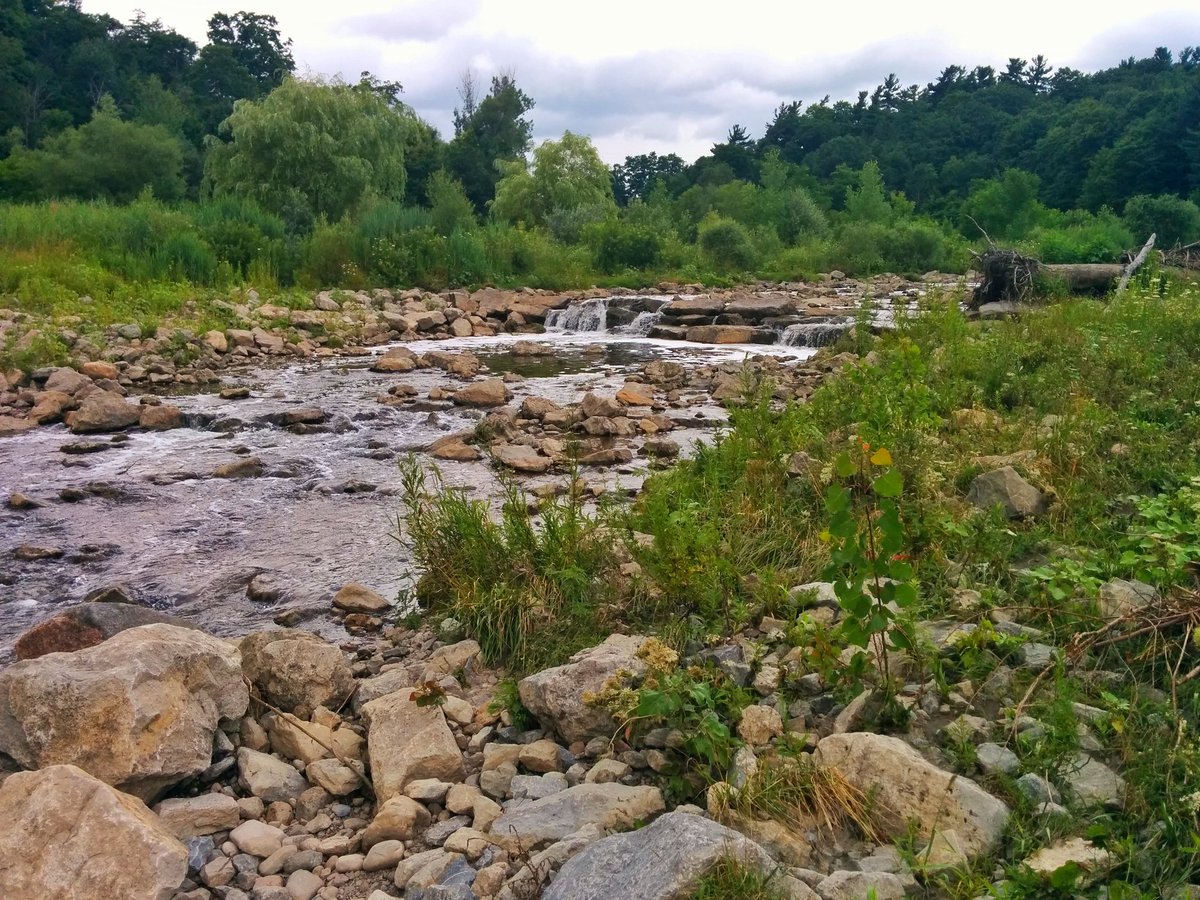
I've been curious about the connection between the Meadoway and the Highland Creek Trail.
Looking south. The Meadoway crosses Highland Creek at Ellesmere.
View attachment 552438
Looking north-east. The connection to the Highland Creek trail goes under the bridge.
View attachment 552440
Looking north
View attachment 552441
Looking north towards Ellesmere
View attachment 552442
Looking south.
View attachment 552443
The trail appears to be unfinished between the two red arrows. See the next two photos for where the arrows are pointed.
View attachment 552445
Looking north west. The construction staging area with the roadway leading to the parking lots in Morningside Park.
View attachment 552448
The Highland Creek Trail at the bottom of the photo and the connection to the Meadoway at the top of the photo, just visible through the trees.
View attachment 552449
I'll ride it once the weather gets a bit warmer.
Probably because it's unfinishedThe odd thing is I've tried repeatedly to get Google Maps to add both trails to Google Maps, painstakingly adding the "roads" with their editor, without success. They refuse to acknowledge this trail exists.
So make sure when you ride it to have G-Maps open on your phone with routing turned on. It will force Google to see that a bunch of people are taking a path thats not on Gmaps and make them clue in.
I just wish they had connected it north to Military Trail, or even beyond. But maybe one day it will be a future phase.Probably because it's unfinished
There were a couple of times last year I had to double back from Morningside Park and up to Ellesmere (via Morningside) as they closed the entire site off... Painful detour....
Openstteetmaps is the way to go here for navigation with Komoot and the like if you want to get the 'unofficial beta' trails
View attachment 552936