News   GLOBAL  |  Apr 02, 2020
 8.6K     0 
News   GLOBAL  |  Apr 01, 2020
 39K     0 
News   GLOBAL  |  Apr 01, 2020
 4.8K     0 

Panzerfaust

Active Member
Member Bio
Joined
Sep 1, 2007
Messages
246
Reaction score
0
Now entering alternate universe...
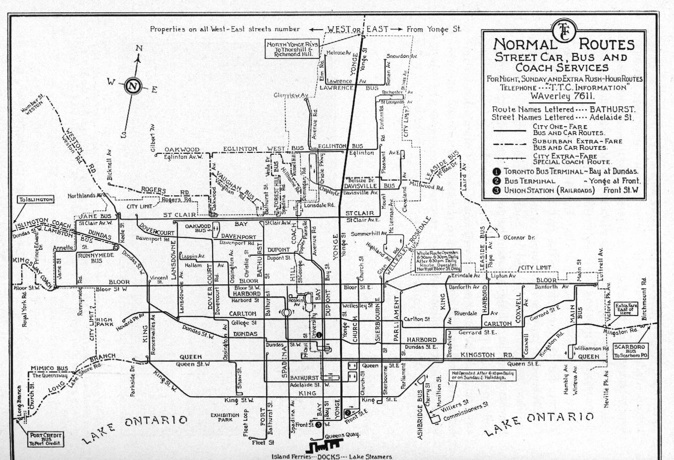
Toronto Star
May 9th, 1989

Etobicoke RT Opens to Great Fanfare


The official opening ceremonies for the new Etobicoke RT were held yesterday at Kipling subway station. The new line, running from Kipling Station to the Airport, uses the same ICTS technology which has been used to great effect on the Scarborough RT. Representatives from all levels of government were on hand for the ribbon cutting, which took place at 11 AM, followed by media trips on the new line. Official service begins tomorrow, with the first trains departing Kipling at 5:34 AM and the Airport at 5:49 AM... [continued]

Click here for map

Alright fellows, hold on, switching to another universe...

For public release:

Progress Report: Scarborough LRT McCowan North Extension
January 12th, 2007

The Scarborough LRT McCowan North extension, forecasted to run from the Finch Hydro Corridor north to Steeles Avenue, is currently being completed on schedule. The centre-road right of way is currently being paved, and completion is expected for August of 2007. This will complete the 30 year Scarborough LRT plan of 1978 six months ahead of schedule...

Click here for map

*****

So what exactly is this? This is just something I started working on when I was bored the other day, and it evolved into a thread idea. As I'm sure you all know, the TTC has had a lot of ideas for transit projects in the past, from bus routes that were never implemented all the way up to subway lines that lacked funding. But what if these things were implemented? How would it effect transit in the rest of the city, travel patterns, etc?

Well, in my first case, I'm assuming that, somehow, ICTS was implemented on the SRT without it being an utter disaster. That or the government didn't care and still wanted to show off their pet technology. This lead to funding for a twin line in Etobicoke (as was planned) running from Kipling to the Airport. The line was built on an elevated structure for the whole way, with provision made for a future extension into Malton.

I think that this would have had mostly positive benefits, though we'd be dealing with the same problems on that line today as we do with the SRT. There would be rapid transit to the airport, commutes from northern Etobicoke and Malton would be shortened significantly, and the extra platform at Kipling would actually be used.

My second idea is an alternate view of Scarborough. What if the TTC hadn't given in and chosen ICTS for the SRT, instead using LRT? What you see is my take on it, assuming that funding stayed consistent over the last 30 years or so. It's pretty much Steve Munro's wet dream. With LRT's low cost and versatility, expansions are constant. Using a combination of dedicated and on-street rights-of-way, LRT can put most of Scarborough's population within a short bus ride of rapid transit. It's quite honestly what I wish we could have today.

Now it's your turn. Take a point in Toronto's transit history and twist it a little, whether for good or for bad. You don't have to think whatever you're doing is a good idea, as this is just for fun. Let me repeat that: THIS IS FOR FUN. Please don't destroy this thread with "OMG THAT COULD NEVER HAVE HAPPENED" or "THERE WAS NEVER ENOUGH FUNDING FOR THAT". I just figured that for once we can leave the realm of the real behind and think about what could have happened.

This isn't limited to Toronto, by the way. It's more of a general GTA thing. This also isn't a fantasy maps thread, as I know we have one of those buried somewhere. This isn't about what we're going to do in the future, it's about what we could have done in the past.
 
I wonder how much it would cost to build along the Etobicoke RT corridor today... it would be a great link to the Airport, replace the increasingly busy 192, and probably be a lot cheaper than Blue-22. Especially since from Kipling, people hoping for a faster trip can hop onto the GO Train to Union.

But to use ICTS or LRT? The one thing missing in Transit City is the far west north-south connection.
 
This is not necessarily a Toronto only project but I think it deserves a spot in this thread. Sometimes past decisions are bad. Sometimes, maybe they are for the best. Had this happened, what sort of issues would we be facing today in rail travel? Would the network be much the same, or would it have lead to something totally bizarre? I would probably argue it is best in the end that this project and the ideas it spawned disappeared into the rubbish pile since the European experience has shown just what rail travel can do, and can be.

Toronto Star
1 September 1980


Despite a recent plan to abandon the UAC Turbo Train in favour of a new LRC rail car by Bombardier Transportation a government investment in the United States has lead newly formed VIA Rail Canada to change its plans. UAC has been able to redesign the Turbo Train to address efficiency issues and increase its speed marginally. The US$50 million investment in the technology has allowed T2, as the new model is being called, to meet the needs of the North American passenger rail market.

"We are excited that this technology has come of age and that recent investments in passenger rail in Canada will allow us to expand its use. We fully expect to see in increase to 6 million passengers per year by 1987 under current estimates, and as many as 7 million by 1990." commented the President of VIA.

Bombardier has since scrapped its LRC program and is focusing its attention on what it has dubbed 'Project Jet Train'. Using a turbine powered engine it will be able to achieve top speeds of 300 km/h, a feat many see as impossible for a passenger rail vehicle of any kind to do.

"This is the future. Bombardier will be a the global leader in rail technologies." stated a recent Bombardier press release.

Across the sea in France, Alstom is still developing its high speed electric locomotive, also known as a 'TGV'. The network and trains will begin operating next year, though whether the new technology will be successful still remains to be seen.

Turbo_Train2C_Montreal2C_1973.jpg

A Turbo Train outside Montreal's Central Station while it was still being operated by CN.
 
Or how about this story from the pages of alternate transit history.

Globe and Mail
9 June 2008


Bombardier Transportation saw it's stock rise almost 9% in trading today on the TSX. Rising oil prices have fueled specualtion that demand for it's high speed electric trains will further increase. With delivery to Spain of a CDN $550 million order begining this week, and on time, they are well positioned to receive the second HST contract in Spain, worth an additional CDN $365 million.

Today's announcement in the United States that Amtrak will be developing a high speed passenger rail program also helped Bombardier. The company is seen by many analysts and speculators as the top candidate to provide rolling stock for the project.

On Friday the company will celebrate the 25th anniversary of its BHST program. Though at the time many critics blasted the company for abandoning it's plans to develop a high speed gas powered turbine propulsion system this has become a footnote in the companies history. Since that time it has become a world leader in high speed train technology, along with Alsthom of France. During the festivities planned for the day, Bombardier's president will also formally announce a new model, currently called the BHST 4, which is being based on the prototype that, for the time being, holds the world's speed record for rail travel at 590.2 km/h, narrowly beating the record set by Alsthom only a few months earlier. This represented the 15th time the record has switched hands between the two companies.

Rumours that Bombardier will need to further expands it's Toronto production facilities, and invest further in it's research and development program have also helped push the companies stock higher in the past week.
 
Toronto Star
June 16, 2008


The City of Toronto will be opening up the old King Subway Station to the public this Saturday in a celebration of our city's rich heritage. Toronto's short lived suway system opened in 1954 along what was then Yonge St., but after two years was closed in a move mired to this day in controversy. Cospiracy theorists hold that large automobile manufacturers bribed the city with promises of jobs and quick cash.

King is the last remaining subway station. Most of the others were demolished during the construction of the Yonge Expressway in 1961. The subway's Union Station was converted into a bomb shelter at the height of the Cold War before the former railway hub was redeveloped as a convention centre in 1985. It now serves as the second largest wine cellar in Ontario.

Walking into King Station is like walking into a dream of what Toronto could have been. Turning to look down the tunnel, one expects to see the nearing lights of an on-coming train only to find a leaking brick wall glaring back at them.

Toronto Daily Gazette
June 16, 2008


An exhibit at the ROM this month showcases humanity's brief infatuation with the horseless carriage. The horseless carriage, or automobile, was an early 20th Century invention that promised a revolution in the way people got around. However, the automobile was not well received by the average man who continued to put his faith in the trusty old horse.

Transit enthusiasts despair the world's response to the promise of the horseless carriage. Hellen Johnston says, "Horseless carriages could have gone fast, but we're stuck on streetcars behind slow old horses for hours!"

A study done by the TTC last month found that a small pause by just one horse on one end of a streetcar line can cause delays of up to 40 minutes on the other end. Horses are also detrimental to the sanitation of the city. It is hoped that the rising cost of hay will pressure more people to switch over to public transit.

;D
 
Why have the Etobicoke RT stop at the airport?

It could go further and branch off and have one end terminate at York University and the other end up with a stop in Brampton to provide a connection there.
 
Toronto Star

April 1st, 1933


Today we finally break ground on Toronto's first subway network. Starting with 2 lines, one for Yonge St. downtown and another to serve Dundas St. downtown and eventually branch out in the north east and north west directions throughout the city.

I think there was a pre-WWII plans for a subway system like that for Toronto.
 
No news article to go with this one, as it's based on someone else's work. I'm sure many of you are familiar with the Transit Toronto article "What if the Queen Subway was built instead of the Bloor-Danforth?" written by James Bow, located here: http://transit.toronto.on.ca/streetcar/4016.shtml

Well, I decided to make a map based on it about what the city's subway and streetcar network would look like in 2000, as per the article.

Here it is

EDIT: Oh god dammit, this is why I hate google maps and long for an alternative. It's split the lines onto two pages, and you can't view them at the same time. GOOGLE! *shakes fist*
 
Another thing is, is how different Queen St. would be, particularly downtown, on the Queensway and Queen St. E.

It would have density and highrises pretty much throughout the entire length of the street much like Bloor/Danforth is today, which would make for a radically changed Queensway and a more built up and busier Queen E.

And we probably would be entering High Park on the Queensway end instead.
 
No news article to go with this one, as it's based on someone else's work. I'm sure many of you are familiar with the Transit Toronto article "What if the Queen Subway was built instead of the Bloor-Danforth?" written by James Bow, located here: http://transit.toronto.on.ca/streetcar/4016.shtml

Well, I decided to make a map based on it about what the city's subway and streetcar network would look like in 2000, as per the article.

Here it is

EDIT: Oh god dammit, this is why I hate google maps and long for an alternative. It's split the lines onto two pages, and you can't view them at the same time. GOOGLE! *shakes fist*

I don't know if I agree entirely with the assessment, but well done nonetheless.
 
http://maps.google.ca/maps/ms?hl=en...015,-79.862537&spn=0.036013,0.088921&t=h&z=14

In the early 1980s, as the TTC was being persuaded to use ICTS for the SRT, the Ontario government offered the technology to Hamilton as well. We turned it down. Nowadays, we know that to be a good thing, seeing the clusterfuck that was the SRT. However, the above shows what the initial Hamilton ICTS line would have looked like. It took me FOREVER to find concrete info on the route, finally managing to find it in a skyscraper page forum posting. The downtown loop would be one way clockwise. There would have been a massive rehaul of Hamilton bus routes to point them at RT stations, with several new routes created.

Frankly, I can't help but be glad that we turned down the technology. Yeah, no rapid transit, but the downtown loop would have needed to be reconstructed soon after opening due to the turning radius problems we now know the ICTS cars to have. That would have been incredibly expensive, and chances are any expansion possibilities would have been shot down by the same forces that prevented an extension of the SRT.
 
1950's style Transit City

After World War II, the availability of cheap vehicles and fuel spurred growth of both private automobile use and use of buses for transit.
The thinking of that time was that streetcars were obsolete and buses would be better for the transit public.
With hindsight, it turned out that buses caused ridership to plummet in cities that converted their streetcars to buses.

In Toronto's case, they mostly converted streetcars to heavy rail (subway).
However, they also converted some of the streetcar routes to buses, which resulted in a decrease on the route's ridership.
Sometimes it was "temporary" like on Spadina. On others, it was to extend routes, like on Lansdowne.
Others were converted because of low ridership, like on Davenport.
This map below shows the status of the Toronto Transportation Commission during World War II.
guide1940.jpg


With the establishment of the Toronto Transit Commission and the Yonge Subway, instead out extending streetcar routes into the outer suburbs of Metropolitan Toronto, they used buses.
rg1957.jpg


By the 1960's and the Bloor-Danforth Subway, more streetcars routes were gone, like the Coxwell and Oakwood streetcars.
guide1966f.gif


What would have happened, if in the 1950's, instead of using buses for the new extensions, streetcars were used?
The Bathurst streetcar could have gone all the way up to Steeles.
Eglinton would have been all streetcar, instead of the short portion between Caledonia and Oakwood.
We may even have already had a Eglinton right-of-way in Etobicoke, instead of just planning for it.
Other arterial roads, could have been streetcar routes from the 1950's to now, such as Lawrence or Finch.
And they could have had right-of-ways from the start.

However, streetcars were thought as obsolete in the 1950's.
The ridership preferred streetcars, and the single-occupant automobiles preferred buses.
And the buses won.

Until now, hopefully.
 
http://maps.google.ca/maps/ms?hl=en...015,-79.862537&spn=0.036013,0.088921&t=h&z=14

In the early 1980s, as the TTC was being persuaded to use ICTS for the SRT, the Ontario government offered the technology to Hamilton as well. We turned it down. Nowadays, we know that to be a good thing, seeing the clusterfuck that was the SRT. However, the above shows what the initial Hamilton ICTS line would have looked like. It took me FOREVER to find concrete info on the route, finally managing to find it in a skyscraper page forum posting. The downtown loop would be one way clockwise. There would have been a massive rehaul of Hamilton bus routes to point them at RT stations, with several new routes created.

Frankly, I can't help but be glad that we turned down the technology. Yeah, no rapid transit, but the downtown loop would have needed to be reconstructed soon after opening due to the turning radius problems we now know the ICTS cars to have. That would have been incredibly expensive, and chances are any expansion possibilities would have been shot down by the same forces that prevented an extension of the SRT.

Thanks for hunting that info down, I have often wondered what the planned route would have been. Did the SSP posting have any additional info? The station spacing seems strange.

I don't understand why on earth you would consider it a good thing that Hamilton passed up an opportunity for true rapid transit. Hamilton would likely be a different, more vibrant place today had this been built.

And what is this about "a turning radius problem" for ICTS that would have required reconstruction of the line after opening? I've never heard of such an issue. The technology is used successfully in Vancouver and Kuala Lumpur.
 

Back
Top