


Kyle Campbell
Active Member
That would include GO Trains, UPX, the Pearson Terminal Link, subways, SRT, LRT's, and streetcars.
Without the pearson link, that's a perfect map.
|
|
|
That would include GO Trains, UPX, the Pearson Terminal Link, subways, SRT, LRT's, and streetcars.
I wonder if that has more to do with the availability of WIFI, for example, every mall and coffee shop and a lot of restaurants have free WIFI heck even the TTC has it in all the stations, I even noticed the other day on a TTC bus WIFI labelled TTC piolt it had no internet access when I connected to it but it seems like the TTC is moving aged with having WIFI on surface vehicles.. Go transit is now testing it on trains and has it in most sations. When I was in Australia in January last year free public wifi was either slow or hard to connect to or non-existent nor had to be paid for to use.That said, as far as developed countries go, only Canadians worry about data roaming fees for minor uses like pulling up directions. They're paying closer to $10 for 200MB of international data which is sufficient for a months worth of mapping activities.
I was thinking about why that distinction today, and what it comes down to is that rail transit tends to be a 'level above' bus and other transit. It gets you to where you're going in the fastest and most direct way in most instances.All the argument against putting GO lines on the same map ignore one point: we are not asking for a map with all different transit systems. We want a RAIL transit map in the GTA. Period.
Thank you. I just think being a real man means standing up for what you believe in. Glad we're on the same page.I bit my tongue when I saw Rob's comment, but I just knew someone would get triggered ?
Subway lines are ~17 pxiels wide while the GO lines are ~7 pixels wide. They need to be closer to the same level of thickness.
The TTC system map does show GO lines, but really it ends at Toronto's border. I was thinking more of a regional rail map into the surrounding GTA municipalities.
Thank you. I just think being a real man means standing up for what you believe in. Glad we're on the same page.
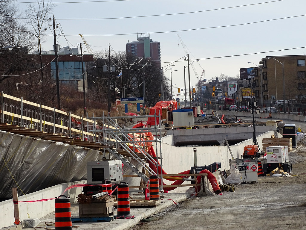
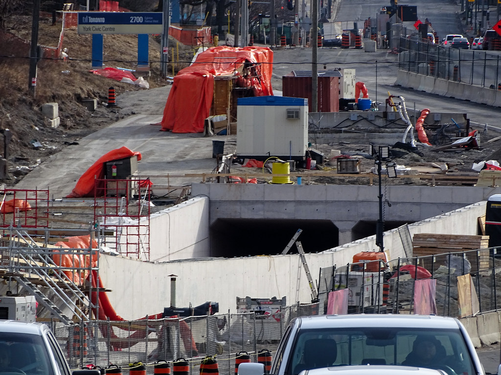
What in the hell happening here that a full closure is require for 2 months??? Building tracks across an intersection can be done one weekend with no turning allow.
Invitation: Leslie Intersection Town Hall Meeting
Join us at a community meeting to learn about upcoming construction works that require a two month closure of Leslie Street at Eglinton Avenue East in July & August 2019.
Closure details including TTC impacts, pedestrian access and construction schedule will be presented, followed by a Q&A period.
Date: April 4, 2019
Time: 7:00 p.m. – 8:30 p.m.
Venue: Japanese-Canadian Cultural Centre, 6 Garamond Ct.
Parking available
TTC access: 34C EB, 34A WB, 100 NB, 25 SB.
What in the hell happening here that a full closure is require for 2 months??? Building tracks across an intersection can be done one weekend with no turning allow.
Wow... this is going to ruin transit and traffic in the area. Leslie is the ONLY option for heading north when traveling on Eglinton right now (Between Bayview and the DVP)
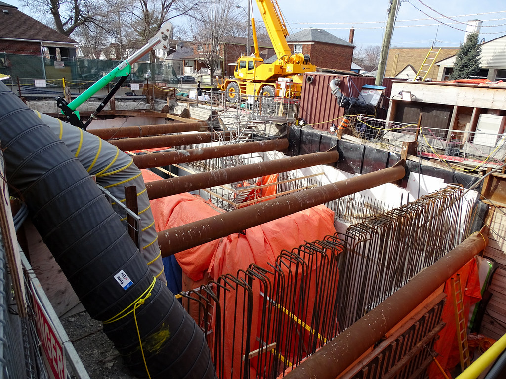
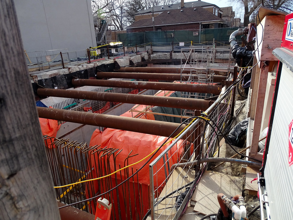
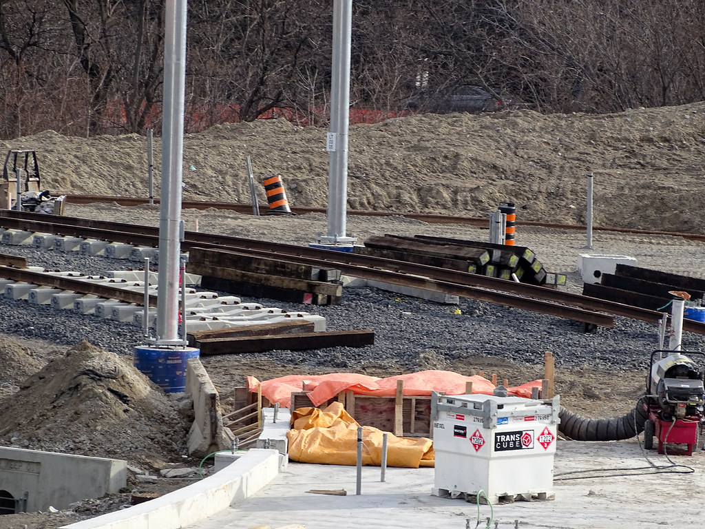
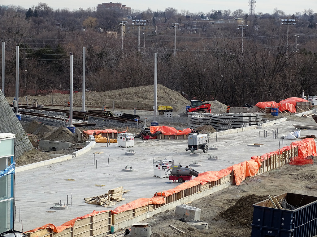
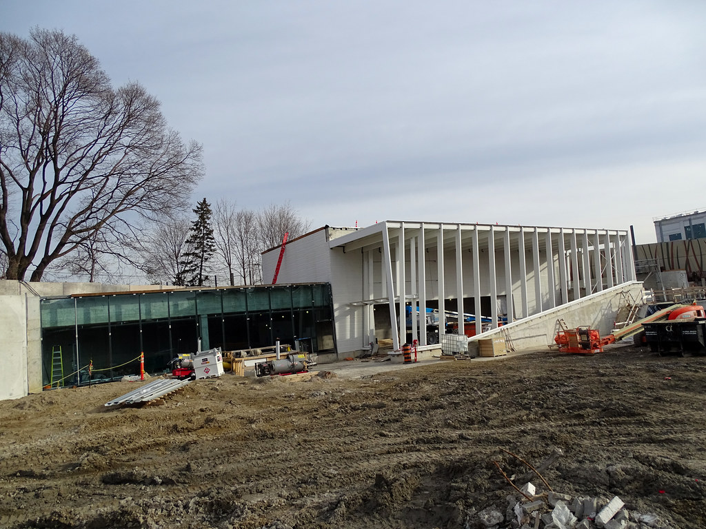
There’s still a bit of work to go, but this box area directly under the Eglinton-Don Mills intersection will house the platform for Science Centre Station

March 24
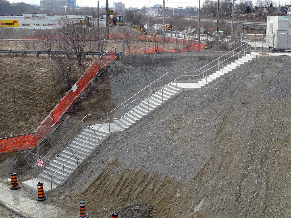
Keele 2nd entrance
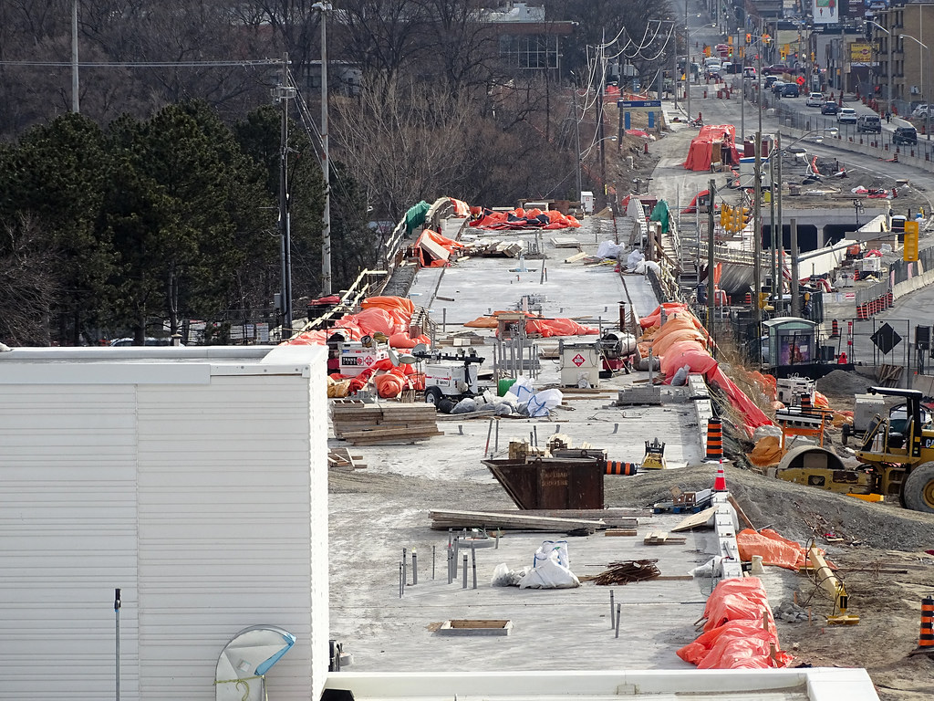
Another 60 up on site