Finally made it out on Thursday to do some photographing that I have being trying to do for some weeks and had a refresh visit to the area.
A few hiccups doing the elevated line north of Dundas to south of St Clair. The first one, is Metrolinx willing to spend 10 of million dollars to do this when they only have to start north of Bloor St and end south of Davenport at 2% grade?
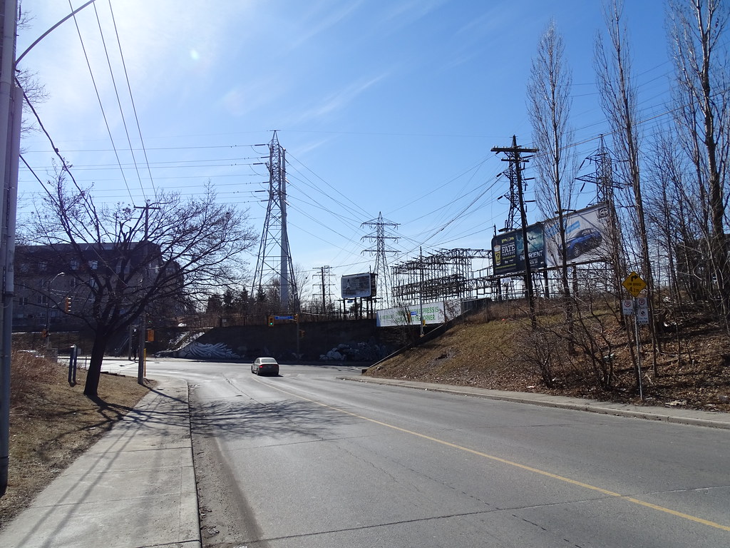
The 2nd hiccup and a real issue is Hydro One Feeder line into the substation at Davenport. If the line is elevated 5-7m over Davenport Rd, it will run right into the feeder line of Hydro One and the tower supporting it.
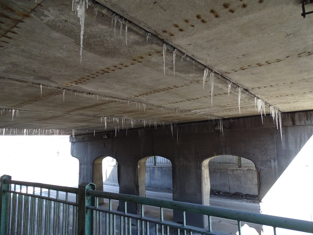
Metrolinx has already from what I saw replace the support beams over Dupont Rd and a slippery slope for being sue if the ice sickles fell off the bridge onto traffic or pedestrian as they pass under that bridge. The sidewalk is a skating rink in places from the dripping water from the gap between the concrete beams. Will post the photos showing this when I have time.
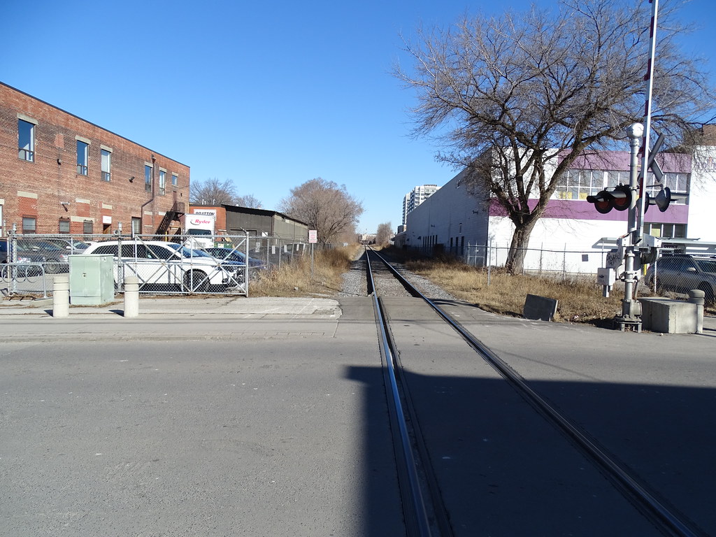
Regardless where the grade starts south of Wallace Ave, Wallace Ave will be free of tracks. If the elevation starts north of Wallace Ave, grade crossing will remain.
For Paton Ave to be reconnected, the elevation has to start south of Bloor St.
The corridor south Wallace is double track area and about 100' wide. North of Wallace, not sure if the land been sold off on the west side or lease, but it inferences into the corridor with only 1 track for about a block or so and goes back to the 100' width.
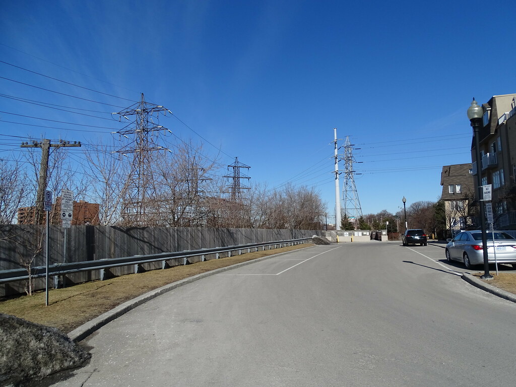
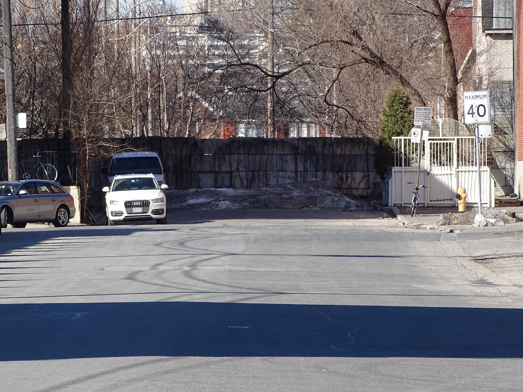
There are less residents living beside the corridor than I thought, but a few 100 at best. To deal with the viewing issue, some type of wall may have to be built in places to deal with the concerns of residents.
In the end, an elevated line starting south of Bloor St to south of St Clair would be the best option as it would remove all existing underpasses, open up 2 close off street, create a greenbelt for the area.
For the amount of riders that will be using this line in the coming years, their needs out weight the needs of the locals and the NIMBY folks. If the elevation cost $200 million in place of $120, money well spent. The city needs to pickup the cost of the green belt, not Metrolinx, but having Metrolinx kicking in some money will go along way to things a lot smoother to do.
As for freight trains, can't see any need to use the line south of Finch since this is in CN neighborhood in the first place that services the tank farms north of Finch. It been too long for me to know if there is any sidings still in use north of Eglinton that would see a CN train in the first place.
At some point, Castlefield Ave will have to be grade separated.