


SimonP
Active Member
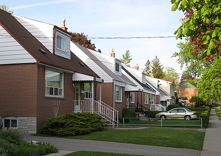
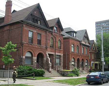
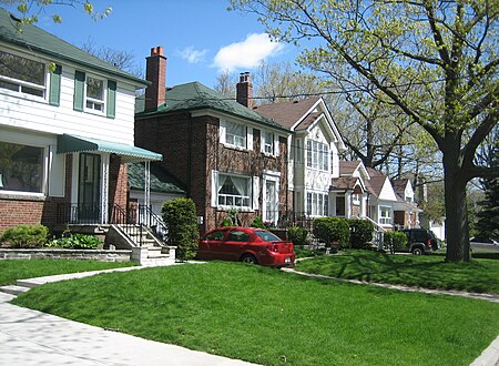
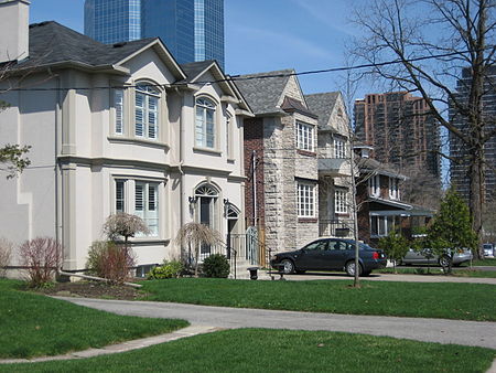
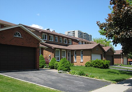
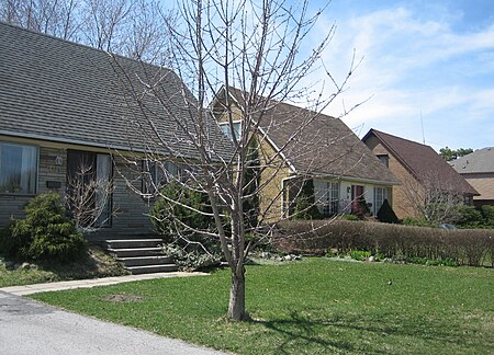
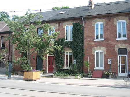
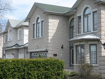
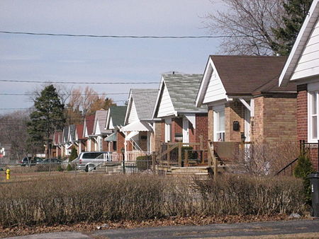
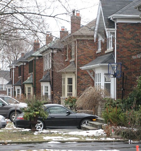
Over the last couple of years I've been working to illustrate the Wikipedia articles on the various Toronto neighbourhoods. For each article I've tried to get a shot showing a cluster of "typical" houses for that part of the city. Together they form an interesting gallery of the diversity of house styles in Toronto. There's a huge amount of variance between our neighbourhoods, even between the suburban ones that are sometimes thought of as undifferentiated sprawl.
Here are some of the photos:
Harbord Village:

Clairlea:
Cliffside:

Bendale:

The Annex:
Thorncrest Village:

Birch Cliff:
Lansing:
O'Connor-Parkview

L'Amoreaux:
Don Mills:
Governor's Bridge:
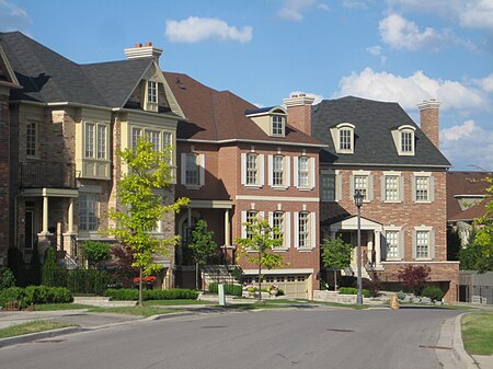
Bridle Path:

Humber Summit:

Corktown:
Cabbagetown:*

*This one was taken by another Wikipedia user
Richview:

Willowdale:
Oakridge:

Newtonbrook:

Armour Heights:

Dorset Park:

Upper Beaches:

Scarborough Junction:
Leslieville:

Leaside:
Here are some of the photos:
Harbord Village:
Clairlea:
Cliffside:
Bendale:
The Annex:
Thorncrest Village:
Birch Cliff:
Lansing:
O'Connor-Parkview
L'Amoreaux:
Don Mills:
Governor's Bridge:
Bridle Path:
Humber Summit:
Corktown:
Cabbagetown:*
*This one was taken by another Wikipedia user
Richview:
Willowdale:
Oakridge:
Newtonbrook:
Armour Heights:
Dorset Park:
Upper Beaches:
Scarborough Junction:
Leslieville:
Leaside:
