A front page story about the TOC sites for this station has been posted
here. At the same time,
a new database file and thread has been created for the North TOC Site
here, while the former
663 King West thread has had the
South TOC Site database file attached to it... so as more info comes in for the TOCs, and once they get going on the TOC work, those threads are there for that.
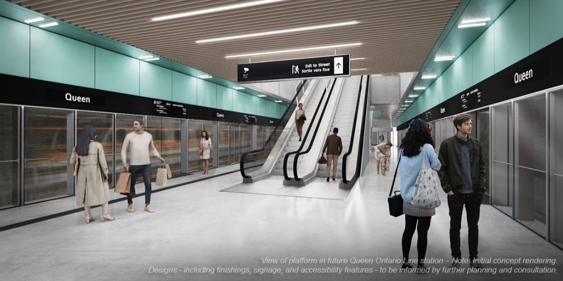
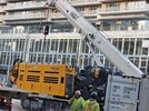
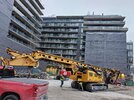
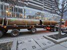
For the next while though, work here is still going to be station-related, including initial excavation. Does anyone know what the construction timeline is?
First, each track is getting its own tunnel, right? Not combined like on the Scarborough Subway Extension? So, if I remember that correctly, then do the TMBs travel through here first, lining the tunnels with concrete sections, like any other piece of tunnel, and then…
Second, does excavation at this site removed the earth from around the tunnels, and then remove the tunnel lining here so as to build the larger station areas around the tunnels?
Is mining required for the bit under the intersection? I take it that this is so deep that we're not cut-and-covering the station box itself? I can bug Metrolinx about this, but does anyone know before we initiate that conversation (which could take weeks depending on how responsive they are)?
Anyway, carry on here with posting in this thread. Just please remember that when TOC-related info comes up to post it in the threads set up for it, and linked at the top of this post!
42