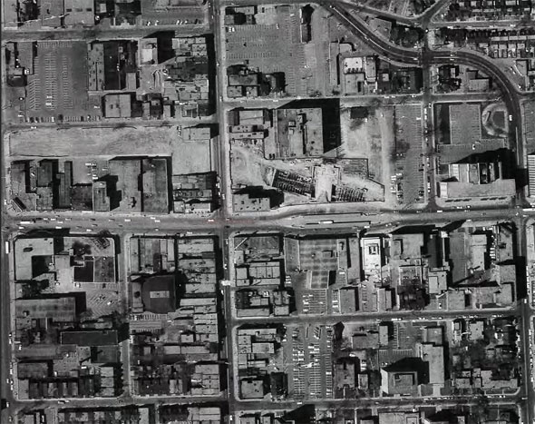
No - I don't think it is possible under the bridge. So you would get off at stockyards and walk there. Not ideal, but not sure how else they could do it.

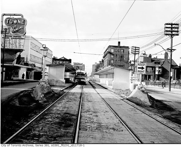
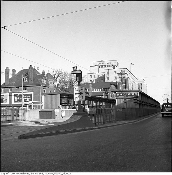
In a public meeting, Metrolinx said they couldn't build a direct connection between the streetcar platforms and the GO station with the current design. The right of way is too narrow on St. Clair, and the slope of the underpass presents additional challenges. The superior option to the current plan would have been to depress the railway corridor and build the station in a trench in my opinion.

That way, they could have eliminated the underpass on St. Clair altogether, with St. Clair passing over the railway corridor trench on a bridge (without any slope to it). It would have been easier to engineer a direct connection from the streetcar platform to the GO platforms using stairs and elevators. The public right of way would have become wider and would not have been constrained by a sloping roadway on St. Clair.
 
Last edited:
That would be a great solution but cost mucho mucho dollars!
 
I would have liked to see an underground streetcar loop. Yes it would be more expensive but it will never be cheaper than now to do it because they are replacing the St Clair underpass, building the Davenport road extension, and building the station and numerous high-rise buildings around it are being built at the same time. The place will be a big pit to begin with. Not doing it now means not doing it ever and having traffic and pedestrian conflicts at St Clair and Weston far worse than what occurs today.
 
I would have liked to see an underground streetcar loop. Yes it would be more expensive but it will never be cheaper than now to do it because they are replacing the St Clair underpass, building the Davenport road extension, and building the station and numerous high-rise buildings around it are being built at the same time. The place will be a big pit to begin with. Not doing it now means not doing it ever and having traffic and pedestrian conflicts at St Clair and Weston far worse than what occurs today.
I agree. They should just make the terminal stop St. Clair-Old Weston, make it go underground and connect with the GO Station, then remove the tracks/stop after the GO Station. This would be the smartest appraoch.
 
I agree. They should just make the terminal stop St. Clair-Old Weston, make it go underground and connect with the Go Station, then remove the tracks/stop after the Go-Station. This would be the smartest appraoch.
Reminiscent of the old Bloor streetcar platforms for the Yonge subway.

From link.

20150825-YongeBloor-Aerial.jpg

20150825-YongeBloor-1950s.jpg

20150825-YongeBloor-StreetcarStop.jpg


However, for today, would require elevators and escalators, which would add to the space. They could crossover the streetcar tracks to use a single wide island platform with elevators and escaltors.
island_platform.jpg
From link.
Westbound on the left and eastbound on the right?
 
Glad to see Metrolinx spares no money when it comes to station building and construction!

I mean seriously though, it's as if they love opulence when it comes to building parking garages and just go right down to the barebone when it comes to station designs. You know, the exact opposite of what they should actually be doing.

In summary, this station design is downright embarrassing.
 
Metrolinx is seriously half assing this one. No planned transit oriented development or proper to connection to one of the rare exclusive r.o.w streetcars in the city. A new branch of track north of St. Clair in order to loop within the already planned for bus loop is possible, but is not occurring for some reason.
1692898515188.png


Such a integration of new GO service and existing streetcar routes is not without precedent, as the soon to be built Park Lawn GO in Humber Bay Shores will see new track of the 501L streetcar built directly into the station.
1667986875621-png.438113


Honestly cannot figure out the rationale on not doing this, especially considering the widening of the rail overpass will see St. Clair in this area torn up any way.
 
I feel like this gets explained over and over on social media and forums like this.
-MX designs stations, not TOC
-IO designs TOC, not stations
If MX produces a rendering that doesn't show a TOC they haven't designed, a deal for which may well not yet exist, it doesn't mean there won't be an integrated TOC.
Does it make sense to release a sketch that doesn't really show its final context? Maybe not.
Do people like to look at renderings and comment based on what they see? Of course!
But should people understand this pattern by now? Probably so.
Metrolinx used to have responsibility for GO TOC, it's true, but as per their website, IO now has responsibility for all TOC and maaaybe there won't be one here but I certainly wouldn't come to that conclusion based on a rendering from the people who have nothing to do with the TOC.
 
I'm not sure a streetcar loop here would make sense. One previous post suggested making it the terminus and removing the tracks to the west, but that inconveniences riders that use them now, who would have to walk a considerable distance or transfer. The discussion has always been making the 512 longer, not shorter. Adding the loop to the existing route would add about a kilometre of track with 8 curves and several minutes to the route. Again, this inconveniences existing riders unless they are traveling to the GO.

From St. Clair/Weston I measure about 170 meters via the planned pedestrian access, and 1000 metres via a theoretical streetcar loop with all those sharp turns. Any time savings?

Given the changes planned for the road network around the station, rerouting some buses there and optimizing walk-in paths is probably a more practical solution.
 
Something being depicted on a map doesn't mean it's viable to build over in real life.
 
I'm not sure a streetcar loop here would make sense. One previous post suggested making it the terminus and removing the tracks to the west, but that inconveniences riders that use them now, who would have to walk a considerable distance or transfer. The discussion has always been making the 512 longer, not shorter. Adding the loop to the existing route would add about a kilometre of track with 8 curves and several minutes to the route. Again, this inconveniences existing riders unless they are traveling to the GO.

From St. Clair/Weston I measure about 170 meters via the planned pedestrian access, and 1000 metres via a theoretical streetcar loop with all those sharp turns. Any time savings?

Given the changes planned for the road network around the station, rerouting some buses there and optimizing walk-in paths is probably a more practical solution.
I agree, this should not be the new terminus as a 512 extension to Runnymede or Jane would be very valuable. However from what I can tell, the walk from the 512 stop at Old Weston to the station building is roughly 300m. This is by no means undoable, but this definitely feels less than optimized. One of the best parts of the streetcar network is how well they were integrated into the subways, providing very convenient and comfortable transfers. I think it would be a shame if we did not continue this where possible. Such a outdoor walking transfer will definitely reduce the utility of the new station and ultimately the amount of people who will use it.
1693062148518.png
 
They could always elevate the streetcar over Old Weston, the rail corridor and Keele/Weston. Add no trackage to the streetcar route. Reduce pedestrian conflicts. Not crazy expensive. It could be our little Broadway Junction.
 

Back
Top