From Mt. Pleasant the track continues WNW to Georgetown and South East to Brampton
No it doesn't Georgetown is south of Mount Pleasant. Brampton is north of Mount Pleasant. Kitchener is south of Toronto.

It's not how one tends to think, but look at map.
 
No it doesn't Georgetown is south of Mount Pleasant. Brampton is north of Mount Pleasant. Kitchener is south of Toronto.

It's not how one tends to think, but look at map.

so Main and Church in Brampton is North of Bovaird and Creditview in Brampton?
 
Last edited:
That's a bir strong. I think when the province first went to accrual accounting, spending on the capital budget probably seemed a bit like free money. But McGuinty discovered that even if voters don't care about debt, the bond markets sure do. Borrowing to buy track is alot harder now, if anything I think the government were prefer to rent.

My statement had nothing to do with the accounting.

It is significantly easier to pry capital funds for a biggish project out of Toronto/Ontario/Federal politicians than it is to get a small amount annually. This has been true for at least 3 decades across all parties and is why the TTC (and some other Toronto departments) have shifted numerous items normally covered by operating budgets into their capital budgets as large projects instead.
 
Last edited:
so Main and Church in Brampton is North of Bovaird and Creditview in Brampton?
Main and Church is about a kilometre further north than where Creditview and Bovaird used to meet (which is the corner of Salvation and Commuter these days). Though it's about 4 km further west.

The same way that London England is north of Toronto and Edmonton. And Toronto is south of Paris, Venice, and Seattle.

you just turned 42 years of living in Brampton upside down!
 
you just turned 42 years of living in Brampton upside down!
Hahaha. It's all a matter of 'relative to the grid' vs 'absolute north'. The grid in Peel and Halton is on about a 45 degree angle from true north. The 410 and Queen is at pretty much the same latitude as Main and Bovaird. Toronto's grid is a little bit less 'crooked', but it's still not directly N-S. If you want a place that is, look at much of the midwestern US, or much of Saskatchewan for that matter.
 
you just turned 42 years of living in Brampton upside down!
That's okay, I think I was driving from Toronto to Kitchener for 15 years before I realized that once you got Pearson, you were actually getting further south instead of north! Particularly west of Winston Churchill, the 401 is almost due southwest ... and in my mind it's more northwest.
 
March 13
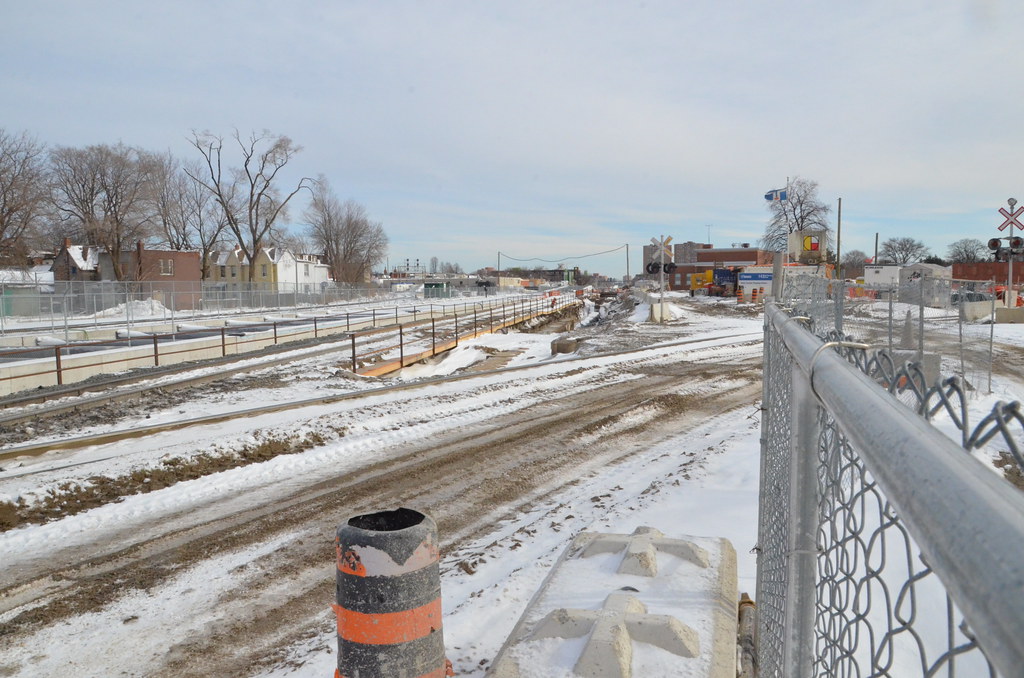
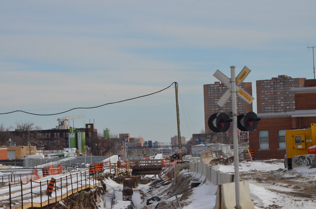
The shifting of the current line at the diamond will not happen this month as plan. They are shooting for the end of April, but more early May now and hopping for better weather.

Even with the 2nd crew, very little headway has been made for the floor and ramp due to the weather.

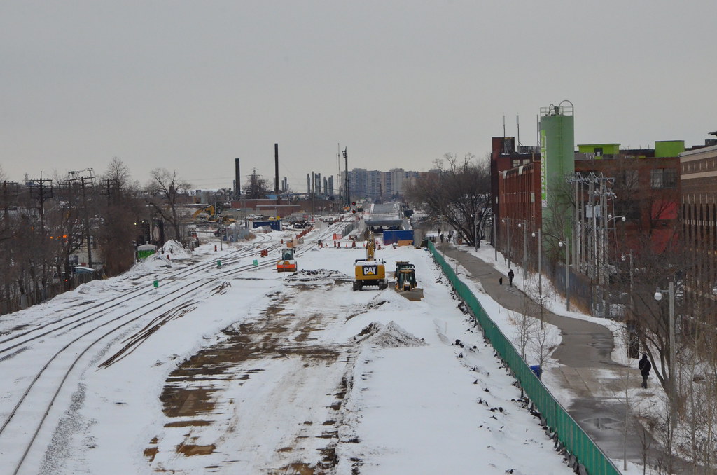
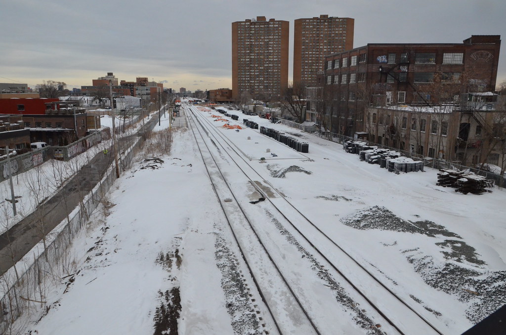
The grading for the tracks south of Dupont is less than 50% up to the Wallace Overpass. You can see it narrow down to one track by the overpass.

The rail for the new track is laying along side the retaining wall.

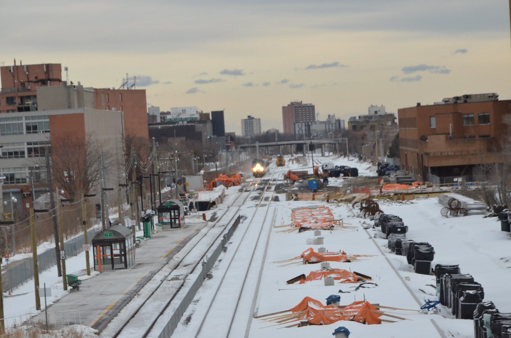
The west side of tunnel 2 retaining wall south of the diamond is cap off with some work taking place north of the diamond.

As for Union Station UPX, they had steel up a few weeks ago.

Some footing for Bloor Station being built with a lots of mat rolls beside it.

Today shooting was unplanned and only took place of a meeting being cancel in the morning for the afternoon in Burlington.
13138090444_4c6a8ef07a_b.jpg


13137804805_5a08980165_b.jpg


13138137254_c56a45aaa7_b.jpg


13137856745_b179b900a4_b.jpg


13138079204_c2a7323fa3_b.jpg


Under Construction

UPX Union Station as seen from TELUS House March 10

UPX_UnionStation_20140310_02.jpg


UPX_UnionStation_20140310_04.jpg
 

Attachments

  • UPX_UnionStation_20140310_02.jpg
    UPX_UnionStation_20140310_02.jpg
    97.3 KB · Views: 833
  • UPX_UnionStation_20140310_04.jpg
    UPX_UnionStation_20140310_04.jpg
    94.2 KB · Views: 839
Last edited:
I hate shooting videos with the Nikon D7000 and since I paid an unexpected side trip to the Wallace Overpass and not having the other camera with me, lost focus since I didn't have the finger on the button. You can see the section toward the grade separation being prepare for the base and mat for the new tracks at the West Toronto Diamond.
[video=youtube_share;cki_daJIThI]http://youtu.be/cki_daJIThI[/video]
 
drum, I respect you and your knowledge but I have to say, people are rightfully upset about all day service not happnening soon. You can't tell me they can't at least do 1/2 hour service from Bramlea to Union from 9:30 to 15:30 and 19:00 to 23:30 and vice versa. It ridiculous they have spent all this money and won't serve the people that acutally live along the corridor outside Weston/ the northern part of the former city of york. They are dragging their feet.
 
Weston and former York are much denser than Brampton. It makes sense to provide service that is appropriate to the density and ridership potential. And that means buses for Brampton. It's sort of like how Waterloo is not building LRT for Cambridge. You have to build transit that is appropriate for the extreme low density exurban sprawl of outer 416 and Brampton. Buses would be more fitting. All day GO Train service to Bramalea would be even worse that a subway to SCC. What is there at Bramalea? Just a bunch of factories and warehouses there...
 
Weston and former York are much denser than Brampton. It makes sense to provide service that is appropriate to the density and ridership potential. And that means buses for Brampton. It's sort of like how Waterloo is not building LRT for Cambridge. You have to build transit that is appropriate for the extreme low density exurban sprawl of outer 416 and Brampton. Buses would be more fitting. All day GO Train service to Bramalea would be even worse that a subway to SCC. What is there at Bramalea? Just a bunch of factories and warehouses there...
And yet Bramalea provides more riders to the line than any other station and Brampton is second.

If you are talking about right at the station, yes it is in an industrial zone...just like Etobicoke North and Malton are.....but how far up Bramalea Road do you need to go to find residential? Dixie?
 
Last edited:

Back
Top