Now back to the news................
I've been playing with some of the advanced satellite imagery available to the general public.
Its not as high resolution or as current as those available to the military, but can still be quite revelatory.
I'll share one example.
NASA has an imagery program for tracking forest fires. It picks up the heat signature in satellite images, current to 24 hours.
Of course, explosions, bombings and associated fires leave a fairly similar signature.
This is not necessarily indicative where troops are; and in fact, based on best sources, they aren't yet where I'm showing you;.........
However, it looks like the Ukrainians are lighting up the town of Alchevsk.
Image:
A look at the same image w/topo rather than streets:
While it is always possible that this is unrelated to the war fire...........that seems highly improbable.
The large 'fire' in the lower left appears to be a quarry if one looks at it on Google.
I would surmise (but don't know) that munitions were stored there, this would be logical.
The Ukrainians appear to be within HIMARS range, so take that for what you will.
I can confirm an attack on a Russian munitions dump in that area in the last 72 hours.
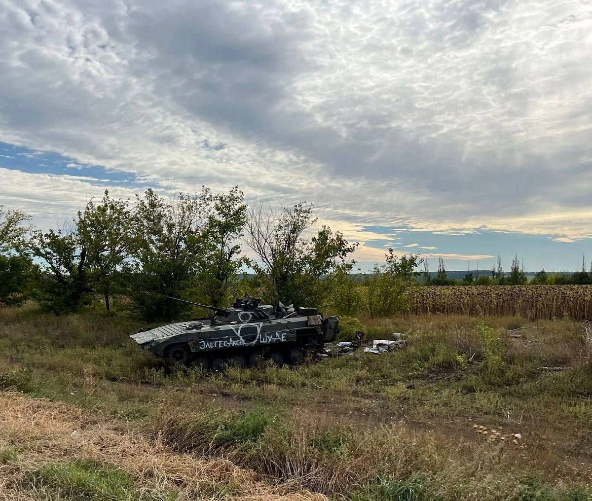
Uncorroborated reports suggest Russians are exiting this area.


medium.com
