News   GLOBAL  |  Apr 02, 2020
 9.7K     0 
News   GLOBAL  |  Apr 01, 2020
 41K     0 
News   GLOBAL  |  Apr 01, 2020
 5.5K     0 

Where would you route the DRL between University and Yonge?

  • North of Queen

    Votes: 2 1.2%
  • Queen Street

    Votes: 64 37.6%
  • Richmond/Adelaide

    Votes: 31 18.2%
  • King Street

    Votes: 34 20.0%
  • Wellington Street

    Votes: 26 15.3%
  • Front Street

    Votes: 27 15.9%
  • Rail Corridor

    Votes: 14 8.2%
  • South of the Rail Corridor

    Votes: 3 1.8%

  • Total voters
    170
Entire list is here:

http://www3.ttc.ca/PDF/Transit_Planning/Subway ridership 2009-2010.pdf

There's other non-interchange stations that are busier. Dundas, Eglinton and Finch. King is only a bit busier than Queen. Now that is 2009/2010 ... scary how much some of the stations have grown in 2011 - would be interesting to see the entire list. Hmm, and Sheppard-Yonge has shrunk - LOL.

Don't forget that the 501 Queen and 504 King are surface lines and when the passengers disembark they may enter (adding to the count) or may not enter (not adding to the count) the Subway stations at King, Queen, Osgoode, or St. Andrew. Unlike at Bloor-Yonge, where they may transfer or exit the stations, but non the less end up adding to the station counts.

Look at the Ridership and cost statistics for bus and streetcar routes for 2011 at this link.
 
However it should be complimented with short subway lines even if they're only used during rush hour. The Waterloo and City Line type lines perhaps...
Waterloo and City operates a lot more than peak. It closes a couple hours early on weekdays, and at 6:30 Saturdays, but doesn't run Sundays.
 
Don't forget that the 501 Queen and 504 King are surface lines and when the passengers disembark they may enter (adding to the count) or may not enter (not adding to the count) the Subway stations at King, Queen, Osgoode, or St. Andrew. Unlike at Bloor-Yonge, where they may transfer or exit the stations, but non the less end up adding to the station counts.
Not sure how this is different to any other station, particularly Dundas, which is the busiest downtown station south of Bloor, other than Union.
 
Have to re-iterate after today: ABU. Anywhere But Union.

Your argument is: Union is a bad choice because of a burst pipe?

How exactly would things be different if the DRL went through Queen and Queen was out of commission like Union is today?
 
Last edited:
Given that everything south of Front st is infill wouldn't anything within a few tens of metres of Front suffer the same flooding issues???
 
Your argument is: Union is a bad choice because of a burst pipe?

How exactly would things be different if the DRL went through Queen and Queen was out of commission like Union is today?

Then you'd have as few as one line out of commission instead of upwards of three.

Besides this is not the first time that Union has been shutdown due to flooding. It has happened before after heavy rains and the occasional burst water pipe.
 
Then you'd have as few as one line out of commission instead of upwards of three.

An incident at Union would force the closure of "upwards of three" subway lines? But an incident at Queen would not? Please elaborate.
 
Then you'd have as few as one line out of commission instead of upwards of three.

Besides this is not the first time that Union has been shutdown due to flooding. It has happened before after heavy rains and the occasional burst water pipe.

I guess the potential for flooding is higher farther downhill (ie. Union vs. Queen). I think the potential for flooding is also higher for deep stations vs. shallow. Maybe that is the bigger issue here in that a DRL station at Union would have to be below Union so the potential for flooding would be even higher. I think this maybe demonstates an advantage of a shallow cut-and-cover DRL overtop of the Y-U-S subway. I wonder at which East-West streets is there enough room to fit a DRL above the Y-U-S subway and below the street. I doubt anyone has a vertical profile drawing of Yonge street and subway and University avenue and subway.
 
I guess the potential for flooding is higher farther downhill (ie. Union vs. Queen). I think the potential for flooding is also higher for deep stations vs. shallow. Maybe that is the bigger issue here in that a DRL station at Union would have to be below Union so the potential for flooding would be even higher. I think this maybe demonstates an advantage of a shallow cut-and-cover DRL overtop of the Y-U-S subway. I wonder at which East-West streets is there enough room to fit a DRL above the Y-U-S subway and below the street. I doubt anyone has a vertical profile drawing of Yonge street and subway and University avenue and subway.

Having a DRL in the same area at Union would end up in the situation that the streetcar loop at Union had. Better to have it more up in the Financial District, at along Wellington or more north.

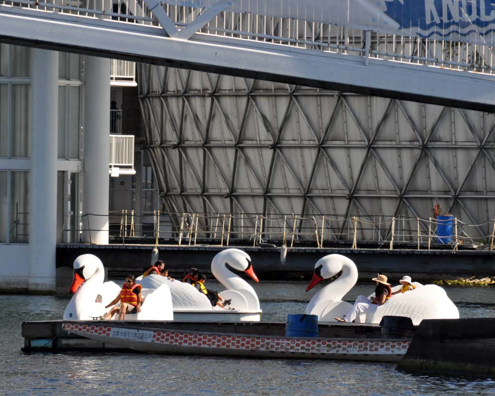
(Maybe swan boats are not such a bad idea. Some are available.
swanDSC_3661.jpg
:D ).
 
Last edited:
It should be at king IMO. I find queen too far north, and i think that the drl should have intercepting stations with the yonge line.
 
Have to re-iterate after today: ABU. Anywhere But Union.

I agree that the DRL shouldn't go through Union just because the point of "relieving" isn't achieved by pumping more people into one of the busiest stations. I don't think the burst pipe should have any part in the thought process. The moat will have a roof, the construction affecting pipes on Front will be done, and the slope out of the subway station will be downwards towards the Union Marketplace and not the station. Flooding will not occur in Union subway station in 3 years time and since the whole station is currently under construction and responsible engineers build things to 100 year storm levels I can't imagine that the Union Marketplace would flood either.
 
The more and more I think about it, the more it makes sense to de-couple the Yonge and University lines, and send the DRL/University line across Front St, and then up Parliament.

For one, it would be 3.8km vs 5.2km doing Union to Castle Frank vs Union to Pape. That's a huge difference in terms of tunnelling costs.

Next you need to look at opportunities for densification. The majority of the Pape alignment has a few limited spots around stations east of the Don. That's about it. With Parliament though, the wall of condos along Yonge is gradually pushing eastward, and will eventually reach the Don. This new subway line would be a huge catalyst for even more development than is already taking place.

So with Parliament, not only would you get the relief function that comes with connecting with B-D, you'd get densification leading to many more walk-in riders than anything east of the Don could offer.

Third, I think that Castle Frank is actually a better transfer point in terms of constructability. It's not very dense development around it, and it isn't a busy station, so shutting it down and reconfiguring it wouldn't be a show-stopper. It also sets up the opportunity to use the Don Valley itself for an extension between Bloor and Thorncliife Park, potentially saving hundreds of millions in tunnelling costs.

Shorter route, greater opportunity for densification, less costly extension possibilities.

Except you completely miss a huge opportunity to address all the major densification being put in place south of Pape (the ex-soap plant corporate campus planned by First Gulf, West Don Lands, Distillery District), you miss the opportunity to have a GO transfer station (at Gerrard or the Queen bridge).

Then, north of Castle Frank, you're stuck. Whereas, north of Pape, you can densify to the DVP at Don Mills and run the line as LRT through to Eglinton, a huge transit opportunity (build out the commercial campus, OSC, the apartments all around the north side of the valley.

I don't think you've really thought through the Parliament route as it would add to the whole transit fabric of the city.
 

Back
Top